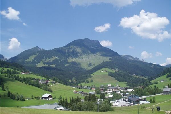
© Tourismusverband St. Martin am Tennengebirge - Max Ampferer


- Difficulty
-
medium
- Rating
-
- Route
-
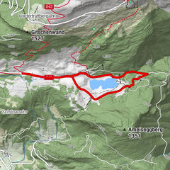
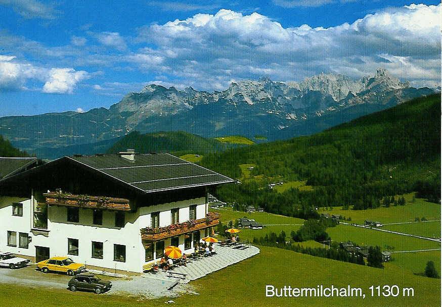
Pfarrkirche St. Martin0.2 kmSankt Martin am Tennengebirge0.3 kmButtermilchalm1.5 kmBichlberg3.1 km
- Best season
-
JanFebMarAprMayJunJulAugSepOctNovDec
- Description
-
From the Seepark in St. Martin in a northerly direction, taking a footpath alongside the main road (B166) to the church square. Turn left there an head west to the Knablhof, and uphill to the Buttermilchalm (Stamp, 4 Points). Past the Buttermilchalm and along the paved Buttermilchalmweg back to the start.
- Highest point
- 1,145 m
- Height profile
-

- Author
-
The tour St. Martin/Tgb. - Lammertal/Buttermilchalm-Rundweg (4 Punkte) is used by outdooractive.com provided.
GPS Downloads


General info
Refreshment stop
A lot of view
Other tours in the regions