

- Brief description
-
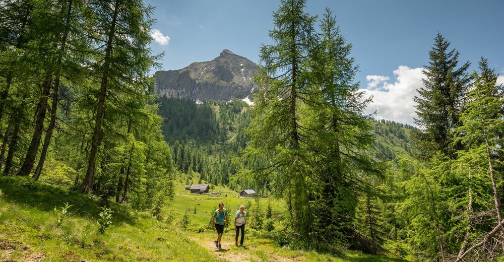
Nice circular hike from the center of Kleinarl to the Steinkaralm and Weißenhofalm.
- Difficulty
-
medium
- Rating
-
- Starting point
-
Kleinarl center
- Route
-
KleinarlPfarrkirche zum hl. Laurentius0.0 kmSteinkarhütten4.3 kmSteinkaralm4.4 kmWeissenhofalm6.1 kmPfarrkirche zum hl. Laurentius10.8 kmKleinarl10.8 km
- Best season
-
JanFebMarAprMayJunJulAugSepOctNovDec
- Description
-
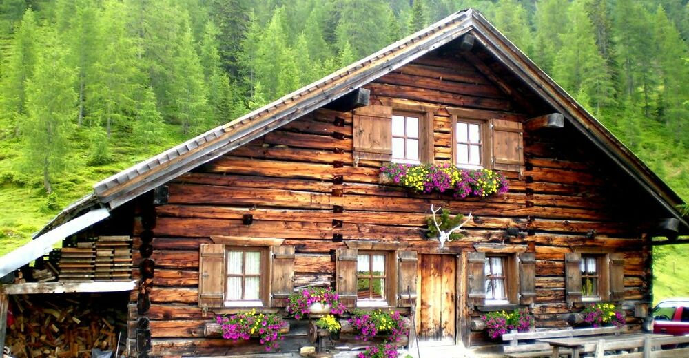
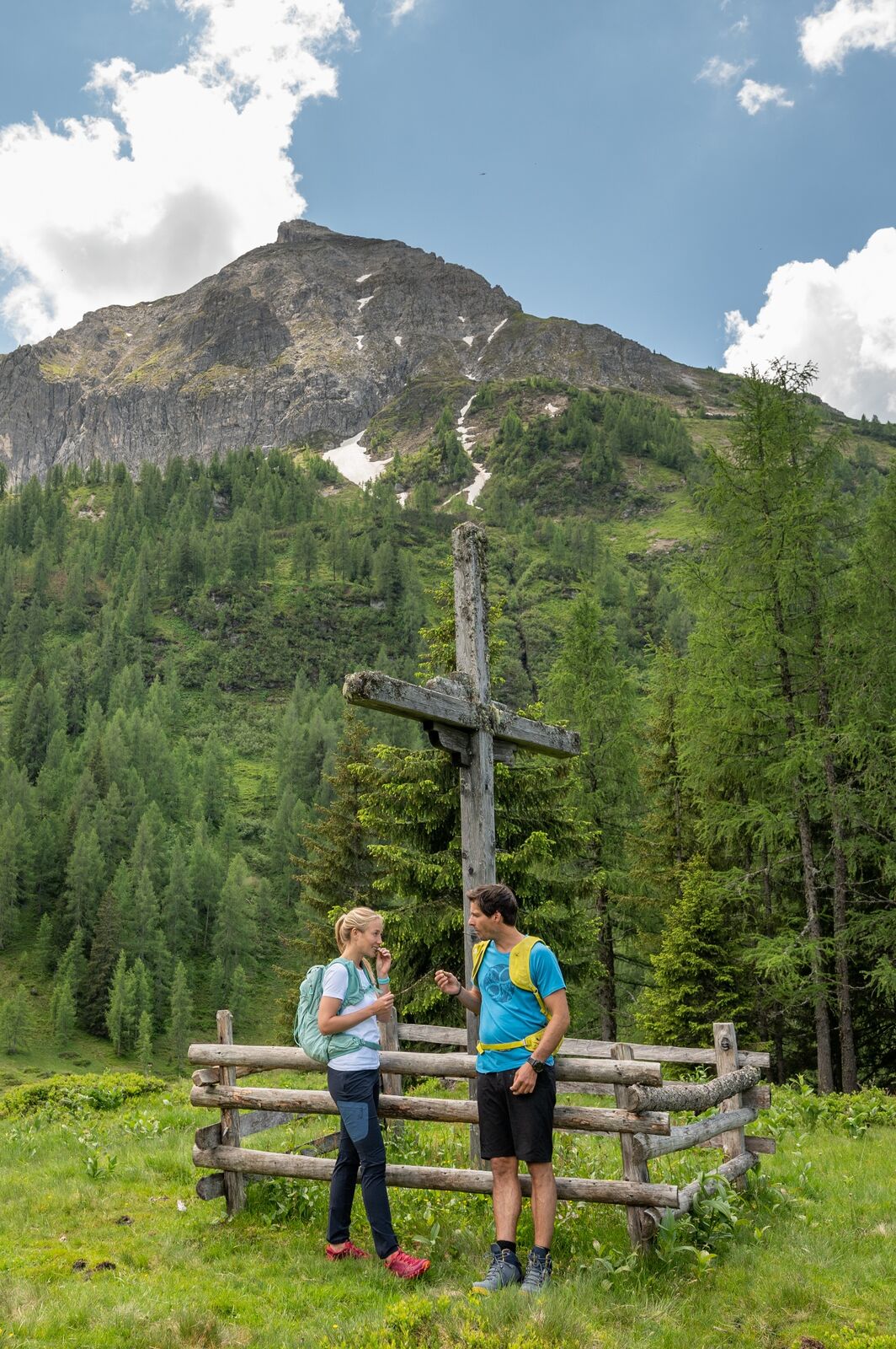
Starting from the church via Kreuzsalgasse to Stuhlweg, on to the Steineggweg junction and the Ennskraxn snack bar. After a short time the path forks. Both paths lead to the Steinkaralm (1700m)payment only cash. While the right path goes exclusively over the Forsstrasse, the left, by far more beautiful path (No. 714) leads over a meadow and a path through the forest up to the Steinkaralm. From the Steinkaralm you have a breathtaking view of the Ennskraxn.
After a little refreshment at the Steinkaralm, turn left on hiking trail no.85 to the tree line to the Weissenhofalm at 1,770m. It is also worth stopping here.
Back we follow path no.85 down to the Moosalm. At some point the path turns into a forest road. At the Moosalm we branch off to the left onto hiking trail no. 77 and follow it downwards past the middle station and the Gasthaus Galler and further downhill to the Gasthaus Pröll. Already close to the goal it goes through the “fairytale forest” back to the village to the starting point.
- Highest point
- 1,825 m
- Endpoint
-
center Kleinarl
- Height profile
-

- Equipment
-
solid footwear
- Directions
-
Via Wagrain to the center of Kleinarl.
- Public transportation
-
With the hiking bus to Kleinarl.
- Parking
-
Hikers' car park at the entrance to Kleinarl or in the center of Kleinarl.


-

-
AuthorThe tour Almenrundweg Steinkaralm and Weissenhofalm (714,85,77) is used by outdooractive.com provided.