Krefelderhüttenpath / Alexander Enzinger Path - Variant Wüstlau to Maiskogel cable car


- Brief description
-
Hike with hut overnight stay
- Difficulty
-
difficult
- Rating
-
- Starting point
-
firstmountain Hotel (Wüstlau, bus stop: Hinterwald)
- Route
-
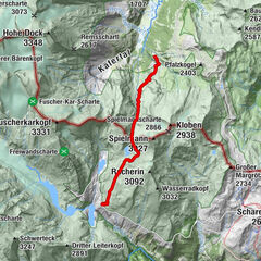
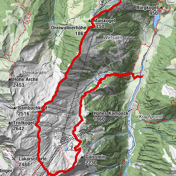
Salzburger Hütte4.6 kmKrefelder Hütte7.0 kmDreiwallnerhöhe (1,861 m)12.9 kmMaiskogel (1,750 m)13.3 kmGlocknerblick13.8 km
- Best season
-
JanFebMarAprMayJunJulAugSepOctNovDec
- Description
-
"Krefelderhüttenpath"
from the Kaprun valley up to the Krefelder hut
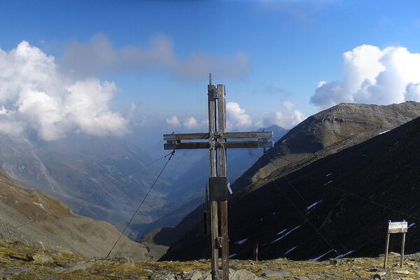
Past the managed huts (Ederalm and Salzburgerhütte) up to the Krefelderhütte (accommodation possible!)
Total walking time approx. 5 h.
After another 20 minutes you reach the Alpincenter at 2,450 m above sea level. From there it is possible to descend with the cable cars. Or from the Krefelderhütte continue along the Alexander Enzinger Weg.
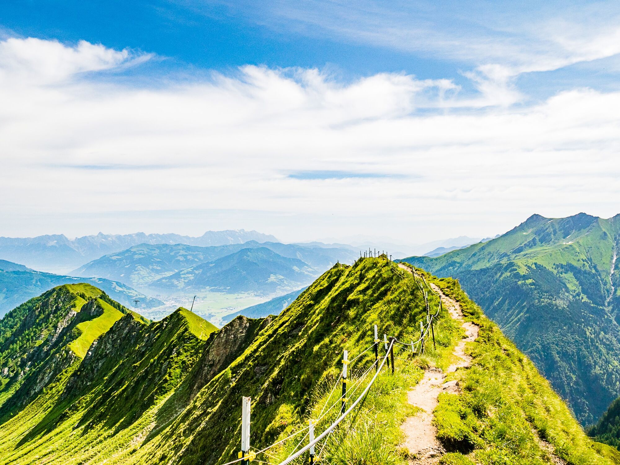
"Alexander Enzinger Weg" - beautiful mountain trail approx. 4 hours to the Jausenstation Glocknerblick, after another 20 minutes you reach the mountain station MK Maiskogelbahn. From here a descent with the new cable car to the center of Kaprun is possible.
- Directions
-
"Krefelderhüttenweg"
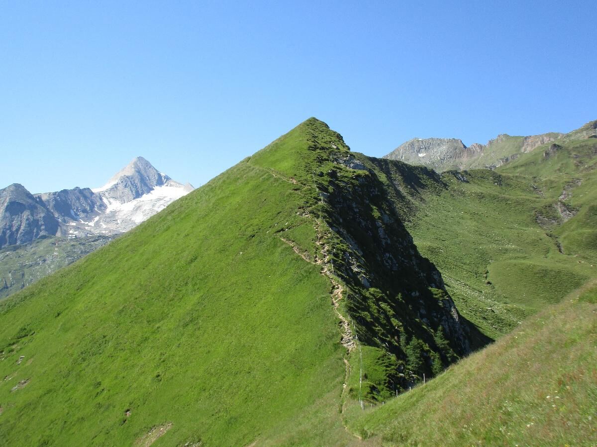
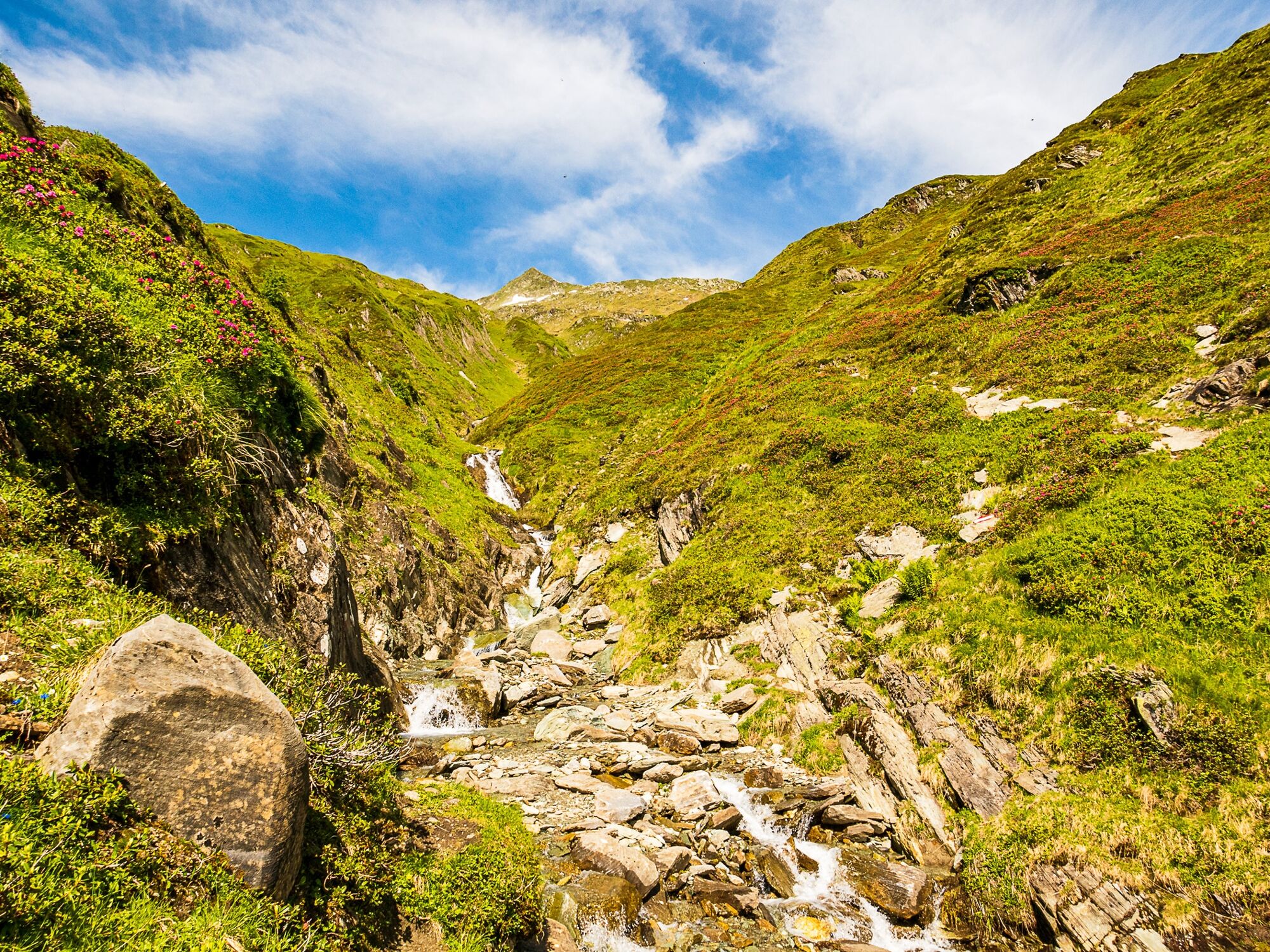
This path leads about 500 m after the Klammsee like over thebridge towards the west and up over the Hinterwallberg to the Ederalm.From here, it continues over the Grubbach cirque and the Grubbach catchment area to the Salzburger Hütte. It then proceedsin a southerly direction past the Geissstein and climbs up to theKrefelder Hütte (overnight stay possible).
Walking time about 5 hours.
After approx. 20 min you reach the Alpinecenter at 2,450 m height. From there you can ride down by cable cars.
or from the Krefelder hut along the Alexander Enzinger path.
Alexander Enzinger path
Ride up with the glacier lift to the Alpincenter at 2,452 m (the hikecan start at the Häuslalm, next to the Langwied station, at 1,976 m) Start Alpincenter: Follow the signs from the Alpincenter in directionof Krefelder hut, then further on over Stangenhöhe at 2,212 m– Schoppachhöhe at 2,069 m. From here go down to the Glocknerblick alpine guest house and further down along path no 25 or 33 (walking time around 2 hours) or after 20 min you reach the cable car station MK Maiskogelbahn. Ride down with the new cable car into the centre of Kaprun.
- Highest point
- 2,289 m
- Endpoint
-
Kaprun centre
- Height profile
-

- Equipment
-
sturdy walking shoes, protecion against rain and sun, watter bottle
- Safety instructions
-
for the Alexander Enzinger way you should be sure of steps and you need a good head for heights!
- Tips
-
Extension to 2 days possible! Overnight on about halfway in the Krefelderhütte
- Additional information
- Directions
-
From the parking Baumbar by bus or taxi to the firstmountain Hotel (former Naturhotel Steiner)
- Public transportation
-
Buses do run frequently betwen Zell am See and Kaprun
- Parking
-
Hotel first mountain, Klammsee


-

-
AuthorThe tour Krefelderhüttenpath / Alexander Enzinger Path - Variant Wüstlau to Maiskogel cable car is used by outdooractive.com provided.