- Brief description
-
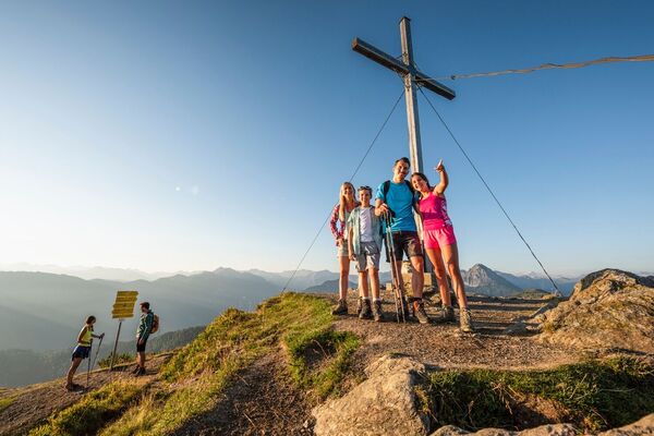
Beautiful round trip to the Schuhflicker, one of the limestone mountains in Grossarltal.
- Difficulty
-
medium
- Rating
-
- Starting point
-
Grossarl - Lainholz farm OR Aualm
- Route
-
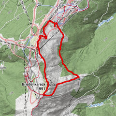
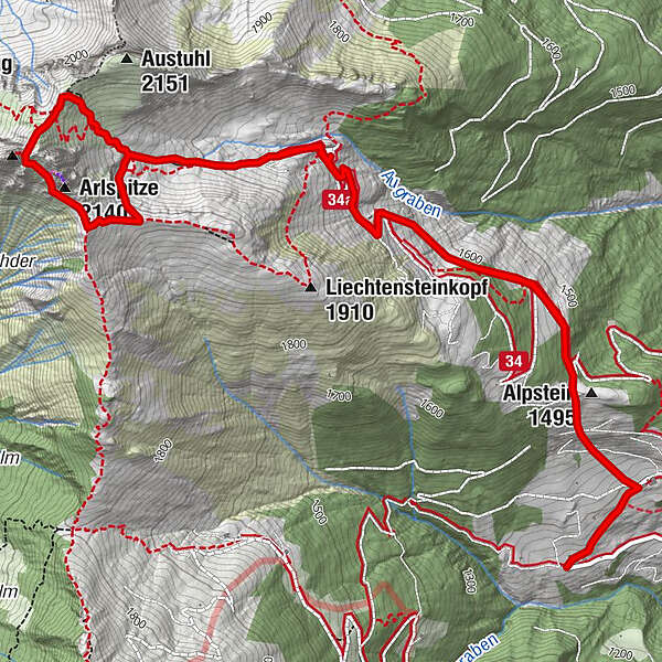
Aualm2.7 kmArlspitze (2,140 m)4.3 kmSchuhflicker (2,214 m)4.5 kmAualm6.0 km
- Best season
-
JanFebMarAprMayJunJulAugSepOctNovDec
- Description
-
You can go by car until the Aualm. Otherwise you hike up the forestry road or the shortcuts through the forest to the Aualm.
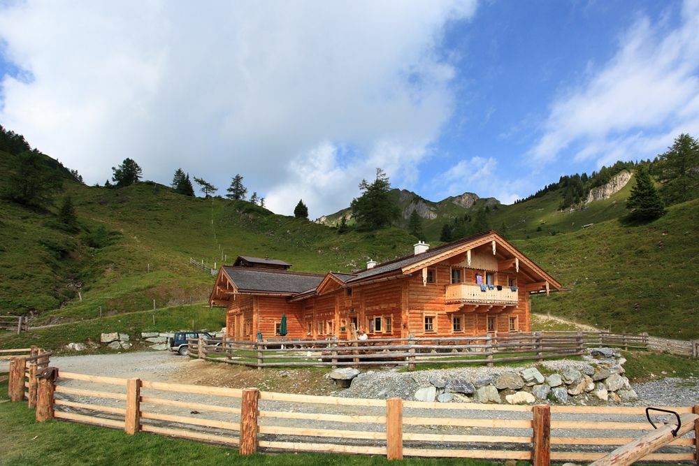
Here, you are spoiled with delicacies from their own production. There is a playground for the children.
You continue through alpine meadows to the Aukopf. Then you hike to the Schuhflicker, which is one of three limestone mountains in Grossarltal.
On the Arlspitze, which is the front peak, there are numerous climbing routes.
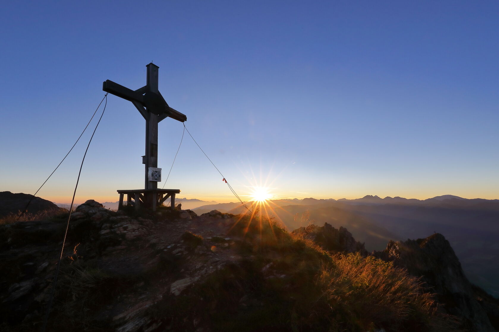
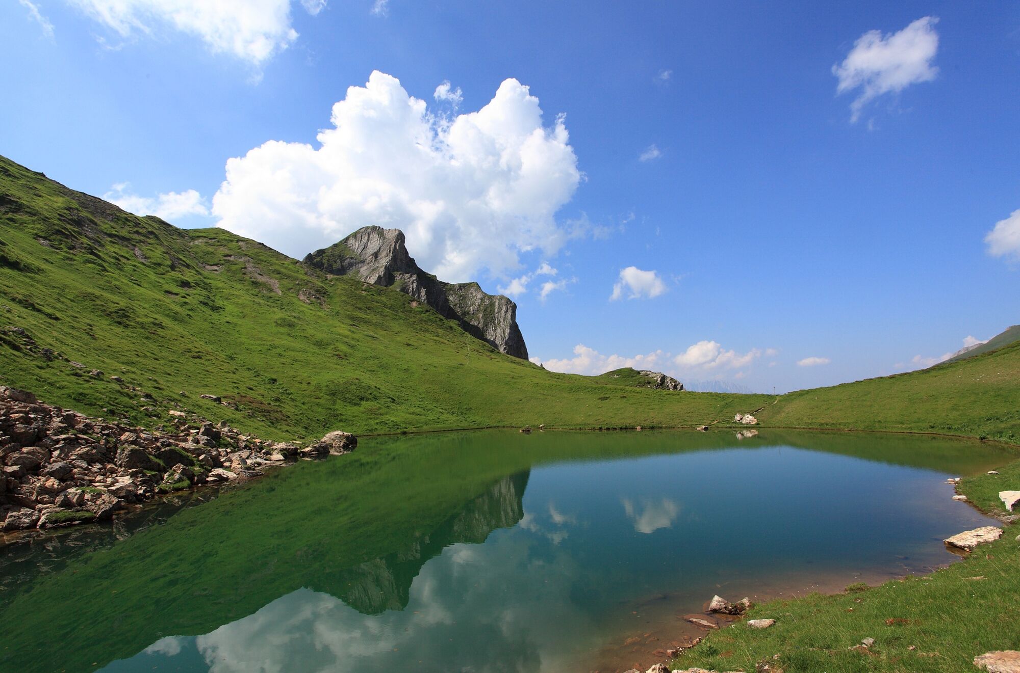
From the Schuhflicker, you have a very nice view of the Schuhflickersee (=mountain lake).
Afterwards you hike back to the Aualm, where you can taste their delicacies.
- Directions
-
You go by car to the Rattersberg road in the district of Unterberg until the Lainholz farm (OR as an option you go by car to the Aualm). You hike along the route no. 34 or via the shortcuts through the forest to the Aualm, 1,795 m (about 1-2 h). You ascend along the path no. 34, then 34B to the Aukopf (approx. 1 1/4 h). You hike along the path no. 36 to the Schuhflicker, 2,214 m (approx. 1/2 h). You descend via the Austuhl to the Aualm (approx. 1 1/4 h).
You go back by car or you hike down the the Lainholz farm (approx. 1-2 h).
- Highest point
- 2,171 m
- Endpoint
-
Aualm
- Height profile
-

- Equipment
-
hiking boots with grip sole, hiking map
- Safety instructions
-
For the last 50 m to the Schuhflicker, surefootedness is required. Furthermore, you have to be free of dizziness.
- Tips
-
You should hike to the Schuhflickersee.
- Additional information
- Directions
-
You go by car on the route Rattersberg in the district of Unterberg until the Lainholz farm or to the Aualm.
- Public transportation
- Parking
-
parking possibility at the Aualm
- Author
-
The tour Grossarl: Aualm - Aukopf - Schuhflicker is used by outdooractive.com provided.