- Brief description
-
Comfortable hiking tour to the Breitenebenalm and the Grosswildalm.
- Difficulty
-
medium
- Rating
-
- Starting point
-
Parking lot Breiteneben barrier
- Route
-
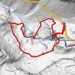
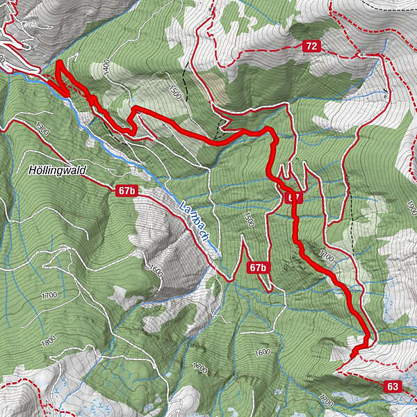
Breitenebenalm1.3 kmGroßwildalm4.1 kmBreitenebenalm6.7 km
- Best season
-
JanFebMarAprMayJunJulAugSepOctNovDec
- Description
-
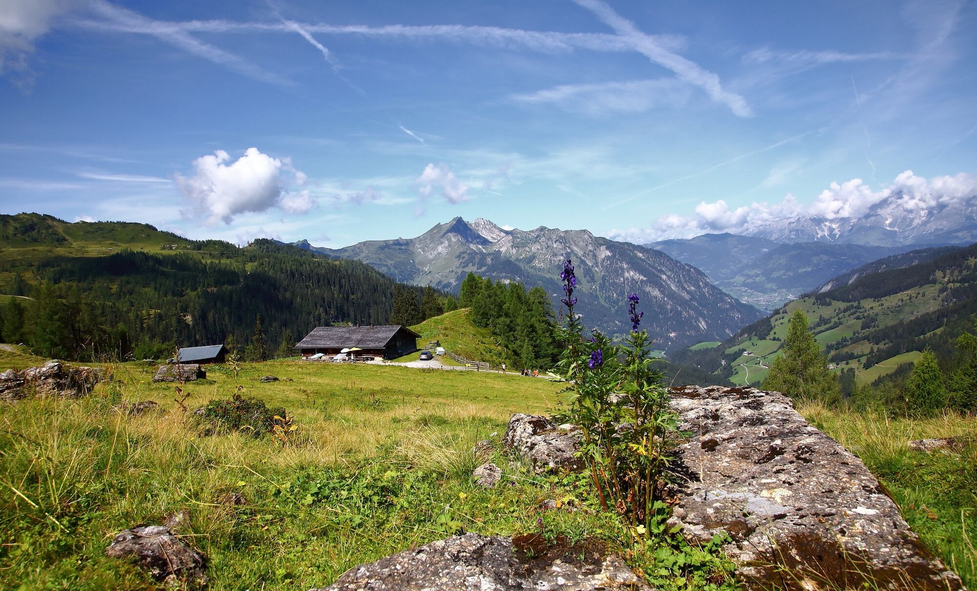
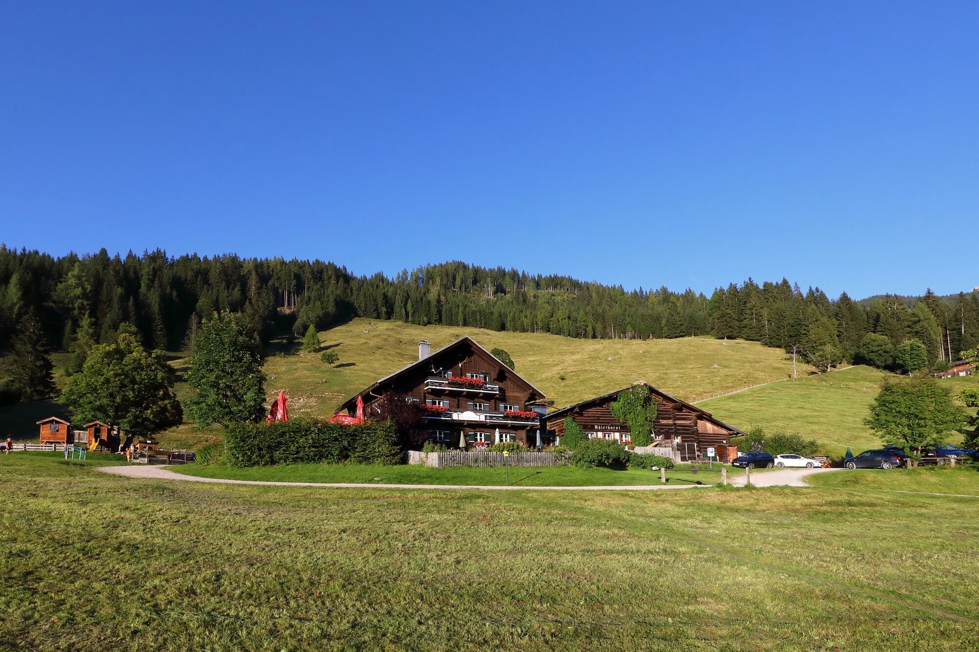
You hike up from the parking lot Breiteneben barrier on a forestry road or through the short-cuts to the Breitenebenalm. The Breitenebenalm is particularly popular for their apple strudels and freshly baked cakes. You can enjoy these on the large sun terrace. For the children there is a playground and a petting zoo.
Further you hike on a romantic trail to the Grosswildalm, where you get spoiled with self-made delicacies. You hike back on the same way.
- Directions
-
You go by car or hiking taxi on the Sonneggweg to the Sonneggbrücke and further to the Breitenebenalm barrier parking. You hike up the way no. 67 or on the short-cuts through the forest (no. 70B) to the Breitenebenalm, 1,420 m (approx. 3/4 h, alternatively you can go by car to the Breitenebenalm). Further on the path no. 67 to the Grosswildalm, 1,778 m (approx. 1 1/4 h). Back on the same way.
- Highest point
- 1,772 m
- Endpoint
-
Grossarl - Sonneggbrücke
- Height profile
-

- Equipment
-
hiking boots with grip sole, hiking map
- Additional information
- Directions
-
You go by car or by hiking taxi on the Sonneggweg in the district Au to the Sonneggbrücke and further to the Breiteneben barrier parking.
- Public transportation
- Parking
-
parking possibility at the Sonneggbrücke and the Breiteneben barrier parking
- Author
-
The tour Grossarl: Grosswildalm is used by outdooractive.com provided.
GPS Downloads


General info
Refreshment stop
Other tours in the regions