

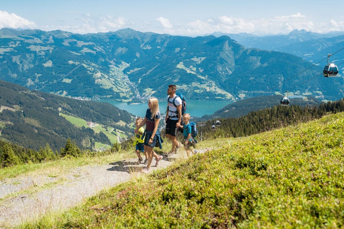
© Schmittenhöhebahn AG

© Max Steinbauer

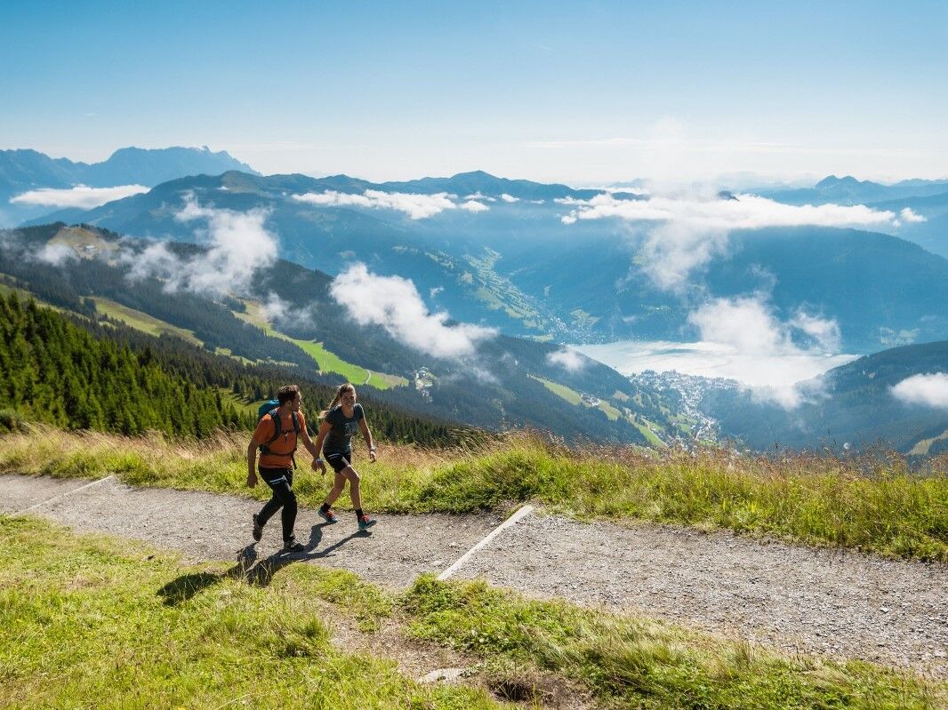
© Schmittenhöhebahn AG

© Schmittenhöhebahn AG


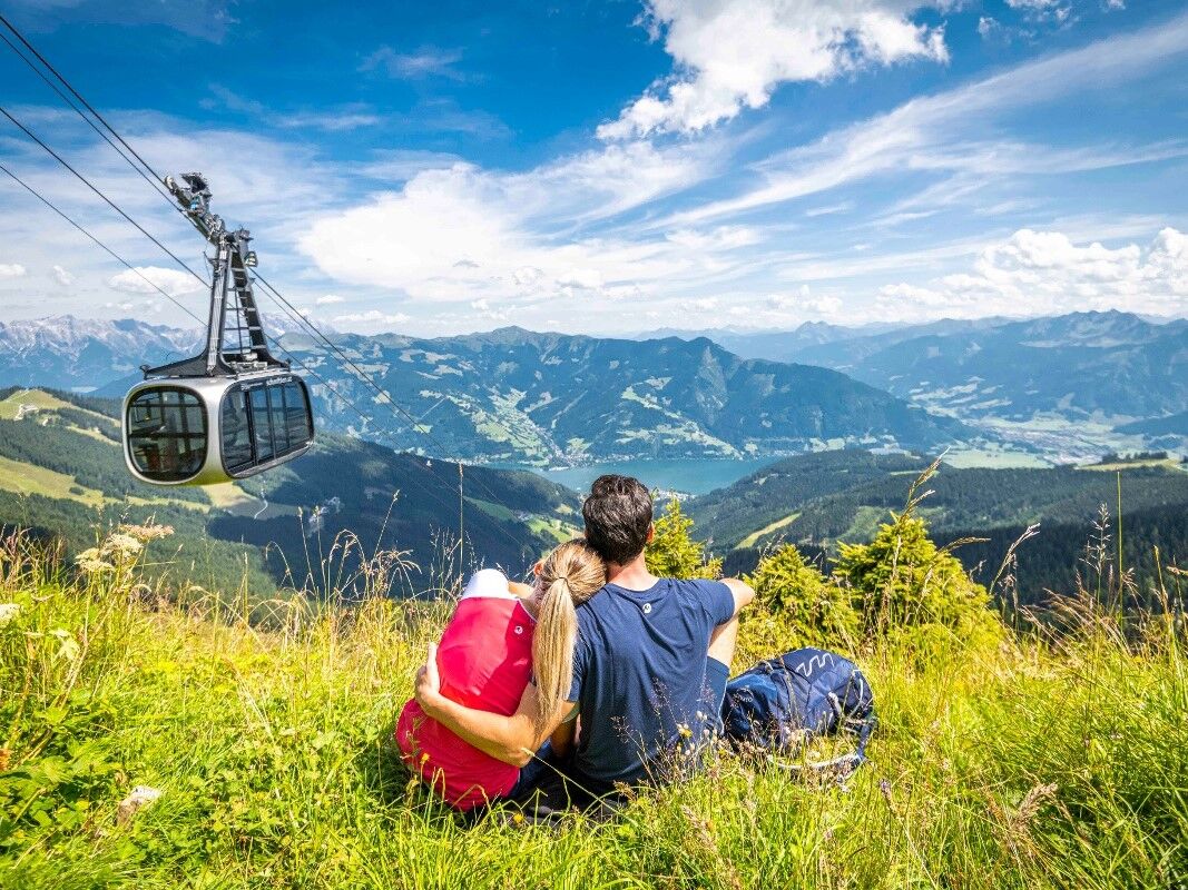
© Zell am See-Kaprun Tourismus GmbH - Renate Ecker

© Schmittenhöhebahn AG

- Brief description
-
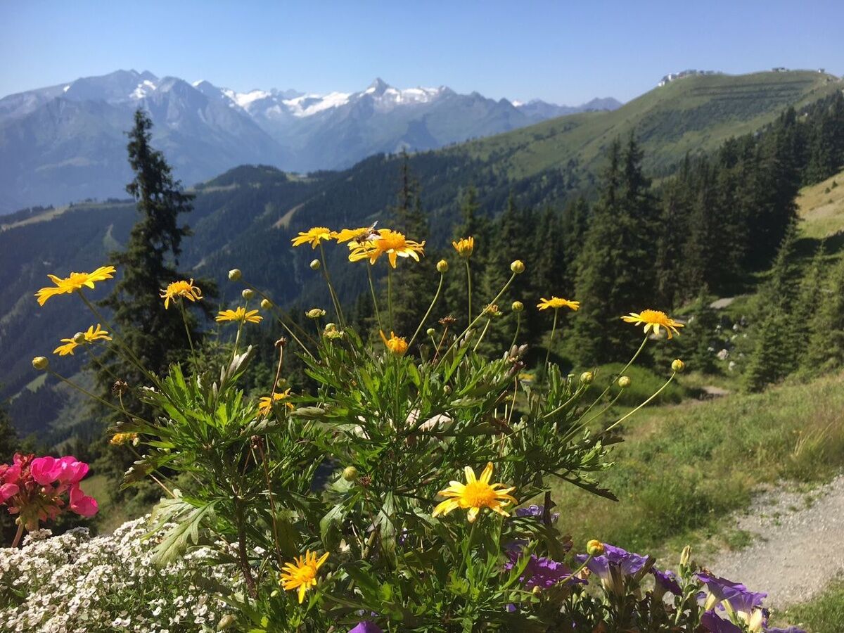
Easy trail with breathtaking mountain panorama and fun and entertainment for the whole family is guaranteed.
- Difficulty
-
easy
- Rating
-
- Starting point
-
Schmittenhöhe mountain station or Sonnkogel
- Route
-
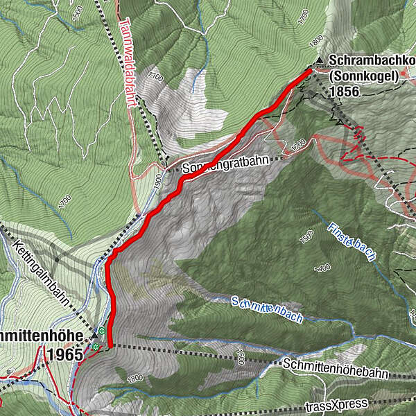
Schmittenhöhe (1,965 m)0.1 kmHochzeller-Alm0.3 kmSonnkogel Alm2.2 km
- Best season
-
JanFebMarAprMayJunJulAugSepOctNovDec
- Description
-
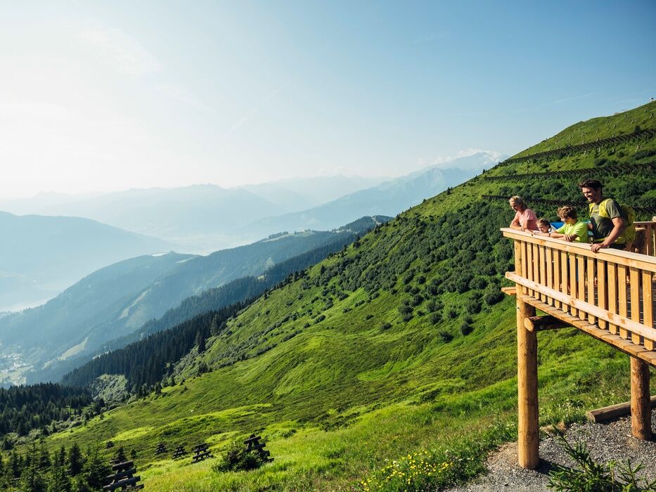
The high-altitude promenade adventure trail runs below the ridge, past the Hochzeller Alm, the ridge depression and the Salersbachköpfl to the Sonnkogel (alternatively Schmittenhöhe). There are numerous information boards, viewing platforms, telescopes, and activity stations along the high-altitude promenade. There is a playground at the Sonnkogel.
- Highest point
- 1,936 m
- Endpoint
-
Sonnkogel
- Height profile
-

- Equipment
-
Festes Schuhwerk, Regen- und Sonnenschutz! Gerade im Hochgebirge kann das Wetter schnell wechseln!
- Additional information
- Public transportation
-
train station Zell am See and bus 71
- Parking
-
at the bottom station Schmittenhöhebahn


-

-
AuthorThe tour Adventure Trail High-Altitude Promenade is used by outdooractive.com provided.
GPS Downloads


General info
Refreshment stop
Flora
Fauna
A lot of view
Other tours in the regions
-
Zell am See - Kaprun
1504
-
Schmittenhöhe
522


