


- Brief description
-
Short and scenic local hike from Maria Alm to the Chapel of Peace on the Schloßberg.
Come to peace and let yourself be grounded in the chapel. - Difficulty
-
easy
- Rating
-
- Starting point
-
Tourist office Maria Alm
- Route
-
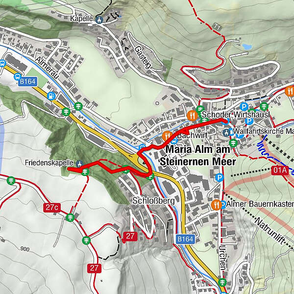
Maria Alm am Steinernen Meer0.2 kmSchloßberg0.6 kmFriedenskapelle0.8 kmWallfahrtskirche Maria Alm1.9 km
- Best season
-
JanFebMarAprMayJunJulAugSepOctNovDec
- Description
-
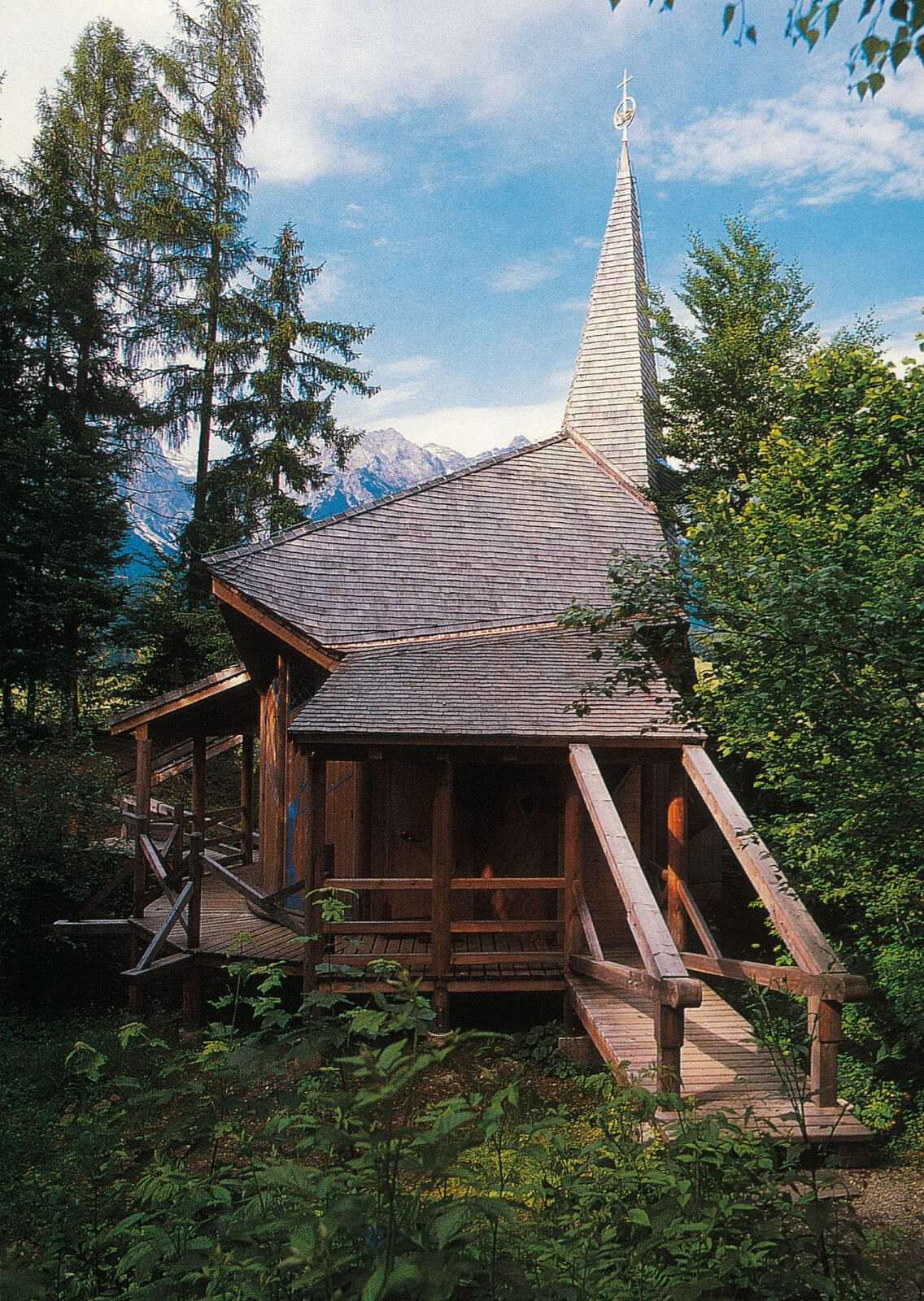
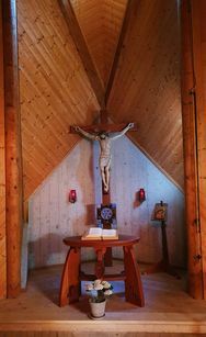
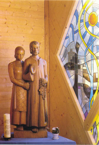
The Chapel of Peace is located above Maria Alm, hidden in the forest, and can only be reached via a narrow hiking trail.This small, modern chapel is designed for a maximum of 30 people. It is surrounded by a small square with benches that invite you to pause.The path initially leads along the road out of the village. The ascent to the Peace Chapel is partly in narrow and steep serpentines and includes some steps.
- Directions
-
The hike starts at the Maria Alm tourist office. From there, walk to the Orsteinfahrt (keep to the right), past the Hochkönigkrone. Use the subway by the main road and then walk up the Schloßberg via trail no. 27. At the first bend, a hiking trail branches off to the right and leads us to the Peace Chapel. At first, this runs comfortably through the forest, but soon climbs. As the trail continues, it becomes steeper and we reach the top via serpentines. There are always a few steps to climb along the way. At a signposted junction, we go up a little more on the right to the Chapel of Peace, which lies in the forest. A wooden path leads to the back of the chapel, where benches invite you to take a rest. The chapel is open all year round, only during the day. The way back is the same as the way there. As a variant, you can continue via the Schlossberg and return to Maria Alm via trail no. 27.
- Highest point
- 855 m
- Endpoint
-
Friedenskapelle
- Height profile
-

- Equipment
-
Sturdy, ankle-high footwear
Walking sticks
Headgear
Sun protection
Sunglasses
Rain protection
Drinks and a snack
Necessary medication
First aid kit
Hiking map - Safety instructions
-
Self-assessment Check your physical fitness before every mountain tour and correctly assess your strength as well as that of your companions - especially those of your children! Surefootedness and a head for heights are often very important!
Planning and preparation Plan each intended mountain tour in detail beforehand. Hiking maps and guides as well as information from alpine associations and local experts such as mountain guides and mountain hut keepers can be helpful.
Equipment On the mountain, you will need appropriate equipment and clothing, especially sturdy, high shoes with good grip soles. Weather and cold protection are essential, as the weather can often change unexpectedly.
Weather forecasts Take note of the current weather conditions at: www.zamg.at
Together Follow the 10 rules for the correct handling of grazing animals and do not leave any waste in nature!
Do not kick stones Do not kick stones as this can seriously endanger other hikers. Marked places with a danger of falling rocks should be crossed as quickly as possible and with attention and caution.
Turn back in good time This is not a disgrace, but a sign of common sense. It becomes necessary when the weather changes, fog rolls in, and also when the path is too difficult or not in good condition.Emergency numbers: Alpine emergency call: 140
International emergency call: 122 - Tips
-
This tour should not be done during thunderstorms as it leads through the forest.
- Additional information
- Directions
-
Coming from Salzburg: Take the A10 motorway to the Bischofshofen exit, then take the B311 towards Bischofshofen. Follow the Hochkönig Bundesstraße/B164 to Maria Alm.
Coming from Innsbruck/ Kufstein: Take the Loferer Straße/B178 in the direction of St. Johann i.T., then follow the Hochkönig Bundesstraße/B164 via Saalfelden to Maria Alm.
A valid vignette is required to use the Austrian motorway and motorway network. It is also compulsory to carry a first-aid kit, warning triangle and high-visibility waistcoat. Further information can be found under Asfinag. - Public transportation
- Parking
-
Free parking at the beginning of the village and in the centre of Maria Alm

- Author
-
The tour Hike to the Maria Alm Chapel of Peace "Friedenskapelle" is used by outdooractive.com provided.


General info
-
Saalfelden - Leogang
1787
-
Maria Alm
489


