© Mittersill Plus Tourismus - Michael Huber

© Mittersill Plus GmbH_Franz Reifmüller - Christine Reichholf
- Brief description
-
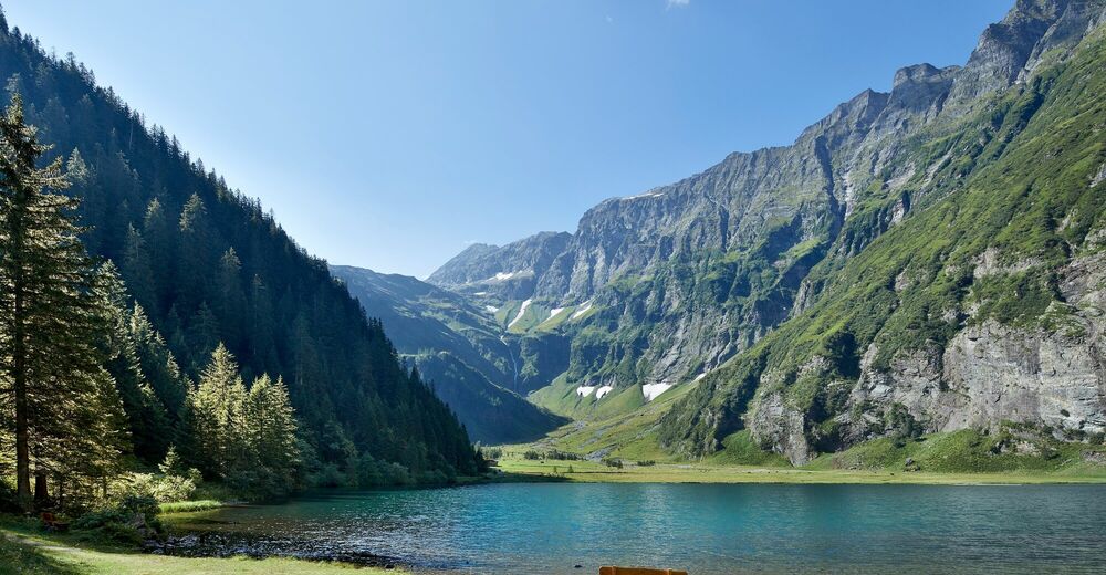
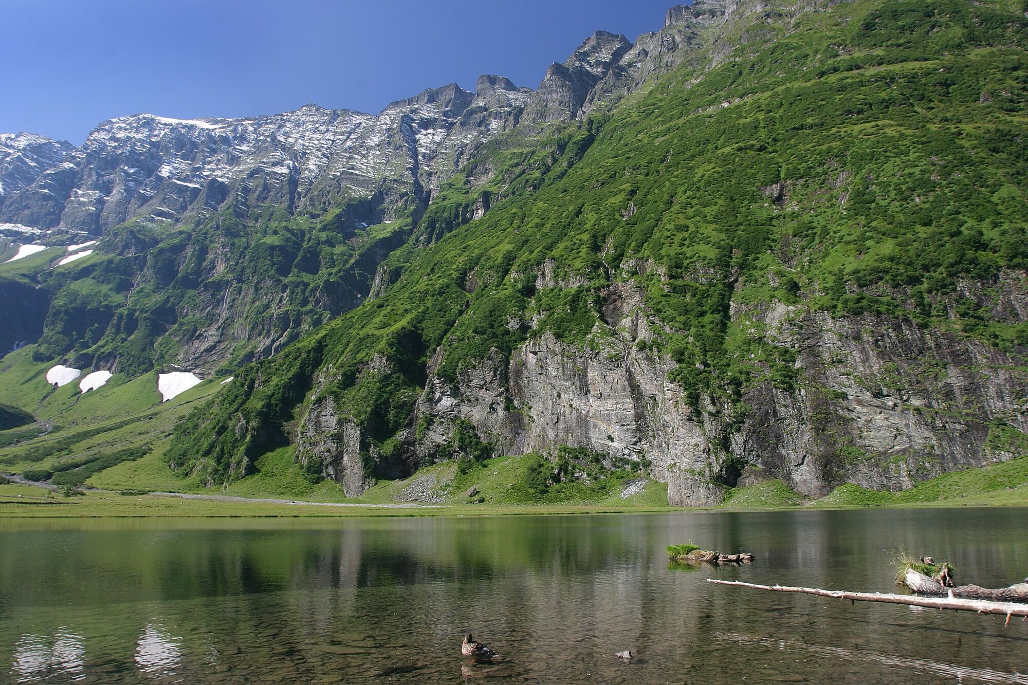
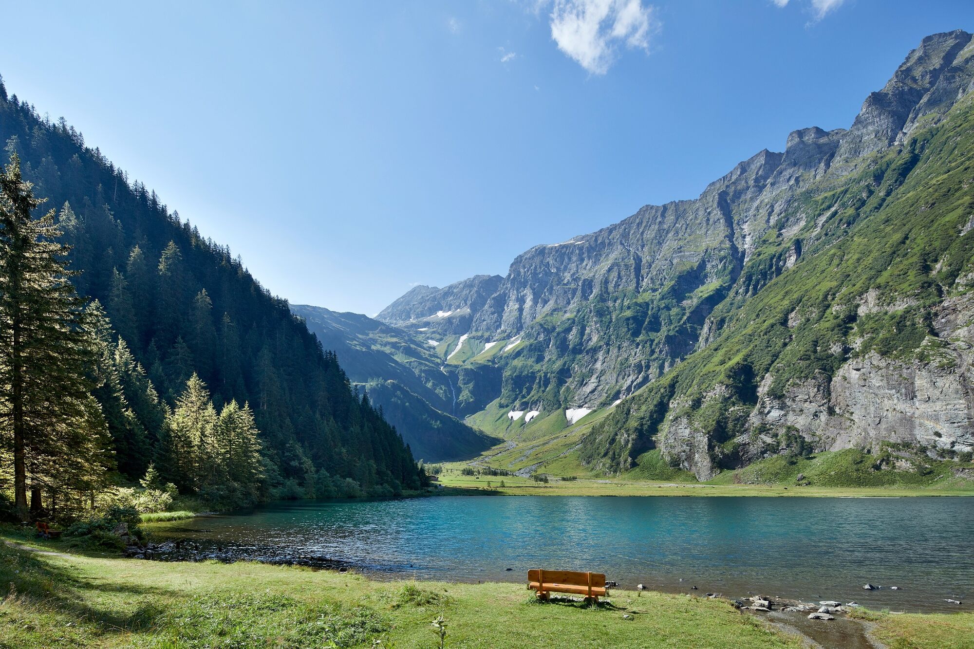
Malerisch eingebettet zwischen steilen Felswänden entstand der Hintersee nach einem gewaltigen Felssturz und ist heute ein beliebtes Ausflugsziel für Einheimishe und Gäste.
- Difficulty
-
medium
- Rating
-
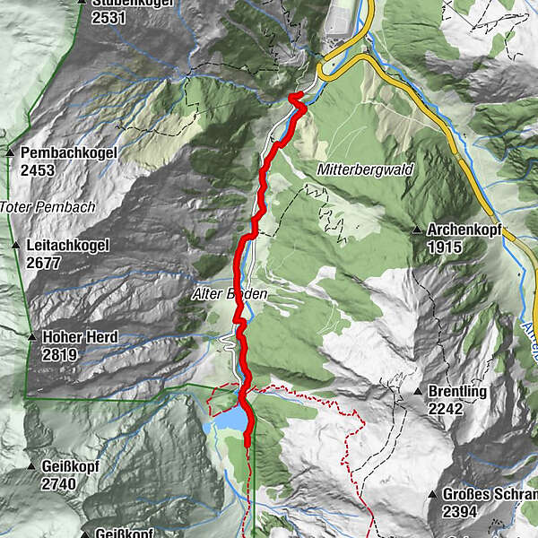
- Route
-
Jausenstation Gamsblick4.1 km
- Best season
-
JanFebMarAprMayJunJulAugSepOctNovDec
- Highest point
- 1,314 m
- Endpoint
-
Parkplatz Schösswendklamm
- Height profile
-

- Author
-
The tour Mittersill: Schösswendklamm & Hintersee is used by outdooractive.com provided.
GPS Downloads


General info
Refreshment stop
Flora
Fauna
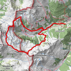
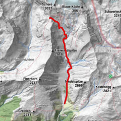
Other tours in the regions