

© Saalbach Hinterglemm - Best Mountain Artists
© Saalbach Hinterglemm - TVB Saalbach Hinterglemm

© Saalbach Hinterglemm - TVB Saalbach Hinterglemm
© Saalbach Hinterglemm - TVB Saalbach Hinterglemm
- Brief description
-
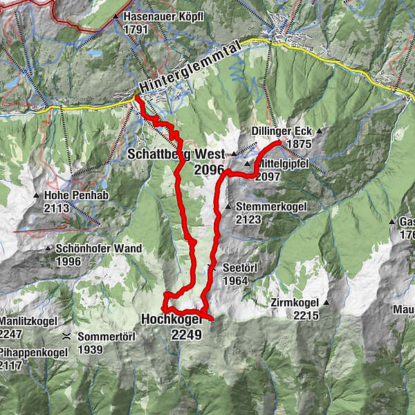
3-Peak-Tour
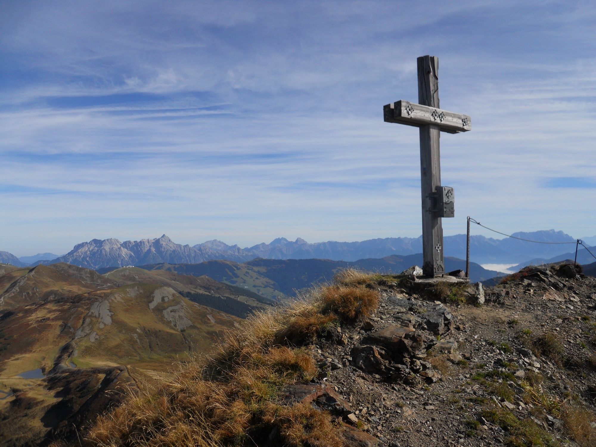
Hochkogel
Hochsaalbachkogel
Medalkogel
- Difficulty
-
difficult
- Rating
-
- Starting point
-
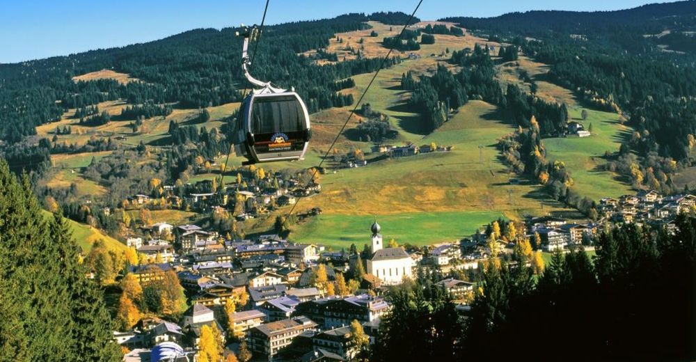
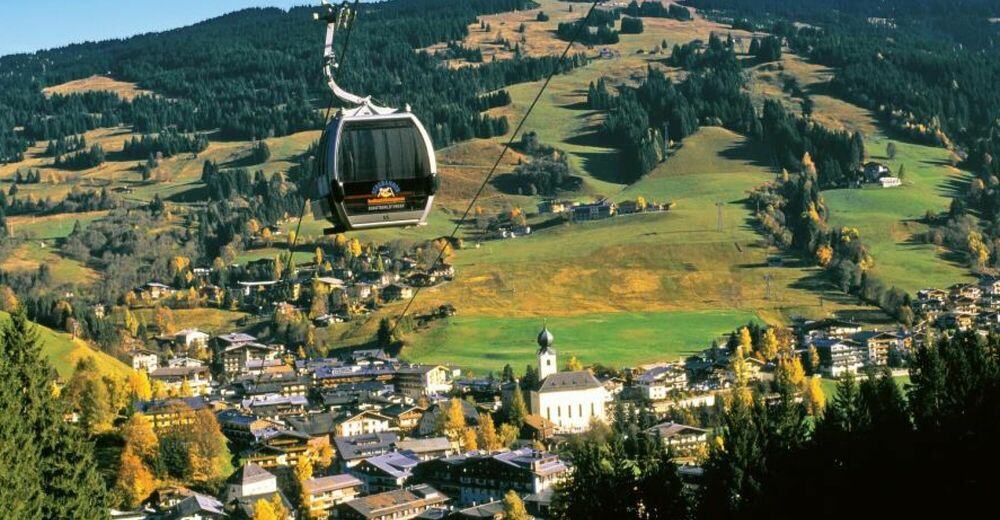
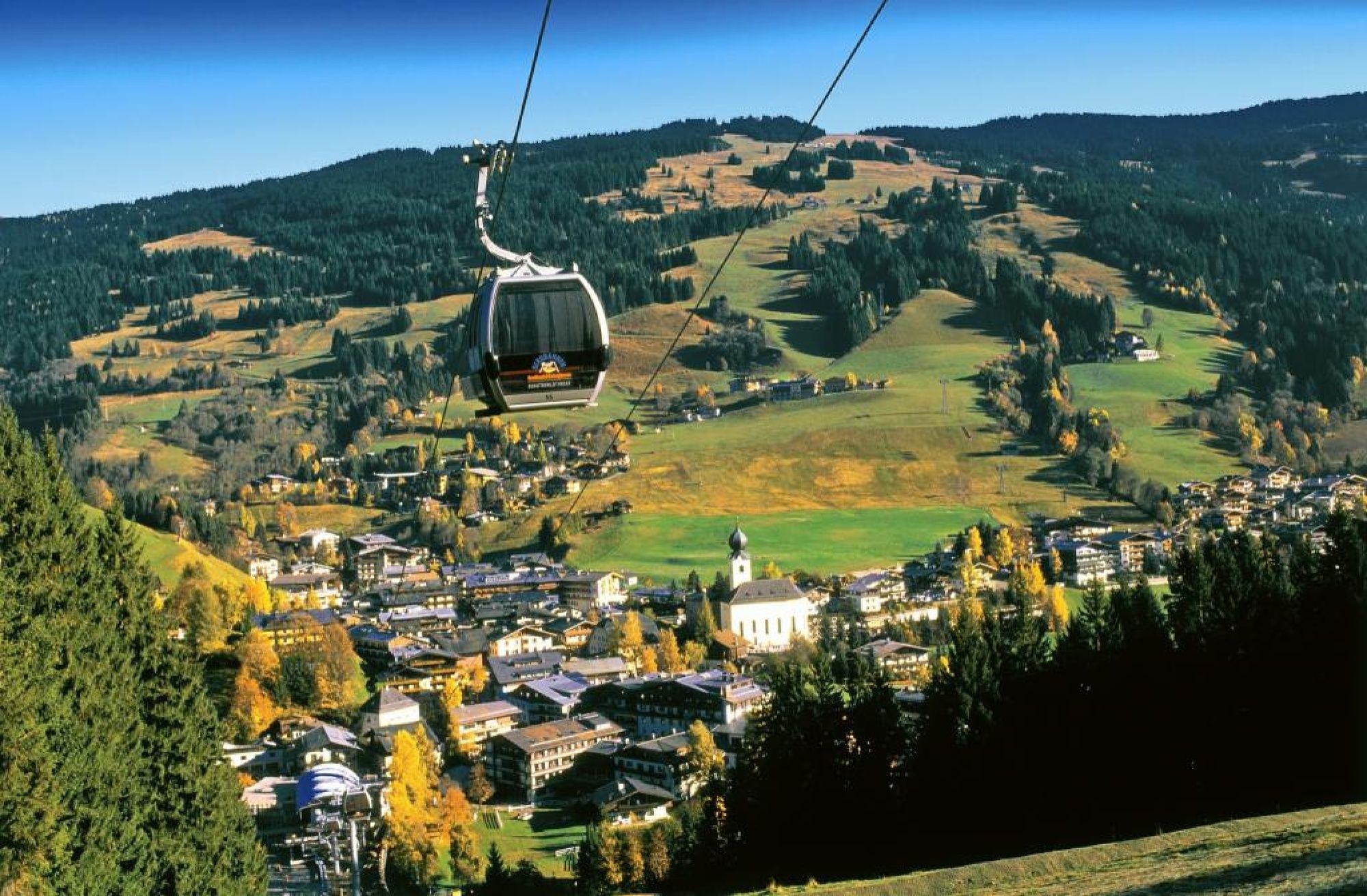
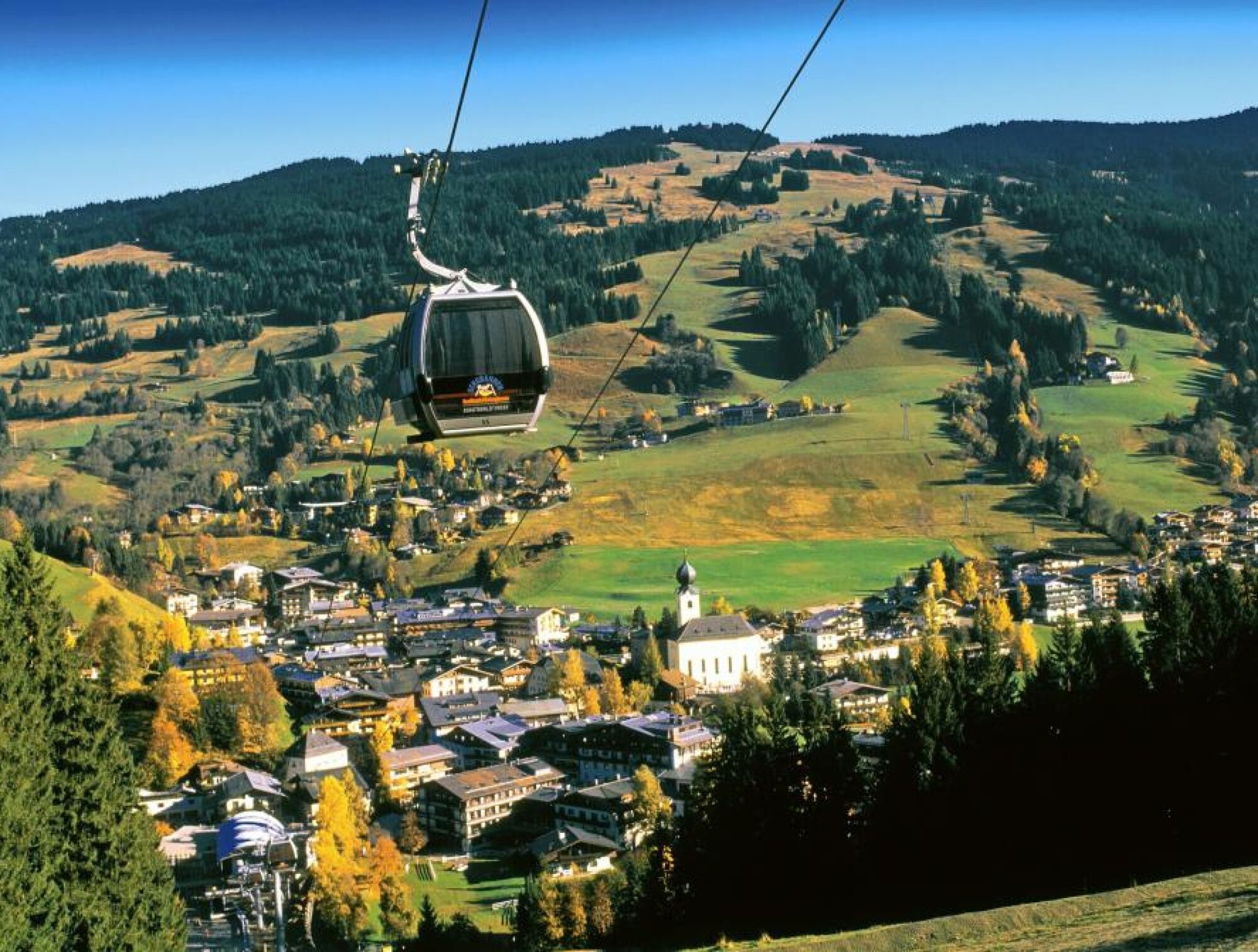
Schattberg X-press top station
- Route
-
SkyRest0.1 kmSeetörl (1,964 m)4.8 kmHochkogel (2,249 m)6.5 kmHochsaalbachkogel (2,212 m)7.0 kmMedalkogel (2,123 m)7.6 kmHacklbergalm10.8 kmBergstadl13.8 kmOberschwarzachlifte15.6 kmHinterglemm16.2 km
- Best season
-
JanFebMarAprMayJunJulAugSepOctNovDec
- Description
-
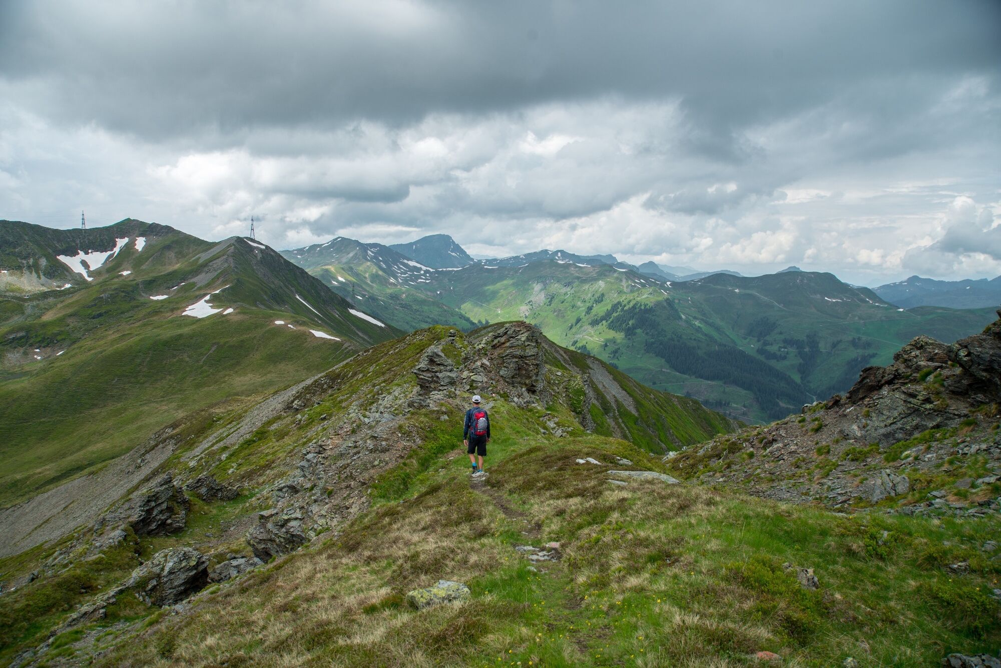
Take the Schattberg X-press to the top station. Good level of fitness is required for the steep ascent from Seetörl to Hochkogel. From here continue along the ridge on the Hochsaalbachkogel where one needs to be sure-footed and not suffer from vertigo.
The simple descent via Medalkogel, Hacklbergeralm and Bergstadl to Hinterglemm rounds off this tour. From Hinterglemm to the Schattberg X-press in Saalbach there is a daily bus connection. The return journey is also possible by foot along the Saalach promenade (approx 1 hr).
- Highest point
- 2,221 m
- Endpoint
-
Hinterglemm
- Height profile
-

- Directions
-
From Maishofen approx. 14 km along the L111 to Saalbach (Schattberg x-Press)
- Public transportation
-
Postbus – daily from 07.00 – 19.00
http://www.postbus.at/de/Fahrplanauskunft/index.jsp
- Parking
-
Parking (in and outdoor) at the Schattberg X-press
-

-
AuthorThe tour 3-Peak-Tour including Hochkogel is used by outdooractive.com provided.
GPS Downloads


General info
Refreshment stop
A lot of view
Other tours in the regions
-
Saalbach Hinterglemm
1588
-
Uttendorf - Weissee
367


