Krefelderhüttenpath / Alexander Enzinger Path - Variant Wüstlau/Alpincenter/Kaprun Center


- Brief description
-
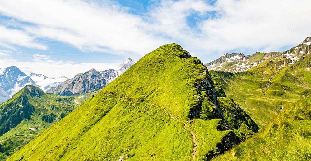
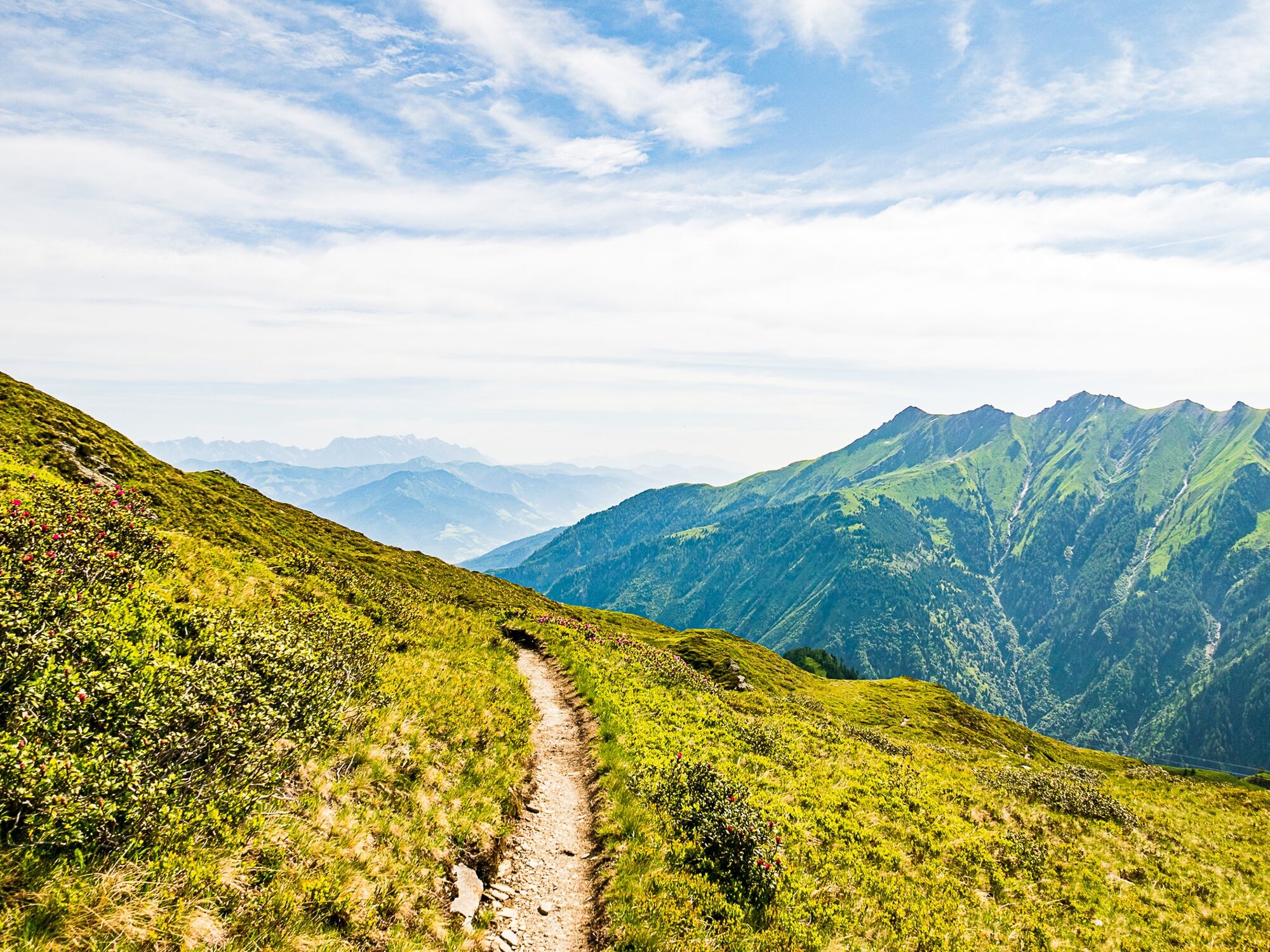
beautiful high trail tour with possible with overnight stay
- Difficulty
-
difficult
- Rating
-
- Starting point
-
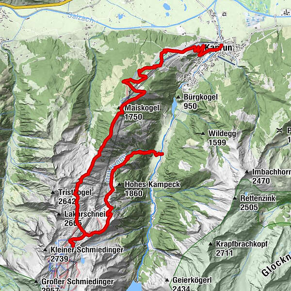
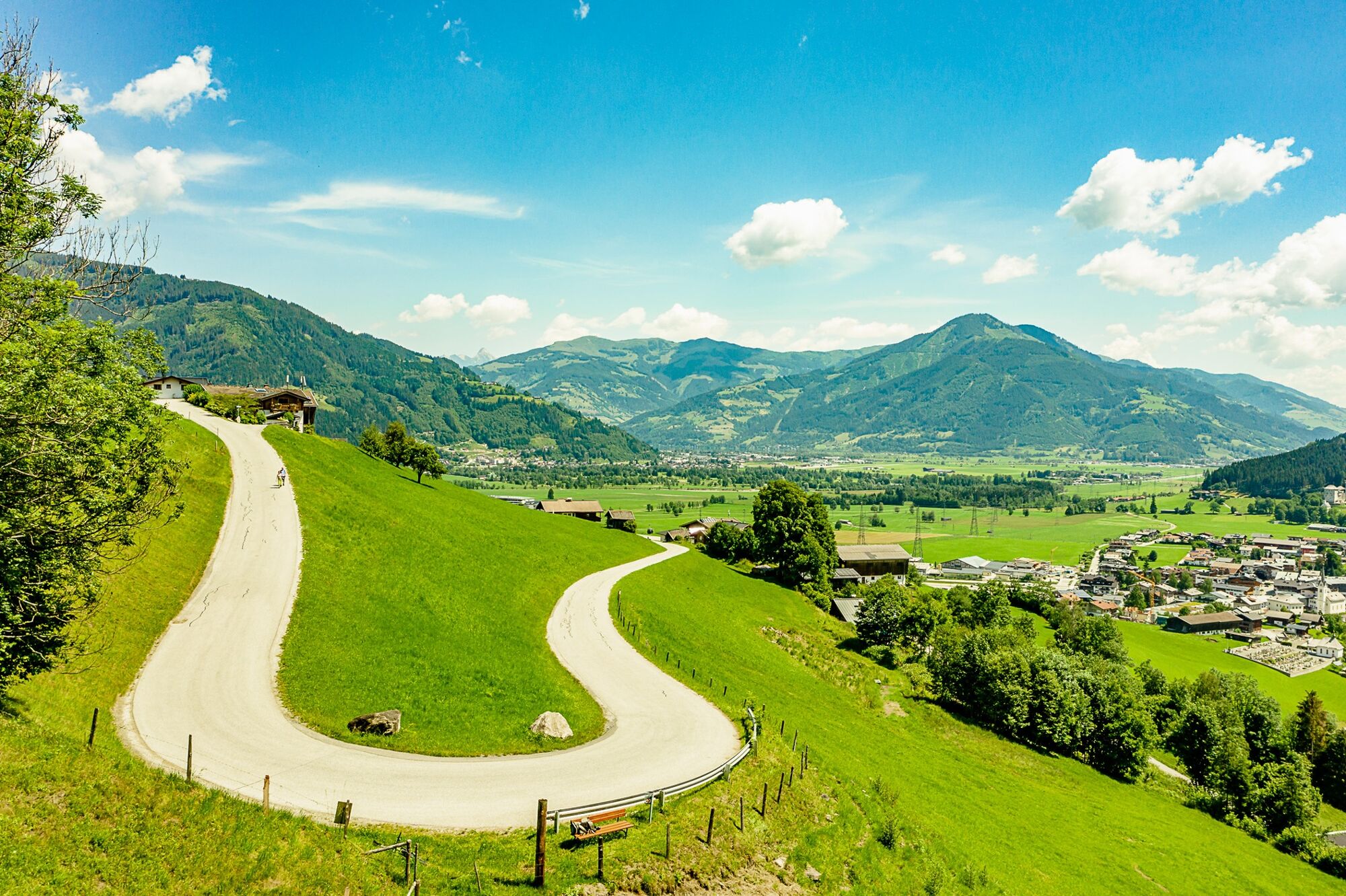
Kaprunertal valley, Klammsee reservoir
- Route
-
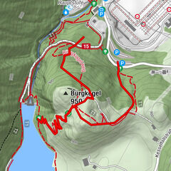
Salzburger Hütte4.6 kmKrefelder Hütte7.0 kmLangwiedbahn (2,453 m)8.2 kmDreiwallnerhöhe (1,861 m)14.6 kmMaiskogel (1,750 m)15.0 kmGlocknerblick15.5 kmJausenstation Unteraigen22.1 kmKaprun23.3 kmPfarrkirche Kaprun23.5 km
- Best season
-
JanFebMarAprMayJunJulAugSepOctNovDec
- Description
-
" Krefelderhüttenweg"
From the Wüstlau via the Salzburger Hütte to the Krefelderhütte. "Alexander Enzinger Weg" to Maiskogel From here you can descend with the MK Maiskogelbahn to the center of Kaprun. If you decide on the descent on foot (about 2 hours) you follow the freight road Maiskogel (No. 33) to the valley.
- Directions
-
This path leads about 500 m after the Klammsee like over thebridge towards the west and up over the Hinterwallberg to the Ederalm. From here, it continues over the Grubbach cirque and the Grubbach catchment area to the Salzburger Hütte. It then proceedsin a southerly direction past the Geissstein and climbs up to the Krefelder Hütte. The ascent up to the Geisssteingipfel summit is notsafe-guarded. Approx. 45 min. walk.
Ride up with the glacier lift to the Alpincenter at 2,452 m (the hike canstart at the Häuslalm, next to the Langwied station, at 1,976 m) StartAlpincenter: Follow the signs from the Alpincenter in the direction ofthe Krefelder hut and then further on over the Stangenhöhe at 2,212m – Schoppachhöhe at 2,069 m. From here go down to the Glocknerblick alpine guest house. After about 20 min you reach Maiskogel and Saulochalm. From here you can walk down along path no 25 or 33 or you can ride down with the new MK Maiskogel cable car into the centre of Kaprun..
- Highest point
- 2,448 m
- Endpoint
-
Kaprun centre
- Height profile
-

- Equipment
-
Good food wear, protection agains rain and sun! The weather can change quickly in the mountains!
- Safety instructions
-
At least one person in the group ought to have some experience of hiking tours in the mountains!
- Tips
-
You can extend the tour for 2 days. Half way you find the Krefelderhütte: www.krefelderhuette.com/
- Additional information
- Directions
-
From the car park Baumbar by bus 660 to the bus stop Kaprun Hinterwald.
- Public transportation
-
Buses do operate frequently between Zell am See and Kaprun
- Parking
-
Parking place Klammsee


-

-
AuthorThe tour Krefelderhüttenpath / Alexander Enzinger Path - Variant Wüstlau/Alpincenter/Kaprun Center is used by outdooractive.com provided.