


- Brief description
-
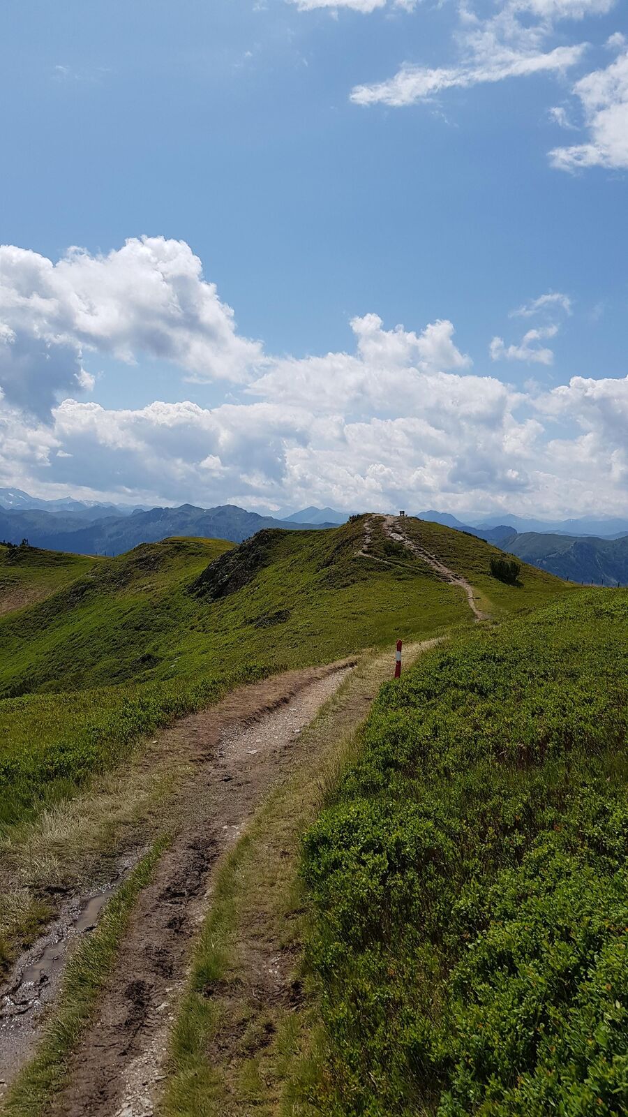
Easy, promising hike from the Flying Mozwart mountain station over the Bettlersteig to the Ahornkarkopf and back over the Grießenkareck.
- Difficulty
-
medium
- Rating
-
- Starting point
-
Wagrain, Flying Mozart - mountain station
- Route
-
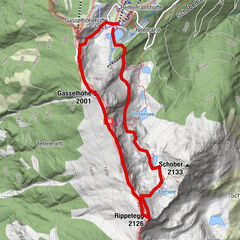
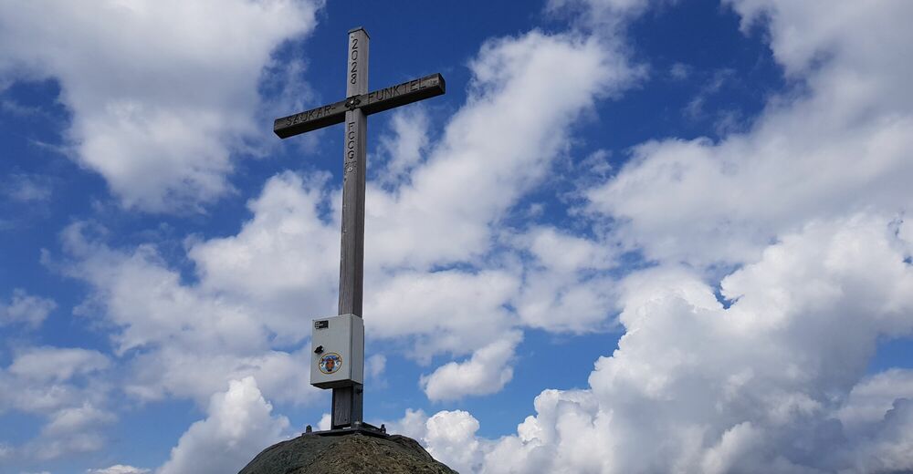
Kogelalmbahn0.0 kmWagrainerhaus1.0 kmSaukarkopf (2,014 m)4.0 kmSaukarfunktel (2,024 m)4.3 kmGrießenkareck (1,991 m)5.5 km
- Best season
-
JanFebMarAprMayJunJulAugSepOctNovDec
- Description
-
The Flying Mozart gondola takes you to the mountain station. From here you descend to the Wagrainer Haus and up to the ridge (AV-Steig No. 714), branch off further to the right and via the "Bettlersteig" (No. 714a) to the Ahornkarkopf or Ahornkarsattel. Here you branch off to the left and reach the Saukarkopf via AV-Steig No. 714, continue to Grießenkareck (1991m) and via path No. 41 back to the starting point.
- Highest point
- 1,982 m
- Endpoint
-
Wagrain, Flying Mozart - mountain station
- Height profile
-

- Equipment
-
solid footwear
- Directions
-
To Wagrain to the valley station of the Flying Mozart gondola.
- Public transportation
-
With the hiking bus to the Flying Mozart valley station in Wagrain.
- Parking
-
Parking lot at the Flying Mozart valley station.


- Author
-
The tour Bettlersteig - Bergstation Flying Mozart - Grießenkareck is used by outdooractive.com provided.