© Wagrain-Kleinarl Tourismus - Agnes Moser
© Wagrain-Kleinarl Tourismus - Agnes Moser

© Wagrain-Kleinarl Tourismus - Agnes Moser

- Brief description
-
Nice short hike from the Edelweiss Alm to the Jandlalm.
- Difficulty
-
easy
- Rating
-
- Starting point
-
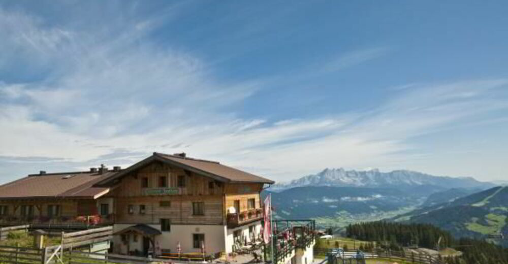
Edelweißalm
- Route
-
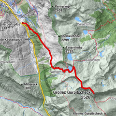
Edelweißalm0.0 kmFranzl Alm0.5 kmFranzl Alm6.6 kmEdelweißalm7.1 km
- Best season
-
JanFebMarAprMayJunJulAugSepOctNovDec
- Description
-
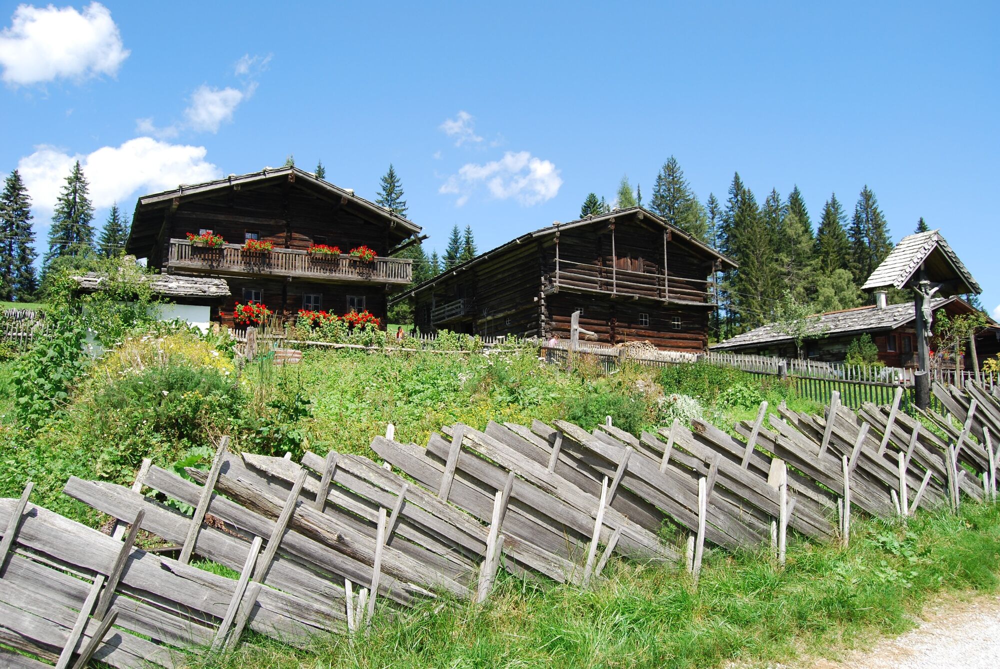
From the Edelweißalm, via path no. 63 to the Grießenkaralmen (Jandlalm). It is also possible to descend via path no.64 and no.714 to Nazbauer and via forest road (no.62) back to the starting point. On the way back, it is worth visiting the farm museum and stopping at the Edelweissalm.
- Highest point
- 1,693 m
- Endpoint
-
Edelweißalm
- Height profile
-

- Directions
-
To Wagrain and via Weberlandl to the Edelseissalm car park.
- Parking
-
Parking lot from the Edelweissalm.


-

-
AuthorThe tour Jandlalm from the Edelweiss Alm is used by outdooractive.com provided.
GPS Downloads


General info
Refreshment stop
Other tours in the regions