
- Brief description
-
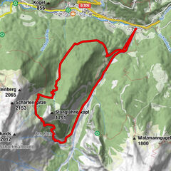
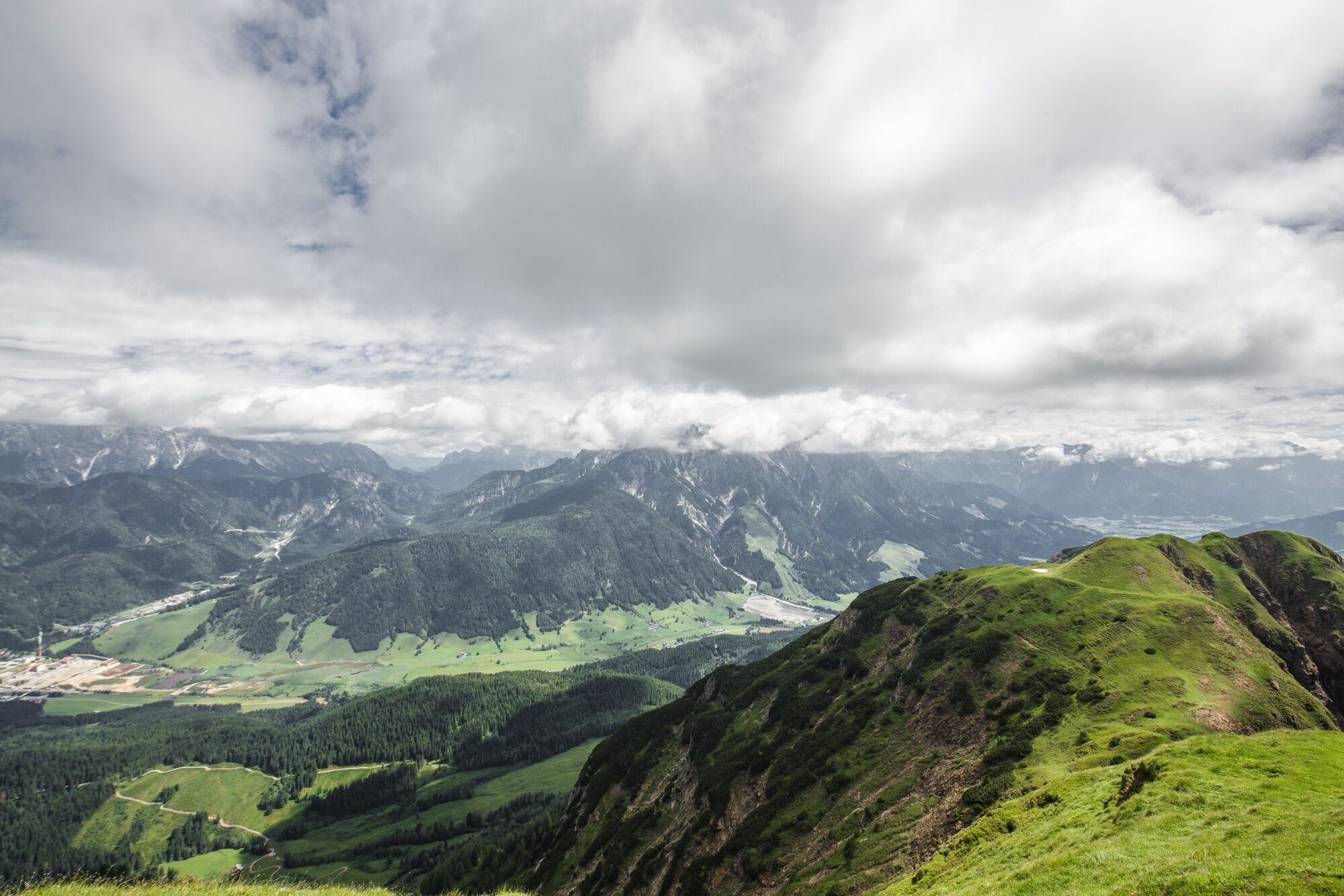
Hiking tour to the Spielberghorn, starting from the Tödlinggut
- Difficulty
-
medium
- Rating
-
- Starting point
-
Car park Knappenstube/ Unterberghaus
- Route
-
Grießen0.3 kmSonnkogel (1,727 m)4.6 kmKuhfeldhörndl (1,942 m)6.0 kmMitterhörndl (1,989 m)6.4 kmSpielberghorn (2,044 m)7.1 km
- Best season
-
JanFebMarAprMayJunJulAugSepOctNovDec
- Description
-
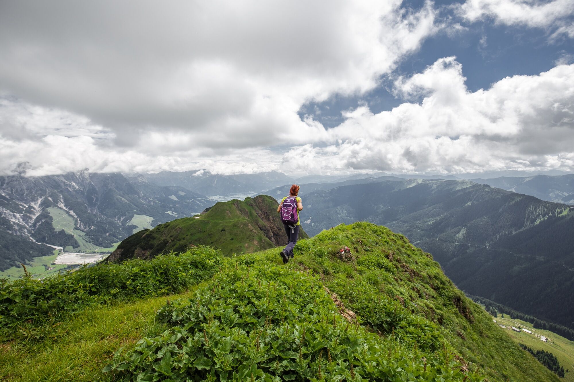
The starting point of this hike is the Tödlinggut in Leogang. From here, just cross the street and follow the marked path into the forest. Then the path leads you across pastures and through forests until you reach a higher altitude and can already see the peak. Follow the signs to Sonnkogel and Kuhfeldhörndl until you reach Spielberghorn. This hike requires a good hiking condition and a lot of elevation gain.
- Directions
-
From the starting point at the Knappenstube Leogang, start in a western direction, across a bridge up to the Adamalm mountain hut. From there, continue in a eastern direction to the Scheltaualm and then across the Spielbergsattel to the peak of the Spielberghorn.
Note: Alternatively, you can descend in a south-western direction along the border of Tyrol and Salzburg via the Spielbergtörl. From there the path leads you in an eastern direction down to the Spielbergalmen. Be careful when it's raining, because then the path is very muddy.
- Highest point
- 2,025 m
- Endpoint
-
Spielberghorn
- Height profile
-

- Tips
-
It's a very special experience, if you enjoy the sunrise on one of the three peaks
- Directions
-
BY CAR
Coming from Saalfelden or from St. Johann in Tyrol via the federal highway B164 to Leogang.
- Public transportation
-
BY BUS
Exit the bus at the bus station "Hütten, Grießen"
- Parking
-
A marked car park is available at the starting point Tödlinggut (limited parking)


-

-
AuthorThe tour Spielberghorn is used by outdooractive.com provided.


General info
-
Saalbach Hinterglemm
1594
-
Hochfilzen
410