

© Zell am See-Kaprun Tourismus GmbH - Dominik Wartbichler

© Zell am See-Kaprun Tourismus GmbH - Dominik Wartbichler

© Zell am See-Kaprun Tourismus GmbH - Dominik Wartbichler

© Zell am See-Kaprun Tourismus GmbH - Dominik Wartbichler

© Zell am See-Kaprun Tourismus GmbH - Dominik Wartbichler

- Brief description
-
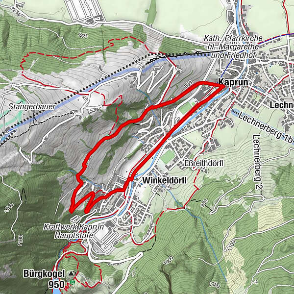
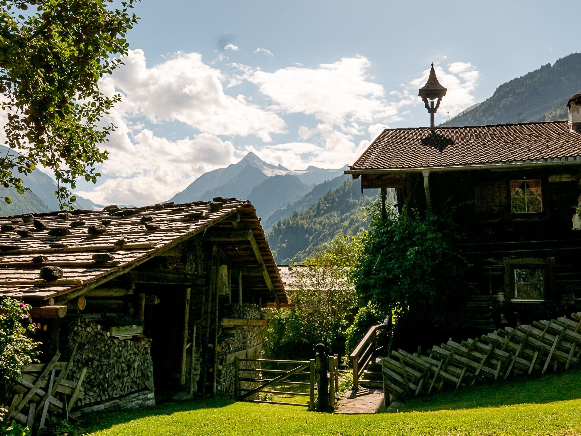
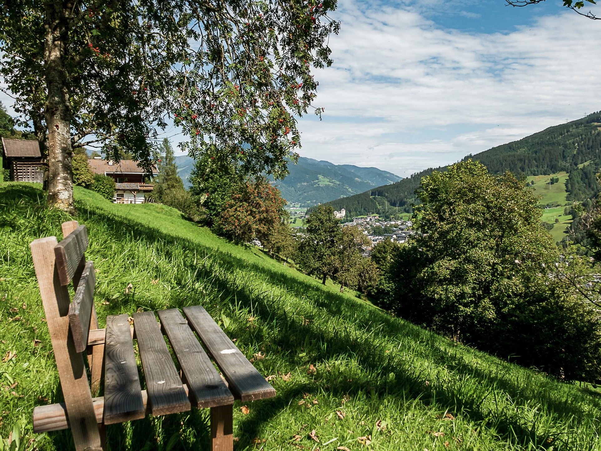
Small circular route (mostly asphalt) with a beautiful view of Kaprun
- Difficulty
-
easy
- Rating
-
- Starting point
-
Kaprun middle school, Schulstraße
- Route
-
KaprunOrt1.2 kmWerkssiedlung2.4 kmKaprun4.0 km
- Best season
-
JanFebMarAprMayJunJulAugSepOctNovDec
- Directions
-
Begin at the Schulstrasse, straight up along the Schaufelbergstrasse until you come to the first bend. Continue straight ahead wandering past the Ortlehen and Grossental farms, at which point the asphalt road finishes. From the Grossental farm carry on along a gravel path and continue overthe Menggraben and around a few bends until you reach Kaprun south.
Back to Kaprun via the cycle and walking path.
- Highest point
- 892 m
- Endpoint
-
Kaprun Süd
- Height profile
-

- Public transportation
-
Bus 660 to Kaprun Ortsmitte
- Parking
-
at Kaprun centre


-

-
AuthorThe tour Großentalweg Walking Path is used by outdooractive.com provided.
GPS Downloads


General info
A lot of view
Other tours in the regions


