Erzweg Kupfer - 5. Etappe (UNESCO-Geopark Erz der Alpen)

Thematic route
Tour data
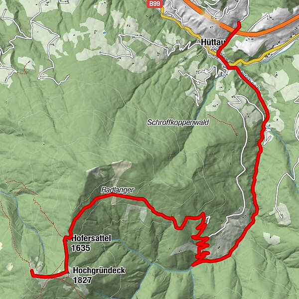
12.55km
697
- 1,803m
102hm
1,098hm
03:08h
- Brief description
-
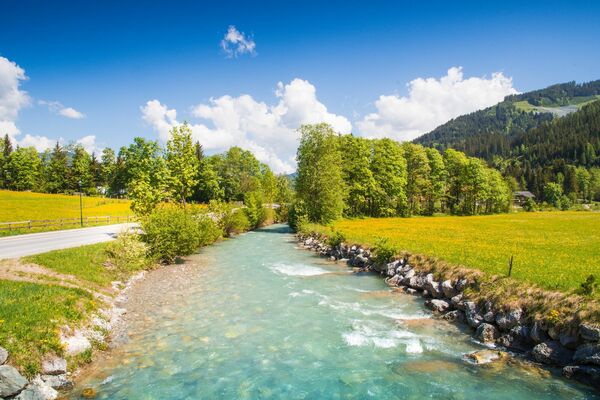
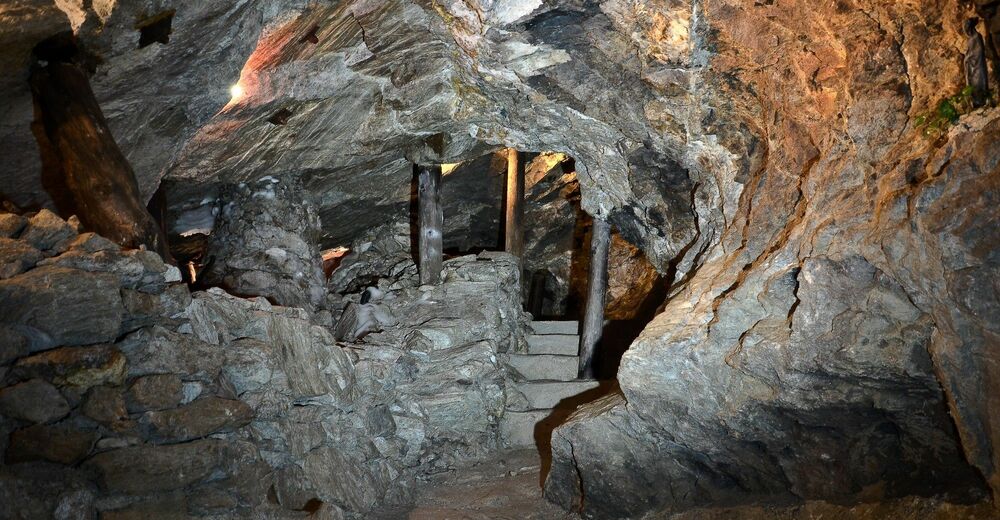
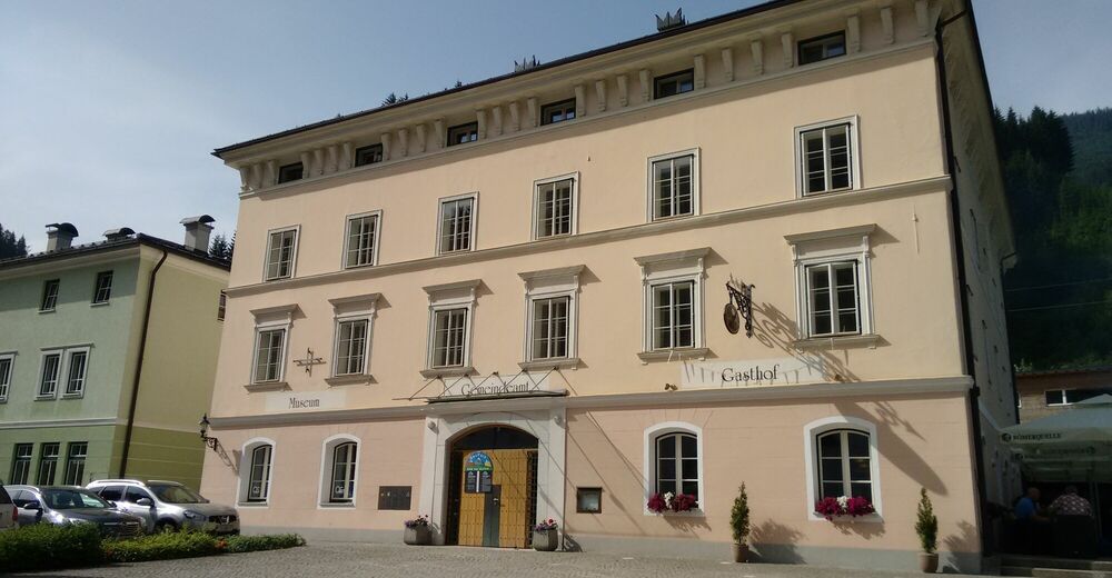
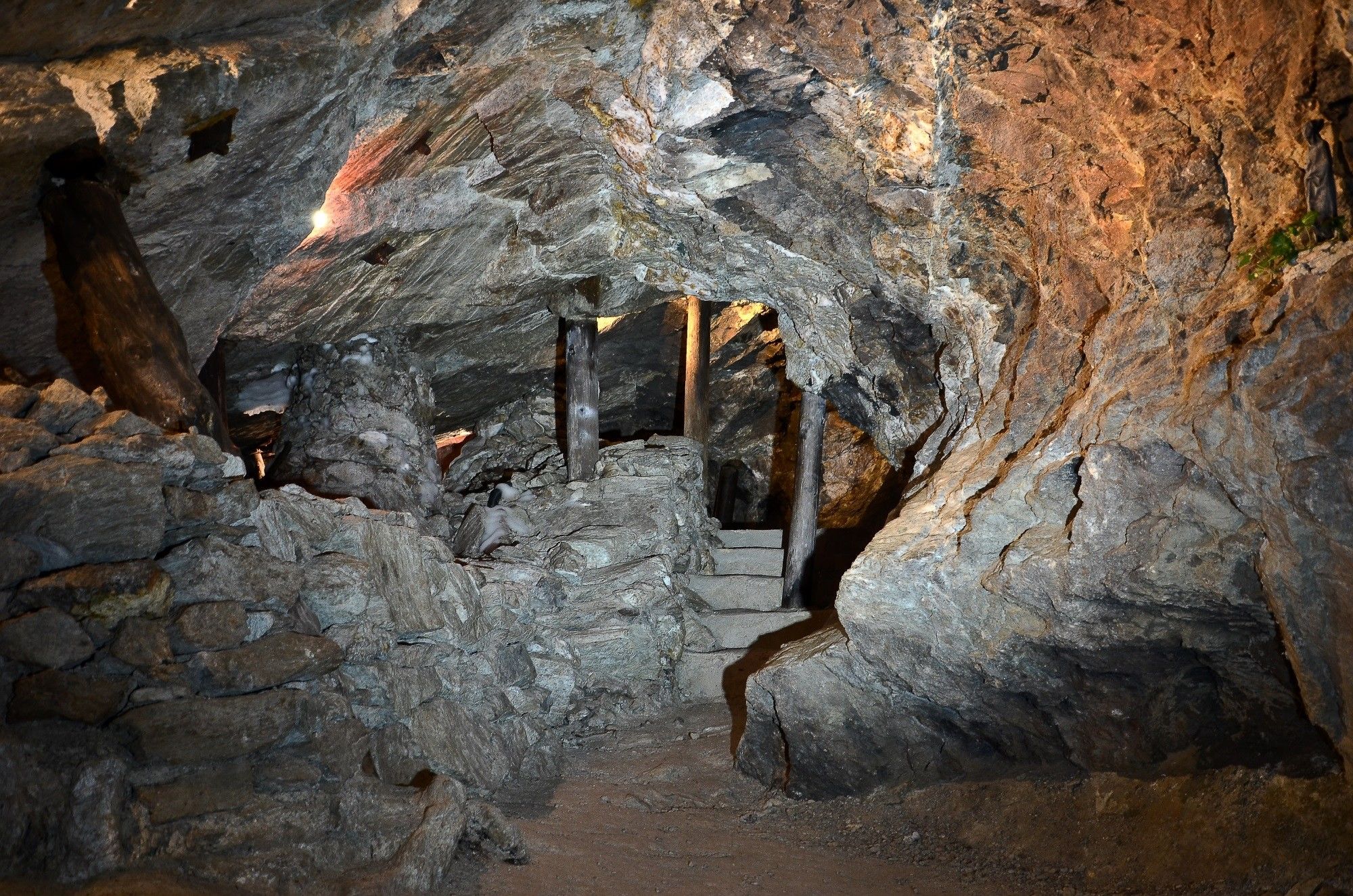
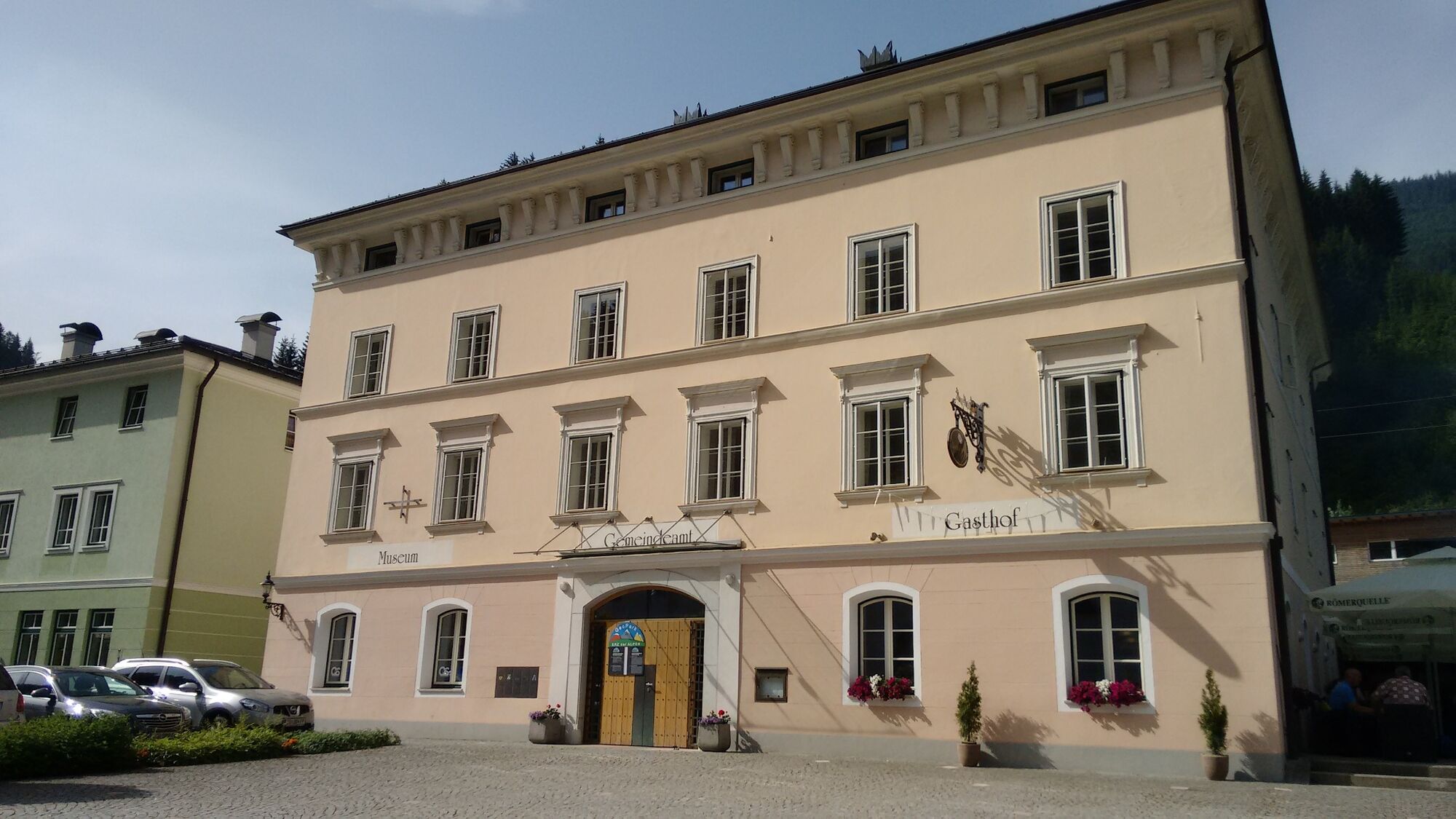
Die letzte, fünfte Etappe führt uns hinab vom Hochgründegg nach Hüttau und zum dortigen Museum und Schaubergwerk.
- Difficulty
-
medium
- Rating
-
- Starting point
-
Hochgründegg
- Route
-
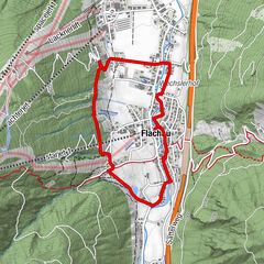
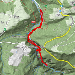
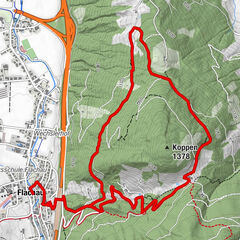
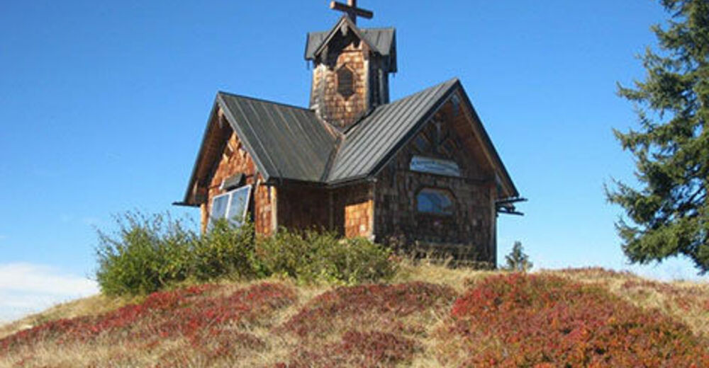
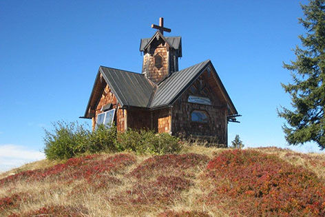
Heinrich-Kiener-Haus0.0 kmSt. Vinzenz Friedenskirche0.1 kmHochgründeck (1,827 m)0.6 kmIglsbach4.6 kmGasthaus Klammalm4.8 kmKlammalm4.8 kmPostwirt "Darijo"11.7 kmFritztalstube11.7 kmHüttau11.9 km
- Best season
-
JanFebMarAprMayJunJulAugSepOctNovDec
- Highest point
- Hüttau - Kupferzeche Larzenbach (1,803 m)
- Endpoint
-
Hüttau - Kupferzeche Larzenbach
GPS Downloads


Trail conditions
Asphalt
(40%)
Gravel
(20%)
Meadow
(30%)
Forest
(10%)
Rock
Exposed
Other tours in the regions
-
Salzburger Sportwelt
2192
-
Hüttau
473