

- Brief description
-
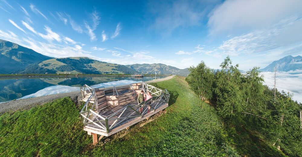
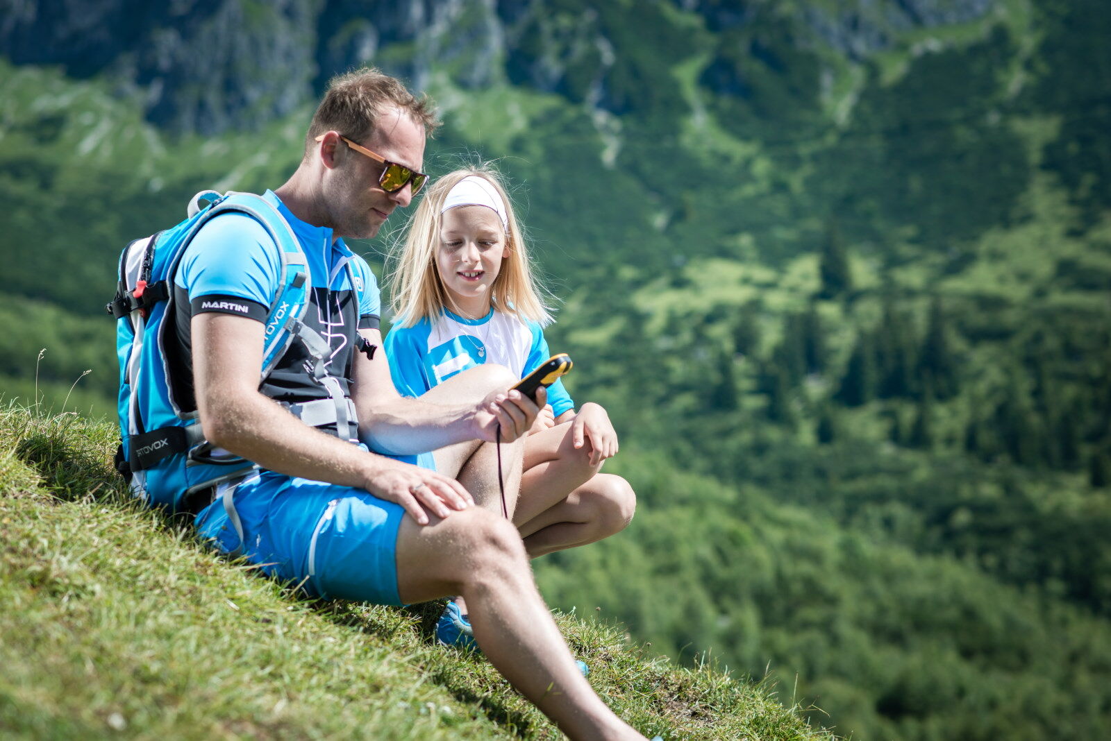
The first GeoTour in Austria! Collect all 35 symbols and crack the Highking Code!
- Difficulty
-
difficult
- Rating
-
- Starting point
-
Mühlbach am Hochkönig
- Route
-
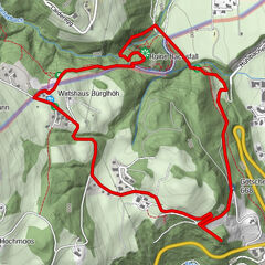
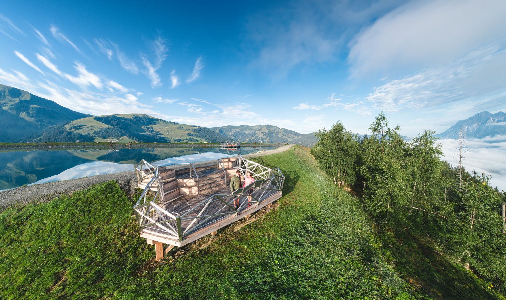
Mühlbach am HochkönigPfarrkirche zum hl. SebastianMesnerhaus, Café, Bar & Restaurant0.0 kmAnderlwirt0.0 kmHöring0.1 kmKnie2.1 kmMitterbergsattel (1,515 m)7.4 kmArthurhaus7.6 kmWindrauchegg Alm9.2 kmRiedingalm9.8 kmAuwald10.3 kmScharten Hütte11.4 kmMolteraualm11.5 kmWiddersbergalmen11.5 kmWiddersberg11.7 kmBrandstatthütte11.7 kmMittereggalm19.4 kmPichl Alm20.1 kmKath. Pfarrkirche hl. Dreifaltigkeit24.0 kmHinterthal24.0 kmHochmais24.8 kmBirnbach25.4 kmWetterherrenkapelle28.1 kmJufenalm28.2 kmSchlosspielplatz30.0 kmGrammlergut30.1 kmNatrunbahn 10er Kabinenbahn30.9 kmWallfahrtskirche Maria Alm33.0 kmMaria Alm am Steinernen Meer33.3 km
- Best season
-
JanFebMarAprMayJunJulAugSepOctNovDec
- Description
-
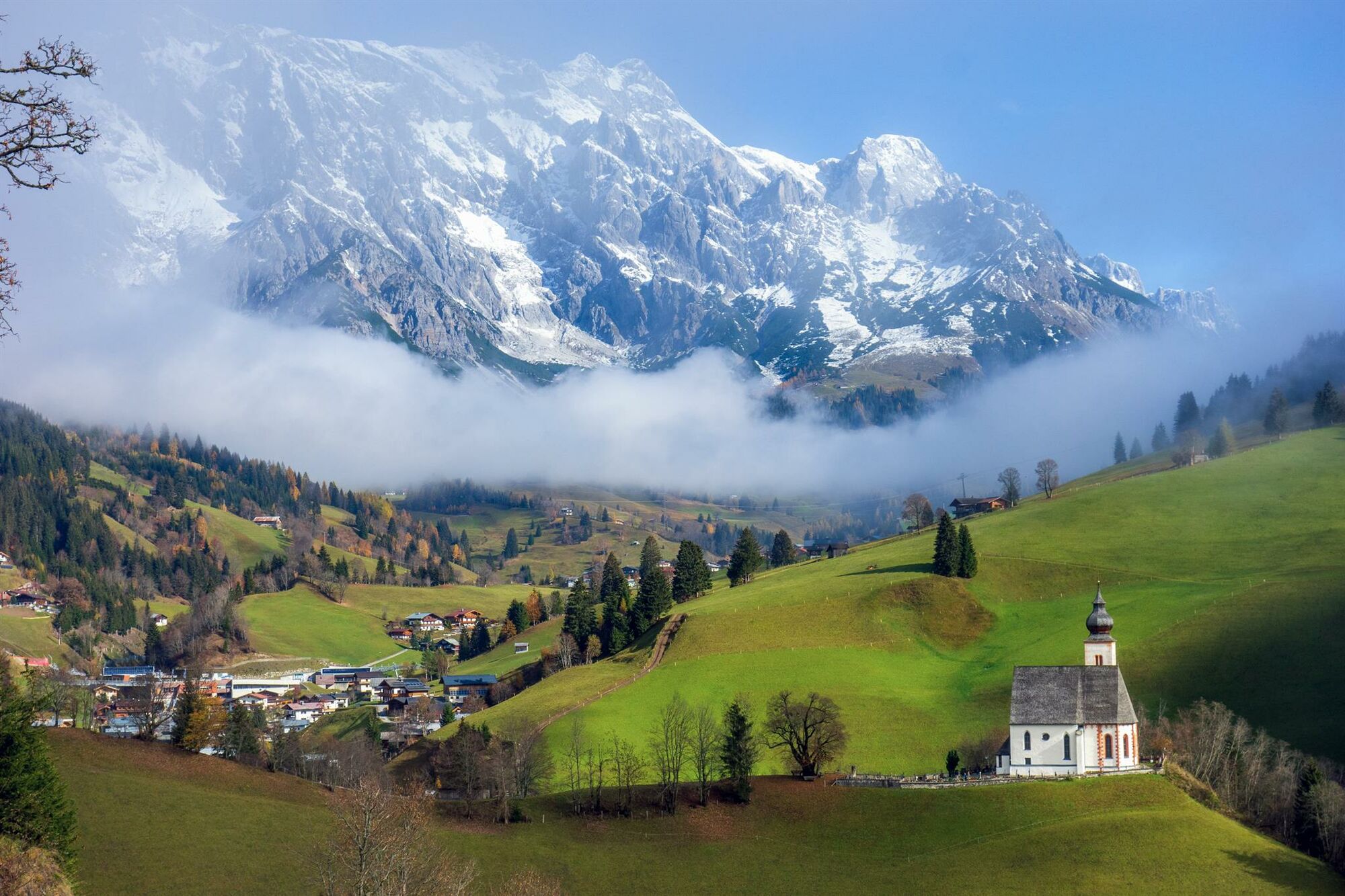
Many myths and legends surround the 2,941m high Hochkönig and its surrounding villages.
Solve the riddle around the mystical mountain and get your personal trackable geocoin at one of the three Hochkönig crowns
in Maria Alm (N 47° 24.310 W 012° 53.974), Dienten (N 47° 23.143 E 013° 00.764) or Mühlbach (N 47° 22.595 E 013° 07.564). - Directions
-
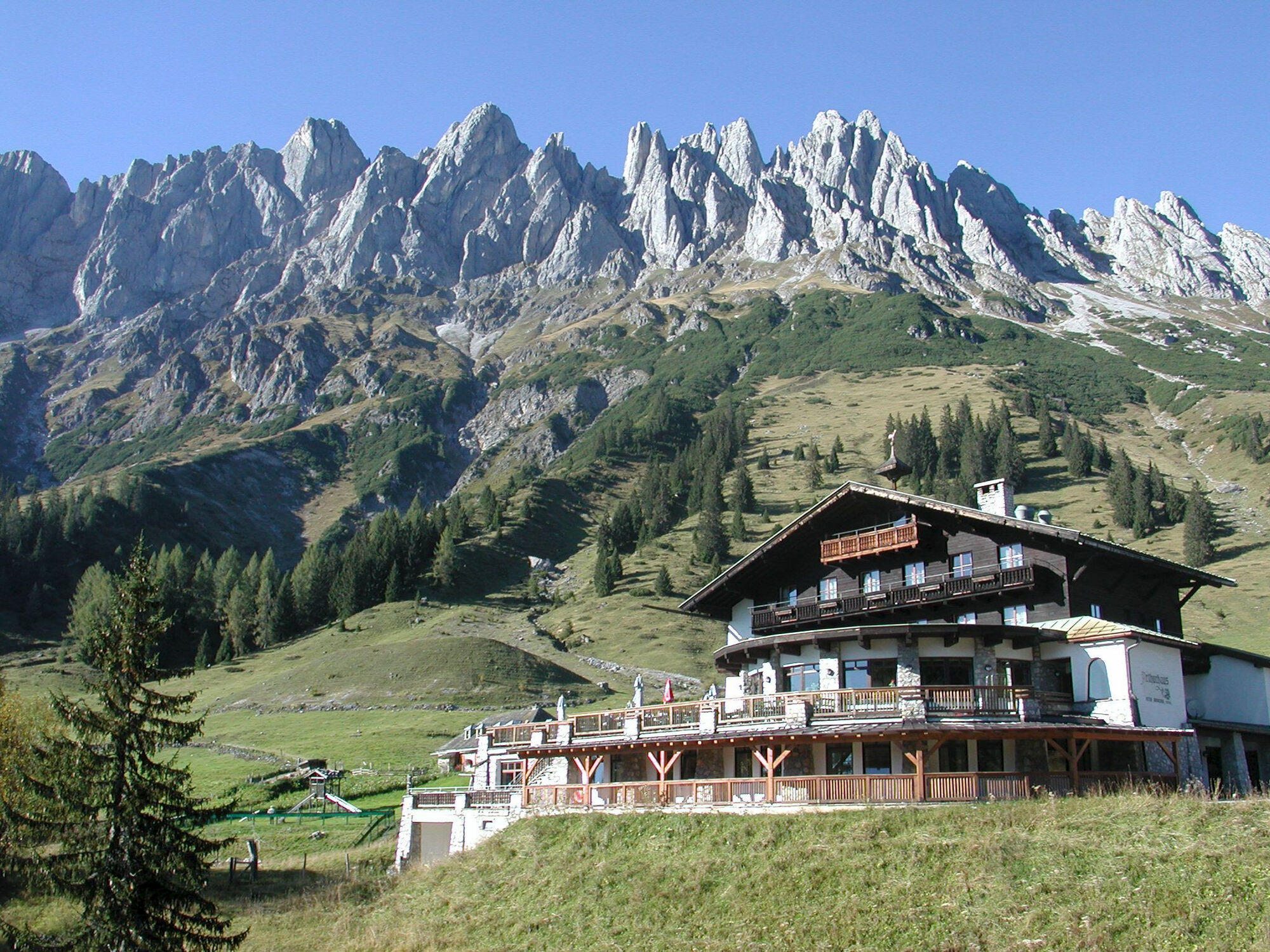
The start of this geotour is in the centre of Mühlbach am Hochkönig. Here the cachers crack the first codes. The route continues along the Erzweg (No. 85) to the Arthurhaus, where a special feature awaits all treasure hunters - a night cache. The best way to find it is with a torch.
The tour now always leads along the Hochkönig on trail no. 436, 401A into the picturesque Riedingtal valley with its impressive waterfalls. After a short ascent to the Four Huts, it is again a leisurely uphill and downhill walk to the Erichhütte.
After a stop at the hut, we follow the path to the Pichlalm, well fortified. Now we hike steadily downhill to the centre of Hinterthal. At the beginning of the village, we have to cross the road to reach the large car park at the Hochmaisbahn cable car. From there, an idyllic path leads downhill along the Urslau before the main road has to be crossed again and the last ascent of this geotour is completed.
At Natrun, Maria Alm's local mountain, we enjoy the magnificent view of the surrounding mountains and crack the last codes we need to solve the puzzle.
Arriving in the centre of Maria Alm and with the solution in hand, we head for the Hochkönigkrone to pick up our personal geocoin.
You don't have to pay attention to the decimal places in the result - with the first four numbers you can open the treasure chest.
The Geocoin can be picked up at one of the three Hochkönigkronen:
Maria Alm (N 47° 24.310 W 012° 53.974) Dienten (N 47° 23.143 E 013° 00.764) Mühlbach (N 47° 22.595 E 013° 07.564) - Highest point
- 1,592 m
- Endpoint
-
Maria Alm am Steinernen Meer
- Height profile
-

- Equipment
-
Sturdy, ankle-high footwear Hiking poles Headgear Sun protection Sunglasses Rain protection Drinks and a snack Necessary medication First aid kit Hiking map
Also: GPS device or mobile phone app for geocaching and geocaching utensils. For one of the caches you need a torch!
- Safety instructions
-
Self-assessment Check your physical fitness before every mountain tour and correctly assess your strength as well as that of your companions - especially those of your children! Surefootedness and a head for heights are often very important!
Planning and preparation Plan each intended mountain tour in detail beforehand. Hiking maps and guides as well as information from alpine associations and local experts such as mountain guides and mountain hut keepers can be helpful.
Equipment On the mountain, you will need appropriate equipment and clothing, especially sturdy, high shoes with good grip soles. Weather and cold protection are essential, as the weather can often change unexpectedly.
Weather forecasts Take note of the current weather conditions at: www.zamg.at
Together Follow the 10 rules for the correct handling of grazing animals and do not leave any waste in nature!
Do not kick stones Do not kick stones as this can seriously endanger other hikers. Marked places with a danger of falling rocks should be crossed as quickly as possible and with attention and caution.
Turn back in good time This is not a disgrace, but a sign of common sense. It becomes necessary when the weather changes, fog rolls in, and also when the path is too difficult or not in good condition.Emergency numbers: Alpine emergency call: 140
International emergency call: 122 - Tips
-
The decimal places in the result do not have to be taken into account - you can open the treasure chest with the first four numbers.
- Additional information


- Author
-
The tour Geotour "Highking Code" is used by outdooractive.com provided.


General info
-
Hochkönig
2042
-
Dienten am Hochkönig
536