- Brief description
-
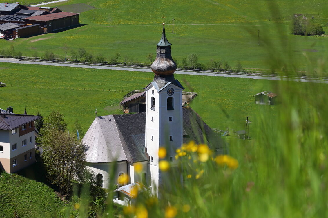
You hike from chapel to chapel from Grossarl to Hüttschlag and further to the valleyend - this is a little different hike.
- Difficulty
-
medium
- Rating
-
- Starting point
-
Grossarl
- Route
-
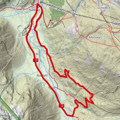
Pfarrkirche GroßarlGroßarl0.3 kmNiederaigen2.4 kmBichlkapelle3.7 kmFiglerkapelle4.8 kmRussegger6.4 kmGriesbichlkapelle6.6 kmNeuhofkapelle8.7 kmKaminstadl9.4 kmSchappachkapelle9.6 kmHotel Almrösl9.8 kmHüttenwirt9.9 kmHüttschlag9.9 kmPfarrkirche Hüttschlag10.1 kmSchrambach11.2 kmWolfau11.6 kmWolfaukapelle11.8 kmKarteiskapelle12.7 kmKarteis13.0 kmMaurach14.2 kmMaurachkapelle14.3 kmAschlreit15.0 kmKree15.4 kmHubertuskapelle16.4 kmTalwirt16.5 kmPertillkapelle17.1 kmBauernladenstüberl17.3 km
- Best season
-
JanFebMarAprMayJunJulAugSepOctNovDec
- Description
-
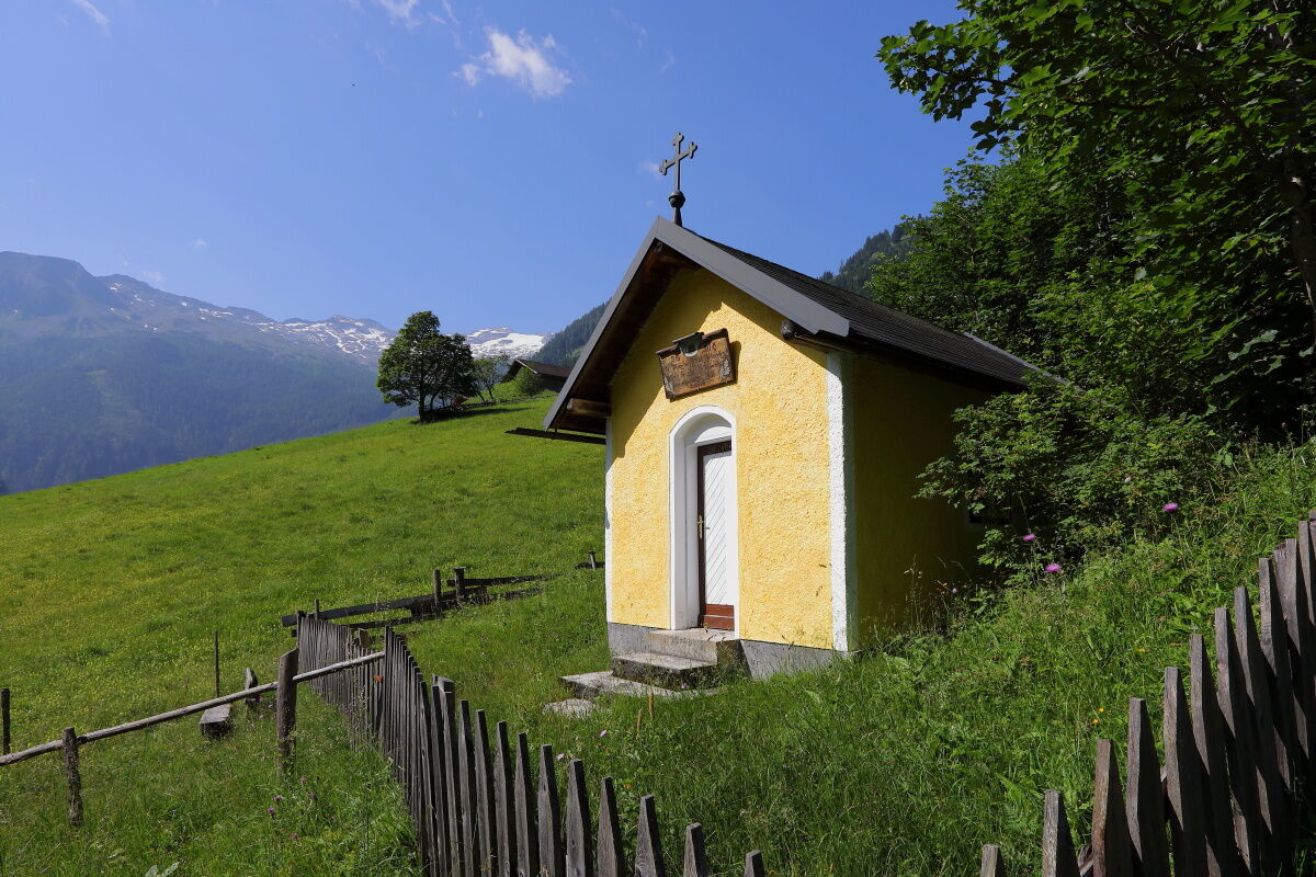
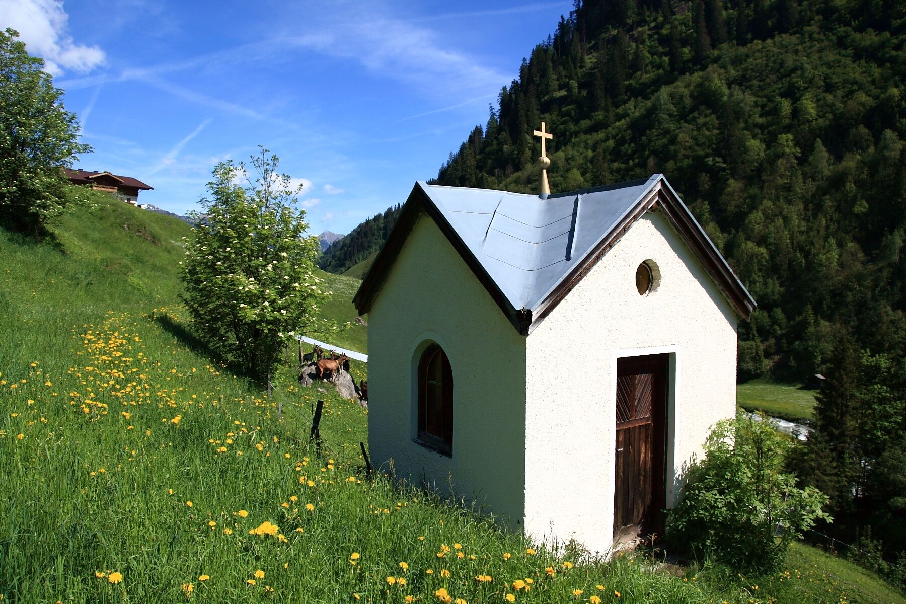
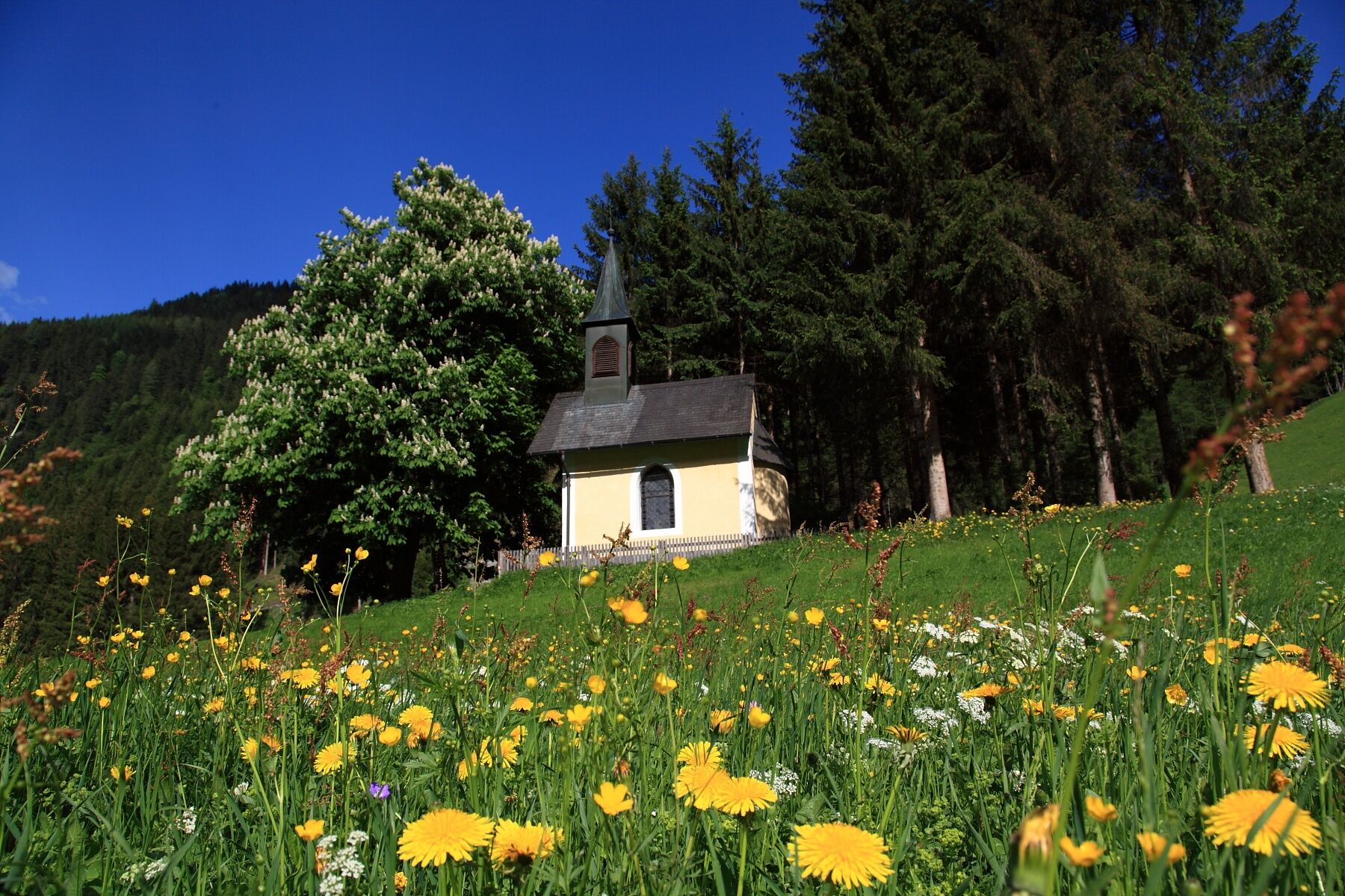
Hiking along the Chapel Path is not only a matter of hiking but also of relaxation for the mind and soul, as each of the chapels has one of the ten commandments reworded into a good wish, which should accompany each of us on our (path of) life)
For each chapel there is a short text and a good wish. The text should stimulate reflection in the chapel, the desire should be taken on the (path of) life. Thus, one actually goes two ways along the Chapel Path: The path "of reflection," which was designed by our former pastor Mag. Thomas Schwarzenberger, and the "Path of the 10 good wishes," which was designed by Helga Zraunig.
The last chapel was built as a thank you for a happy return from World War II.
Unfortunately, the wishes and the guide is in German.
- Directions
-
The starting point for the Chapel Path is the church in Grossarl. You hike towards Hüttschlag, where you pass the Laireiting Chapel, the Bichl Chapel, the Figler Chapel, the Griesbichl Chapel, the Neuhof Chapel and the Schappach Chapel. Then you reach the church in Hüttschlag. You follow the Chapel Path towards the valleyend and you pass the Wolfau Chapel, the Karteis Chapel, the Maurach Chapel and the Hubertus Chapel. The last one is the Pertill Chapel.
This path leads through meadows and forests, sometimes along the street. You follow the sign of the Chapel Path (not the yellow signs).
This path is approx. 16.5 km long.
- Highest point
- 1,069 m
- Endpoint
-
Hüttschlag - Talwirt
- Height profile
-

- Equipment
-
hiking boots
- Tips
-
Take your time for each chapel.
- Additional information
- Directions
-
You go by car or public bus no. 540 to Grossarl.
- Public transportation
- Parking
-
parking at the gas station or in the south of Grossarl


- Author
-
The tour Grossarltal: Chapel Path is used by outdooractive.com provided.