
- Brief description
-
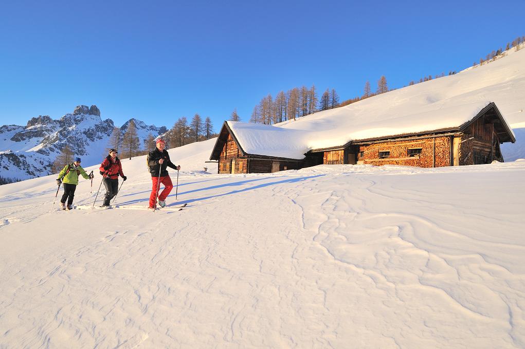
Beautiful, popular and easy ski tour for the whole winter. Not only very rewarding with powder snow but also with Firn.
- Difficulty
-
medium
- Rating
-
- Starting point
-
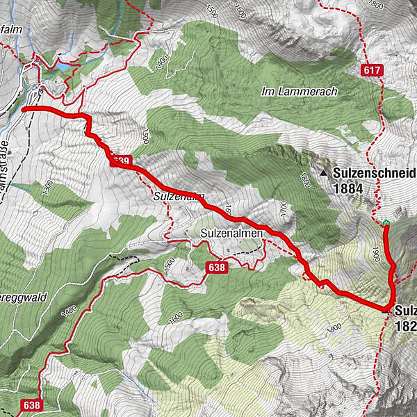
Oberhofalm
- Route
-
Sulzenalmen1.6 kmSulzenhals (1,824 m)2.8 km
- Best season
-
AugSepOctNovDecJanFebMarAprMayJunJul
- Description
-
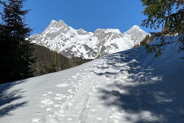
From the parking lot of the Oberhofalm (toll road) towards the east over a pointed, free terrain the right, moderately steep back up to the Sulzenalmen. These cross the flat ground to the top hut (Wallehenhütte). Continue through the larch forest up to the Sulzenhals, the saddle between Rettenstein and Sulzenschneid. Left (north) over the flat ascending back to the summit cross. For the descent, it is worth to head west from the summit in one of the steeper valleys. The remaining descent is via the ascent trail.
- Directions
-
From the parking lot of the Oberhofalm (toll road) towards the east over a pointed, free terrain the right, moderately steep back up to the Sulzenalmen. These cross the flat ground to the top hut (Wallehenhütte). Continue through the larch forest up to the Sulzenhals, the saddle between Rettenstein and Sulzenschneid. Left (north) over the flat ascending back to the summit cross. For the descent, it is worth to head west from the summit in one of the steeper valleys. The remaining descent is via the ascent trail.
- Highest point
- 1,966 m
- Endpoint
-
Oberhofalm
- Exposition
- Height profile
-

- Equipment
-
Going on a tour without proper preparation and equipment is reckless. Not only your own life is risked carelessly, but also that of the mountain mates, who are traveling in the same region. Must be on the tour: avalanche transceiver, mobile phone, shovel, avalanche probe, first aid kit, sufficient food and drinks, possibly. additional clothing to change. On the day of the tour: read the avalanche situation report and the weather report and see what impact he has on the planned tour - possibly adjust or cancel the tour. Are all participants conditionally and physically able to go on the tour? If not, adjust or cancel the tour.
.
- Safety instructions
-
Read avalanche report! All information has been collected with the utmost care. The use takes place exclusively on own risk and on own danger, thus on own responsibility. A liability for any accidents or damages of any kind are therefore not. Weather conditions and snow conditions may require changes in the course of the route.
- Directions
-
Via the A10 Tauern autobahn - exit Eben im Pongau - continue on the Filzmooser Landesstrasse to the roundabout - follow the road towards the Hofalm toll booth car park.
- Parking
-
Parking in front of the Hofalm toll booth (chargeable).
- Author
-
The tour Backcountry Skitour Sulzenschneid is used by outdooractive.com provided.


General info
-
Schladming - Dachstein
250
-
Ramsau am Dachstein
130
-
Filzmoos
54

")