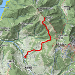
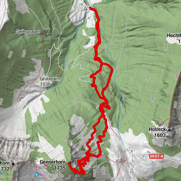
Tour data
7.79km
818
- 1,717m
860hm
880hm
03:00h
- Brief description
-
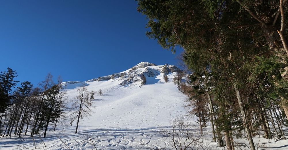
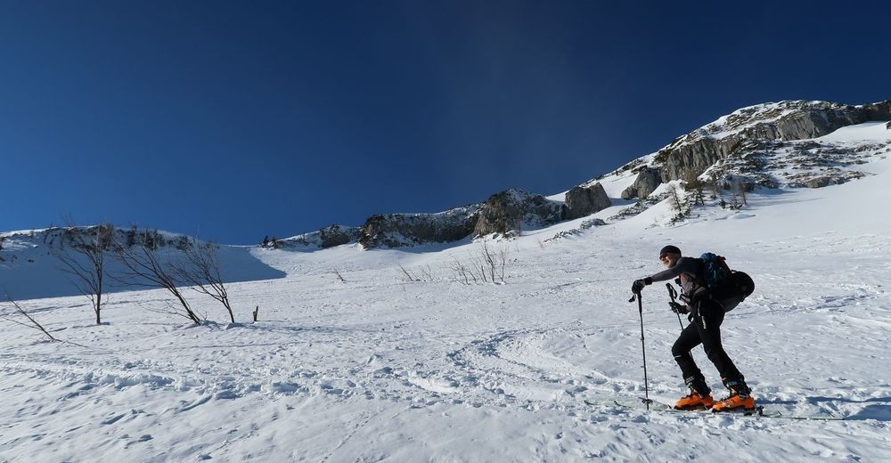
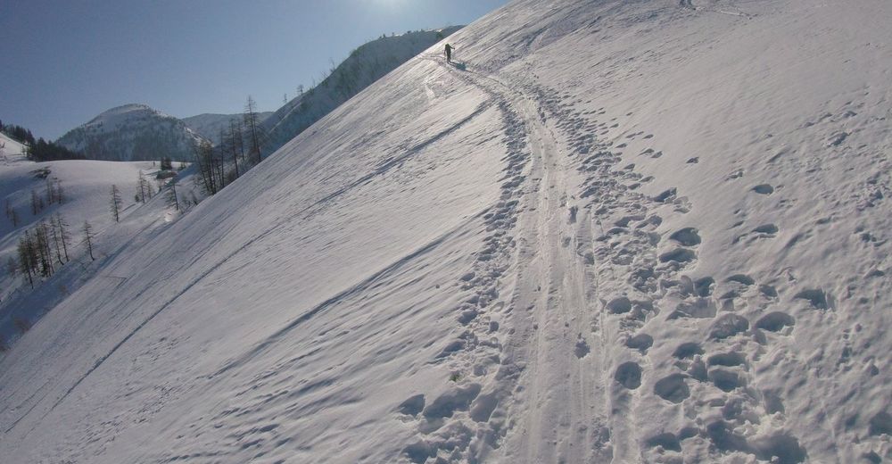
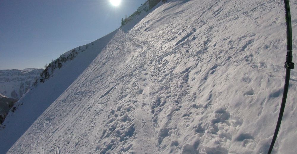
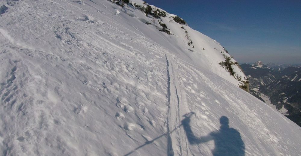
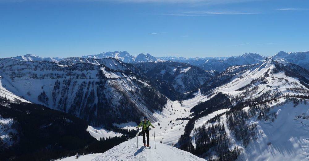
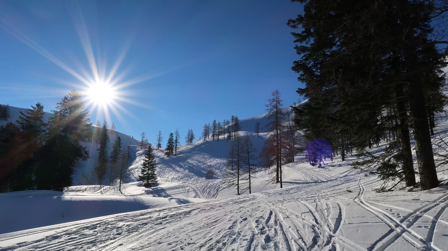
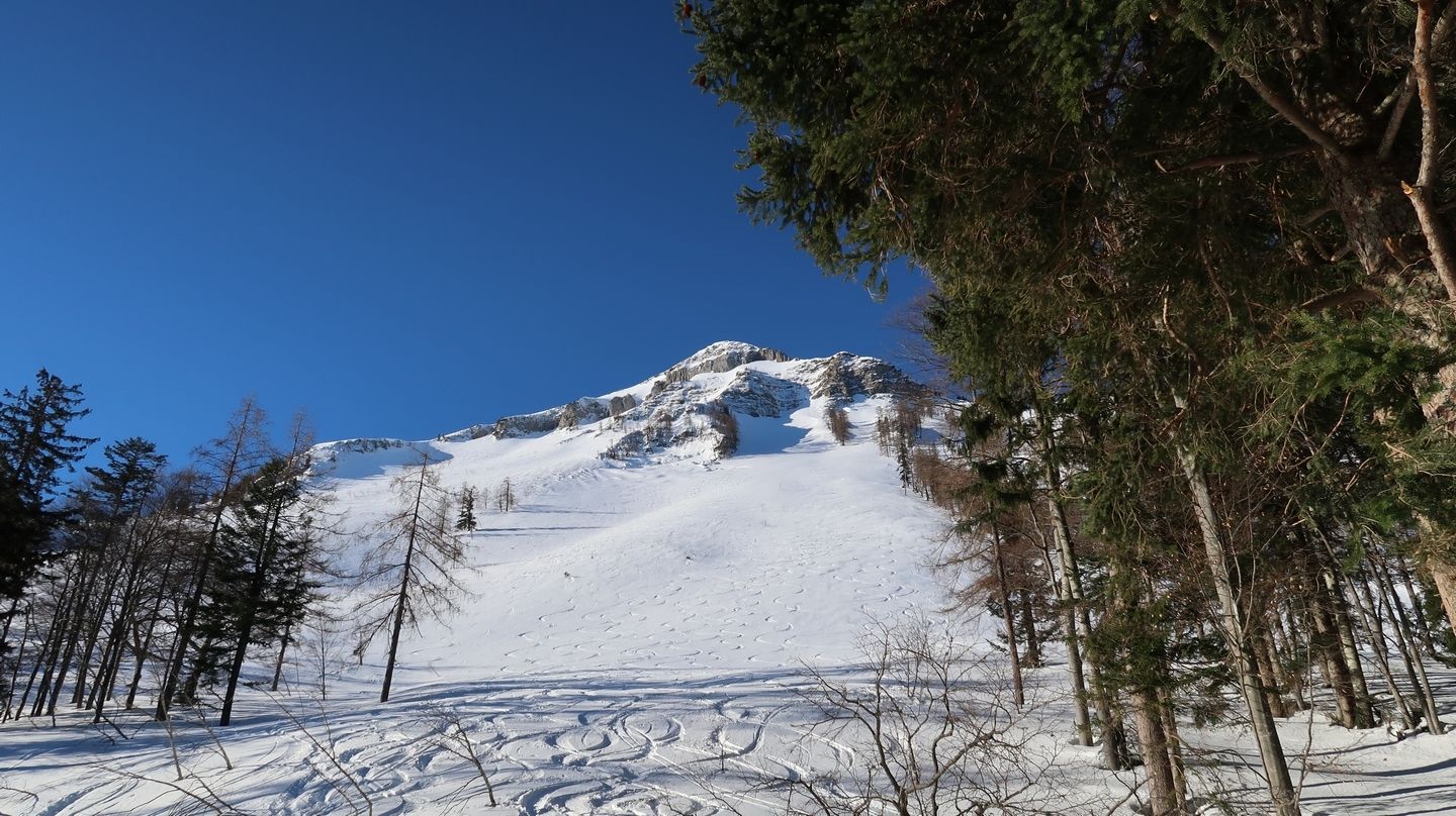
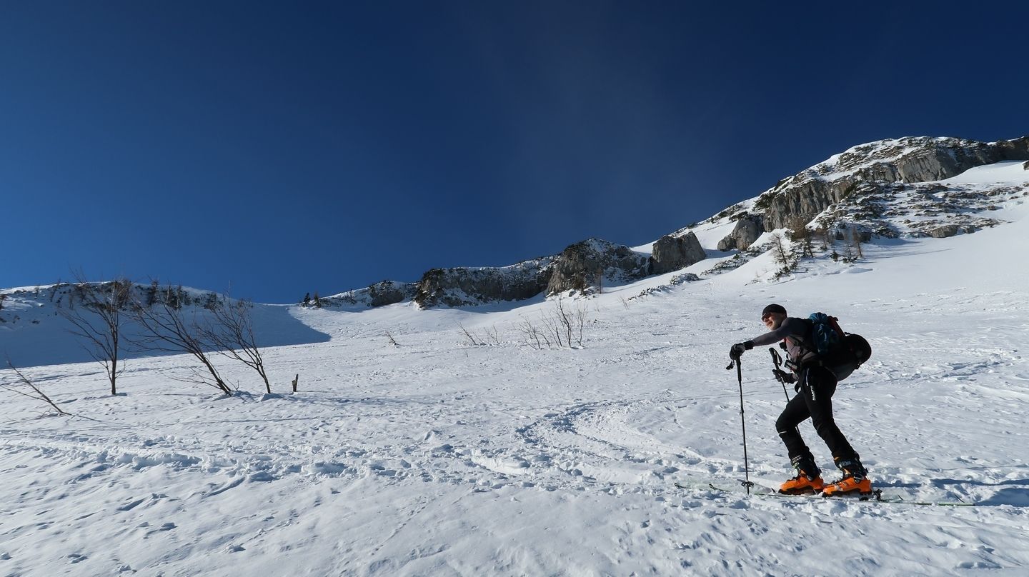
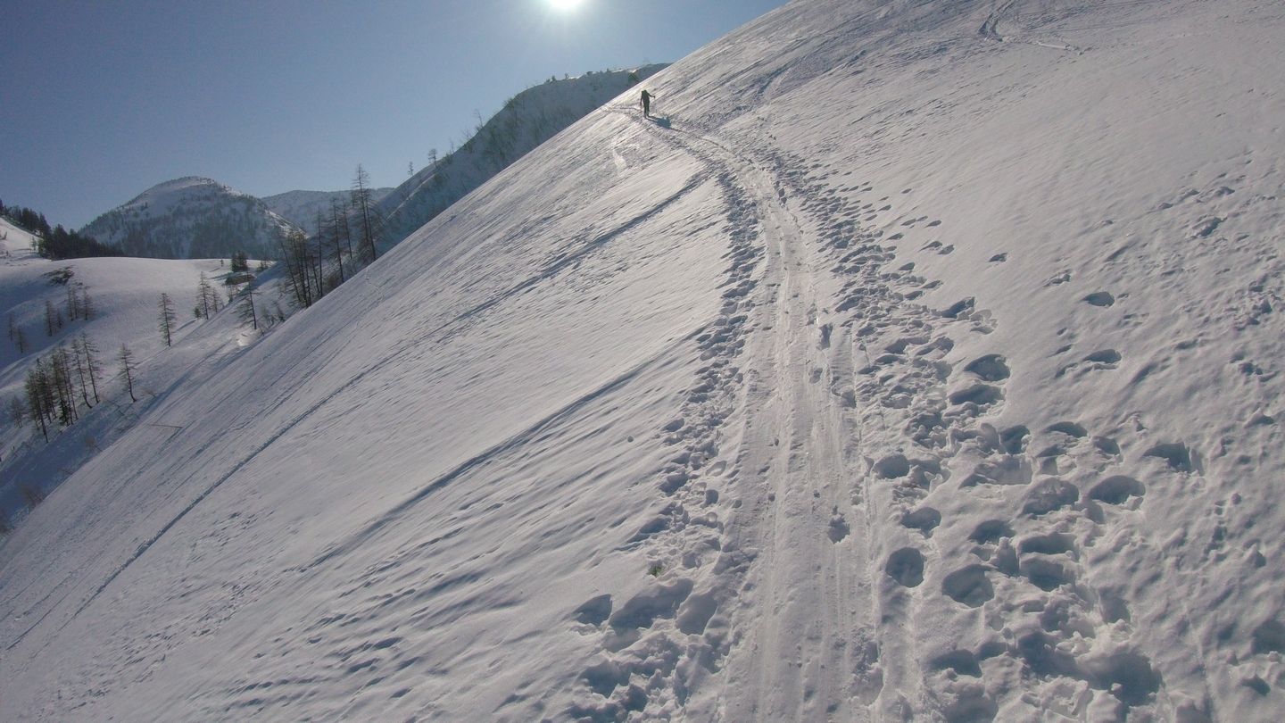
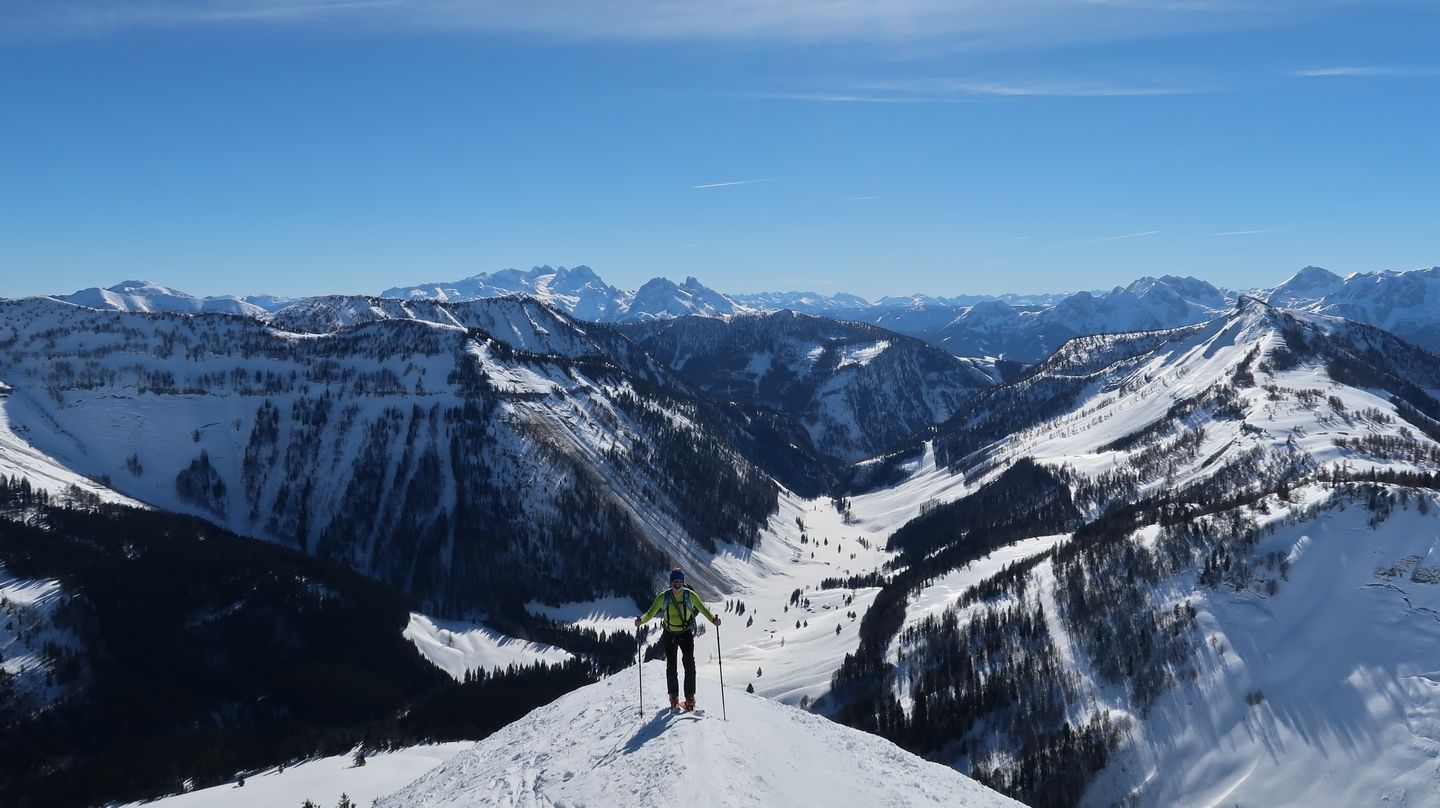
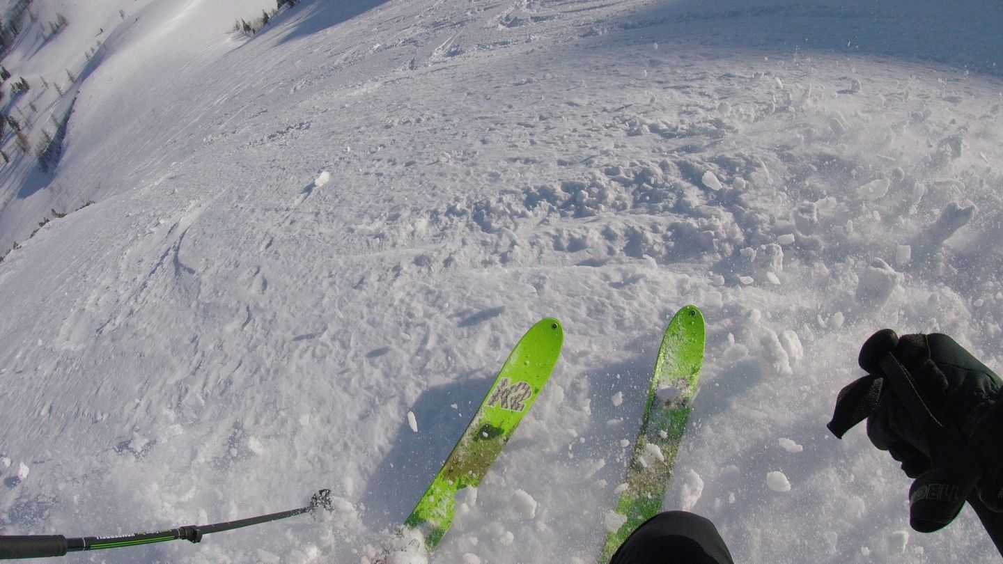
Schöne Schitour mit steiler Querung am Ende der Aufstiegsrinne und tollem Panorama.
- Difficulty
-
medium
- Rating
-
- Starting point
-
Parkplatz Lämmerbach
- Route
-
Lämmerbach (801 m)Gennerhorn (1,734 m)4.3 kmLämmerbach (801 m)7.7 km
- Best season
-
AugSepOctNovDecJanFebMarAprMayJunJul
- Highest point
- Gennerhorn (1,717 m)
- Endpoint
-
Gennerhorn
- Exposition
- Rest/Retreat
-
Hintersee


- Source
- Walter Pehn
GPS Downloads


Other tours in the regions