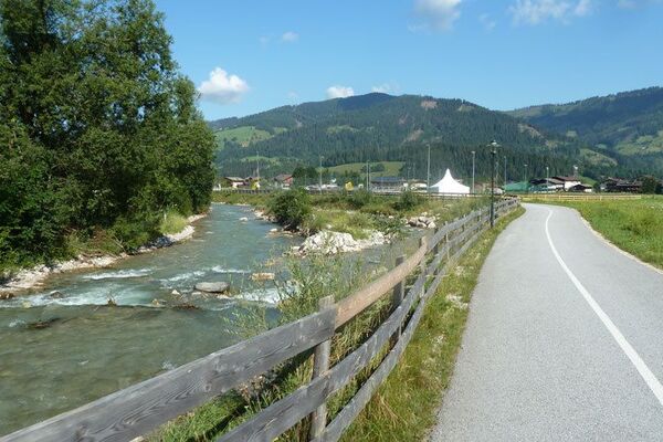
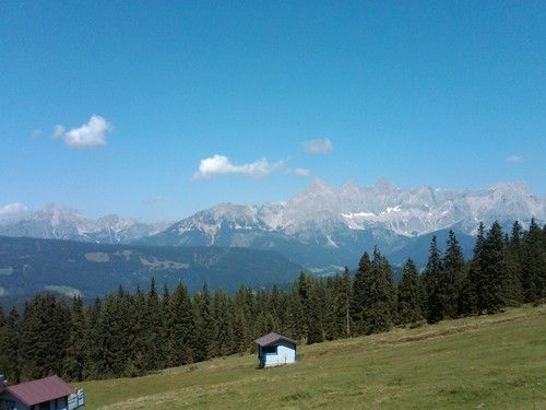
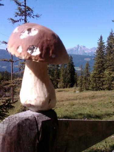
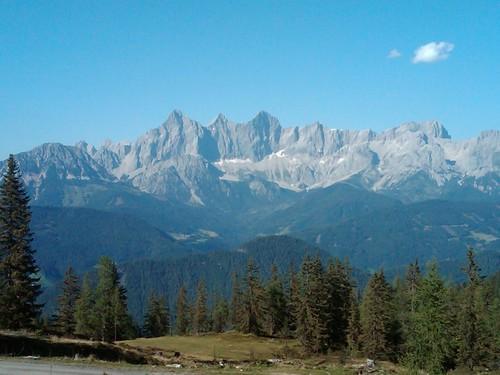
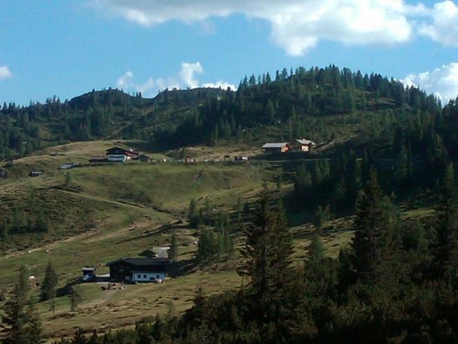
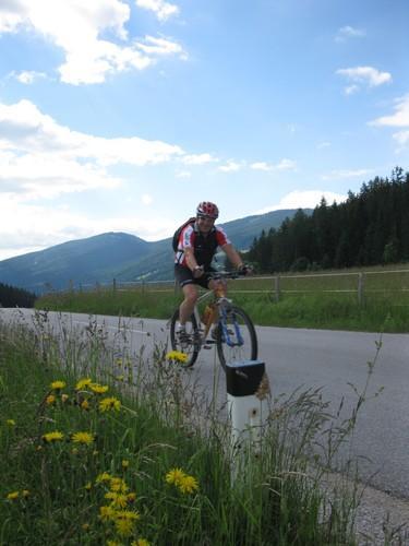
© Pongau-Almenweg

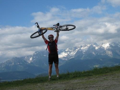
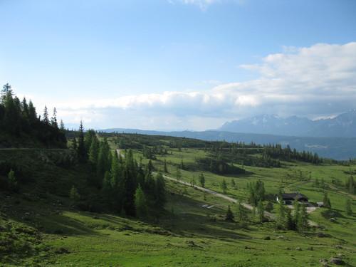
© Pongau-Almenweg

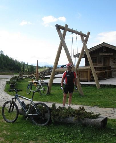
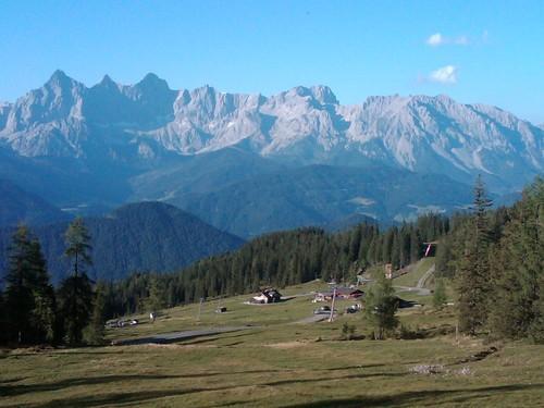
© Pongau-Almenweg

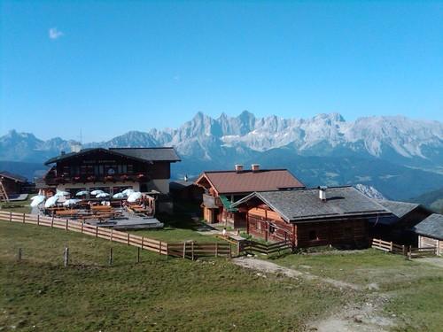
© Pongau-Almenweg

© Pongau-Almenweg

© Pongau-Almenweg

© Pongau-Almenweg

© Pongau-Almenweg
Tour data
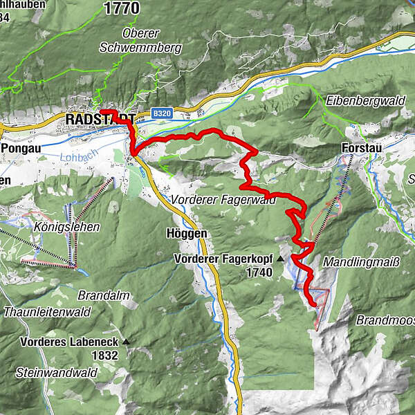
12.77km
830
- 1,750m
949hm
51hm
01:30h
- Rating
-
- Route
-
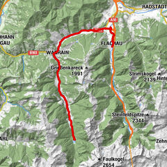
Radstadt (858 m)Unterbergalm10.4 kmLechneralm10.7 kmPremhütte10.8 km
- Highest point
- 1,750 m
- Height profile
-


- Author
-
Pongau-AlmenwegThe tour Radstadt - Trinkeralm is used by outdooractive.com provided.
GPS Downloads


Other tours in the regions
-
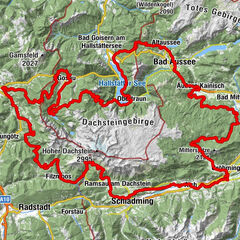
Schladming - Dachstein
205
-
Obertauern
174
-
Fageralm / Forstau
127