
- Brief description
-
A real Pinzgau classic for fit bikers!
- Difficulty
-
difficult
- Rating
-
- Starting point
-
Tourist office Maria Alm
- Route
-
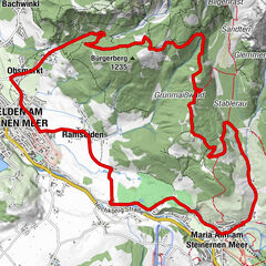
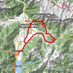
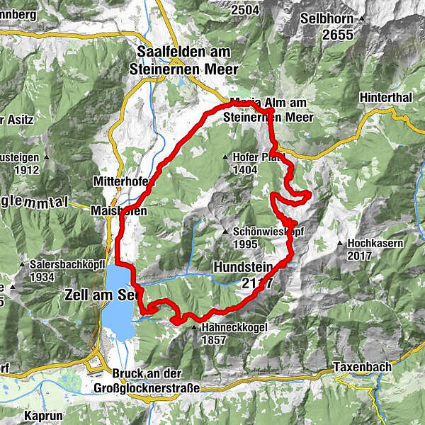
Wallfahrtskirche Maria Alm0.2 kmRaum der Stille0.2 kmMaria Alm am Steinernen Meer0.3 kmAberg3.3 kmAbergalm6.0 kmKröllalm7.1 kmAbergalm8.4 kmLangegg (1,899 m)13.6 kmAbergalm13.6 kmBergstadl13.6 kmHundstein (2,117 m)16.7 kmStatzerhaus16.7 kmMoosalmhöhe (1,843 m)20.1 kmEnzianhütte26.5 kmThumersbach31.0 kmWiesenlehen32.0 kmGasthof Wieshof32.3 kmPrielau32.7 kmPrielaukirche33.3 kmUnterreit34.0 kmBadhausfeld34.4 kmStiegerschlössl35.4 kmMaishofen35.5 kmOberhaus38.4 kmGerling39.1 kmHl. Gotthard39.2 kmGerlingerwirt39.3 kmRuhgassing40.3 kmDeuting40.8 kmHof41.7 kmAlmdorf43.2 kmAlmdorfkapelle - Ortskapelle hl. Anna43.3 kmMaria Alm am Steinernen Meer45.8 km
- Best season
-
JanFebMarAprMayJunJulAugSepOctNovDec
- Description
-
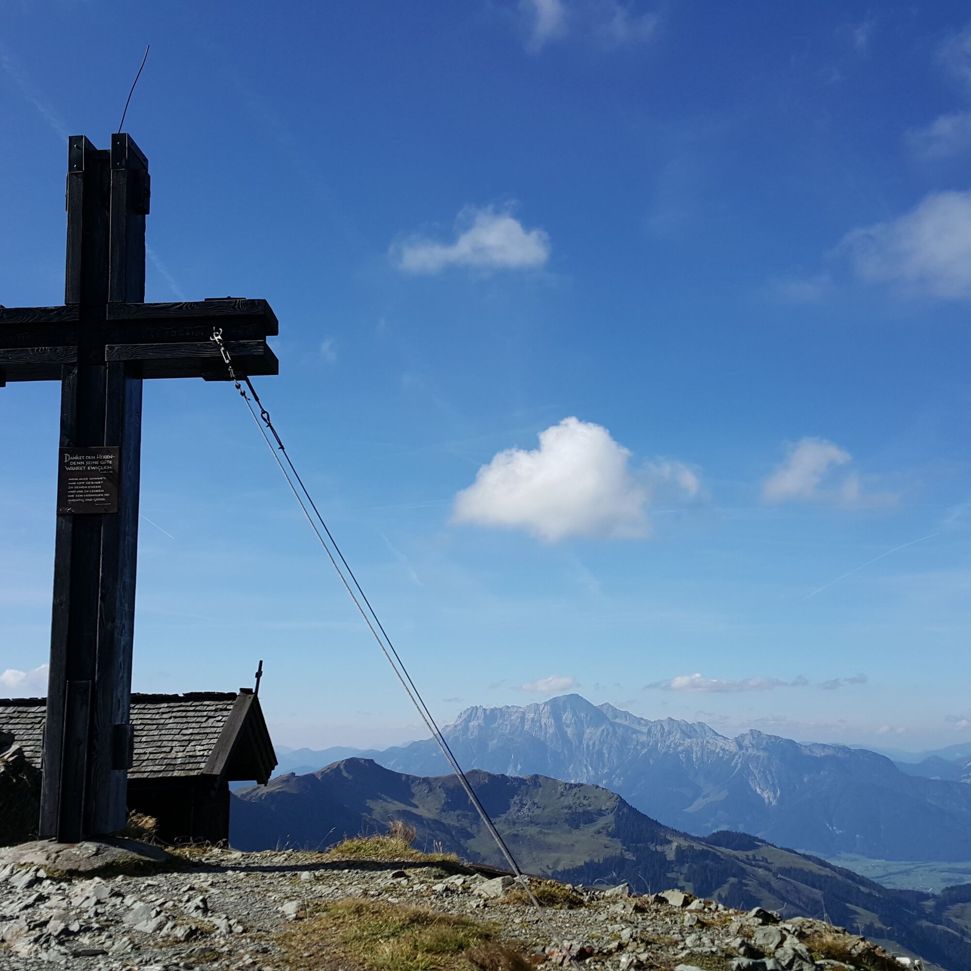
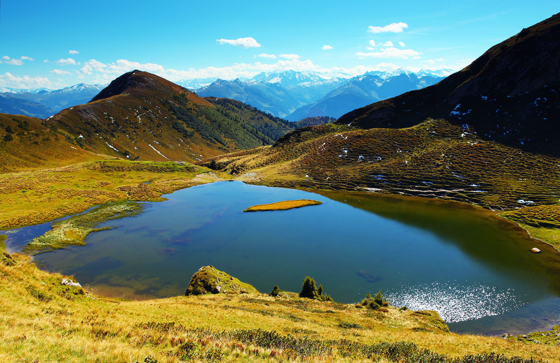
Over one of the highest grass mountains in Europe, the Hundstein (2.117m), the demanding tour leads towards Zell am See. A jump into the Zeller See and a summit victory with great views compensates for the efforts!
- Directions
-
Just follow the signs for "MA 04 Hundstein Loop."
You start at the tourist office in Maria Alm and take the road behind the church to the main road (B164). After about 50m on the federal road, turn right to cross the Urslau.
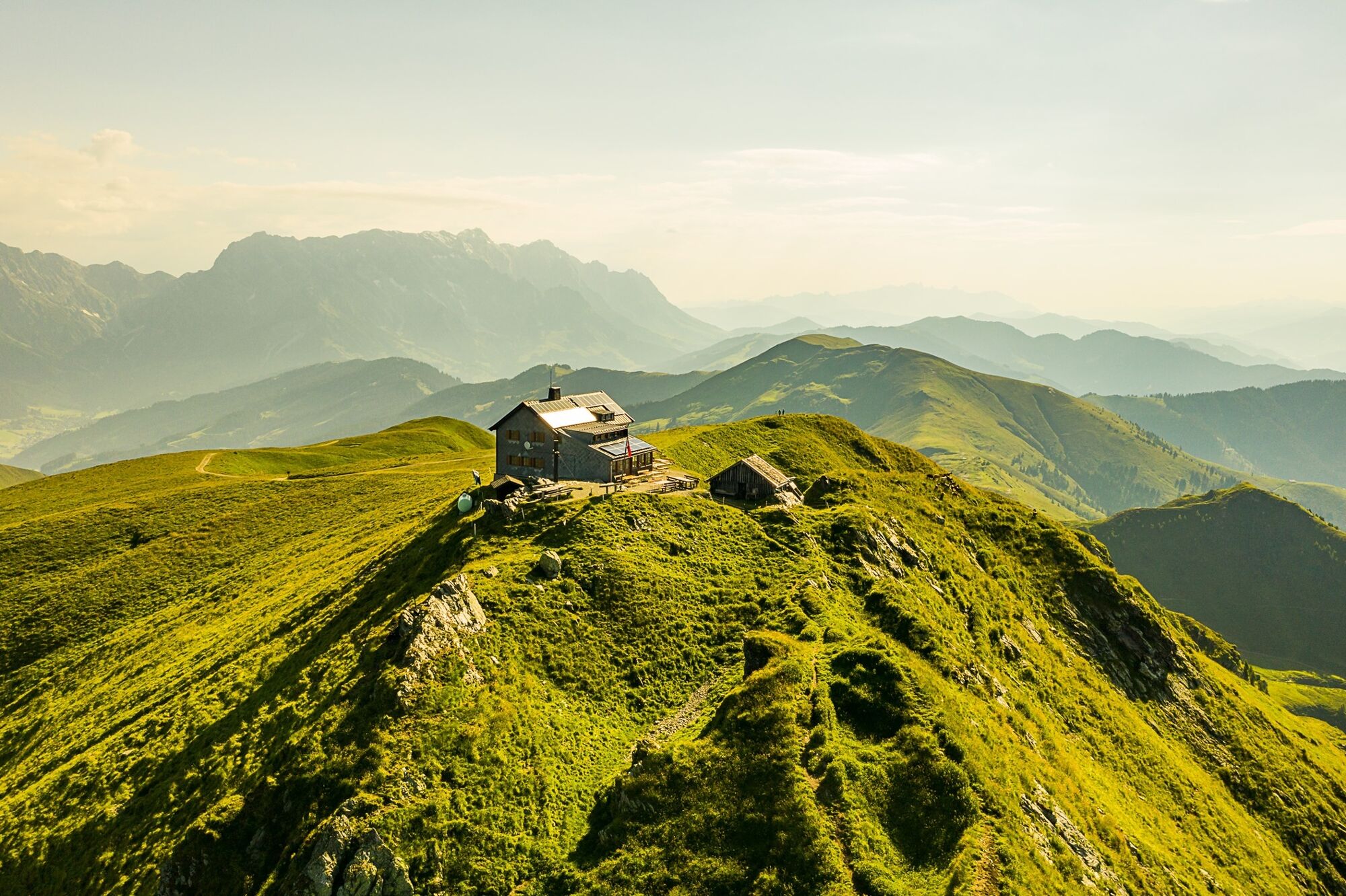
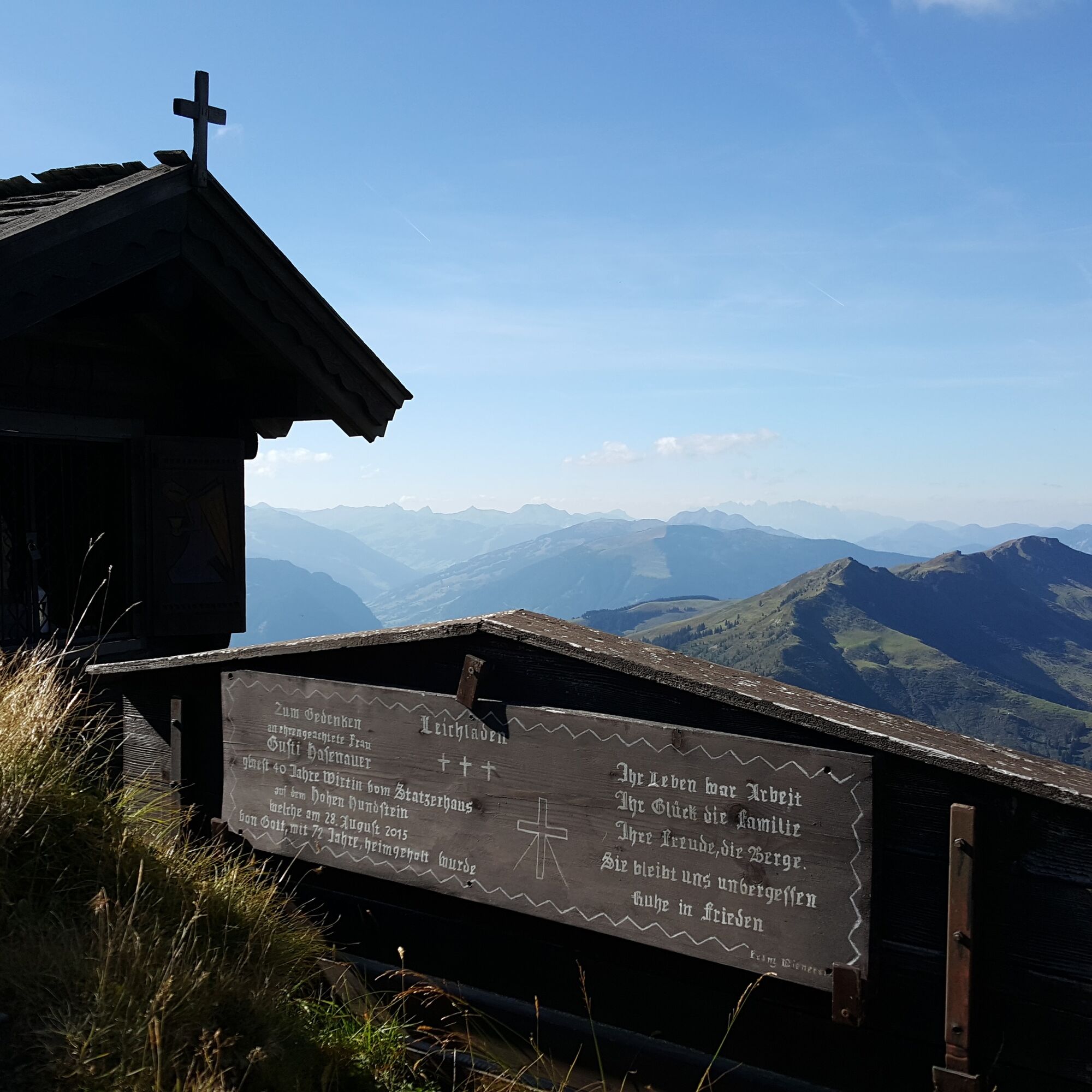
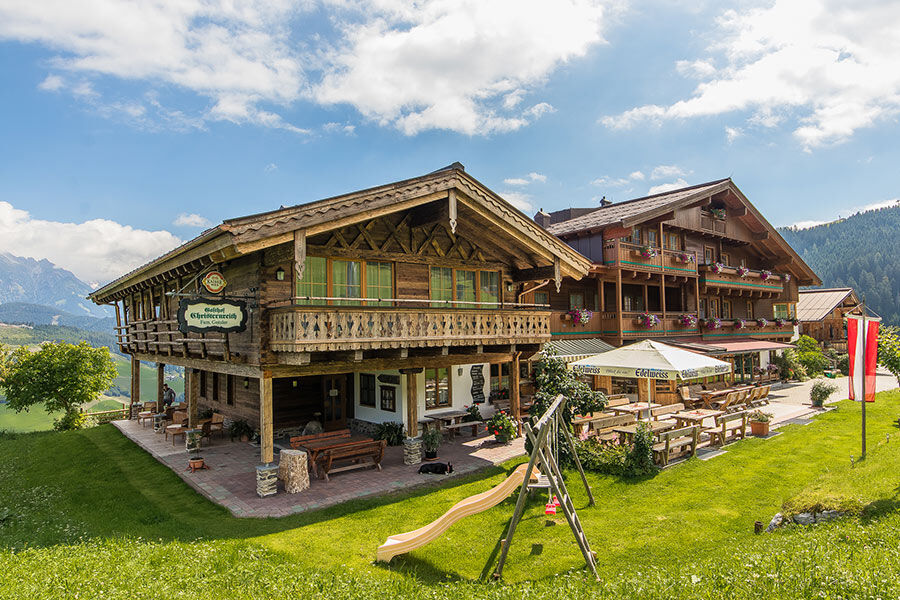
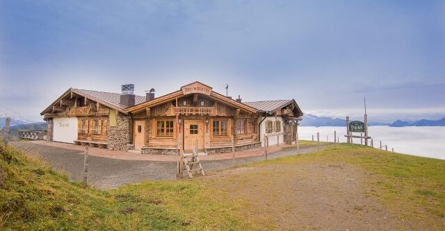
Immediately after the bridge, turn left and follow the path to the Unterberg district. There, take the path that leads you through Gasthof Christernreith, Grießbachalm (e-bike charging station), Lohning Alm, and Dirndlalm (e-bike charging station) to the highest point of the tour, the Statzerhaus (2117m).
From the summit of Hundstein, roll back approximately 200m on the same route, take the first left turn, and follow the "Rad&Bike Pinzgau" signs to Thumersbach.
Then, ride along the Tauern Cycle Path via Schloss Prielau – Maishofen – Gerling – Almdorf back to Maria Alm. Every year, the legendary uphill race "Hundstoa biag di" takes place along the route from Maria Alm to Statzerhaus.
Route: Maria Alm - Unterberg - Christernhof - Hundstein - Thumersbach - Gerling - Almdorf - Maria Alm
- Highest point
- 2,105 m
- Endpoint
-
Tourist office Maria Alm
- Height profile
-

- Equipment
-
Controlled bike equipment with helmet
Sunglasses
Sun protection
Rain protection
Drinks and a snack
Necessary medication
First aid kit
Bike map - Safety instructions
-
Fair play!
Drive only on marked paths! Close all gates, barriers and pasture gates! Observe the road traffic regulations! Overtake only at walking pace! Behave respectfully towards other nature users! and the forestry and hunting staff! Be considerate of animals! Do not leave waste in nature! Act responsibly! Check the weather forecast. Fog and bad weather can come surprisingly quickly.Emergency numbers: Alpine emergency call: 140
International emergency call: 122 - Tips
-
Enjoy the view of the surrounding mountains and Lake Zell at the Hundstein.
- Additional information
- Directions
-
Coming from Salzburg: Take the A10 motorway to the Bischofshofen exit, then take the B311 towards Bischofshofen. Follow the Hochkönig Bundesstraße/B164 to Maria Alm.
Coming from Innsbruck/ Kufstein: Take the Loferer Straße/B178 in the direction of St. Johann i.T., then follow the Hochkönig Bundesstraße/B164 via Saalfelden to Maria Alm.
A valid vignette is required to use the Austrian motorway and motorway network. It is also compulsory to carry a first-aid kit, warning triangle and high-visibility waistcoat. Further information can be found under Asfinag. - Public transportation
- Parking
-
Free parking at the beginning of the village and in the centre of Maria Alm

- Author
-
The tour MTB Tour - Hundstein Round (Tour 4) is used by outdooractive.com provided.

General info
-
Zell am See - Kaprun
309
-
Maria Alm
93