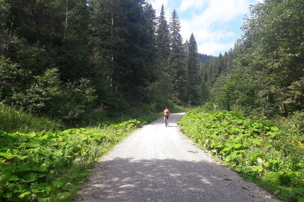
© Tourismusverband Piesendorf Niedernsill - Ferienregion Nationalpark Hohe Tauern - Bettina Lerch
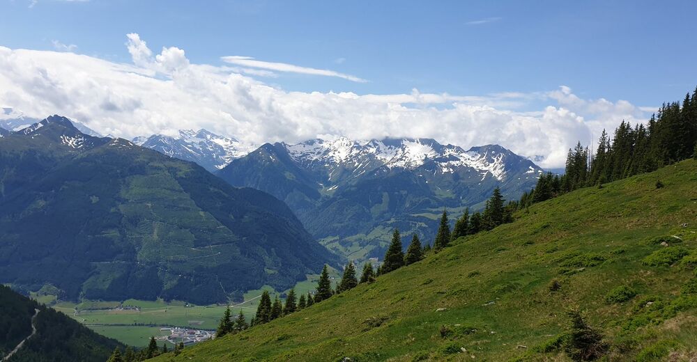
© Tourismusverband Piesendorf Niedernsill - Ferienregion Nationalpark Hohe Tauern - Bettina Lerch
- Brief description
-
This mountain bike tour with a medium level of difficulty leads you to the foot of the Bärensteigkogel.
- Difficulty
-
medium
- Rating
-
- Starting point
-
Uttendorf
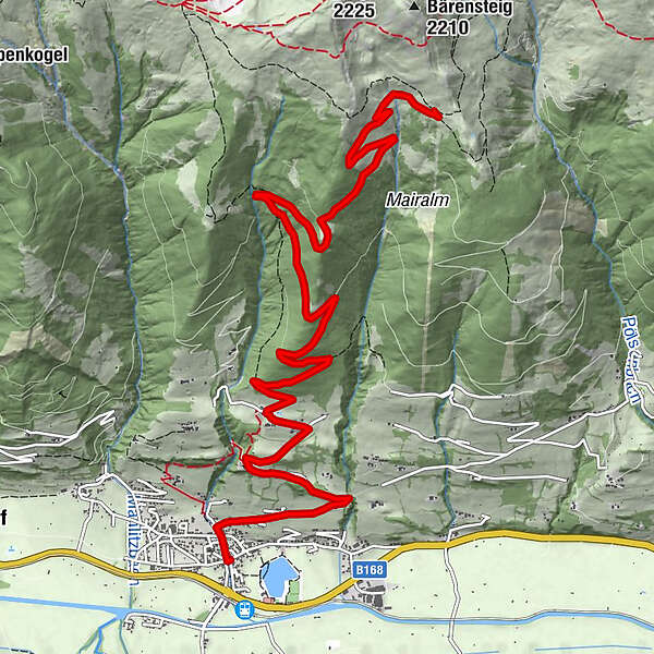
- Route
-
Uttendorf0.0 kmQuettensberg2.3 kmAlpengasthof Liebenberg3.3 km
- Best season
-
JanFebMarAprMayJunJulAugSepOctNovDec
- Description
-
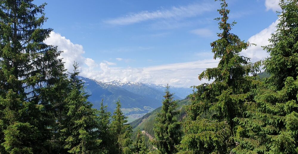
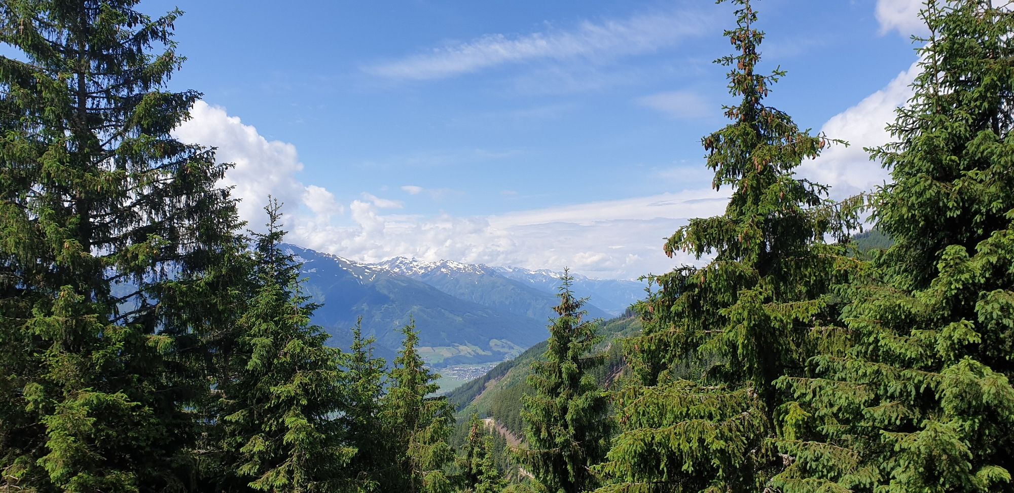
The panoramic view of this tour is really beautiful. You always have the majestic peaks of the Hohe Tauern National Park in view.
- Directions
-
From Scharler's Boutique Hotel in the village centre, follow the Dorfbachstraße uphill to the second fork in the road and turn right. Now follow the Sonnbergstraße road to the bridge, continue left along the Quettensberg and past the Stoanabichl Celtic village to the Alpengasthof Liebenberg inn. Pass the barrier and follow the forest road to the Hochsonnbergalm hut at 1,925 metre above sea level.
The way back is via the same route.
- Highest point
- 1,908 m
- Endpoint
-
Uttendorfer Hochsonnbergalm
- Height profile
-

- Safety instructions
- Tips
-
On the hut you will be rewarded with a hearty alpine snack. A hike to the Bärensteigkogel will enrich your tour.
- Additional information
- Directions
-
By mountain bike: From Piesendorf Niedernsill follow the well-marked Tauern Cycle Path to Scharler's Boutique Hotel in the centre of Uttendorf.
- Public transportation
- Parking
-
Parking available in the centre of the village and at the train station.

-

-
AuthorThe tour 8H Uttendorfer Hochsonnbergalm is used by outdooractive.com provided.
GPS Downloads


General info
Refreshment stop
A lot of view
Other tours in the regions