- Brief description
-
A worthwhile mountain bike tour with a medium level of difficulty up to 1,300 m with a wonderful panoramic view over the lake Zell!
- Difficulty
-
medium
- Rating
-
- Starting point
-
Thumersbach
- Route
-
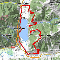
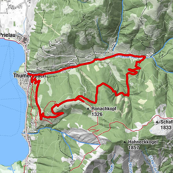
Thumersbach0.1 kmEbner1.8 kmGasthof Waldheim3.4 kmEnzianhütte8.9 kmThumersbach13.4 km
- Best season
-
JanFebMarAprMayJunJulAugSepOctNovDec
- Description
-
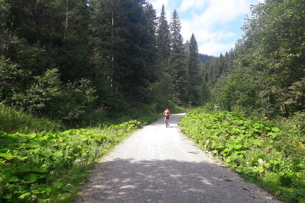
Vigorous pedalling is the order of the day for mountain bikers and if you want to take it easy, you can easily get up on the e-bike. Once you have arrived at your destination, you will not only be rewarded with a wonderful panoramic view, but also in the rustic Enzianhütte with home made and regional delicacies.
- Directions
-
From Thumersbach, follow the Talstraße road upwards to the Gasthof Waldheim. Shortly afterwards, turn right and cycle bend for bend uphill to the next junction. Turn right again and continue to the Erlbergweg/Enzianhütte junction. Turn left and follow the road for approx. 150 m to the Enzianhütte hut at 1,300 metres above sea level. Well refreshed, you cycle along the Erlbergweg downhill and back to the starting point.
The tour you can also cycle in the opposite direction.
- Highest point
- 1,269 m
- Endpoint
-
Thumersbach
- Height profile
-

- Safety instructions
- Additional information
- Directions
-
By mountain bike: From Piesendorf Niedernsill follow the well-marked Tauern Cycle Path to Bruck and from there cycle to Thumersbach.
- Public transportation
-

-
AuthorThe tour ZE7 Waldheim - Enzianhütte is used by outdooractive.com provided.
GPS Downloads


General info
Refreshment stop
A lot of view
Other tours in the regions
-
Zell am See - Kaprun
309
-
Maishofen
146