

- Brief description
-
An eventful mountain bike tour into the unique, impressive and varied Käftertal valley.
- Difficulty
-
medium
- Rating
-
- Starting point
-
Toll station Ferleiten
- Route
-
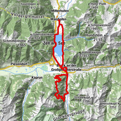
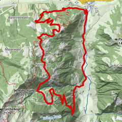
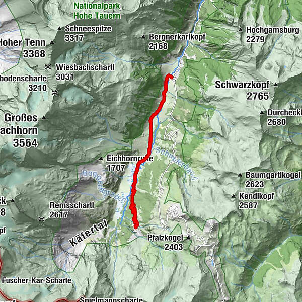
Ferleiten0.0 kmSchupfer Grundalm2.8 kmTrauneralm (1,522 m)6.8 km
- Best season
-
JanFebMarAprMayJunJulAugSepOctNovDec
- Description
-
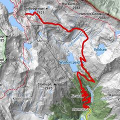
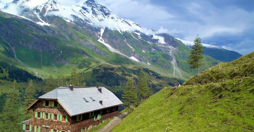
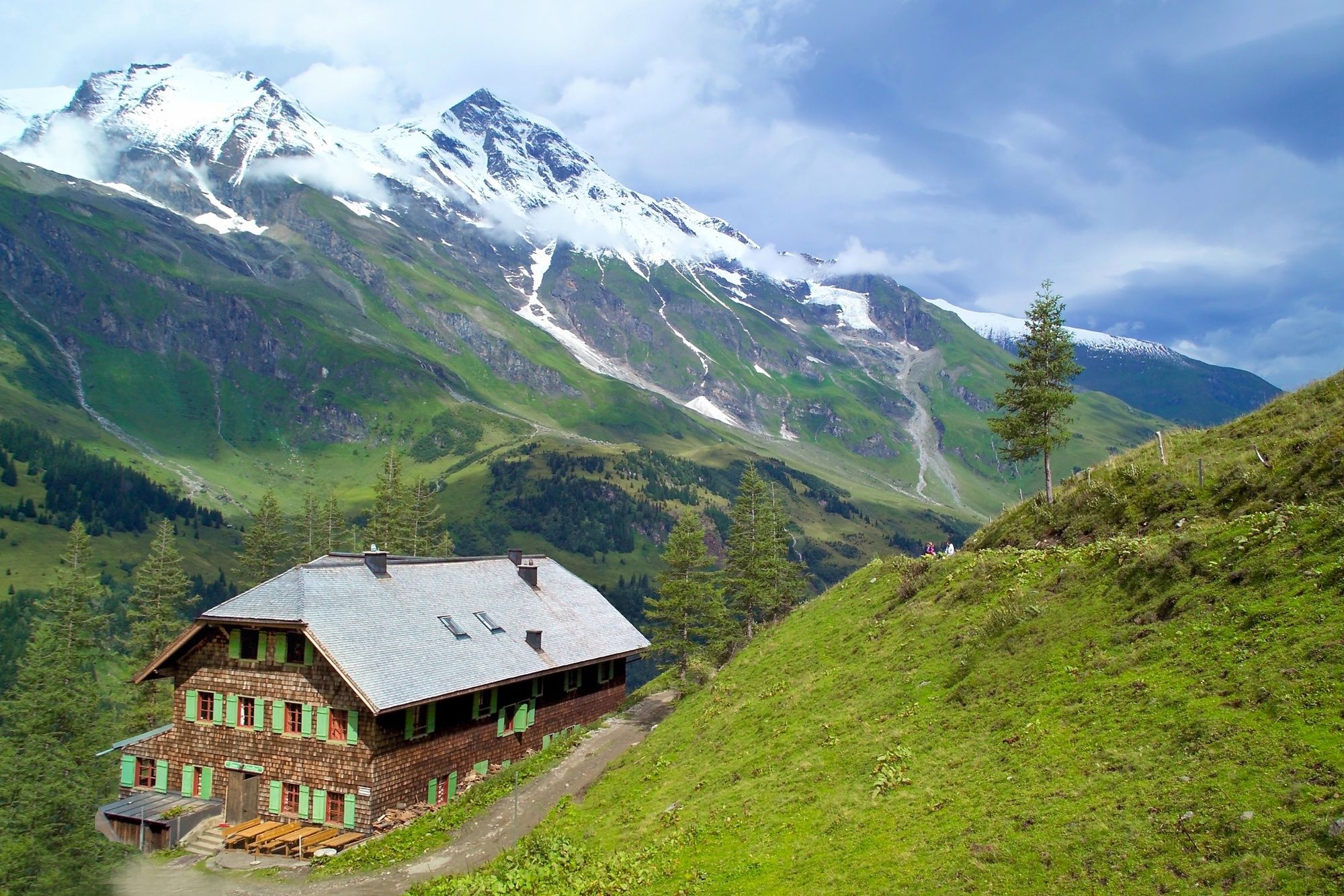
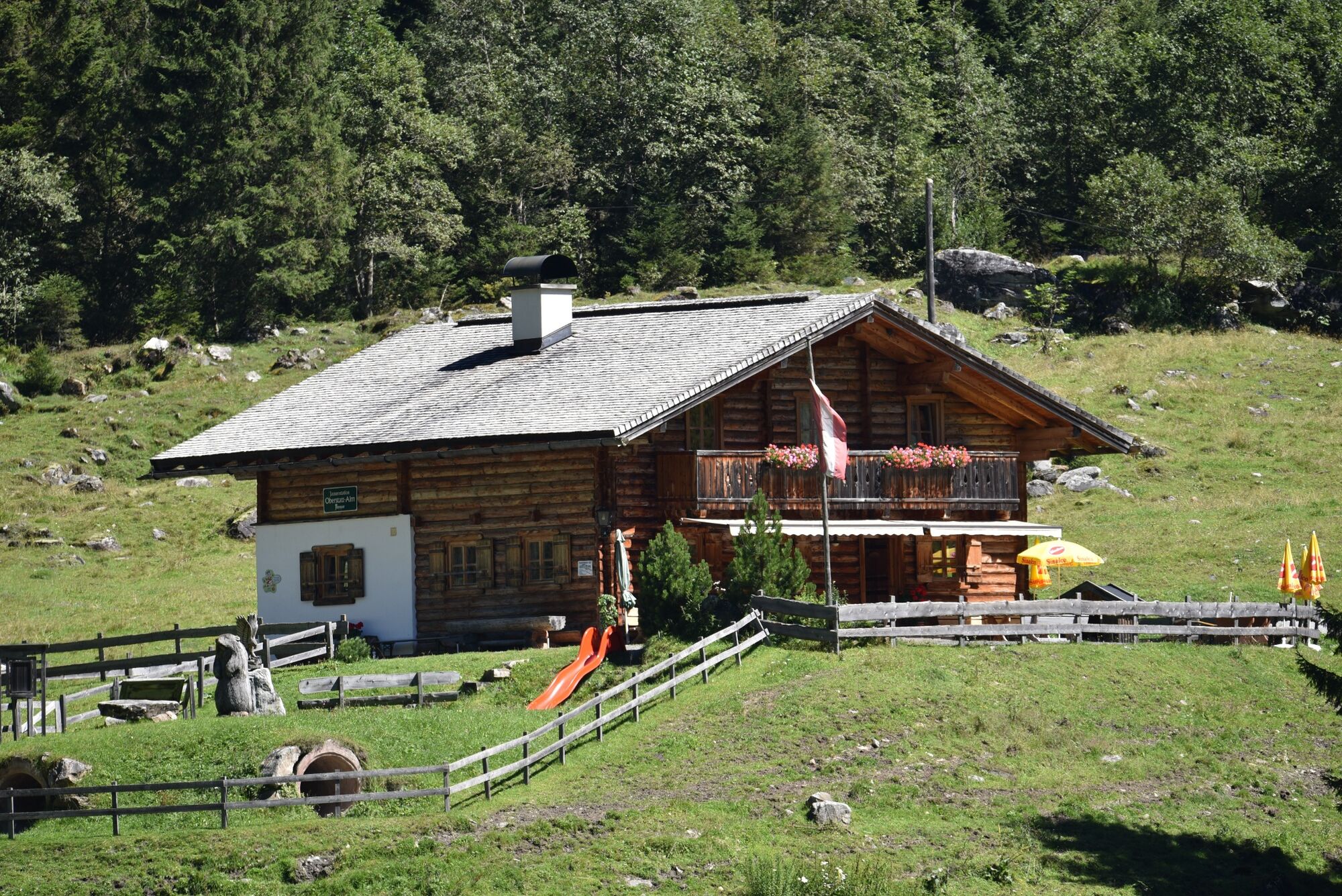
The Trauneralm, dating from the time of the Pfandelscharten crossing to the Großglockner, is surrounded by 15 three thousand metre peaks and by a variety of alpine flora and orchids in the Rotmoos in the Käfertal valley, which will delight you not only with unspoilt nature, a magnificent panorama and thunderous waterfalls. The Rotmoos Valley with its swamp meadows is one of the unique floras in Europe and opens up one of the most beautiful and impressive valleys in the Alps. At an altitude of over 1,100 m above sea level, more than 300 species of beetles, almost 200 of large butterflies and a multitude of wild animals live here.
- Directions
-
This mountain bike tour starts at the Tauernhaus Ferleiten (near the toll station). From here follow the slightly ascending forest road into the Käfertal. After about 4 km turn left, cross the bridge and follow the slighly steeper path uphill to the Trauneralm at 1,530 m above sea level.
The way back is via the same route.
- Highest point
- 1,525 m
- Endpoint
-
Trauneralm
- Height profile
-

- Safety instructions
- Tips
-
A visit to the Wildlife and Adventure Park rounds off your eventful mountain bike day.
- Additional information
- Directions
-
By mountain bike: From Piesendorf Niedernsill you follow the well-marked Tauern Cycle Path to Bruck. From here you continue into the Fuschertal valley until you reach the Ferleiten toolgate.
- Public transportation
- Parking
-
Sufficient parking space available in Ferleiten.

-

-
AuthorThe tour 13D Trauneralm is used by outdooractive.com provided.