- Brief description
-
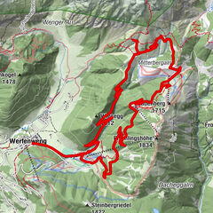
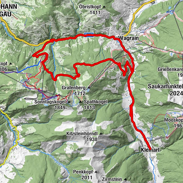
The tour leads from the tourist office in Kleinarl via Wagrain almost to St. Johann and back again in one loop.
- Difficulty
-
medium
- Rating
-
- Starting point
-
Kleinarl tourist office
- Route
-
Kleinarl0.0 kmBotenwirt0.8 kmFürbach6.2 kmWagrain6.9 kmFilalkirche Hl. Franziskus („Marktkirche“)7.1 kmMarkt7.1 kmGoldanger7.5 kmVorderbuchau14.0 kmBuchau Saletti14.0 kmGrafenberg-Express II21.0 kmG-Link Wagrain (1,240 m)21.0 kmGrafenberg-Express I21.0 kmBotenwirt28.3 kmKleinarl29.2 km
- Best season
-
JanFebMarAprMayJunJulAugSepOctNovDec
- Description
-
The tour can be driven both from Kleinarl and from Wagrain. It is easy to walk downhill along the main road to the old sawmill between Wagrain and St Johann im Pongau. From here the ascent begins on a gravel / forest road up to about 1300m and it goes in one round, past the Krapfenalm back in the direction of Wagrain. Via the Höllensteinweg you then get back down to the main road between Kleinarl and Wagrain.
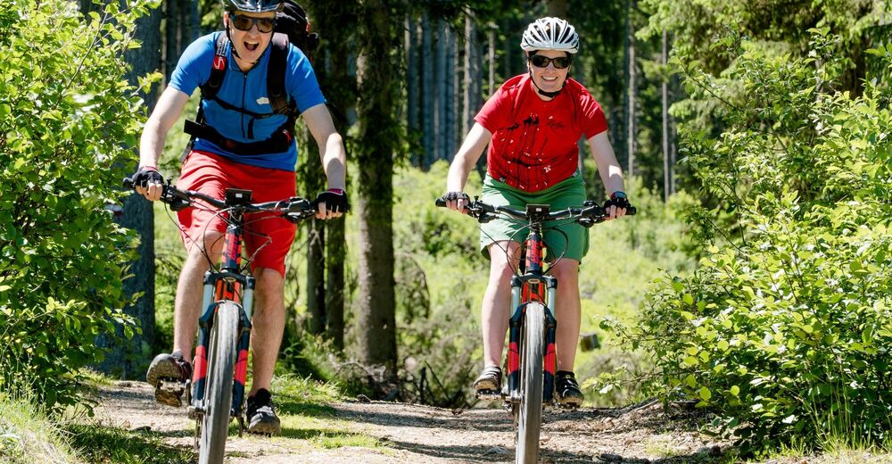
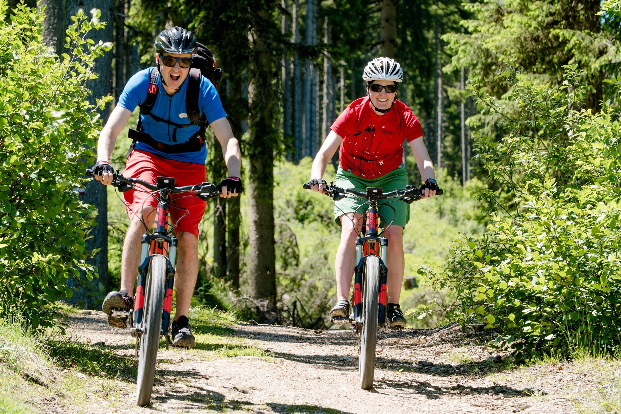
A stop at the Krapfenalm is definitely recommended. The traditional local cuisine and the unique donuts ensure your physical well-being! Whether sweet or sour, the donuts make every visit a small highlight.
- Directions
-
The tour can be driven both from Kleinarl and from Wagrain.
In Kleinarl, the tour starts at the tourist office. Now follow the bicycle signs alternately on the main road and on the cycle path in the direction of Wagrain. In Wagrain, turn left at the crossroads by the church and follow the B163 federal road in the direction of St. Johann im Pongau. When you reach the former sawmill, you now cycle left up the gravel road (Hallmoos). Follow the forest road past the Buchau Bahn and keep left at the junction to the Kreistenalm. In a slight up and down it now goes back towards Wagrain. You pass the middle station of the G-Link and then reach the Höllensteinweg, which leads you past the Krapfenalm back down to the main road between Wagrain and Kleinarl. Along the main road, it now goes back to the original starting point.
- Highest point
- 1,356 m
- Endpoint
-
Tourism Office Kleinarl
- Height profile
-

- Author
-
The tour Moutainbiketour Kleinarl - Wagrain - St. Johann im Pongau is used by outdooractive.com provided.