Watzmann-Hochkönig South-Loop: Stage 2: St. Martin – Golling

- Brief description
-
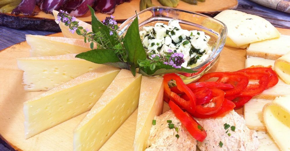
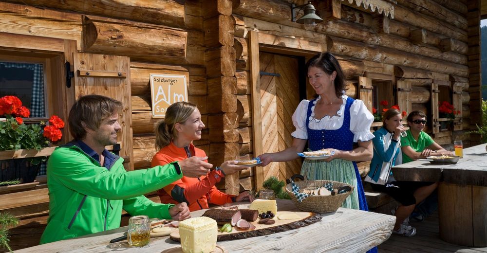
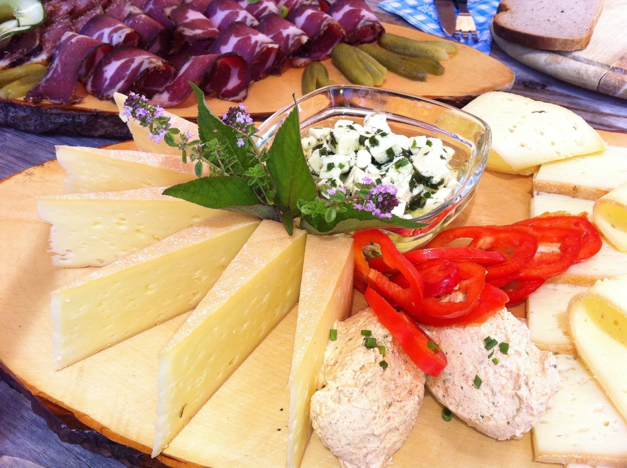
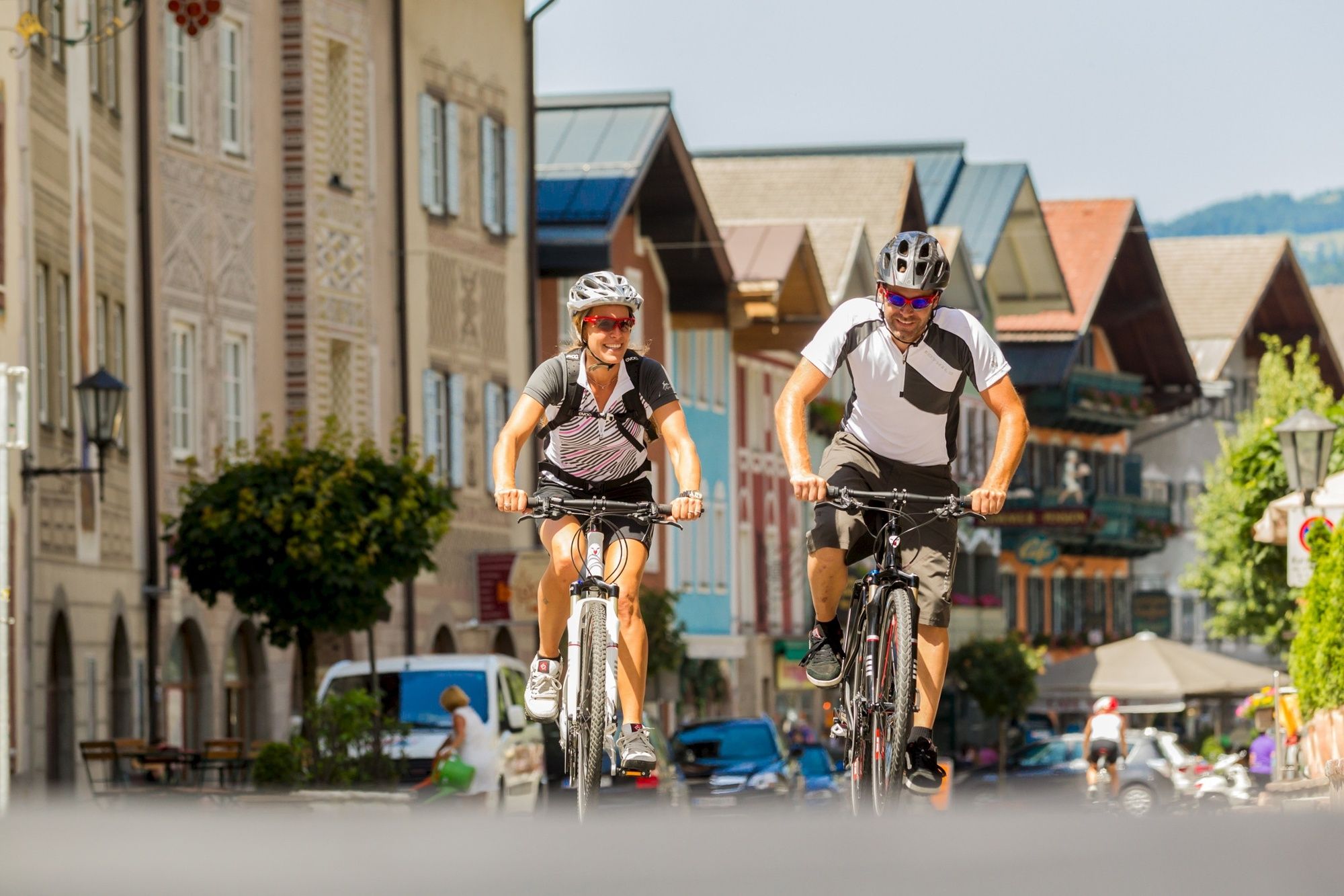
This stage strings together some shorter ascents, which accumulate to a 1000 m in total. Enjoyable are the sections directly along the river Lammer, tempting the many refreshment stops in Lungötz, Annaberg, Abtenau, Scheffau and at the Golling marketplace!
- Difficulty
-
medium
- Rating
-
- Starting point
-
St. Martin
- Route
-
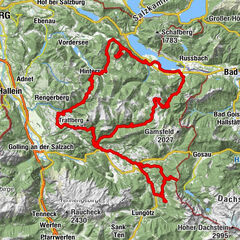
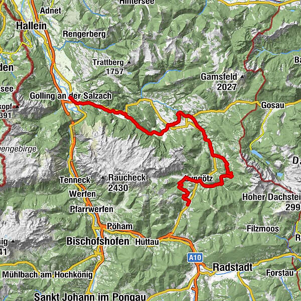
Sankt Martin am Tennengebirge0.2 kmSchwaigrotte0.8 kmEdt7.4 kmHauskapelle8.8 kmSalettl8.9 kmLungötz9.0 kmNeubach9.5 kmKoppersau11.6 kmScherlreith12.3 kmNeuhaus12.9 kmAlpendorf Dachstein West18.5 kmSalfelden24.7 kmLeitenhaus26.8 kmHallseiten27.2 kmSchratten31.7 kmFischbach32.4 kmAbtenau34.1 kmMarkt34.1 kmAu35.1 kmUnterberg37.1 kmWinklau42.2 kmEnglhart42.3 kmOberscheffau42.8 kmScheffau am Tennengebirge46.1 kmGriesau46.3 kmUnterscheffau47.7 kmBrunnerwirt50.3 kmGolling an der Salzach51.3 kmPfarrkirche Golling51.3 km
- Best season
-
JanFebMarAprMayJunJulAugSepOctNovDec
- Description
-
The tour branches off the cycle path, before St. Martin, after not even 500 m, where we turn right into the Schwaigenrotte. After approx. 2 km, we turn right again up into the Harreith. After this, we leave the coarser climbs behind us. The highest point, 1160 m is reached soon and without significant effort, we arrive in the Lammertal (valley). The paved road begins again, 500 m above the Lämmerhof, where we easily roll out to Lungötz. There, we turn left and after a short section towards the North we leave the Federal Highway to the right into the Neubachtal (valley). The imperceptible slope leads to the Neuhauser. We then turn left onto the gravel road, go past the cross, and after hardly 500 m a water source offers the opportunity to fill up our water bottles. The forest road continues to rise further, until we reach the farm of Unterdürrmoss. From here, the views are impressive! To the right rises the Gosaukamm with the Bischofsmütze and the Lammertal lies spread out before us. From here on out, we can refrain from using our pedals, and can concentrate solely on the brakes as we take the paved road down into the valley. Pasing the holiday village, we reach the main street (entrance to the Salzburger Dolomitenhof) and continue down, past the valley station of the Donnerkogel cable car, to Haslau on the federal road. There we turn right and continue along the federal road towards the valley exit.
After 3 km, turn right at the many car dealer signs (not to miss, with numerous direction signs for MTB routes), follow the road to Lammer, past the Rupertushof and the stables, cross the federal road after the Schwaighof bridge, and continue to the left along the river Lammer. At first, we stick to the right but then 1.3 km are spent on the left side of the river Lammer. In front of the bridge we turn left to the farms, but immediately turn left again, along on a steep uphill track. At the paved road turn left up the serpentines. At the plateau (beautiful views of Dachstein), we follow the road to Schmerau. On the Erlmoos road we ride back down to Abtenau. Before the first houses of Abtenau, at the sign towards the city centre, we turn left and cycle down to the main road, where we turn right towards the centre. At the Raiffeisen Bank we take the road up left. At the end of the houses we bear left and ride along the forest down to the main road, where we turn left. We traverse the Schwarzerbach (stream) at the Aumühle and continue to cycle until the end of the valley at Unterberg. There, we turn left and ride up on a forest road which runs into a narrow trench, up to the watershed Grubberg (810 m). Here, the forest stops, and you look onto steep rock faces and mountain slopes. At first, it's relatively flat, while passing the stone pillars (former boarder markers), down the Klausgraben. From the Roidenbauer, a paved serpentine road (nice panorama of Lammertal) runs steeply down to Schwarzenbachbrücke. After crossing the Lammerbrücke, the route continues left on a newly landscaped bike trail past Scheffau, along the river Lammer towards the valley exit.
- Highest point
- 1,170 m
- Endpoint
-
Golling
- Height profile
-

- Additional information
- Author
-
The tour Watzmann-Hochkönig South-Loop: Stage 2: St. Martin – Golling is used by outdooractive.com provided.