


- Brief description
-
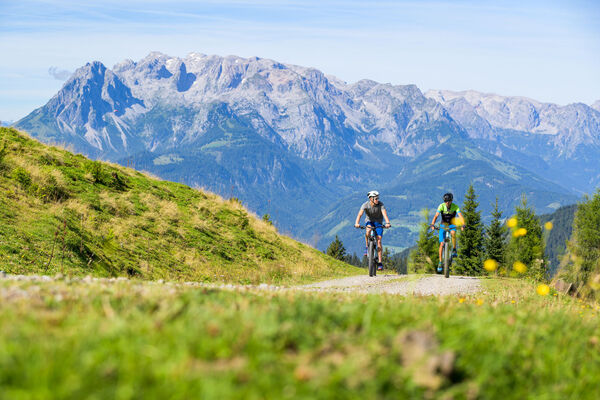
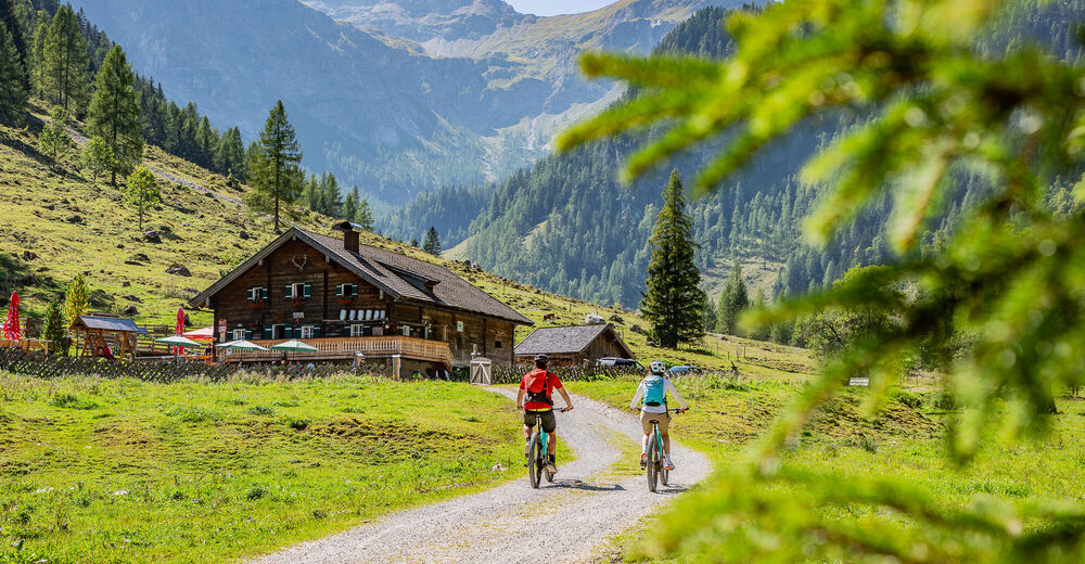
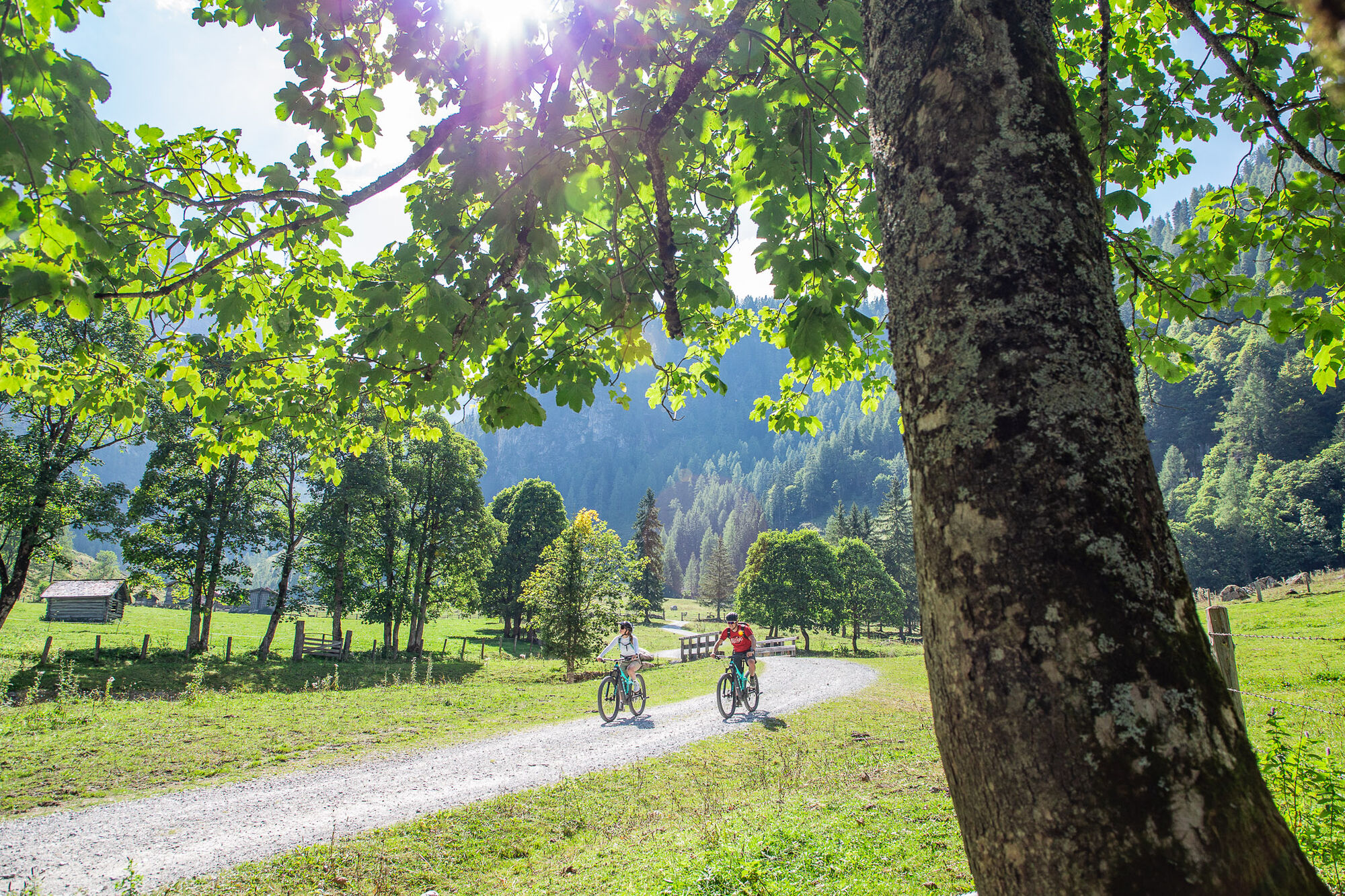
Easy mountain bike tour into the untouched Marchbach Valley. Ideal for the whole family.
- Difficulty
-
easy
- Rating
-
- Starting point
-
Tourist office Flachau
- Route
-
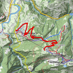
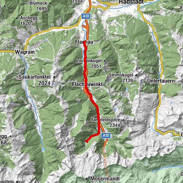
Flachau0.3 kmSeestüberl3.4 kmFlachauwinkl5.5 kmOfentürl6.4 kmHintere Marbachalm13.3 kmOfentürl20.1 kmFlachauwinkl21.1 kmSeestüberl23.2 kmFlachau26.3 km
- Best season
-
JanFebMarAprMayJunJulAugSepOctNovDec
- Description
-
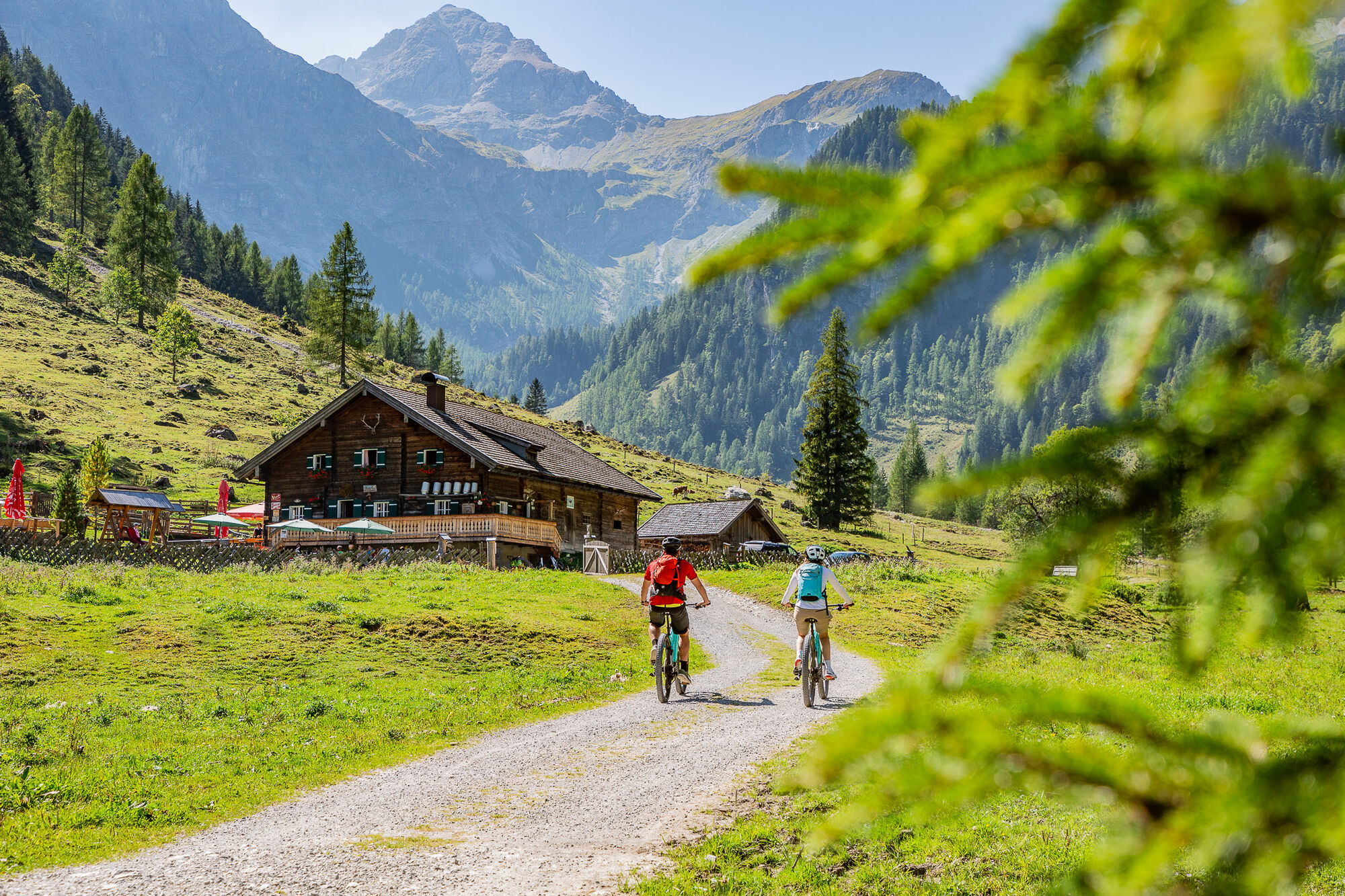
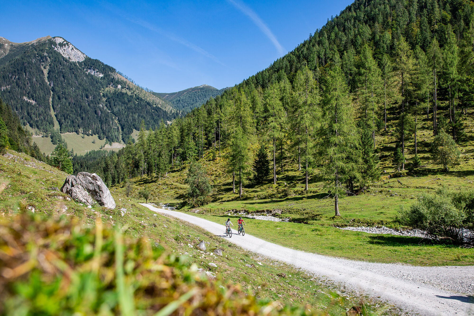
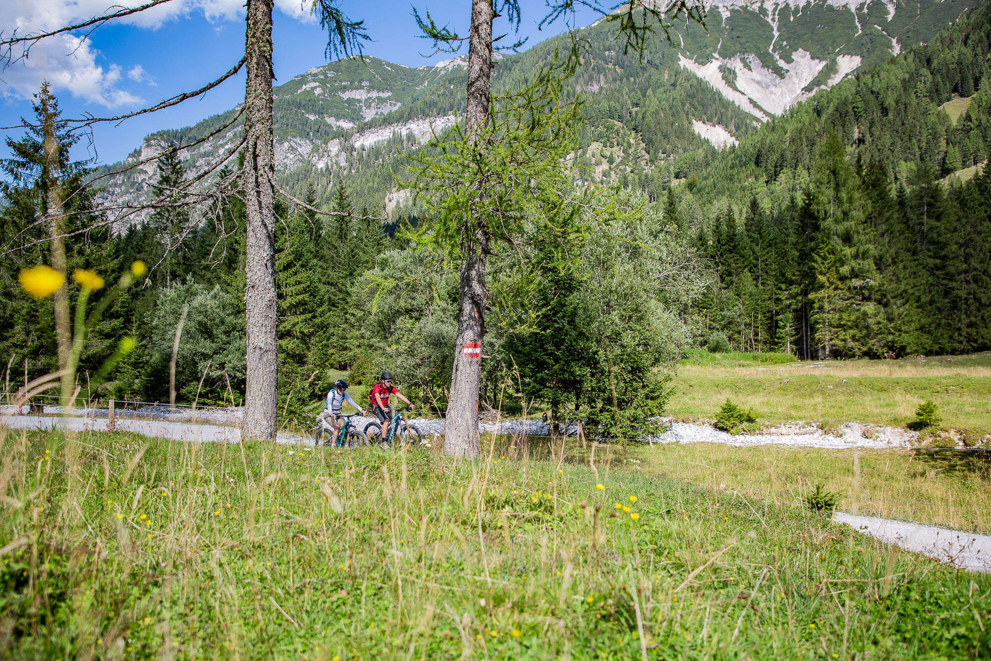
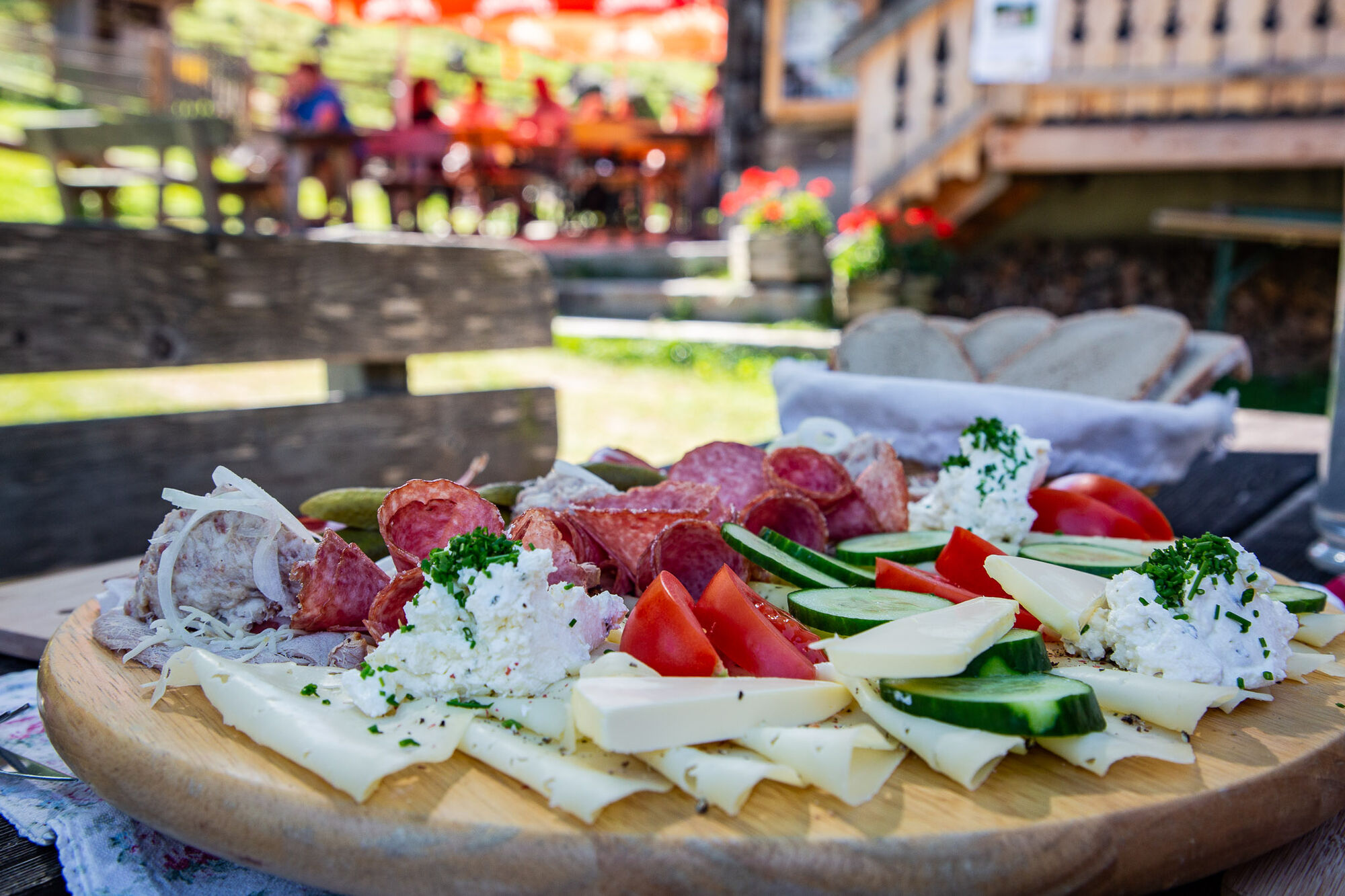
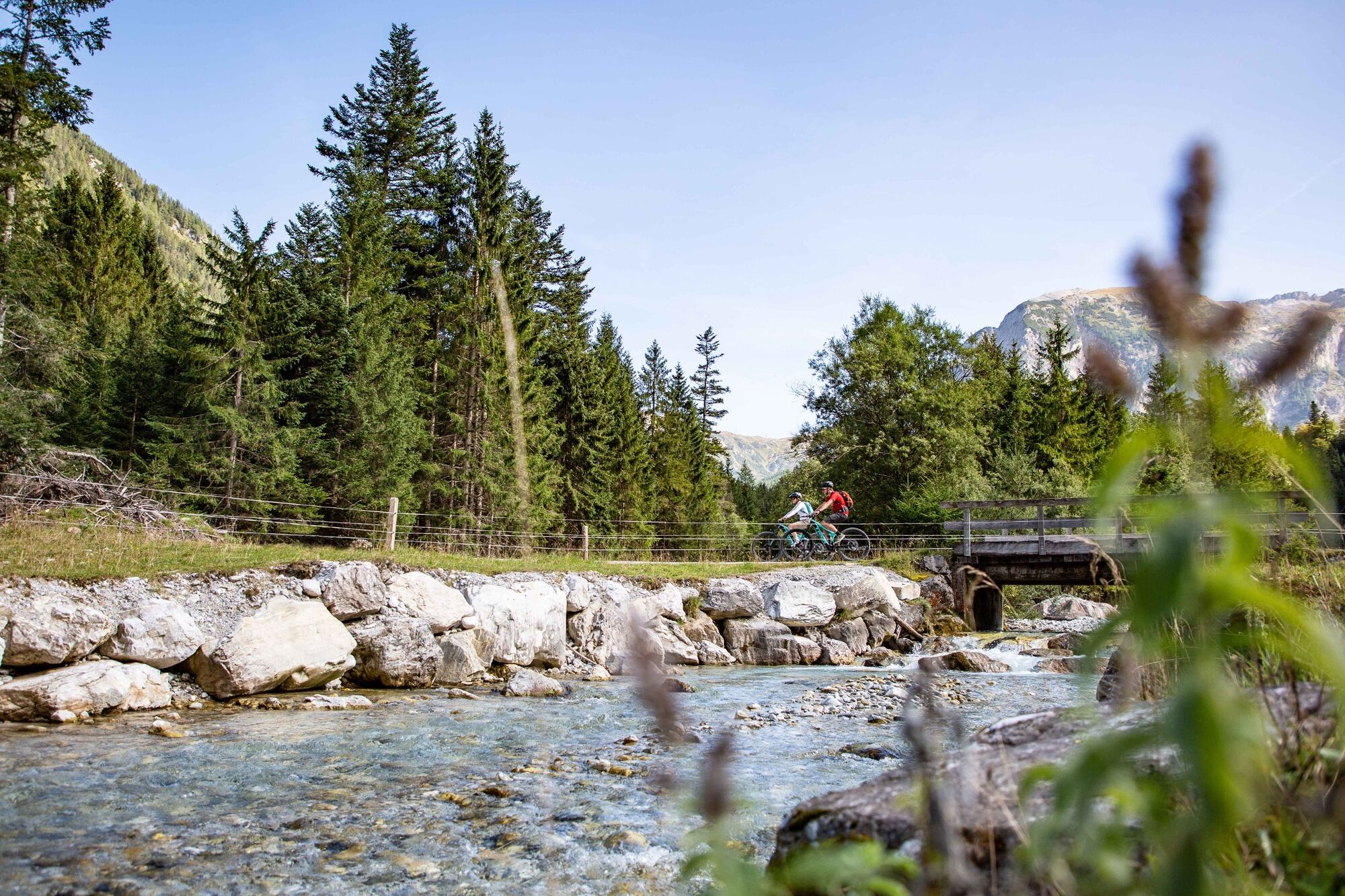
From the starting point in the centre of Flachau, the tour takes us upriver along the Enns cycle path. Past the bathing lake - which invites you to cool refreshment after the tour - we arrive in Flachauwinkl. Here the Ennsradweg ends and we continue to follow the asphalt road along the natural torrent Pleißling. After about 10km we turn right and reach the Marbachtal via slightly ascending forest paths. At the entrance of the idyllic valley we are spoilt for choice as to which of the two unique places to stop for refreshments should be visited. The Prechtlhütte on the front Marbachalm or the Ennslehenhütte on the back Marbachalm, both huts are highly recommended. The return journey takes place on the same route back to Flachau.
- Directions
-
Start at Flachau Tourism - follow the Ennsradweg in the direction of the end of the valley to Flachauwinkl - at km 3.5 past the bathing lake Flachauwinkl - at km 6 pass the valley station Schischaukel Flachauwinkl/Zauchensee - at km 15 turn right in the direction of Marbachalmen (start of gravel road / barriers) - follow the gravel road into the wonderful Almtal at the foot of the striking Faulkogel - several stops along the Marbachtal - same route back to Flachau
- Highest point
- 1,243 m
- Endpoint
-
Tourist office Flachau
- Height profile
-

- Equipment
-
A mountainbiker's basic equipment:
protective gear enough to drink and eat for inbetween sunglasses, optionally sun cream or rain cover mobile phone - Safety instructions
-
Check the functionality of your mountain bike before each ride and inform yourself in about the current weather on site. For your own safety, we recommend to wear a helmet.
- Tips
-
Meet locals in one of the Marbachalmen
- Additional information
-
The mountain bike tour SW31 is also suitable for e-bikes! Charging stations are available in the village center at Flachau Tourismus and at the two mountain inns Winterbauer and Sattelbauer.
Here you'll find more about mountainbiking in Flachau: https://www.flachau.com/en/sport/hiking-biking/mountain-bike.html
Info on the current weather on site: https://www.flachau.com/en
- Directions
-
to Flachau Center / Flachau Tourist Office
- Public transportation
-
From June to September, the Sportweltbus is the ideal shuttle service for your bike tours in the entire region (Flachau, Wagrain-Kleinarl, St. Johann-Alpendorf, Radstadt, Altenmarkt-Zauchensee, Eben, Filzmoos, Obertauern, Großarl & Hüttschlag).
With the Flachau Summer Card you can use the Sportweltbus for only Euro 1,00 per person and route. Children under 6 years travel free!
More information at: https://www.flachau.com/en/more/information/sportweltbus.html
Further connections: www.salzburg-verkehr.at
- Parking
-
Parking space near the starting point.


-

-
AuthorThe tour Marbachalm-Tour (SW 34) is used by outdooractive.com provided.


General info
-
Katschberg Lieser-Maltatal
240
-
Salzburger Sportwelt
338
-
Flachau
148