
- Brief description
-
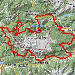
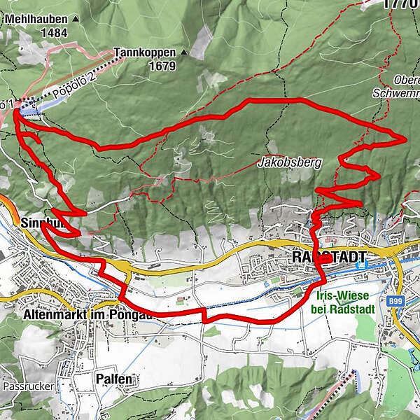
Radstadt - Altenmarkt - Bürgerbergalm - Radstadt
- Difficulty
-
medium
- Rating
-
- Starting point
-
Town square Radstadt
- Route
-
Radstadt (858 m)Bürgerbergalm3.8 kmSinnhub14.0 kmAltenmarkt im Pongau15.6 kmKrallinger15.8 kmRadstadt (858 m)18.9 km
- Best season
-
JanFebMarAprMayJunJulAugSepOctNovDec
- Description
-
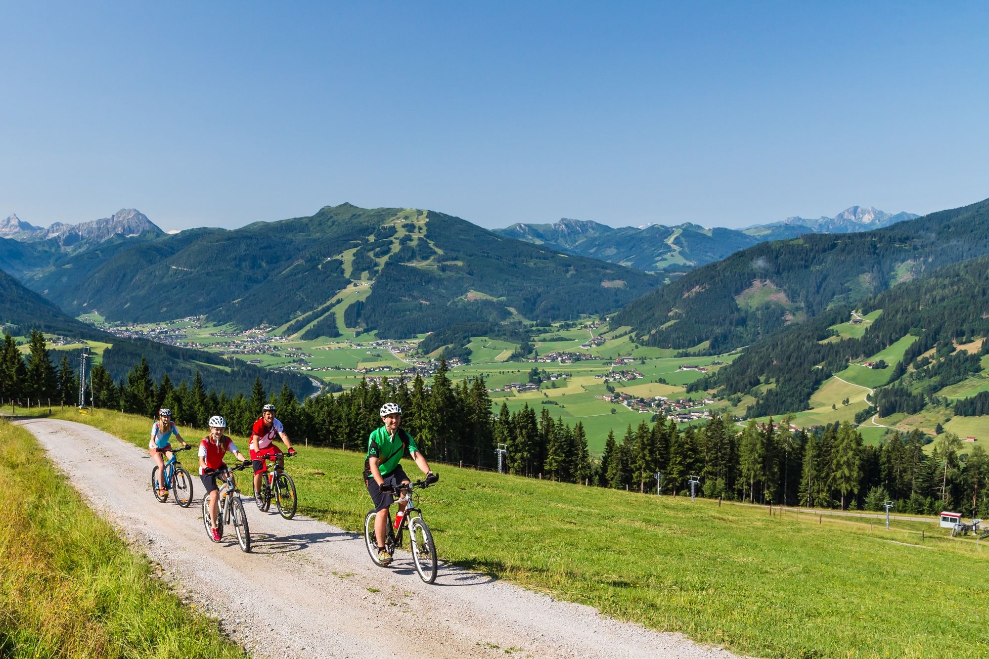
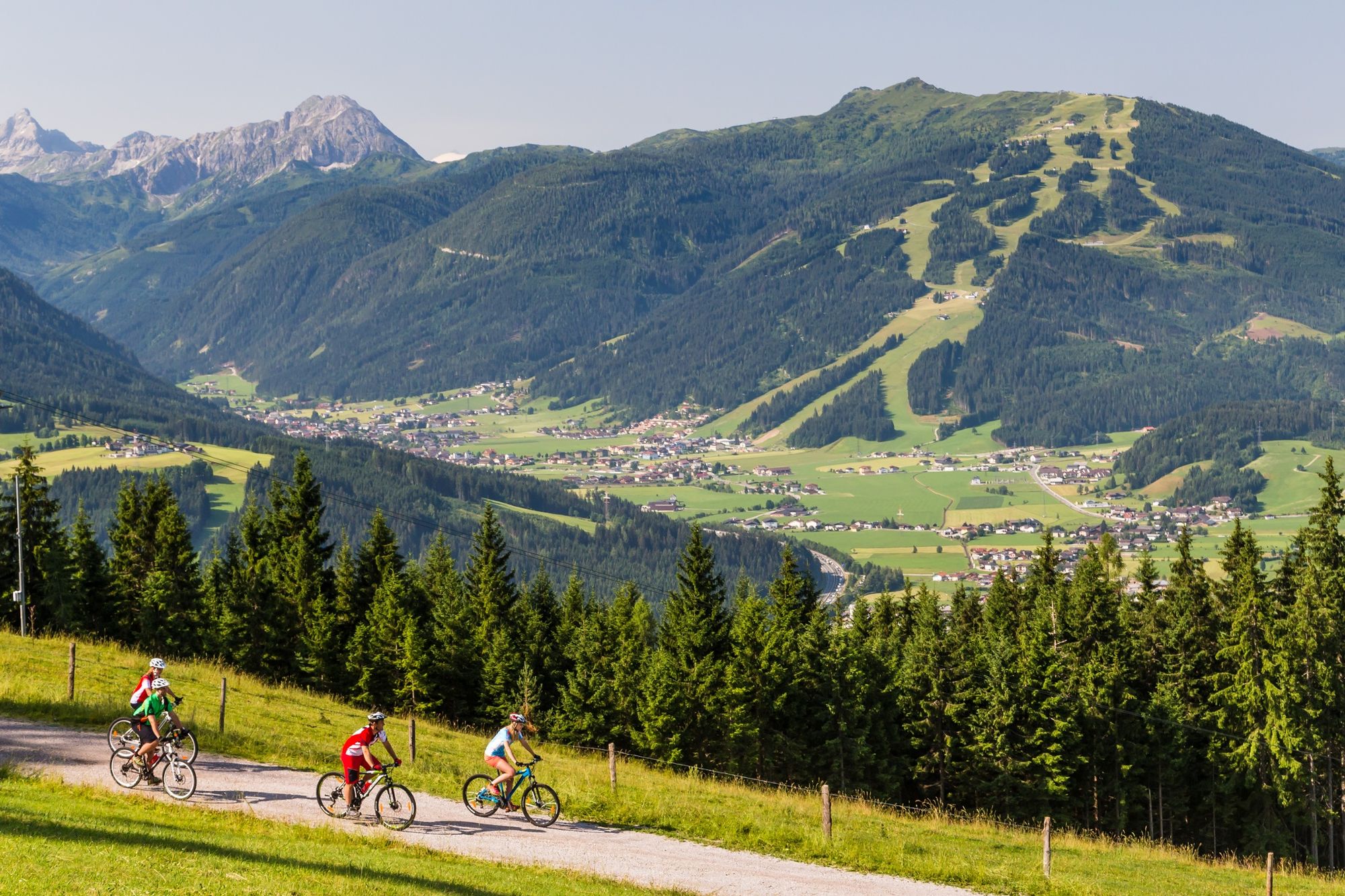
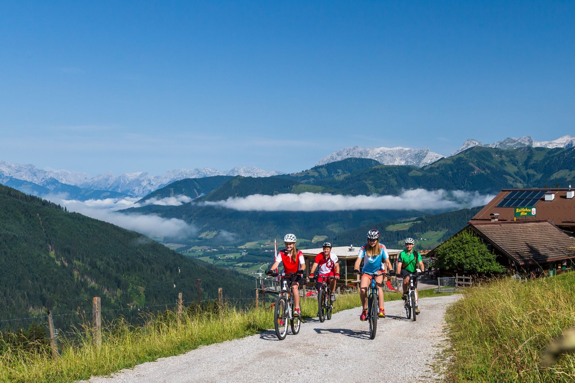
This moderately difficult, sunny tour offers a beautiful view of Radstadt, Altenmarkt and the Radstädter Tauern.
Refreshment tip: On the Bürgerbergalm with its sun terrace and playground you can get delicious, homemade Kasnocken
- Directions
-
You start in Radstadt at the town square. Exit the town to the west and turn right at the pond. Go straight ahead till the crossroad there take the right street straight (Bürgerbergstraße). After a few hairpin bends, turn right onto the forest street. From there you go in several hairpin bends up to the Bürgerbergalm. After the Bürgerbergalm you continue uphill and turn left at the fork. At the next fork you go straight ahead until you reach the highest point. At the next crossing you drive straight ahead and at the fork you keep left. You reach the asphalt road again and drive downhill in bends until you reach the old federal road and drive back to the town square.
- Highest point
- 1,417 m
- Endpoint
-
Town square Radstadt
- Height profile
-

-

-
AuthorThe tour Bürgerberg Round tour (SW 14) is used by outdooractive.com provided.


General info
-
Schladming - Dachstein
400
-
Salzburger Sportwelt
336
-
Radstadt
132