© Saalfelden Leogang Touristik GmbH - Saalfelden Leogang

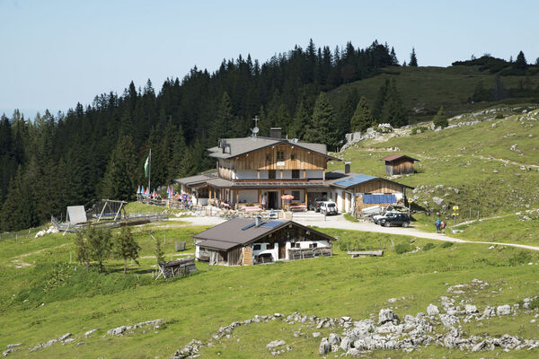
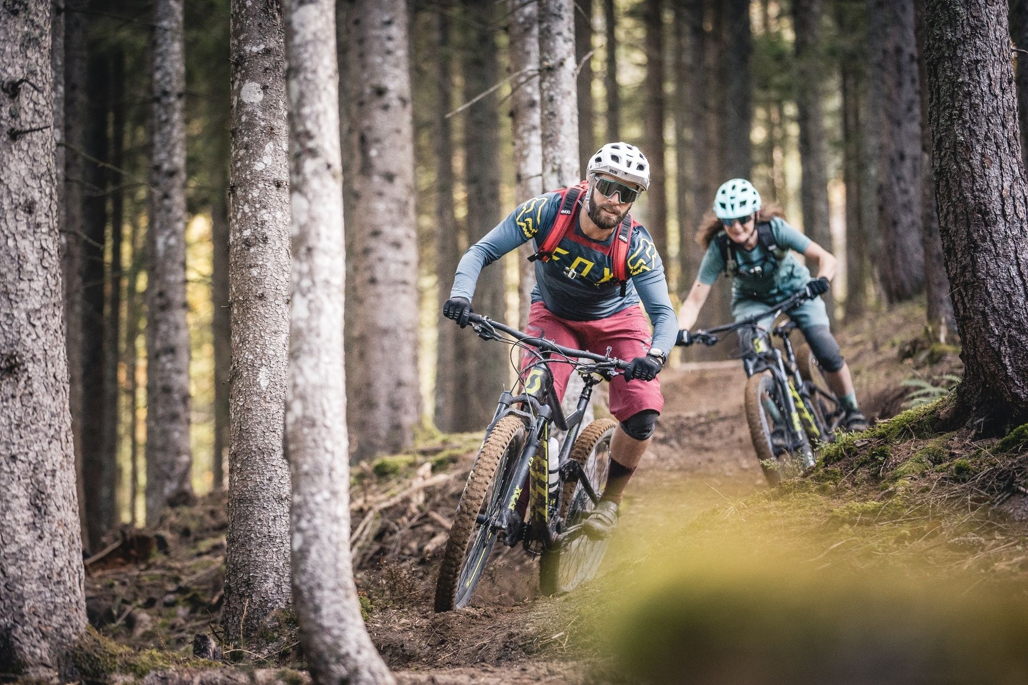
© (c) Moritz Ablinger | WOM Medien - Moritz Ablinger

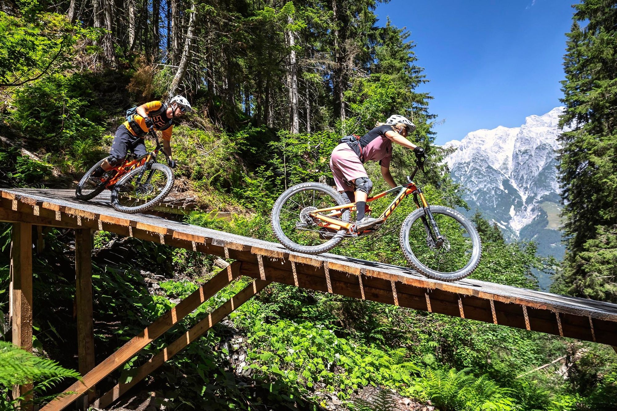
© (c) Moritz Ablinger | WOM Medien - Moritz Ablinger

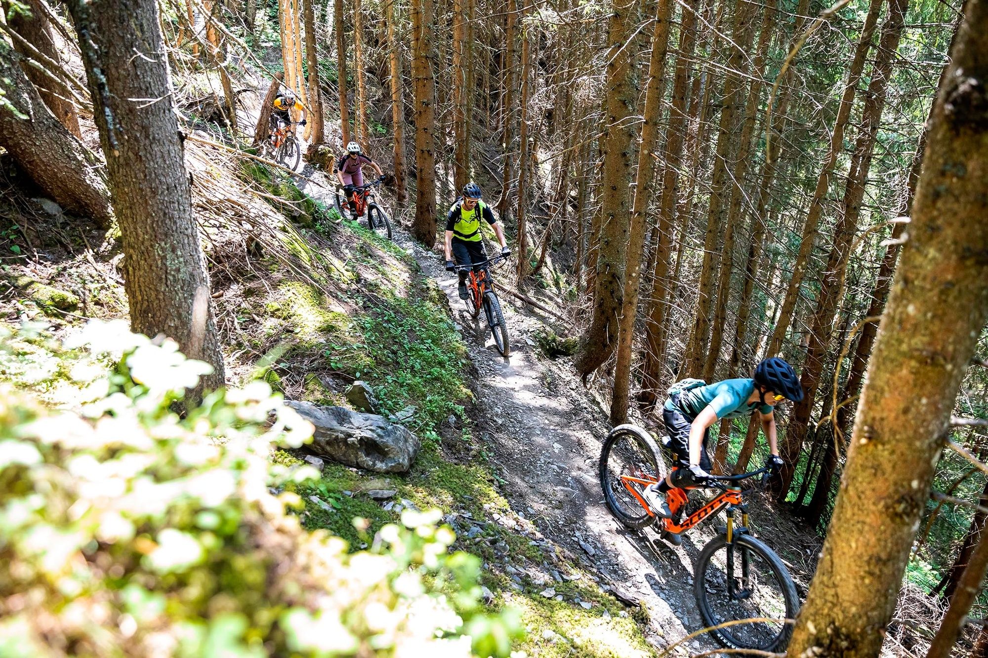
© Saalfelden Leogang Touristik GmbH - Saalfelden Leogang

- Brief description
-
Technical skills required
- Difficulty
-
difficult
- Rating
-
- Best season
-
JanFebMarAprMayJunJulAugSepOctNovDec
- Description
-
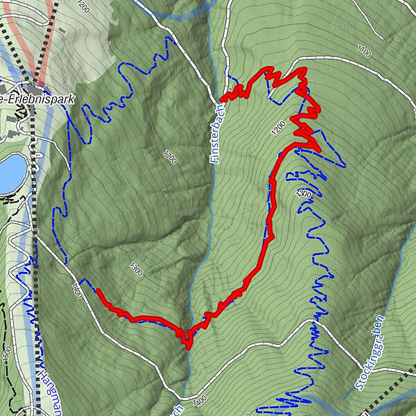
After a few meters of the turn-off to the Flow Link this natural, narrow single trailstarts and meanders through some forest passages. At the end, it joins into the Steinberg Line by FOX.
Trailstatus: bikepark-leogang.com/en
- Highest point
- 1,364 m
- Height profile
-

- Safety instructions
-
To be safe on our lines & trails in the Epic Bikepark Leogang and the surrounding region, we recommend you the following protective gears:
Full Face Helmet-Compulsory
Safety jacket
Gloves
Knee protector
Neckbrace (optional)

-

-
AuthorThe tour Antonius Trail is used by outdooractive.com provided.
GPS Downloads


Other tours in the regions
-
Saalfelden - Leogang
384
-
Leogang
122