


- Brief description
-
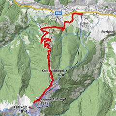
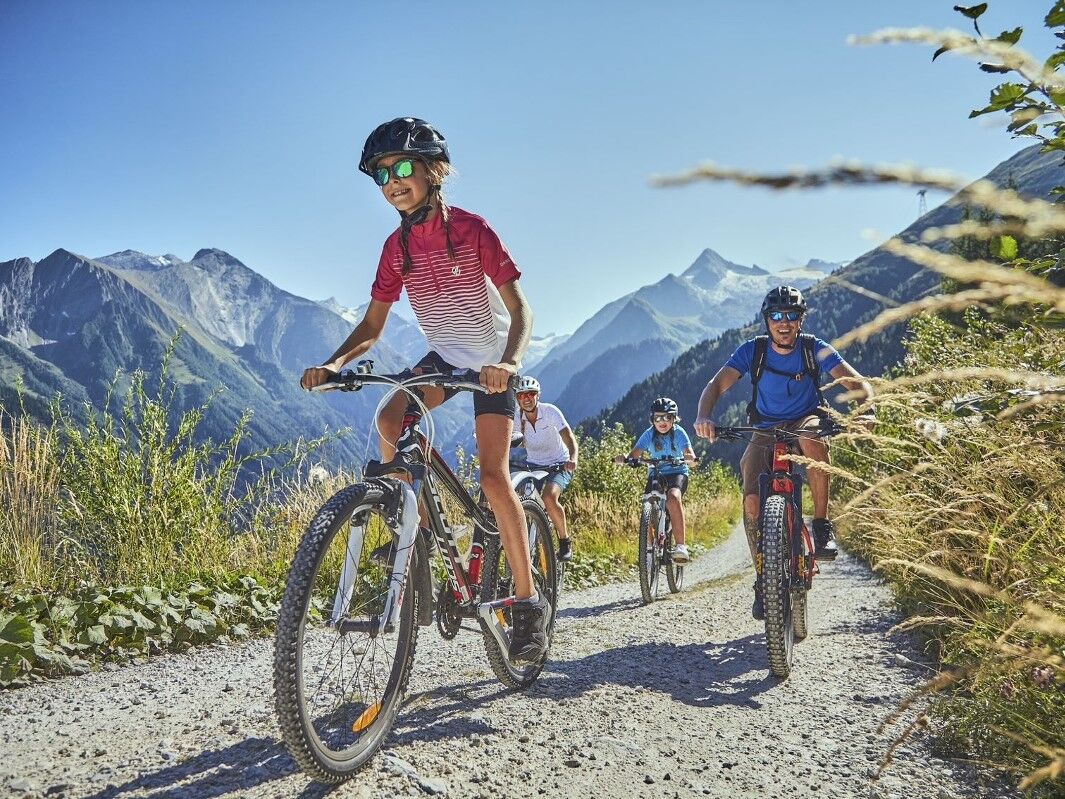
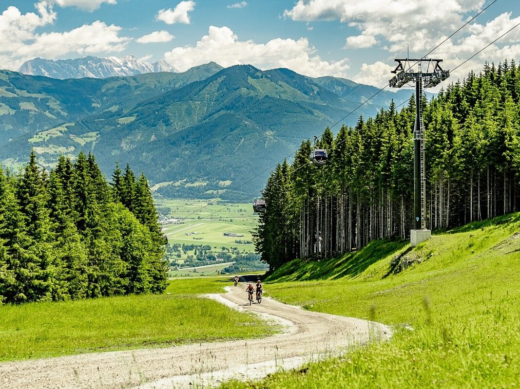
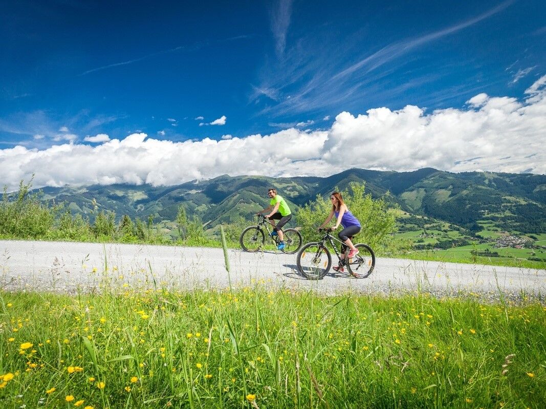
Mountain bike tour of intermediate difficulty from Kaprun to the upper terminus of the MK Maiskogel, with a total of 800 altitude metres.
- Difficulty
-
medium
- Rating
-
- Starting point
-
information office of the Kaprun Tourism Association
- Route
-
Kaprun0.0 kmJausenstation Unteraigen1.2 kmUnterbergalm9.0 kmSaulochalm10.1 kmJausenstation Unteraigen18.1 kmKaprun19.3 km
- Best season
-
JanFebMarAprMayJunJulAugSepOctNovDec
- Description
-
Diverse trail for beginners, measuring 4.6 kilometres: The route leads over banked curves, waves and small jumps from the upper terminus of the MK Maiskogelbahn to the Stanger station.
- Directions
-
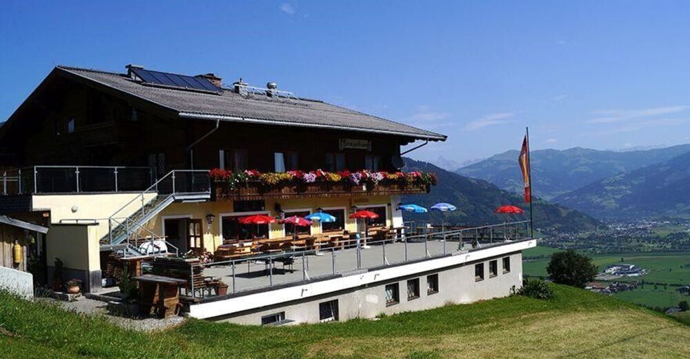
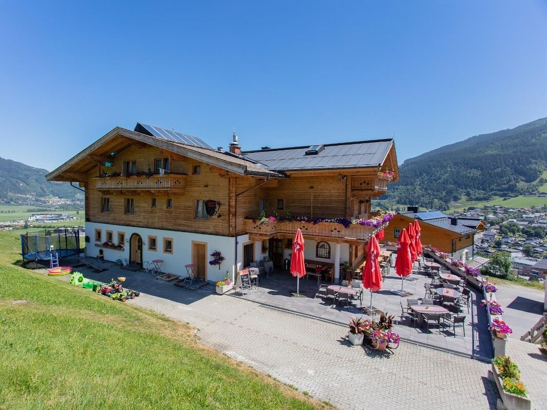
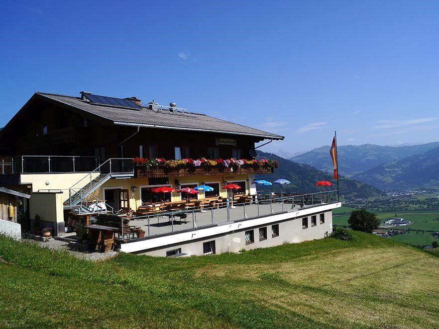
The starting point of this mountain bike tour to Kaprun's local mountain is at the information office of the Kaprun Tourism Association and continues over a bridge in the direction of Schulstraße. After just under 80 metres, the route turns right into Schaufelbergstraße: this path takes hikers and bikers to the Jausenstation Unteraigen and Jausenstation Stangerbauer refreshment stops. The route now runs along Schaufelbergstraße to the cattle grid, then branches off to Maiskogelweg. From here, the trail marked KA5 guides you to the destination on the Maiskogel, which is reached after about 1:45 hours.
- Highest point
- 1,599 m
- Endpoint
-
Maiskogel
- Height profile
-

- Equipment
-
Bike equipment, first aid and tire repair kit.
- Public transportation
-
train station Zell am See
- Parking
-
Kaprun center - MK Maiskogelbahn
-

-
AuthorThe tour MTB Maiskogel Tour KA5 is used by outdooractive.com provided.