

- Brief description
-
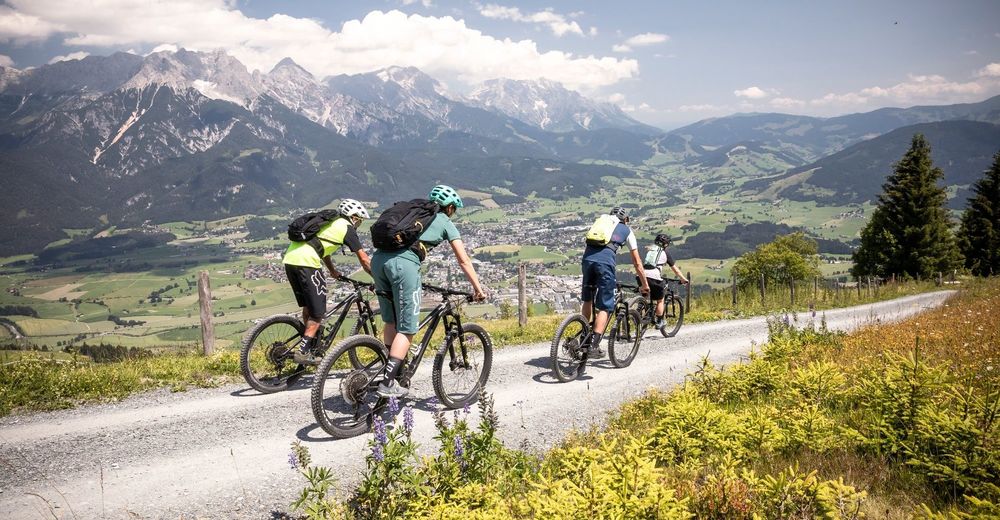
The tour to one of the nicest views of the region.
- Difficulty
-
medium
- Rating
-
- Starting point
-
Townhall square in Saalfelden
- Route
-
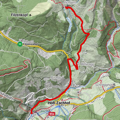
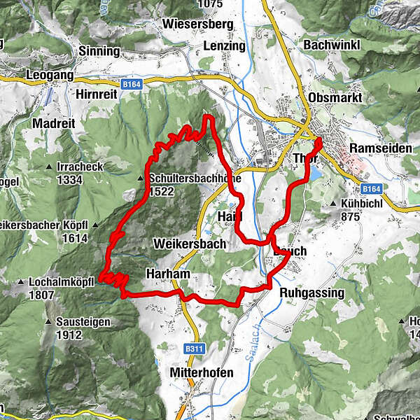
Saalfelden am Steinernen Meer (748 m)Thor0.7 kmBreitenbergham2.4 kmBsuch3.9 kmPfaffenhofen (Saalfelden am Steinernen Meer)5.0 kmHarham7.9 kmÖrgenbauernalm12.7 kmÖrgenbaueralm12.7 kmBerggasthof Biberg16.3 kmHuggenberg Alm18.3 kmGasthof Oberbiberg21.6 kmBiberg21.6 kmHaid23.1 kmGruber23.6 kmGrubkapelle23.7 kmBreitenbergham24.8 kmThor26.6 kmSaalfelden am Steinernen Meer (748 m)27.4 km
- Best season
-
JanFebMarAprMayJunJulAugSepOctNovDec
- Directions
-
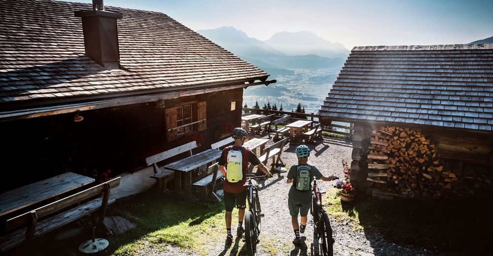
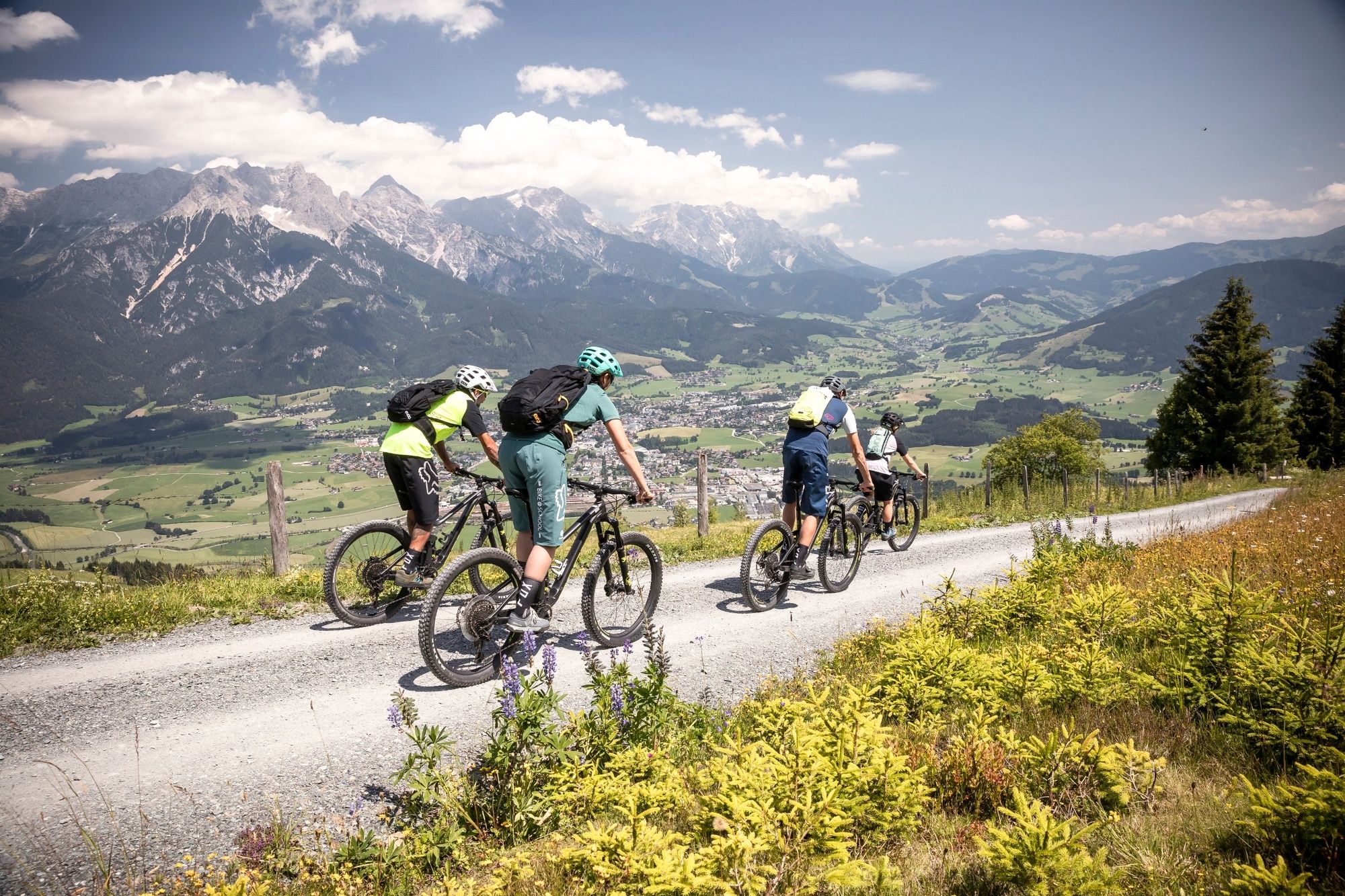
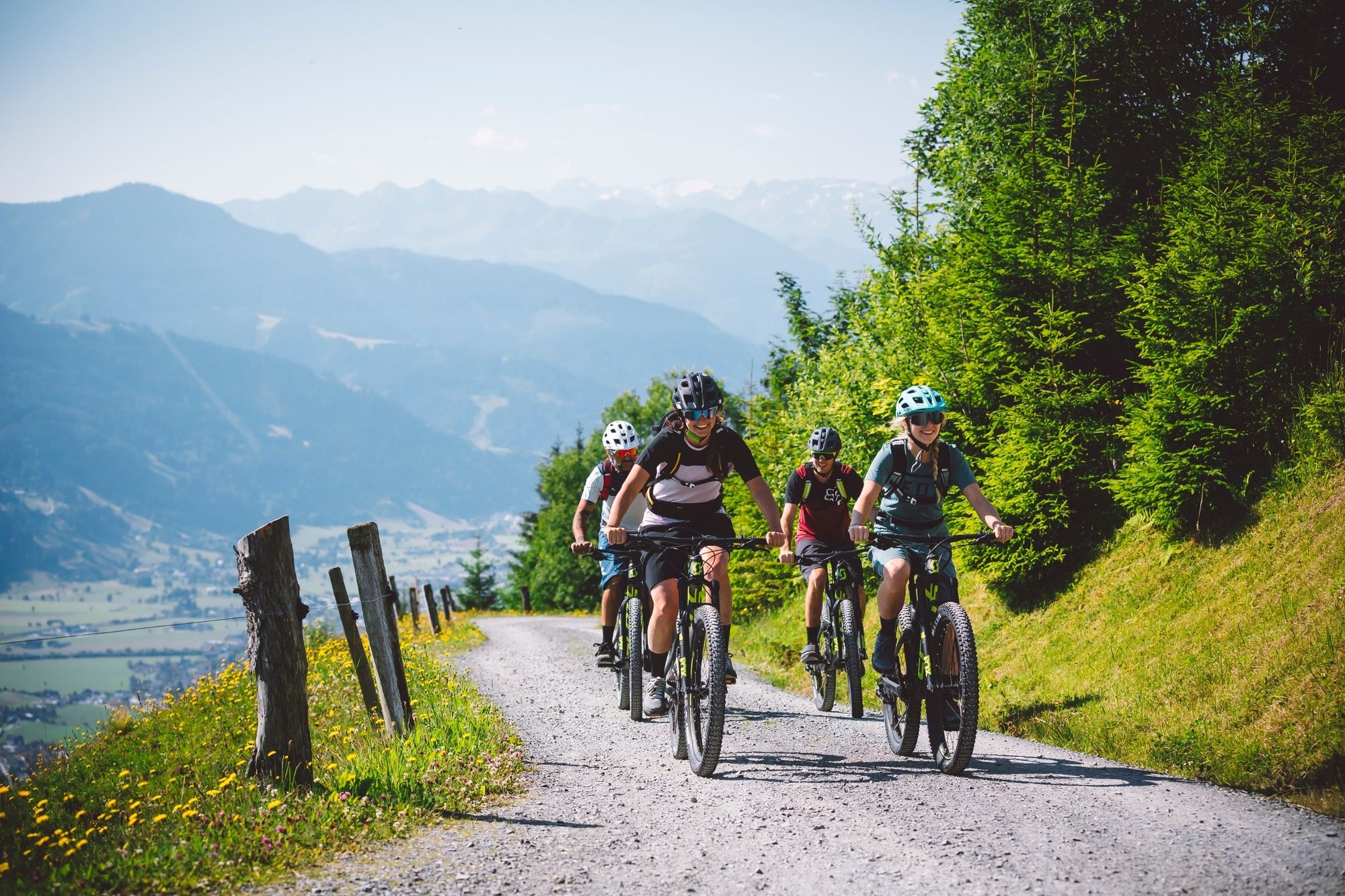
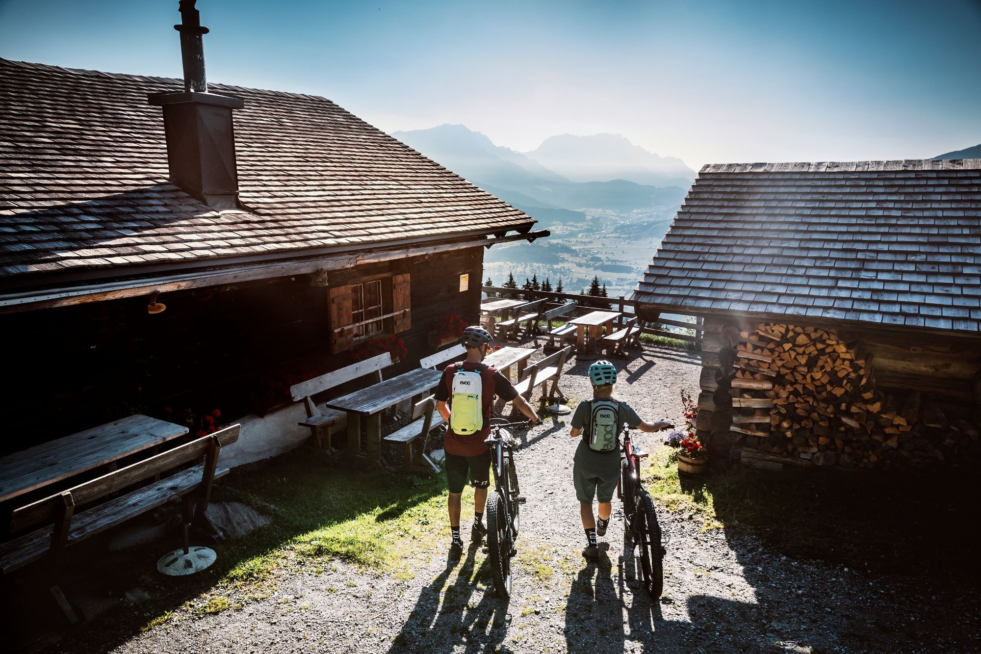
The cycle path follows a comfortable trail from the centre of Saalfelden to Harham. Here the ascent to the Örgenbauernalm begins, covering 500 altitude metres and 15 bends. After a short flat section, the route continues on up until it reaches a short descent and the end of the climb just above the Berggasthof Biberg - highest point of the tour. Here you can enjoy magnificent panoramic views from one of the region's most beautiful vantage points and savour some culinary treats before tackling the descent down to Saalfelden.
- Highest point
- 1,476 m
- Endpoint
-
Townhall square in Saalfelden
- Height profile
-

- Tips
-
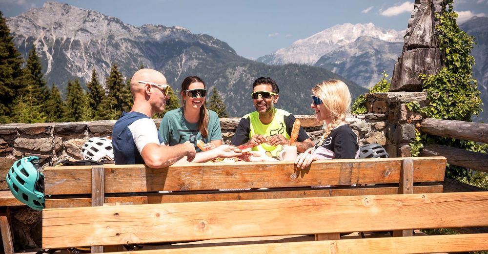
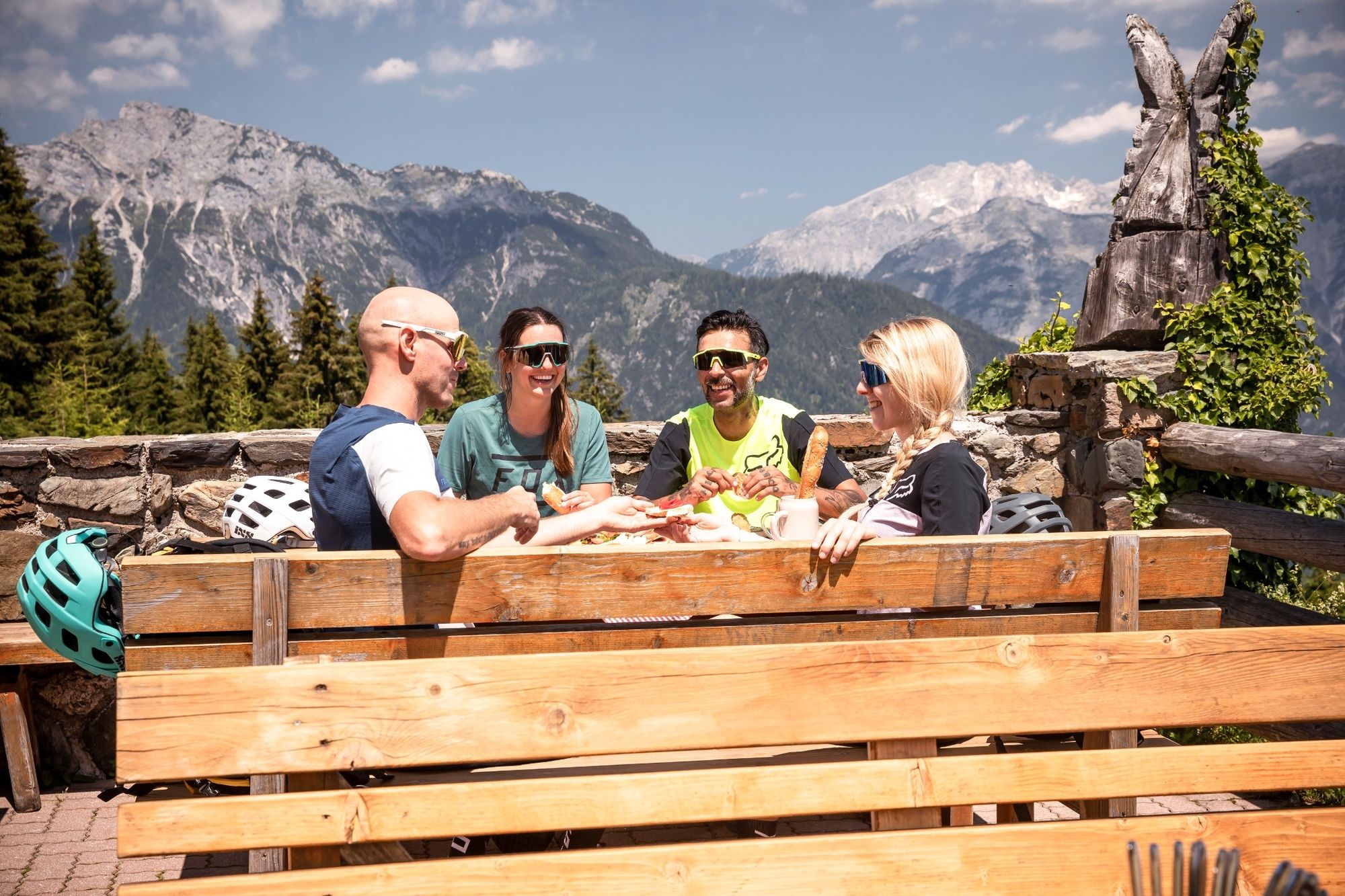
It's worth it to take a break at the Örgenbauernalm and the Berggasthof Biberg. Not only for the culinary specialties but also for the beautiful panorama.
- Directions
-
At the centre of Saalfelden opposite the townhall square you can find the large parking spaces "Großparkplatz Saalfelden" (Attention: partly there are short-stay parking zones)
- Parking
-
"Großparkplatz Saalfelden" At the large parking spaces in Saalfelden
-

-
AuthorThe tour Biberg Tour is used by outdooractive.com provided.


General info
-
Saalfelden - Leogang
375
-
Saalfelden
96