© Gästeservice Tennengau - Tourismusverband Russbach

© Österreichs Wanderdörfer - Tourismusverband Russbach

- Brief description
-
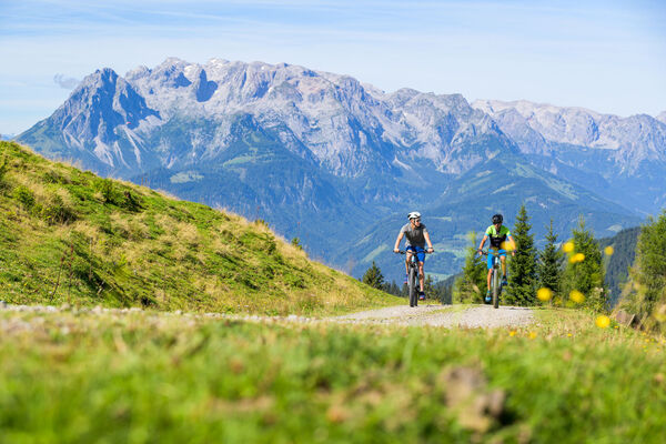
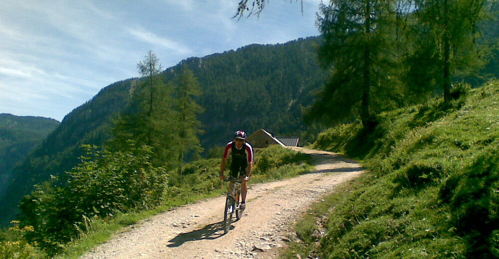
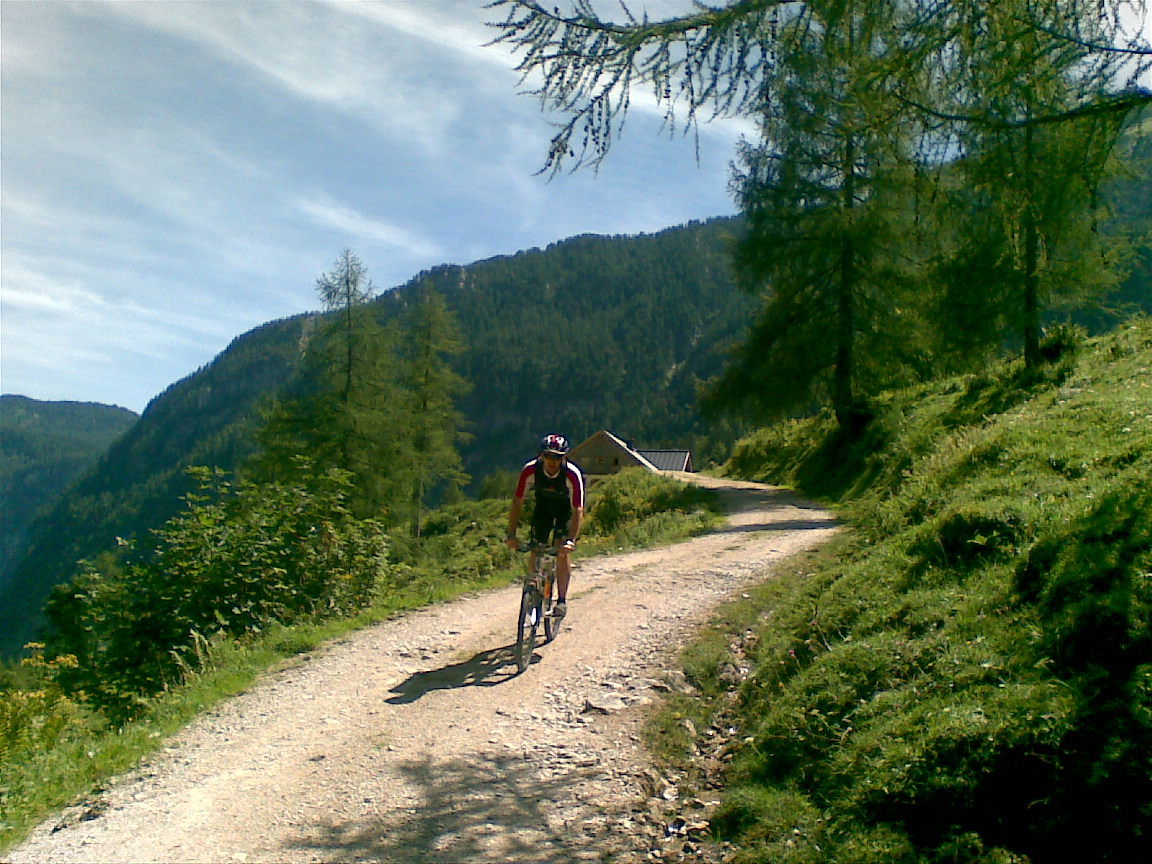
Anspruchsvoller Uphill in atemberaubender Umgebung!
- Difficulty
-
difficult
- Rating
-
- Route
-
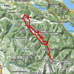
Golling an der Salzach0.1 kmSteghof1.3 kmGasthof Bärenwirt4.8 kmTorrener Wasserfall7.4 kmHubertusgrotte9.6 kmOberjochalm15.5 kmHubertusgrotte21.3 kmTorrener Wasserfall23.4 kmGasthof Bärenwirt26.2 kmSteghof29.8 kmGolling an der Salzach30.9 km
- Best season
-
JanFebMarAprMayJunJulAugSepOctNovDec
- Highest point
- 1,402 m
- Endpoint
-
Golling, Parkplatz Bahnhofstrasse
- Height profile
-

-

-
AuthorThe tour TG19 Jochalm-Tour is used by outdooractive.com provided.
GPS Downloads


General info
Refreshment stop
Insider tip
A lot of view
Other tours in the regions