
- Brief description
-
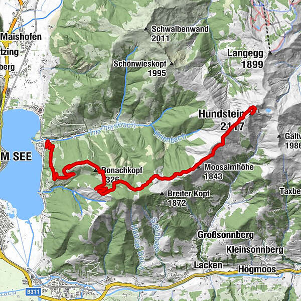
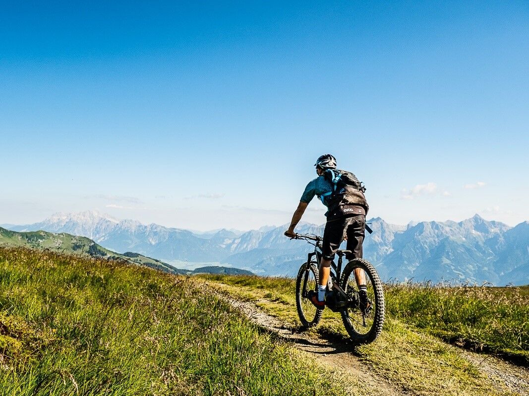
Challenging tour uphill to the Hundstein - Statzerhaus 2.117 m height.
- Difficulty
-
difficult
- Rating
-
- Starting point
-
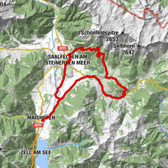
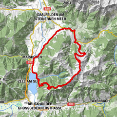
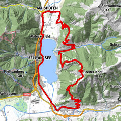
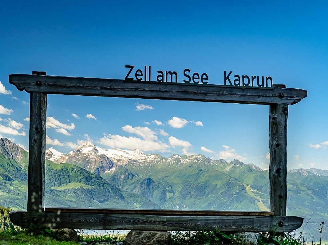
Thumersbach
- Route
-
Thumersbach0.1 kmEnzianhütte4.5 kmMoosalmhöhe (1,843 m)10.9 kmHundstein (2,117 m)14.3 kmStatzerhaus14.3 km
- Best season
-
JanFebMarAprMayJunJulAugSepOctNovDec
- Description
-
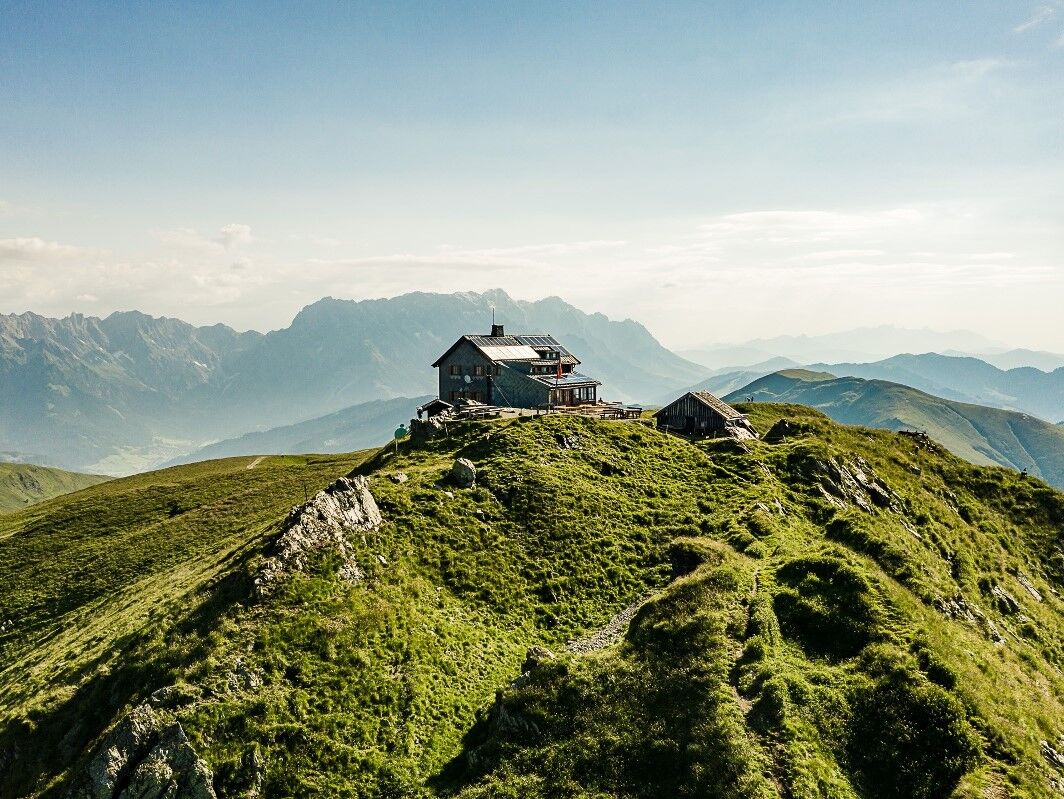
The classic for all bikers is the challening tour uphill to the Hundstein. The Statzerhaus awaits with cool drinks and local delicacies at the finsih. The descent is also possible to Maria Alm. From there via Saalfelden back to Zell am See.
- Directions
-
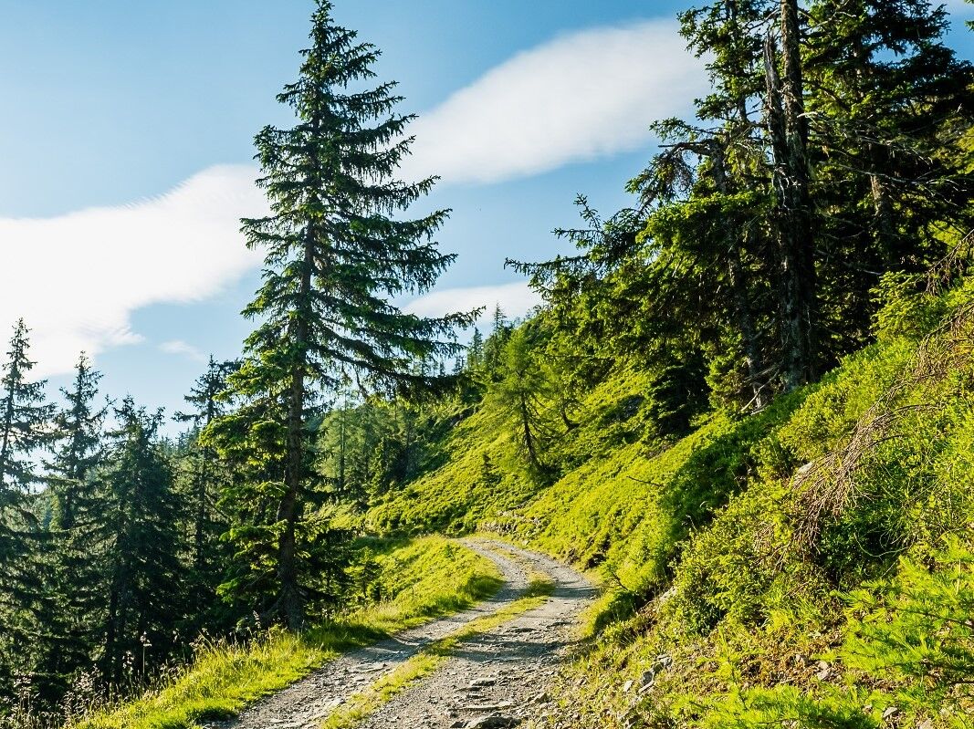
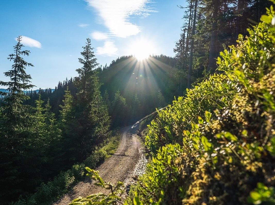
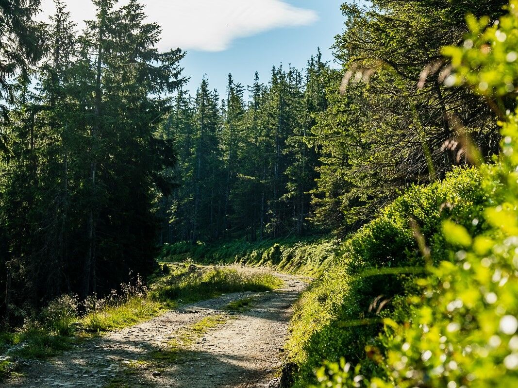
Depart Thumersbach - direction Enzianhütte (1,326 m) Tödlingalm - pass a few hairpin bends below Hahneckkogel - then only slightly uphill to the Ebner Scharte (1,873 m) - Statzerhaus (2,117m)
path marking ZE8
- Highest point
- 2,099 m
- Endpoint
-
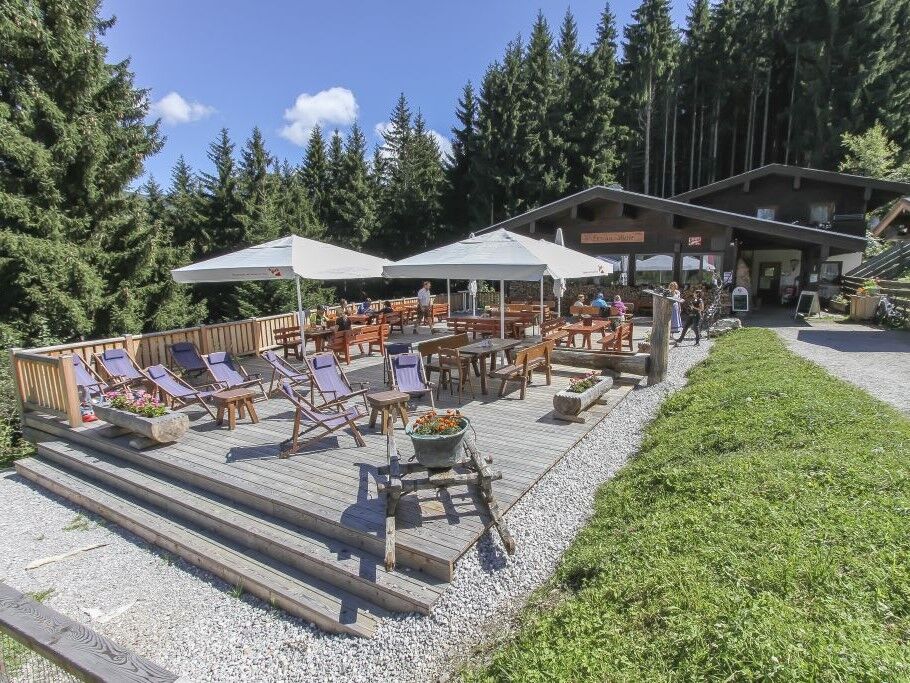
Hunstein - Statzerhaus
- Height profile
-

- Equipment
-
Bike equipment, first aid kit and tire pick kit
- Additional information
-
The Statzerhaus is open from mid June - mid/end September
The Enzian hut is open from beginning of May - end October
- Directions
- Parking
-
Thumersbach parc

-

-
AuthorThe tour MTB-Trail ZE8 Thumersbach-Hundstein is used by outdooractive.com provided.
GPS Downloads


General info
Refreshment stop
Flora
Fauna
A lot of view
Other tours in the regions