- Brief description
-
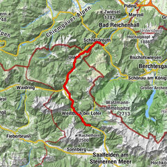
The Saalach becomes more challenging in the St. Martin Gorge.river section B; difficulty: III+
- Difficulty
-
medium
- Rating
-
- Starting point
-
St. Martin - gravel plant (3)
- Route
-
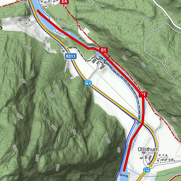
Obsthurn0.2 km
- Best season
-
JanFebMarAprMayJunJulAugSepOctNovDec
- Description
-
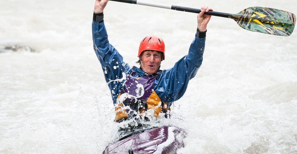
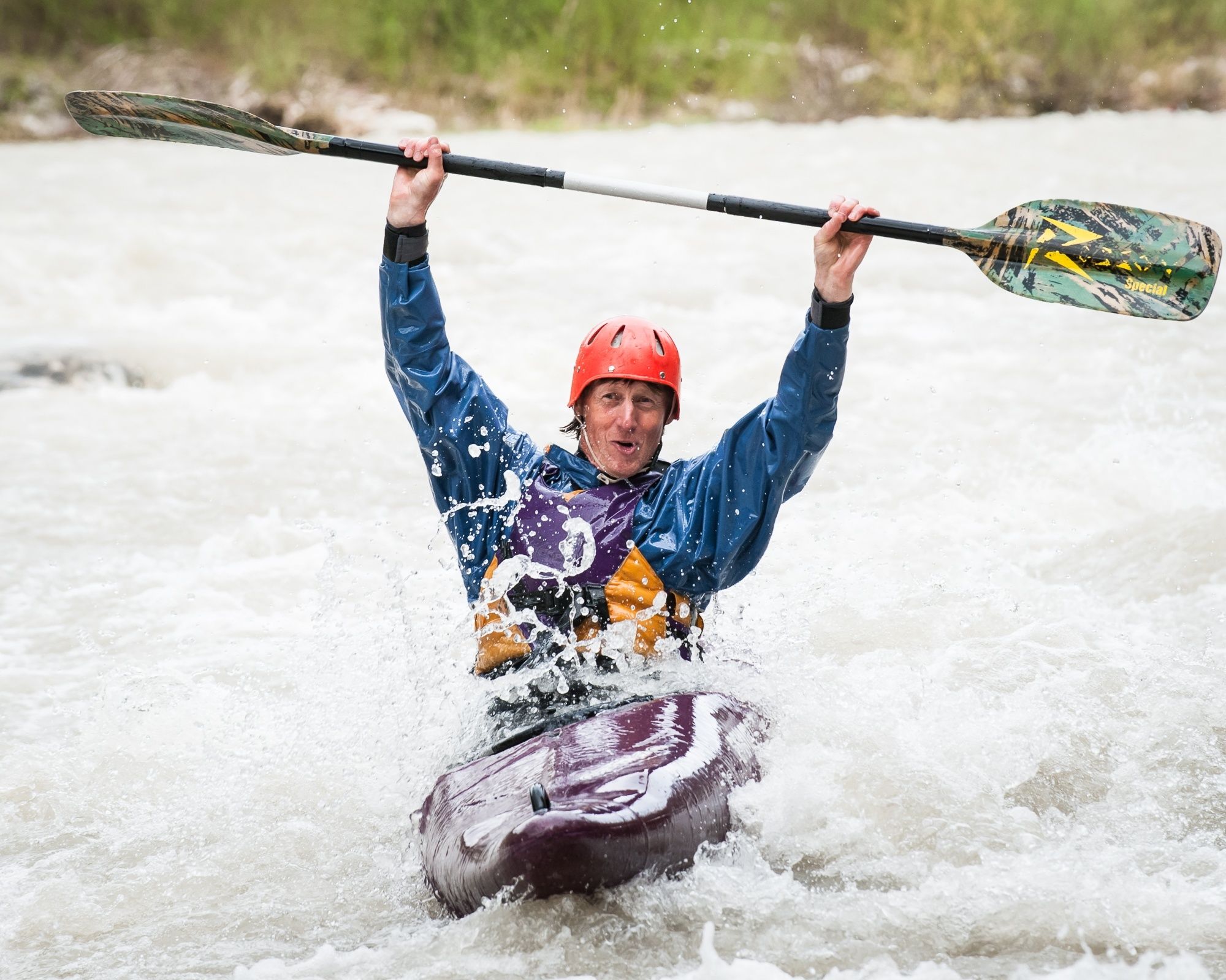
The key passage is the "corkscrew" shortly after the power station house, which reaches the fourth degree depending on the water level. Caution: because of the weir at the gravel works, the water level is usually very low. It is then advisable to embark directly above the corkscrew. After the short gorge, there is a weir with a boat slide. VISIT IT BEFOREHAND. There is a transfer possibility on the left bank.
- Directions
-
Access gravel pit (3) - Obsthurn - power station - exit Wildentalbrücke (4)
- Highest point
- 642 m
- Endpoint
-
St. Martin - Wildentalbrücke (4)
- Height profile
-

- Safety instructions
-
Use all sections of the river at your own risk.The levels of difficulty refer to mean water level.Navigation on the Saalach with inflatable rowing boats is prohibited.The navigation signs (e.g. general prohibition of navigation at power stations, ...) must be observed.
- Additional information
- Directions
-
B311 coming from Lofer: After the village of St. Martin and the 90° degree right-hand bend, the entry point is approx. 100 metres after the bus stop (Obsthurn - Wildenbach) on the right-hand side.
B311 coming from Saalfelden: After Weißbach and the exit Vorderkaserklamm you drive over the "Kleberbrücke". At the end of the straight, the bus stop (approx. 300 metres after the radar) is on the left-hand side).
- Public transportation
- Parking
-
No parking at the boarding point; loading and unloading is allowed.
-

-
AuthorThe tour St. Martin Gorge (III+) is used by outdooractive.com provided.