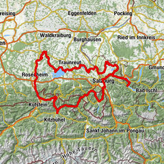
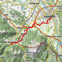
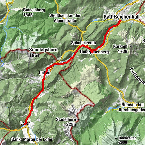
Mozart Cycle Path – Stage 14: Lofer – Bad Reichenhall


- Brief description
-
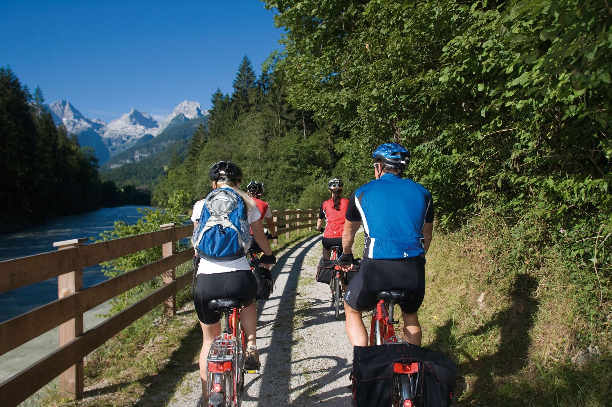
An easy stage which also offers very charming landscape through the Saalachtal valley framed by impressive mountains. The cycle path mostly follows the flow of the Saalach river. The stage’s destination is the well-known spa town of Bad Reichenhall.
- Difficulty
-
easy
- Rating
-
- Starting point
-
Lofer
- Route
-
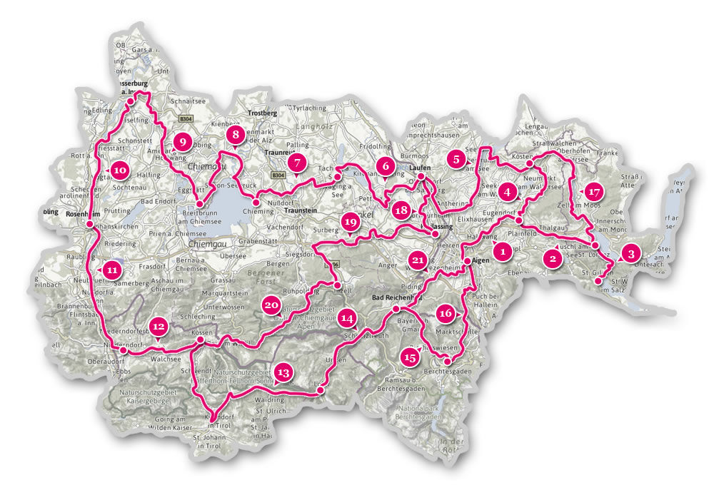
Lofer0.1 kmKreuzkirche Lofer0.1 kmBairau0.9 kmMaurach2.2 kmHallenstein3.8 kmKniepass (554 m)6.4 kmUnken8.8 kmNiederland9.6 kmKeßler12.2 kmSchwaiger13.8 kmHaiderhof14.1 kmSchneizlreuth16.4 kmUnterjettenberg18.7 kmSaalachtal19.3 kmPalfner21.3 kmBad Reichenhall (473 m)25.5 km
- Best season
-
JanFebMarAprMayJunJulAugSepOctNovDec
- Description
-
Lofer – north exit – a separate bike path starts on the right – via the Antonikapelle chapel to the Saalachbrücke bridge (detour 2.5 km ‘Auer round’ to the little Auer church is possible) – fantastic, semi-natural cycle path along the left Saalach riverbank to the Saalachbrücke bridge near Reit – continue straight ahead on the bike path which goes under the federal road at the Kniepass car park – cycle path to the entry to Unken – continue on the low traffic road (bypass tunnel!) through Unken – just before the old Steinpass border crossing, the federal road needs to be crossed again – down to the Saalach – past a gravel pit and a solitary farm – at the state border we have to push our bicycles for a short distance up to the Haiderhof – now we are back on paved roads to the Schneizlreuth bridge – we keep right on the gravel path, the up and down sometimes unclear path (caution is advised when riding on this path) leads us through forests and meadows to Unterjettenberg (alternative route between Schneizlreuth and Fronau: 2 km on the federal road B21) – no crossing until the bicycle underpass at the Schwarzenbachbrücke – back on the other side of the road – over the narrow Saalachbrücke bridge to Fronau – on the left side of the valley, especially along the Saalach reservoir to the valley station of the Predigtstuhlbahn chair lift and Luitpoldbrücke bridge. The main route of the Mozart cycle path leads to the underpass at the start of the Tiroler Straße right up and over Bayerisch Gmain towards Berchtesgaden, it is really worth doing taking a detour via the Tiroler Straße into the town centre. The route of this variant of the Mozart cycle path along the Tauern cycle path directly to Salzburg actually leads through the centre of Bad Reichenhall.
- Highest point
- 630 m
- Endpoint
-
Bad Reichenhall
- Height profile
-

- Additional information
-
SalzburgerLand Tourismus
Wiener Bundesstrasse 23, A-5300 Hallwang
Tel.: + 43 (0)662 6688-0
Fax: + 43 (0)662 6688-66
Berchtesgadener Land Tourismus
Bahnhofplatz 4, D- 83471 Berchtesgaden
Tel.: + 49 (0)8652-65650-0
Fax: + 49 (0)8652-65650-99

- Author
-
The tour Mozart Cycle Path – Stage 14: Lofer – Bad Reichenhall is used by outdooractive.com provided.