Mozart Cycle Path – Stage 05: Köstendorf - Laufen


- Brief description
-
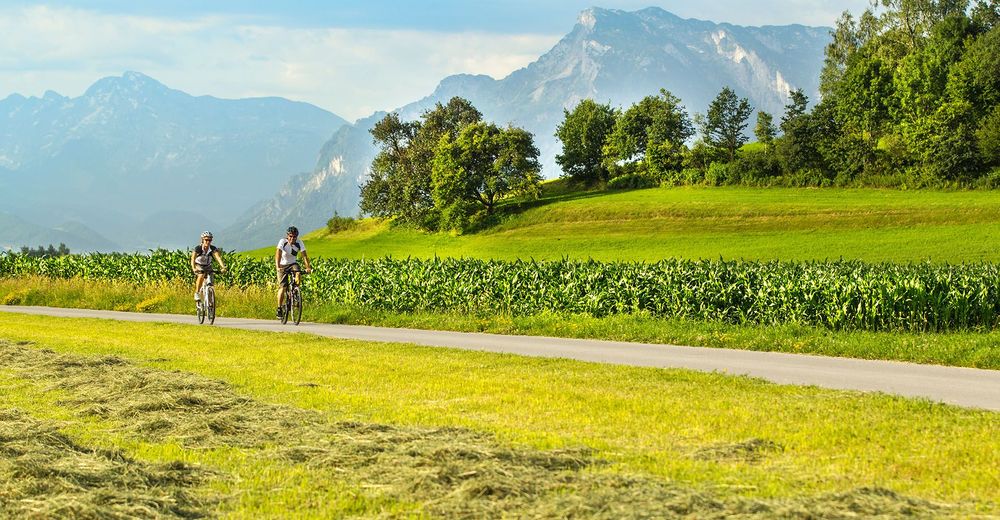
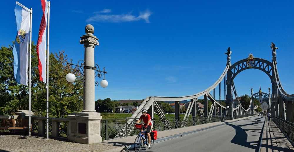
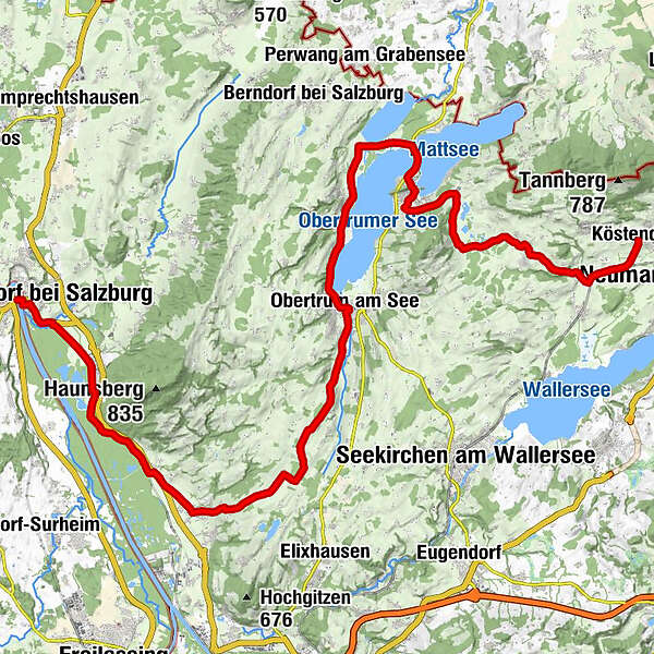
On the way to the Austrian-Bavarian Salzach river bridge between Oberndorf and Laufen, you will find Mattsee, Seeham and Obertrum am See. The lakes here boast the best water quality! When at your destination in Oberndorf, you will not want to miss taking a detour to the Stille Nacht Kapelle (Silent-Night-Chapel)!
- Difficulty
-
medium
- Rating
-
- Starting point
-
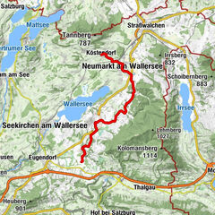
Köstendorf
- Route
-
KöstendorfRestaurant D'AmiciHilgertsheim1.4 kmFischachmühle2.8 kmMauern4.4 kmPfarrkirche Schleedorf zum heiligen Stephan4.6 kmSchleedorf4.6 kmHofwirt4.7 kmMoos5.1 kmPaltingmoos7.4 kmGuglmoos8.0 kmLehen8.7 kmBlick über Mattsee9.8 kmOchsenharing10.5 kmStockwiese10.9 kmMattsee11.3 kmÜberfuhr12.7 kmZellhof13.6 kmFraham14.9 kmGasthaus Grabensee15.0 kmEisenmühle15.5 kmSeeham16.6 kmGröm17.2 kmMatzing17.6 kmSeeleiten18.8 kmStaffl19.4 kmObertrum am See20.4 kmPfarrkirche Obertrum20.6 kmGuten Hirten Kapelle22.0 kmLindenhof22.1 kmWindbichl22.2 kmGrabenmühl22.4 kmKatzelsberg22.4 kmBischelsroid22.9 kmHamberg23.5 kmMödlham24.6 kmHutzing27.0 kmKerbeslehen27.3 kmTrainting27.8 kmHupping28.6 kmBerg28.8 kmAnthering30.4 kmPfarrkirche Anthering30.5 kmGasthaus Voglwirt30.5 kmAcharting32.1 kmUnteracharting32.3 kmPabing36.0 kmOberndorf bei Salzburg39.5 kmLaufen (Salzach)40.3 km
- Best season
-
JanFebMarAprMayJunJulAugSepOctNovDec
- Description
-
Köstendorf – cross the country road going south – downhill after Fischachmühle – then, from here, uphill to Schleedorf – Egelseen – a short stretch of country road downhill to Mattsee – take the north exit – cycle path in a northern direction – to the left, a cycle path towards Zellhof – Fraham – cycle path to Seeham – Matzing – cycle path on the banks of Lake Obertrumer See to Obertrum – take a right at the Braugasthof – cycle slightly uphill on side roads towards Mödlham – Hützing – Berg – steep descent into Anthering – in the village, stay on the right to Archating, cross the federal road and continue on to Weitwörth – there is a 3 km cycle path which runs along the local railway to Oichtensiedlung – take the cycle path along the federal road to Oberndorf and then over the historic Salzach bridge to Laufen.
- Highest point
- 614 m
- Endpoint
-
Laufen
- Height profile
-

- Additional information


- Author
-
The tour Mozart Cycle Path – Stage 05: Köstendorf - Laufen is used by outdooractive.com provided.