Tour data
18.08km
822
- 936m
230hm
224hm
01:40h
- Brief description
-
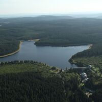
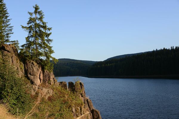
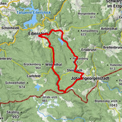
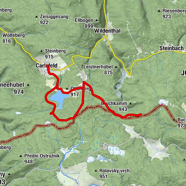
Tour über Mauerkrone der höchstgelegenen Trinkwassertalsperre Deutschlands (Mauerkrone in 905 m ü. NN) und entlang der deutsch-tschechische Grenze auf dem Erzgebirgskamm
- Difficulty
-
easy
- Rating
-
- Route
-
Carlsfeld0.1 kmEvangelisch-Methodistische Kirche Carlsfeld0.2 kmGaststätte und Pension Gasthaus Talsperre0.8 kmAuersbergblick9.7 kmGaststätte und Pension Gasthaus Talsperre17.2 kmEvangelisch-Methodistische Kirche Carlsfeld17.7 kmCarlsfeld17.9 km
- Best season
-
JanFebMarAprMayJunJulAugSepOctNovDec
- Highest point
- 936 m
- Endpoint
-
Touristinfo (Ortsmitte)
- Height profile
-
© outdooractive.com
- Author
-
The tour Talsperrenrunde Carlsfeld is used by outdooractive.com provided.
GPS Downloads
General info
Cultural/Historical
Other tours in the regions
-
Vogtland / Sachsen
34
-
Erzgebirge
48
-
Carlsfeld
18


