© Tourismus Zentrale Saarland, Marcus Gloger

© Tourismus Zentrale Saarland, Eike Dubois

© Tourismus Zentrale Saarland, Eike Dubois

© Tourismus Zentrale Saarland, Markus Gloger

© Tourismus Zentrale Saarland - Eike Dubois

© Tourismus Zentrale Saarland, Marcus Gloger

© Tourismus Zentrale Saarland, Eike Dubois

© TZS - Manuela Meyer

© Manuela Meyer

© Manuela Meyer

- Brief description
-
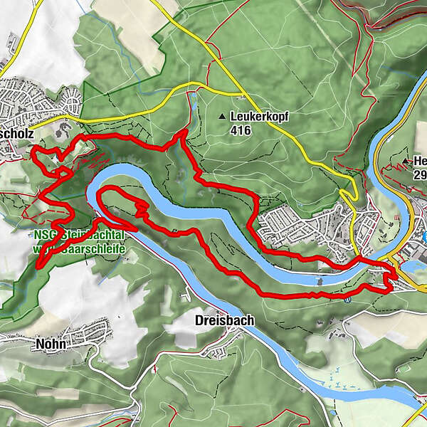
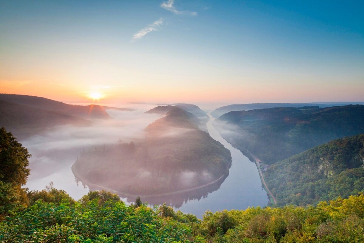
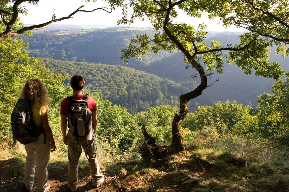
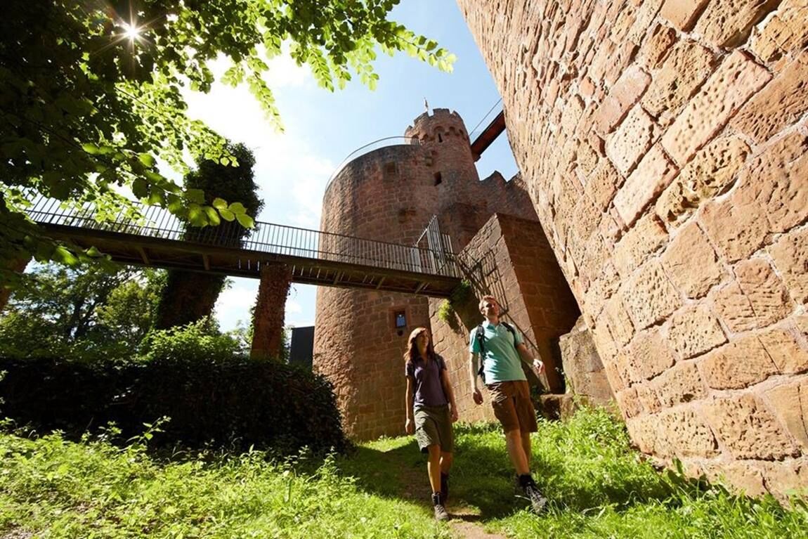
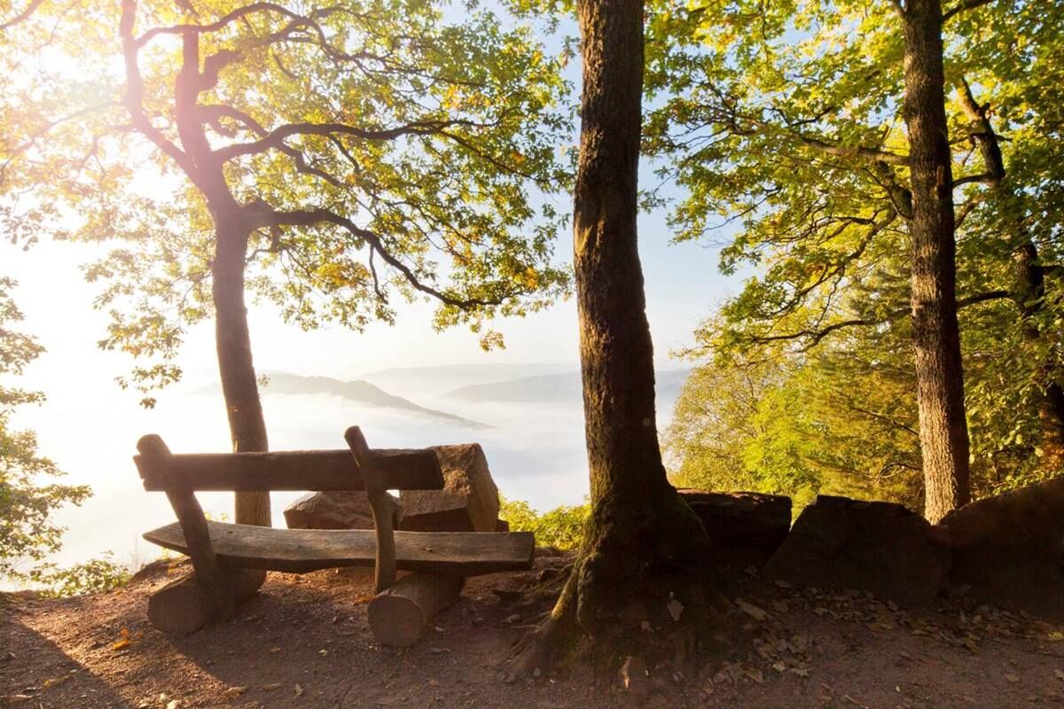
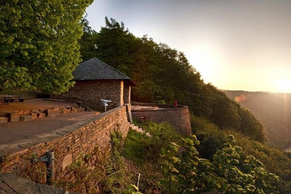
On this tour you hike along river valleys and mountain paths through the nature reserve to high Medieval Castle Montclair . The lookout Cloef offers you a magnificent view of the Saar loop and the spectacular scenery .
- Difficulty
-
difficult
- Rating
-
- Starting point
-
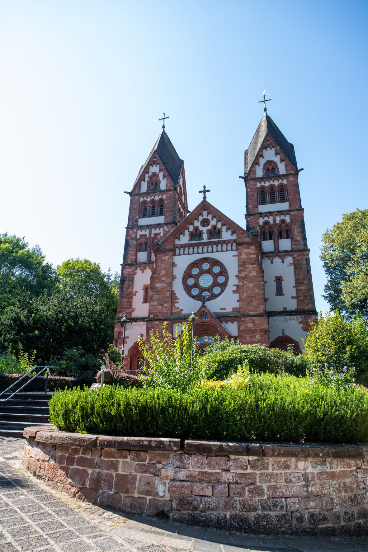
Parish chucrh St. Lutwinus; Freiherr-vom-Stein-Straße, 66693 Mettlach
- Route
-
Mettlach (175 m)0.0 kmSt. Lutwinus0.1 kmFähre Welles5.6 kmFähre Welles5.9 kmSaarschleife / Cloef9.1 kmOrscholz9.9 kmAussicht auf Burg Montclair12.6 kmAussicht auf die Cloef und die Saar14.2 kmKeuchingen15.8 kmMettlach (175 m)16.3 km
- Best season
-
JanFebMarAprMayJunJulAugSepOctNovDec
- Highest point
- 385 m
- Endpoint
-
Pfarrkirche St. Lutwinus; Freiherr-vom-Stein-Straße, 66693 Mettlach
- Height profile
-
 © outdooractive.com
 - Safety instructions
-
Please note:
Entering the forest and using the hiking trails is always at one’s own risk.
Depending on season and weather individual legs of hiking trails require a particularly sure foot. Therefore, please make sure to wear hiking shoes with rugged soles for traction and clothes that are appropriate for the respective season and weather conditions.


- Author
-
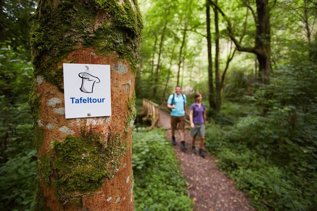
The tour Saarschleife Tafeltour is used by outdooractive.com provided.
GPS Downloads


General info
Refreshment stop
Cultural/Historical
Flora
A lot of view
Other tours in the regions
-
Saar-Obermosel
504
-
Mettlach
69


")