

© Tourismusverband Radstadt/Markus Rohrbacher - Markus Rohrbacher
© Tourismusverband Radstadt

© Tourismusverband Radstadt/Markus Rohrbacher - Markus Rohrbacher

- Brief description
-
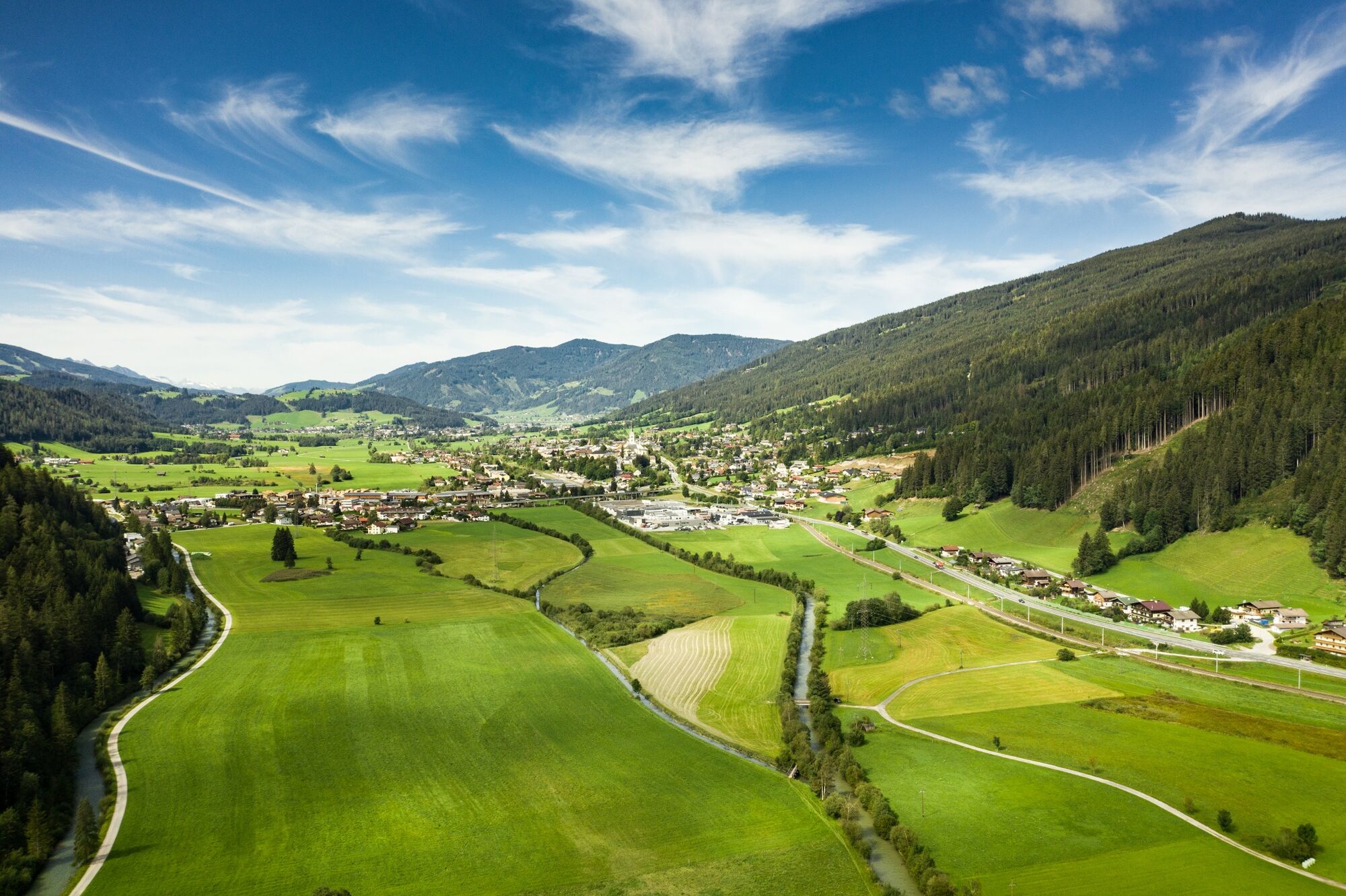
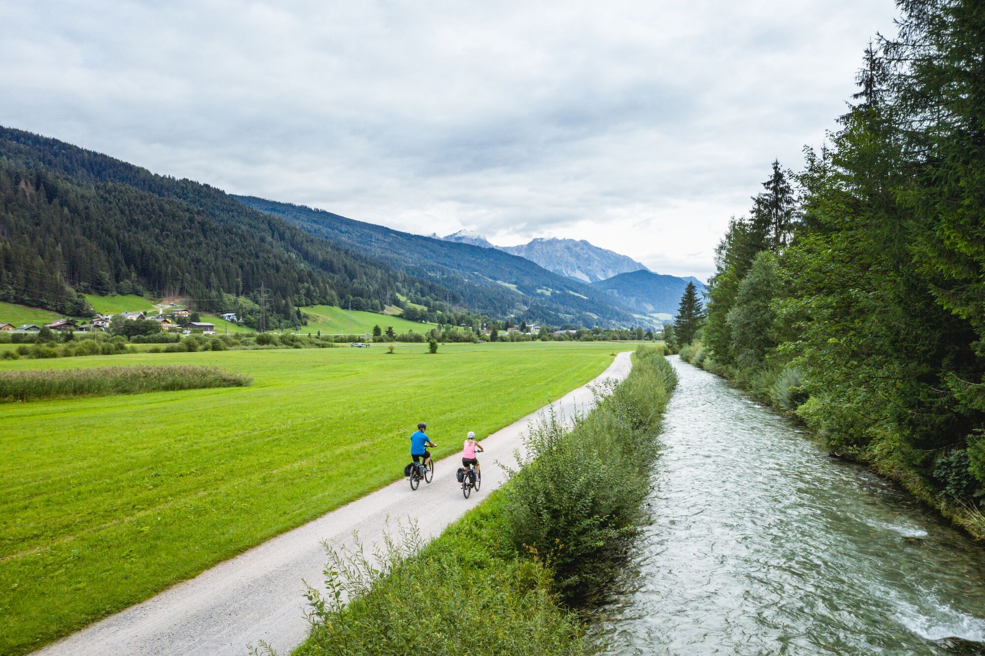
Comfortable hike on the valley floor, also suitable for baby buggies and therefore suitable for families.
- Difficulty
-
easy
- Rating
-
- Starting point
-
post office Radstadt
- Route
-
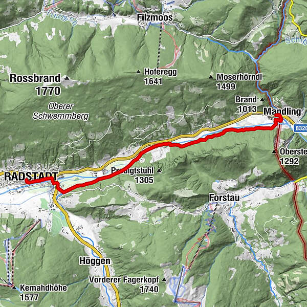
Radstadt (858 m)0.2 kmRadstadt0.5 kmMandling10.1 kmDas Geringer10.2 km
- Best season
-
JanFebMarAprMayJunJulAugSepOctNovDec
- Directions
-
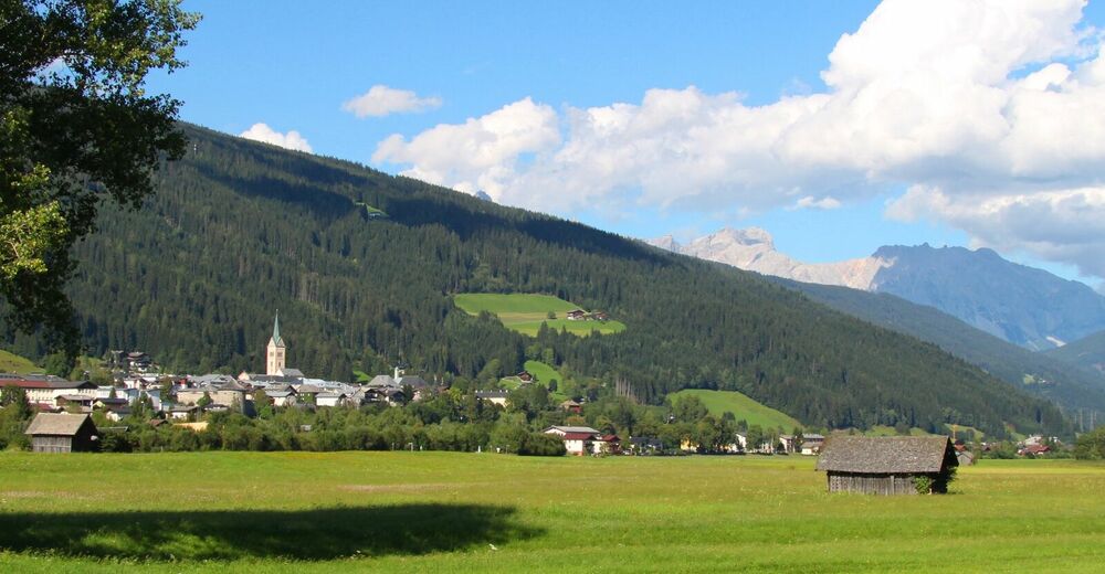
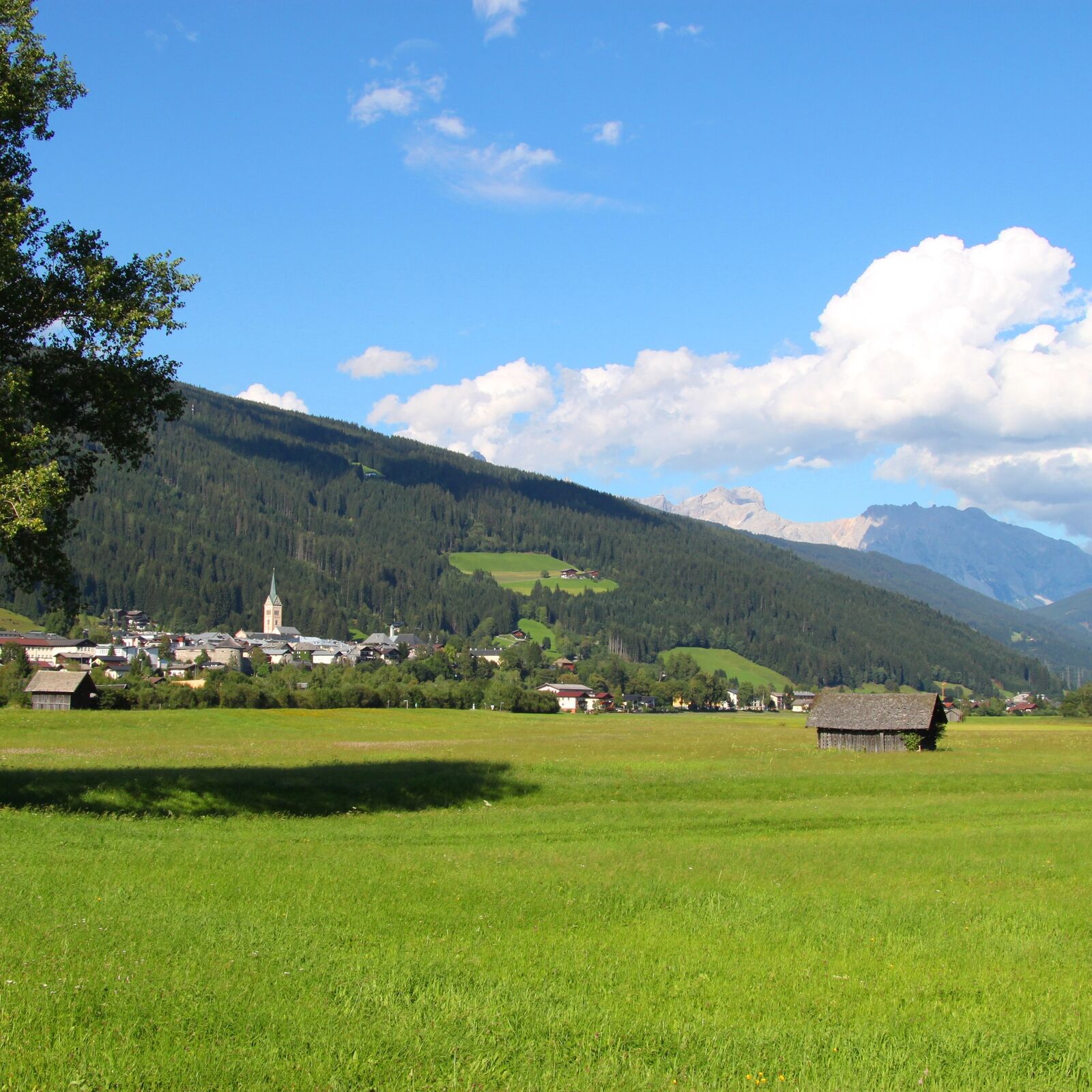
From the post office you descend half the Moosbühel to the "Hexenturm". There you turn left and walk along the southern city wall to the train station and on to Tauernstraße. Follow this street until the Ziegelbrennerstraße branches off to the left after the railway crossing and the Enns. You follow the Ziegelbrennerstraße to the Taurachbrücke and there you turn left into the forest path. You walk along the two rivers Taurach and Enns to reach the next town, Mandling (9 km).
This path is also great for cycling (“Enns cycle path”) and leads past quarries, gravel pits and scenic spots. It also provides pleasant shade on hot summer days.
- Highest point
- 848 m
- Endpoint
-
Mandling
- Height profile
-

- Equipment
-
In our hiking test center in Radstadt you can rent and test hiking shoes, hiking poles, backpacks and child carriers. With the guest card, the first day is free.
- Parking
-
You can park in Radstadt directly at the city pond, from there it is about 50 m to the post office.
-

-
AuthorThe tour Enns path to Mandling is used by outdooractive.com provided.
GPS Downloads


Other tours in the regions
-
Schladming - Dachstein
3001
-
Ramsau am Dachstein
1689
-
Forstau
621


