© © Maison du Parc du Luberon

© © Maison du Parc du Luberon

© © Maison du Parc du Luberon

© © Maison du Parc du Luberon

© © Maison du Parc du Luberon


- Brief description
-
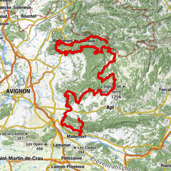
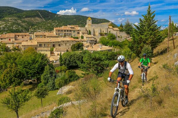
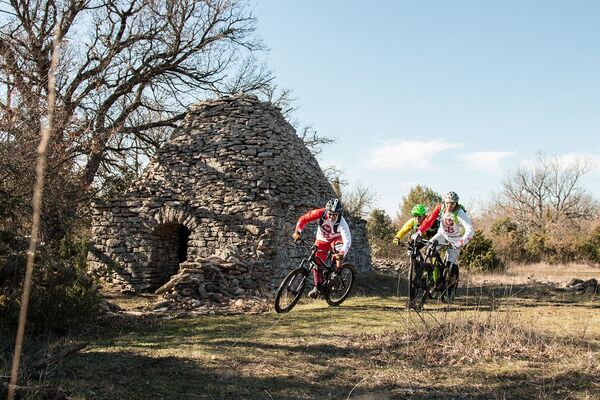
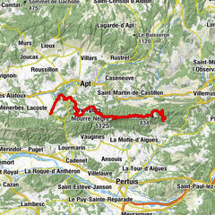
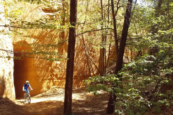
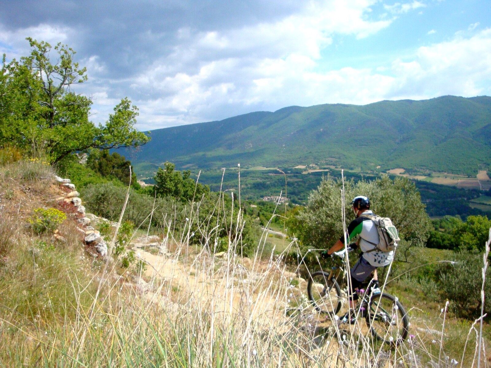
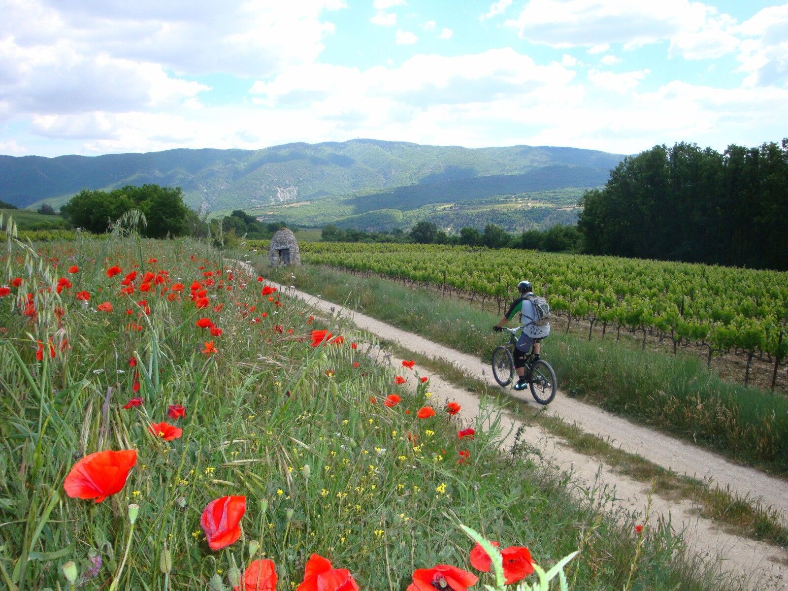
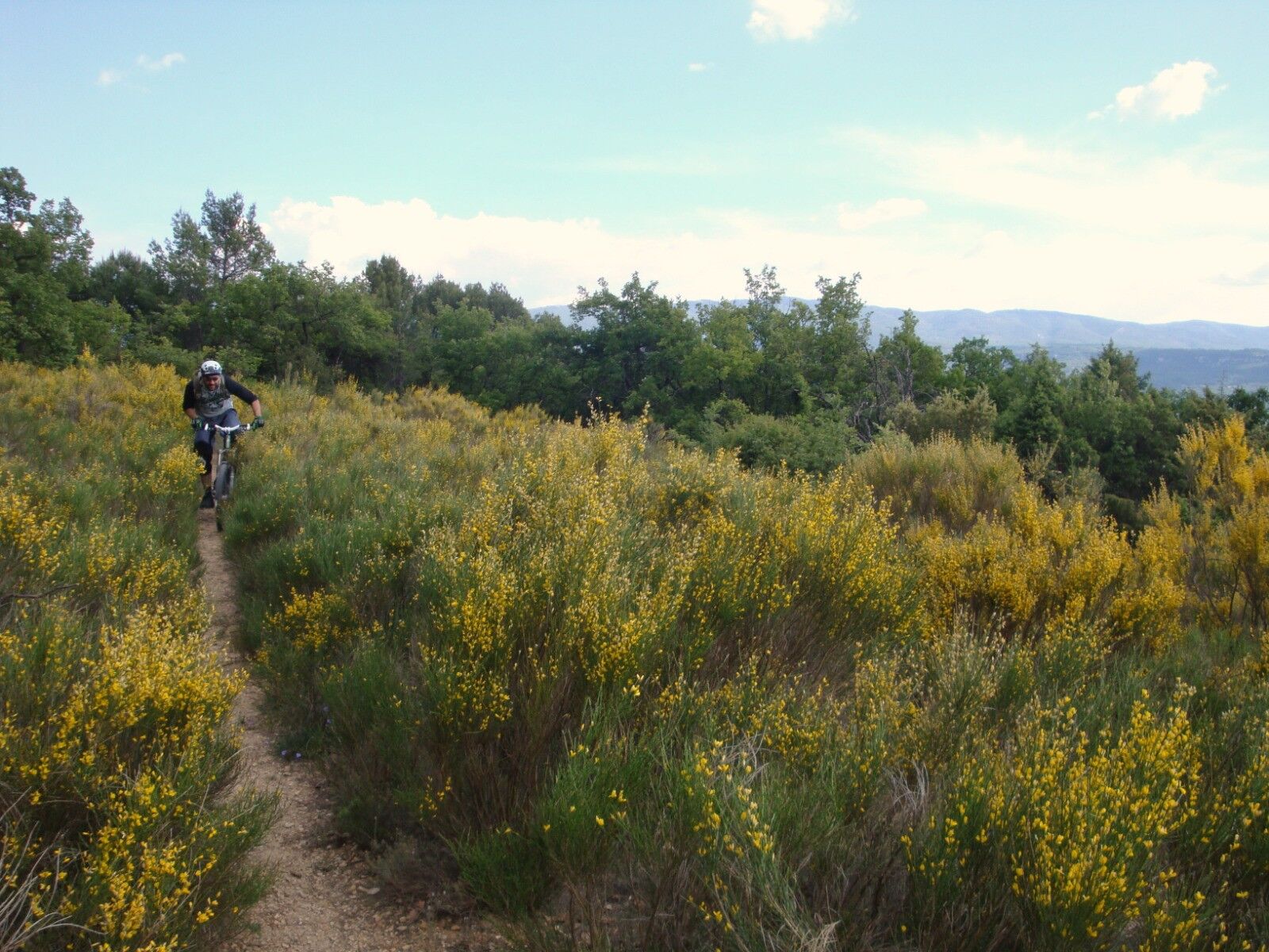
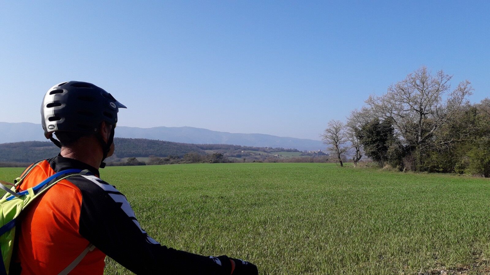
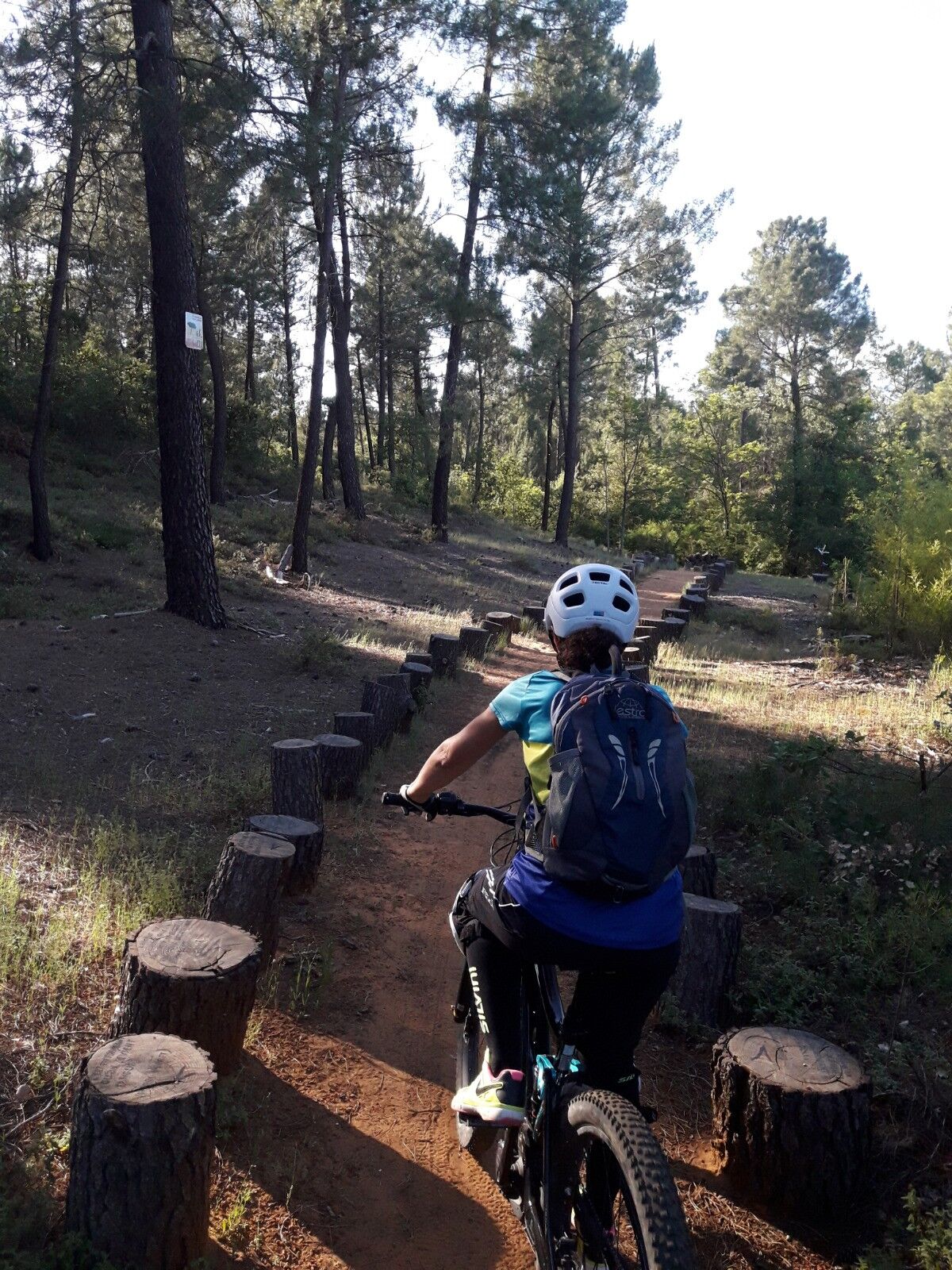
A fairly rolling mountain bike route linking two beautiful Luberon hilltop villages.
- Difficulty
-
difficult
- Rating
-
- Route
-
Église Notre-Dame-des-Aumades5.9 kmSaint-Martin-de-Castillon10.6 kmCaseneuve22.1 kmLe Sanglier Paresseux22.1 km
- Best season
-
JanFebMarAprMayJunJulAugSepOctNovDec
- Highest point
- 573 m
- Endpoint
-
Parking du Fangas - Saignon
- Height profile
-
 © outdooractive.com
 - Additional information
-
APIDAE tourism data updated on 02/03/2022 by "Office de Tourisme Intercommunal Pays d’Apt Luberon".
Spotted an error? Write to the owner with the following information:
File name: VTT n°57 - Le plateau de Caseneuve | Record identifier: 5615303 | URL (link) for this Outdooractive page.
- Author
-
The tour MTB N° 57 - The plateau of Caseneuve is used by outdooractive.com provided.
GPS Downloads


Other tours in the regions
-
Vaucluse
99
-
Pays d'Apt-Luberon
69