© © Maison du Parc du Luberon

© © Maison du Parc du Luberon

© © Maison du Parc du Luberon

- Brief description
-
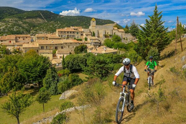
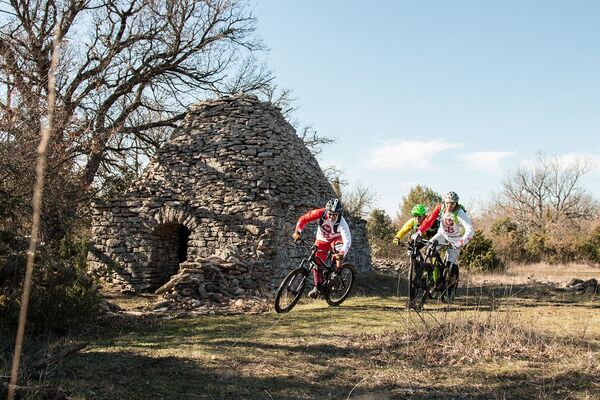
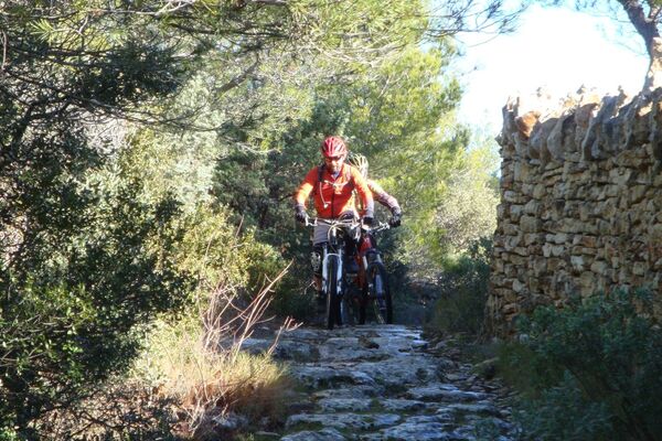
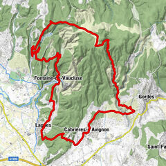
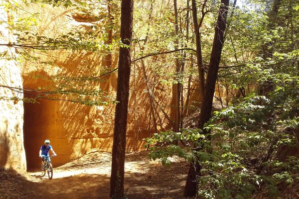
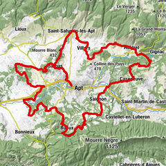
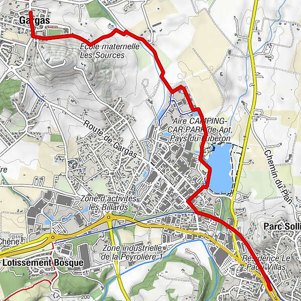
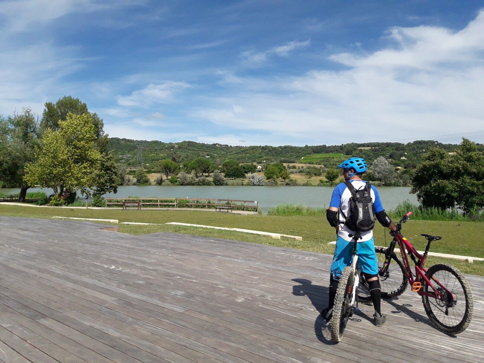
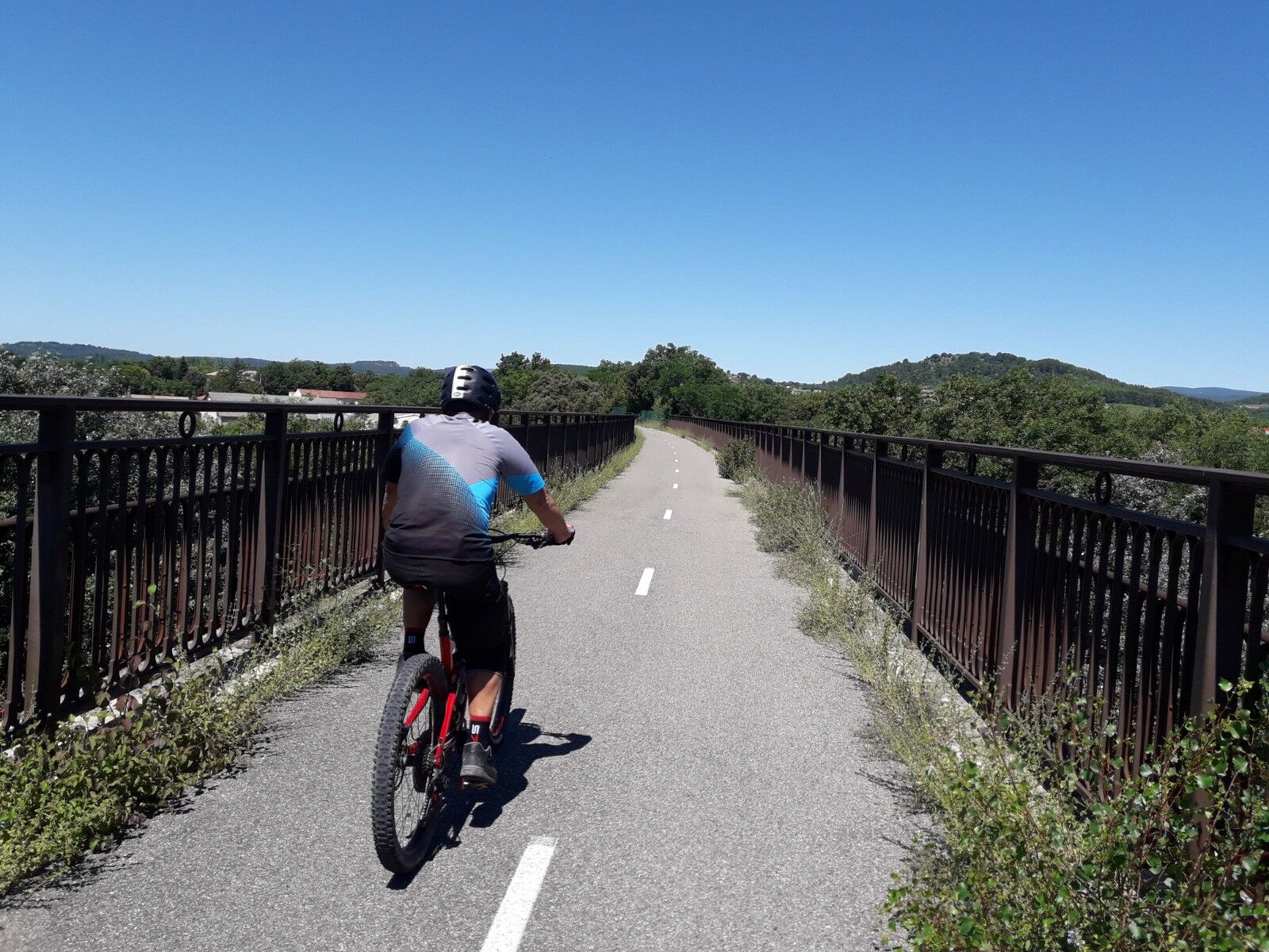
Itinerary linking the town of Apt and the village of Gargas, or vice versa (signposted in both directions), via the Plan d'Eau de La Riaille and the Calavon cycle route (EV8).
- Difficulty
-
easy
- Rating
-
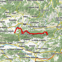
- Route
-
AptRestaurant le pied dans l'eau1.6 kmLa Paillote1.8 kmGargas4.3 km
- Best season
-
JanFebMarAprMayJunJulAugSepOctNovDec
- Highest point
- 281 m
- Endpoint
-
Office de tourisme (Apt) ou devant La Poste (Gargas)
- Height profile
-
 © outdooractive.com
 - Additional information
-
APIDAE tourism data updated on 14/09/2021 by "Office de Tourisme Intercommunal Pays d’Apt Luberon".
Spotted an error? Write to the owner with the following information:
File name: VTT n°63 - Apt_Gargas liaison | Record identifier: 5615106 | URL (link) for this Outdooractive page.

- Author
-
The tour MTB no.63 - Apt_Gargas connection is used by outdooractive.com provided.
GPS Downloads


Other tours in the regions
-
Vaucluse
99
-
Pays d'Apt-Luberon
69