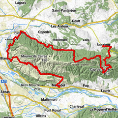
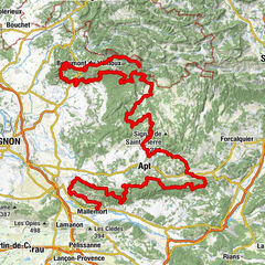
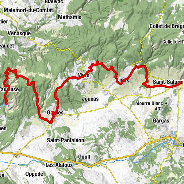
Vaucluse Long Distance Mountain Bike trail . Stage 8 - A : St-Saturnin-les-Apt > Murs > Fontaine-de-Vaucluse

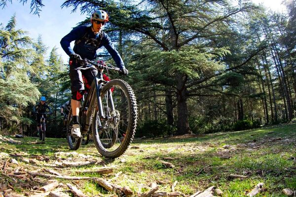
Mountainbike
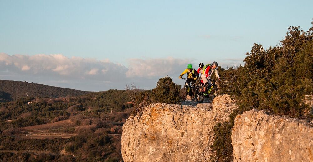
© VTT Mag

© VTTMag

- Brief description
-
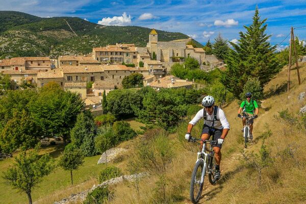
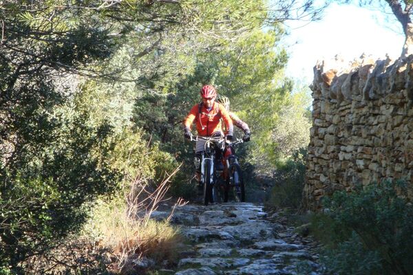
Itinerary in the heart of the Monts de Vaucluse featuring a succession of cliffs, limestone valleys, scrubland etc. The stage continues through Gordes, one of the most beautiful villages in France, before following a single-track trail to the freshness of Sorgues in Fontaine-de-Vaucluse.
- Difficulty
-
medium
- Rating
-
- Route
-
Saint-Saturnin-lès-Apt0.4 kmLes Voyageurs0.5 kmL'Estrade0.6 kmLes Blanchards2.2 kmLa Garrussière (332 m)3.9 kmFont-Jouvale8.1 kmÉglise Saint-Romain11.5 kmLioux11.5 kmLa Combe12.8 kmLes Beylons20.0 kmMurs21.9 kmLe Crillon21.9 kmGordes29.3 kmFontaine-de-Vaucluse51.3 km
- Best season
-
JanFebMarAprMayJunJulAugSepOctNovDec
- Description
-
After a smooth start, a road climb leads you a route that passes under the impressive Madeleine cliff that overhangs the village of Lioux. This is followed by an abrupt ascent via track and road to Murs.
The route then alternates between paths and bucolic roads to reach the famous village of Gordes. After this comes a steep ascent on a beautiful path, then a long descent following tracks in a crude landscape of limestone and stones, leading you above the Fontaine-de-Vaucluse. - Highest point
- 660 m
- Endpoint
-
Fontaine-de-Vaucluse
- Height profile
-
 © outdooractive.com
 - Additional information
-
APIDAE tourism data updated on 13/05/2022 by "Vaucluse Provence Attractivité".
Spotted an error? Write to the owner with the following information:
File name: Grande Traversée de Vaucluse en VTT. Etape 8 A - St-Saturnin-les-Apt > Murs > Fontaine-de-Vaucluse | Record identifier: 4830218 | URL (link) for this Outdooractive page.


- Author
GPS Downloads


Other tours in the regions