© Region Hohe Tatra - Monika Kromkova
- Route
-
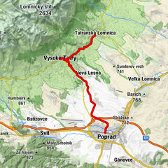
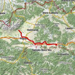
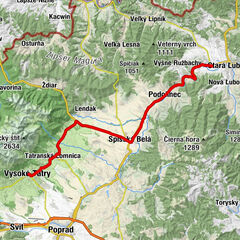
AltschmecksHohe Tatra (853 m)Deutschendorf (687 m)10.9 kmPusté pole17.4 kmZa sypaň17.9 kmKu šmýkancu25.8 kmStenix26.1 kmPIZZA HOUSE26.4 kmDonnersmark (521 m)27.3 kmStrelník29.1 kmsvätého Vavrinca32.7 kmKabsdorf (550 m)32.8 kmPoniklec35.3 kmRanč Podlesok35.9 km
- Description
-
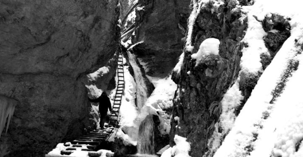
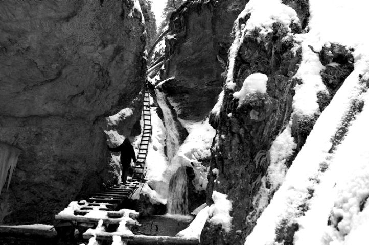
In the northernmost part of the mountain range of Slovenské rudohorie, between Spišská Nová Ves, Hranovnica and Dobšiná, there is a limestone mountain range that was named Slovak Paradise. It is an intended karst territory with many gorges, passes, narrow valleys, canyons and preserved plains that are rich in karst forms. There are ladders, bridges and benches in passes to make them accessible. Access from Podlesok or Čingov.
- Highest point
- 1,015 m
- Height profile
-
 © outdooractive.com
- Author
-
The tour Slovak paradise is used by outdooractive.com provided.
GPS Downloads


Other tours in the regions
-
Poprad
97