- Difficulty
-
easy
- Rating
-
- Route
-
Hučava9.0 kmHöhlenhain9.2 kmKoliba9.2 kmU furmana9.3 km
- Description
-
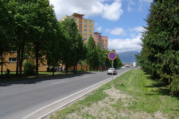
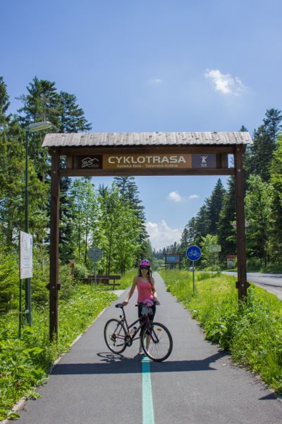
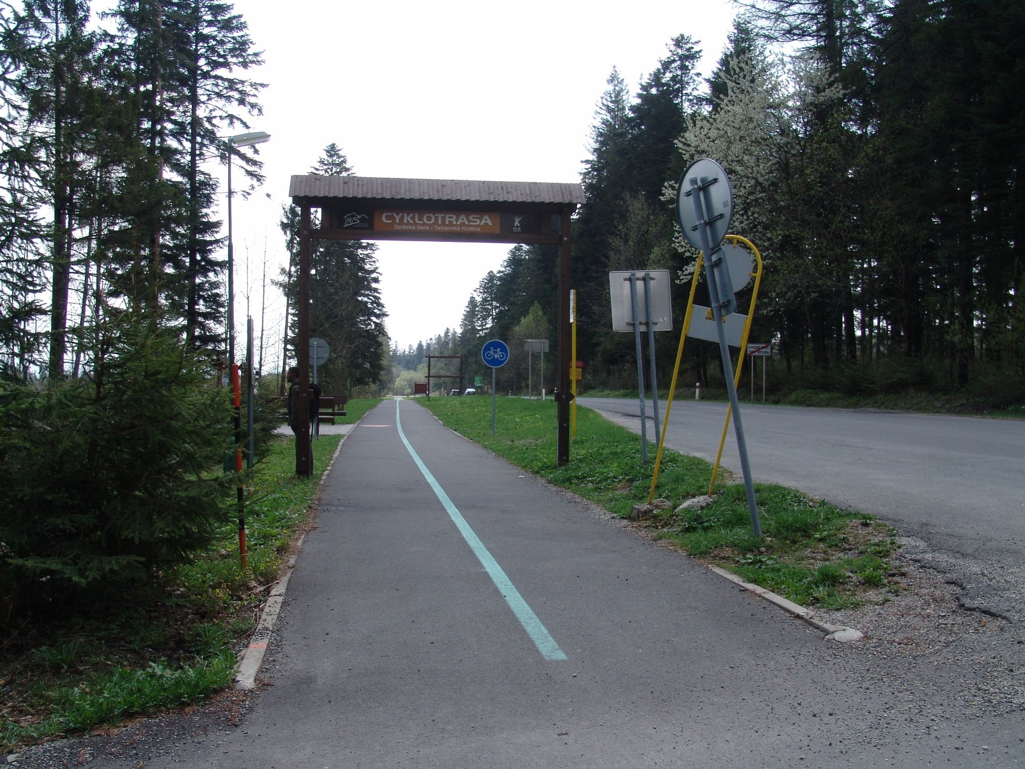
CYCLE ROUTE OF SPIŠSKÁ BELÁ
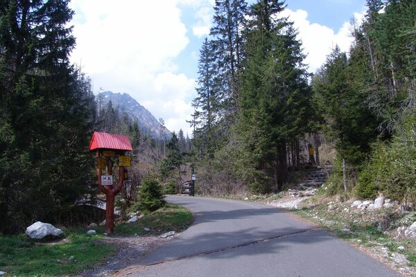
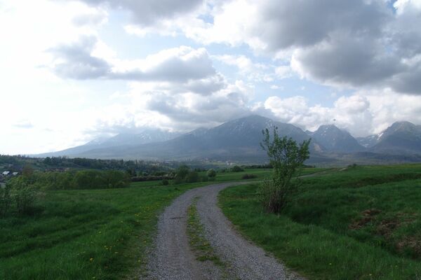
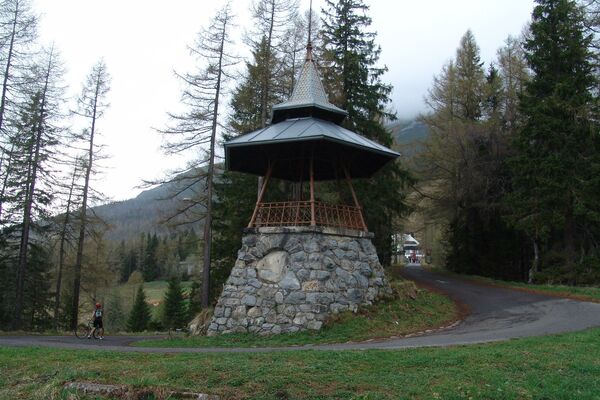
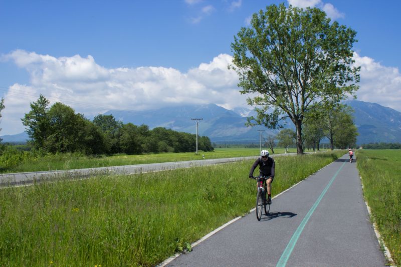
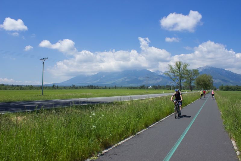
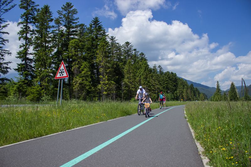
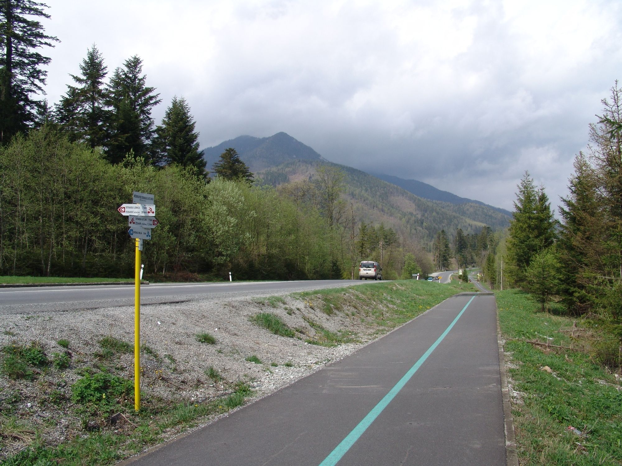
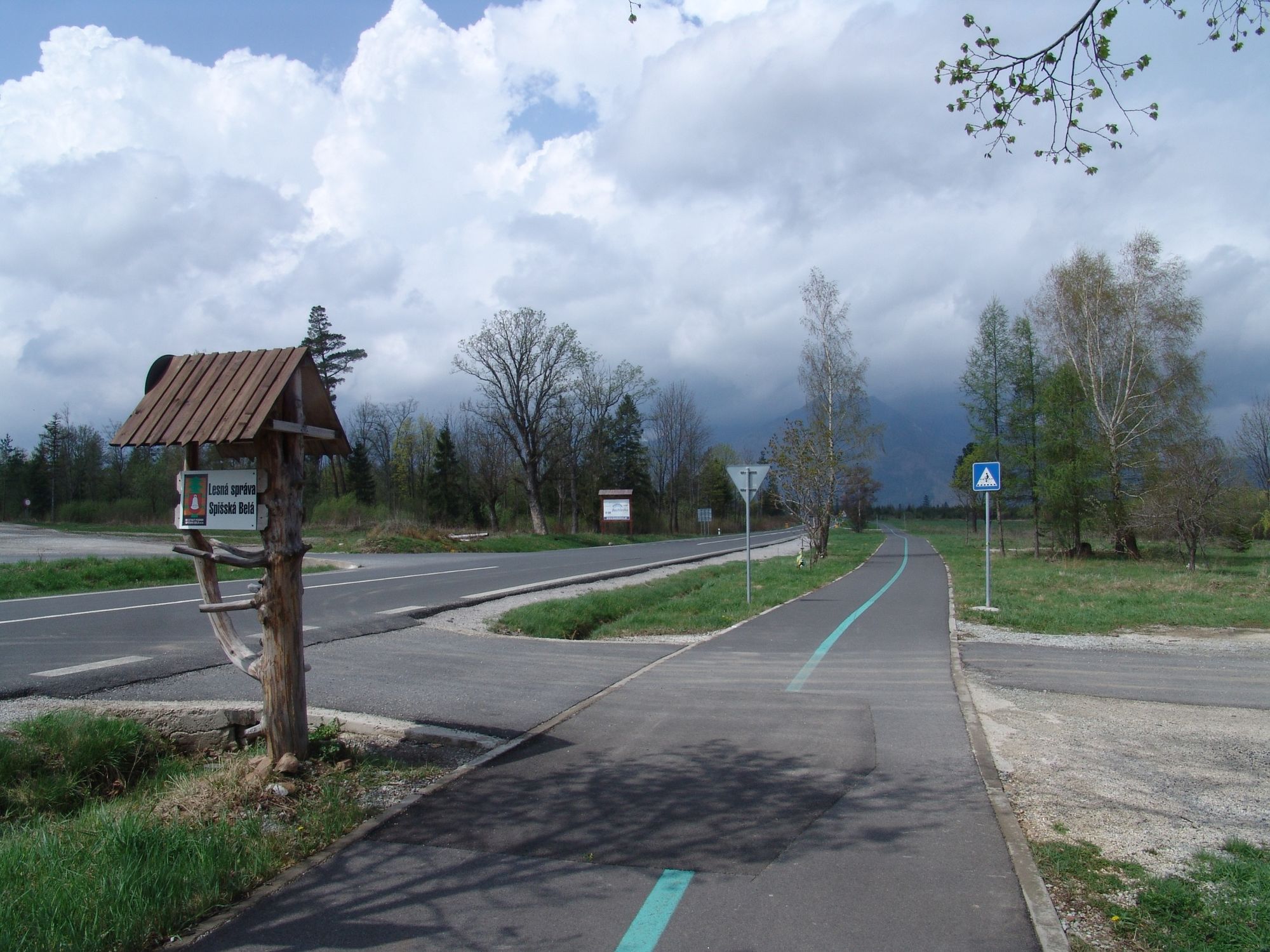
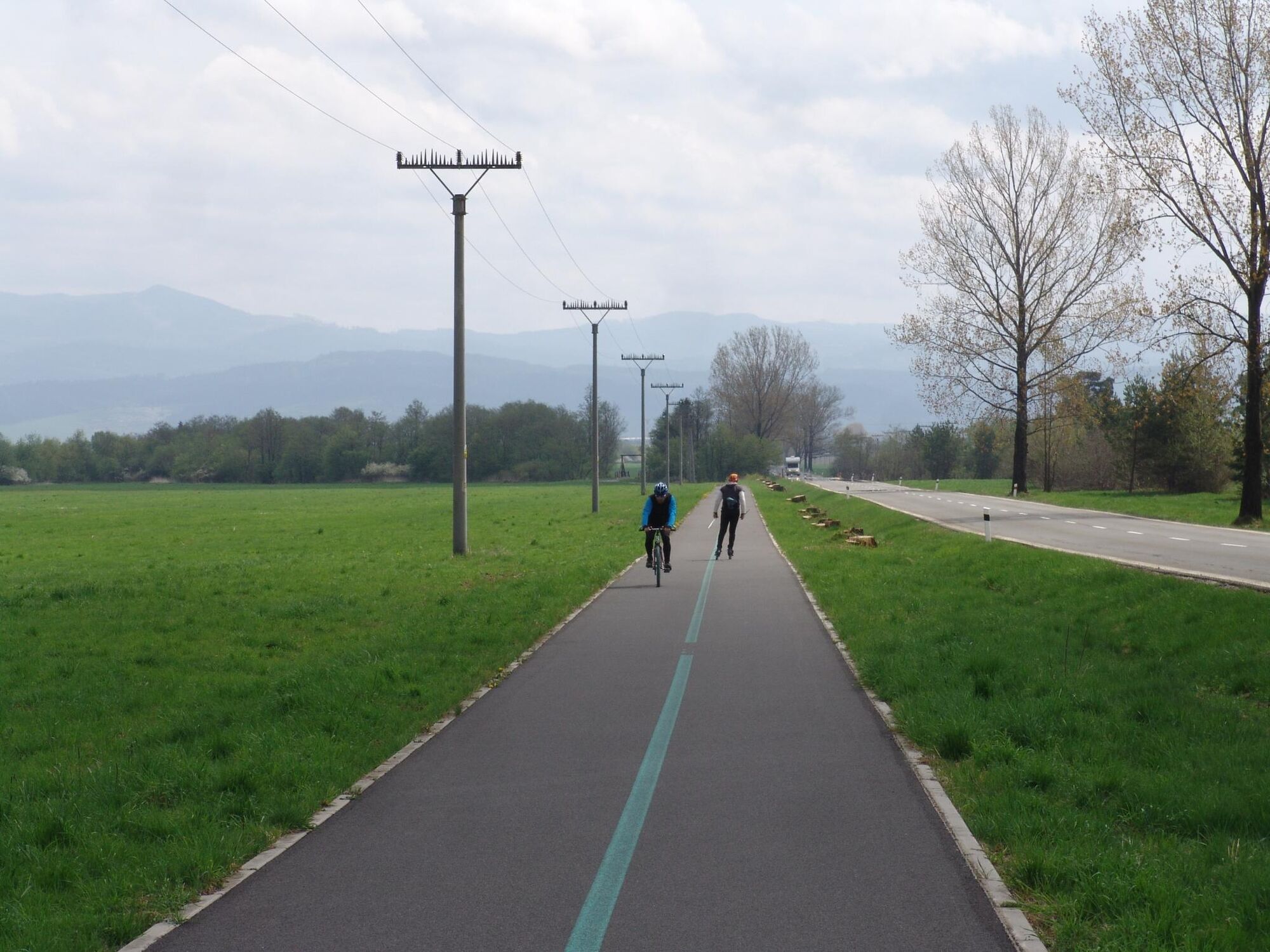
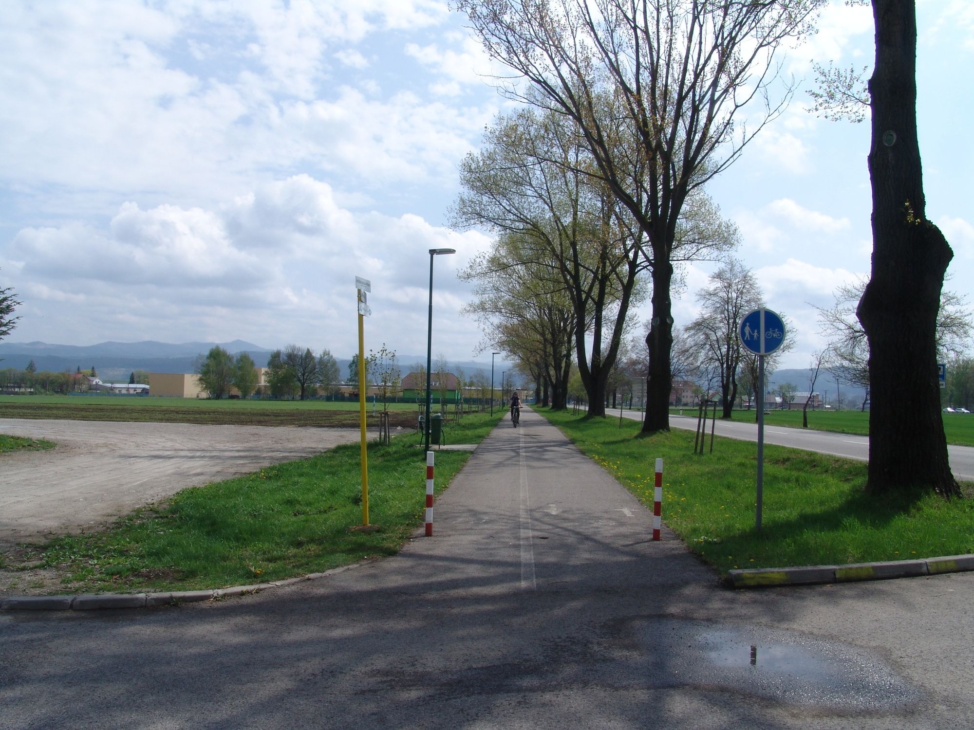
A cycle route that begins at the end of the town in the direction of the village of Ždiar, next to Belanský rybník (pond). A moderate and regular ascent opens a view of the majestic ridge of the High and Belianske Tatra Mts. Information boards located at gazebos inform about the area around. Children can recharge their batteries here and you will learn how far the end pf the route is and what to expect there. At the 7th kilometre, there is a real sheep farm where a shepherd will tell you how sheep cheese is produced or let you taste some boiled sheep whey. The route continues to the village of Tatranská Kotlina, it is quite flat and will take you up to Belianska jaskyňa, the only cave in the High Tatras open to the widepublic.
- Highest point
- 777 m
- Endpoint
-
Tatranská Kotlina
- Height profile
-
 © outdooractive.com


- Author
-
Region Hohe TatraThe tour 2887 - Spišská Belá - Tatranská Kotlina is used by outdooractive.com provided.


-
Poprad
17
-
Bachledka - Ždiar
5