© Region Hohe Tatra - Slavomir Krestian
© Region Hohe Tatra - Slavomir Krestian
© Region Hohe Tatra - Slavomir Krestian
© Region Hohe Tatra - Slavomir Krestian
Tour data
8.41km
723
- 999m
65hm
258hm
00:35h
Region Hohe Tatra
- Difficulty
-
medium
- Rating
-
- Starting point
-
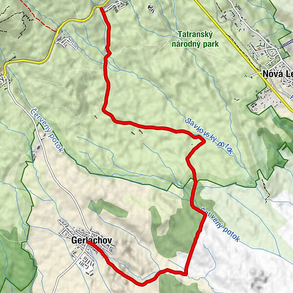
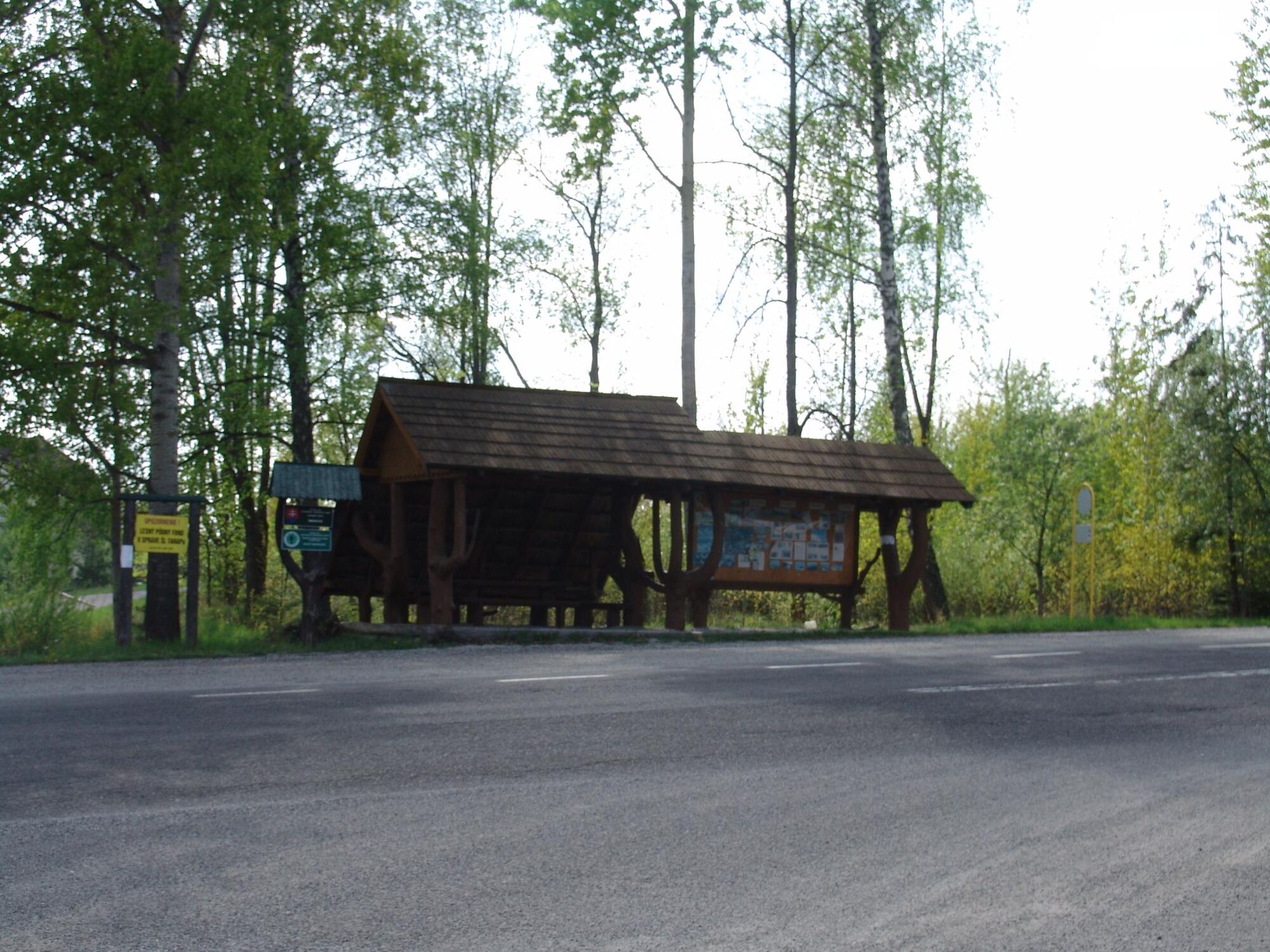
Sibír
- Route
-
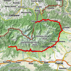
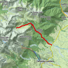
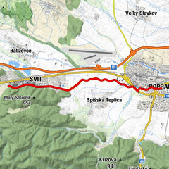
Hohe Tatra (853 m)Hájenka Žákovská3.4 kmGerlsdorf (329 m)8.3 km
- Description
-
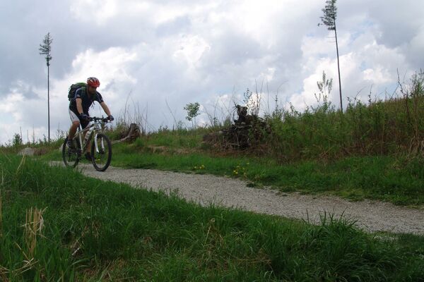
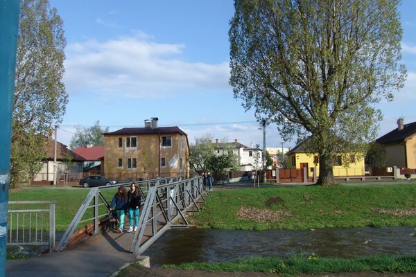
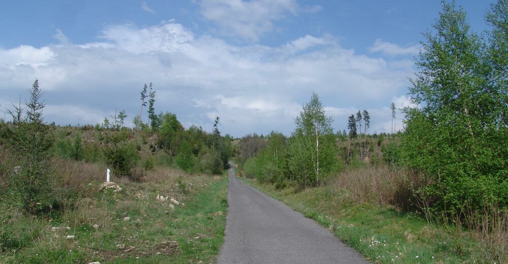
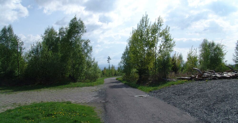
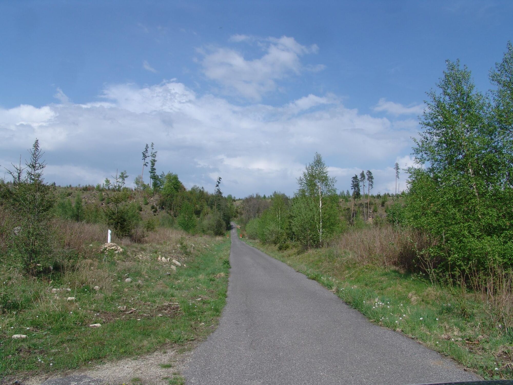
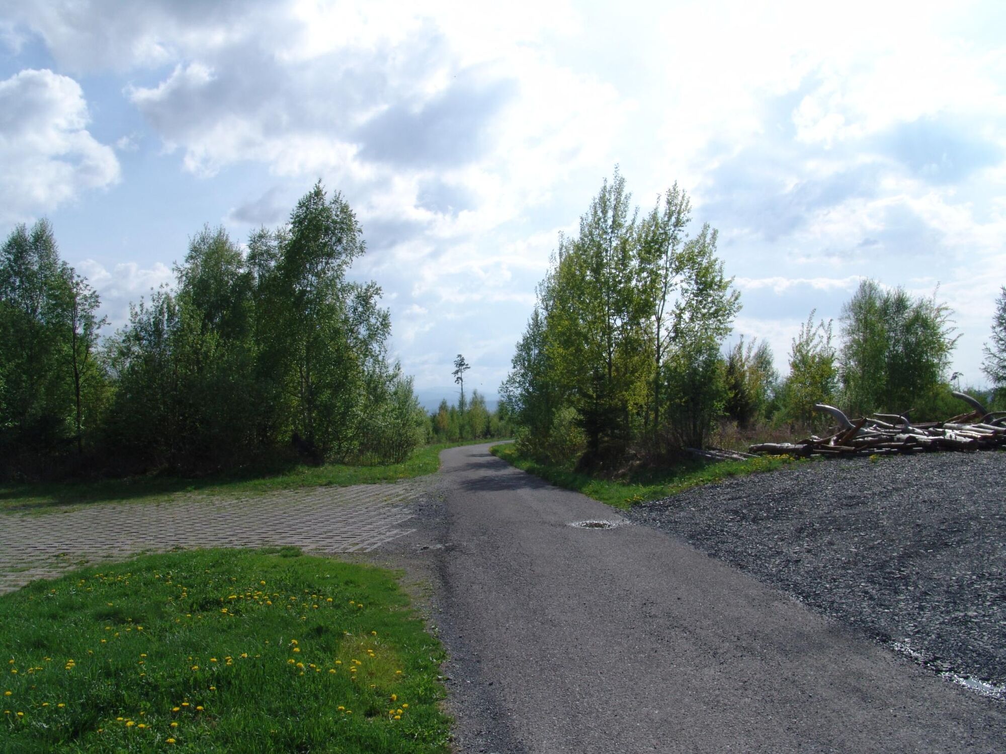
DOWNHILL TO GERLACHOV
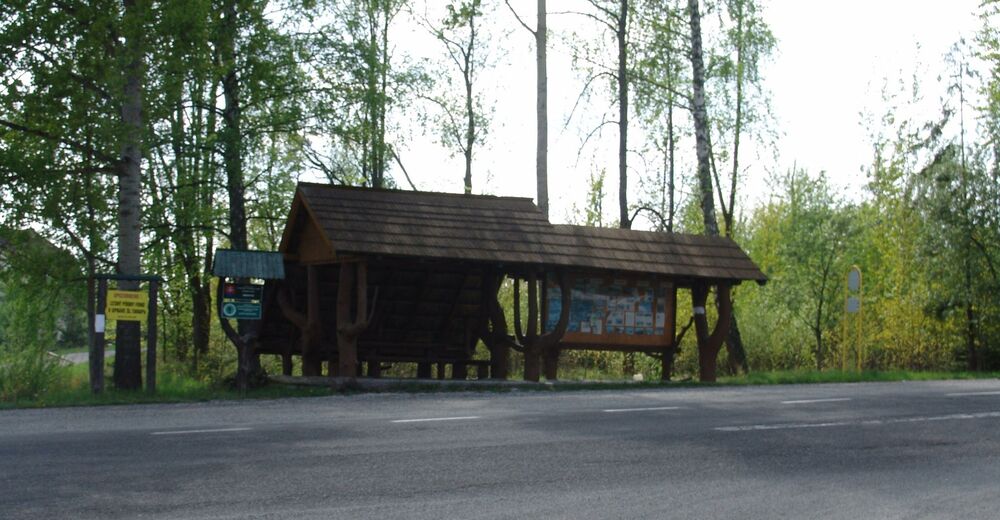
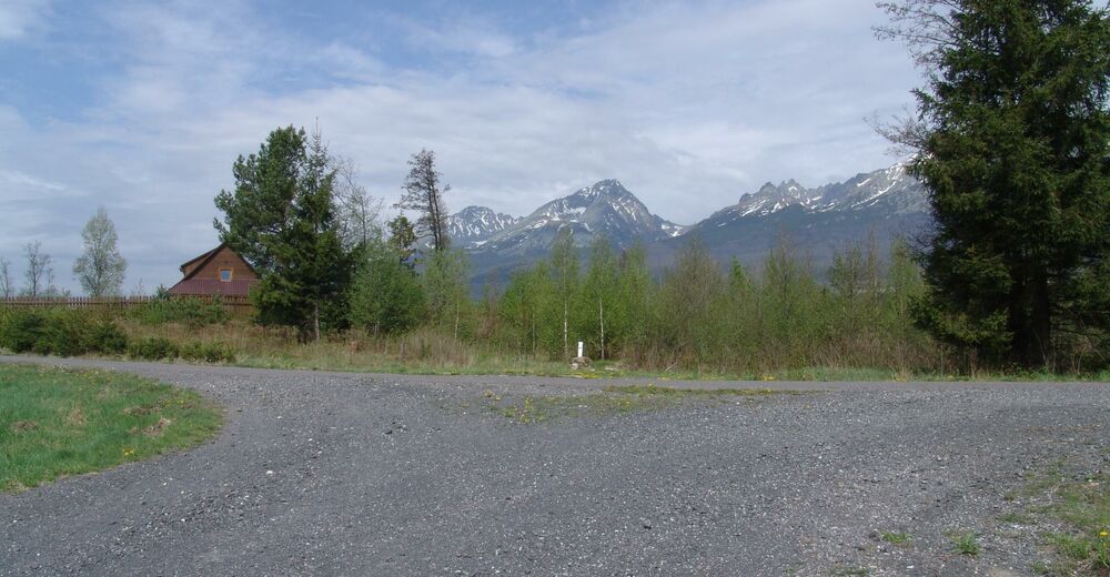
A quite easy but technically medium difficult route is mainly descending. There is only a small ascent at the end. A forest road offers ideal conditions for advanced bikers to frolic on. The less experienced ones can relax in forests in the area and enjoy beautiful views of the foothills and the ridge of the High Tatras. From the clearing of Žakovská poľana, you can continue to the settlement of Nová Lesná or down to Veľký Slavkov. And those who still haven´t had enough of descending and downhill and have some energy left, can set out for the Tatras up to Tatranská Polianka.
- Highest point
- 999 m
- Endpoint
-
Gerlachov
- Height profile
-
 © outdooractive.com

- Author
-
Region Hohe TatraThe tour 2863 - Sibír - Žakovská Poľana - Gerlachov is used by outdooractive.com provided.
GPS Downloads


Other tours in the regions
-
Poprad
19