© Südsteiermark - TV Südsteiermark

© Nordic Walking VINOTOUR
- Brief description
-
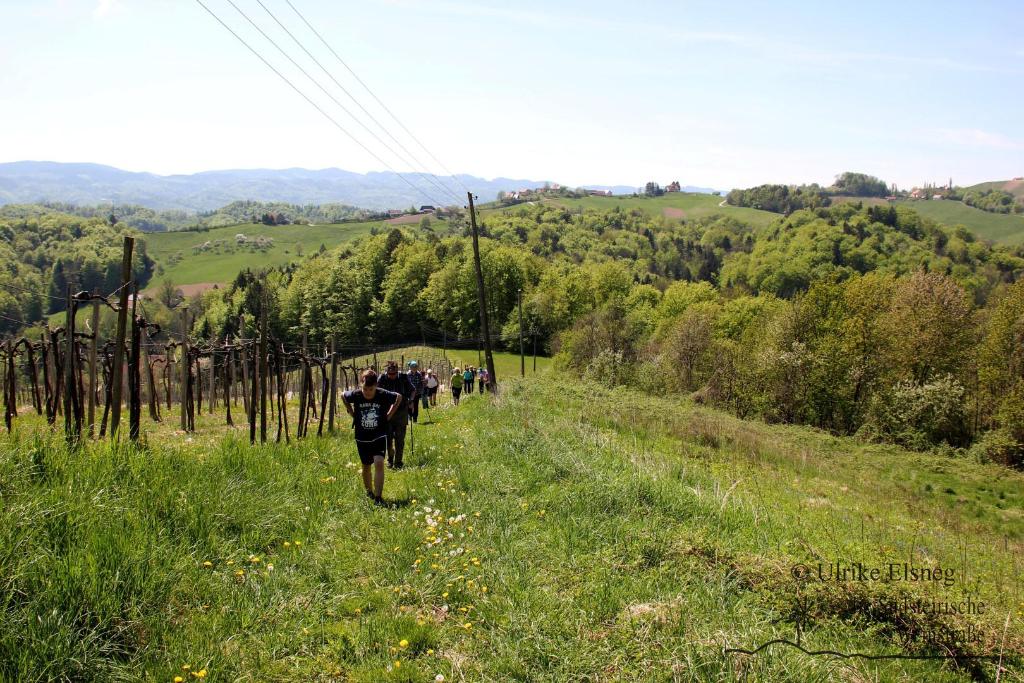
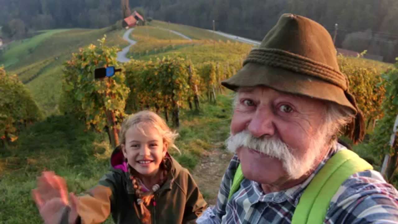
Vinotour ist das erste internationale Nordic-Walking durch das Steirisch-Slowenische Weinbaugebiet.
- Rating
-
- Route
-
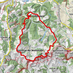
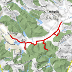
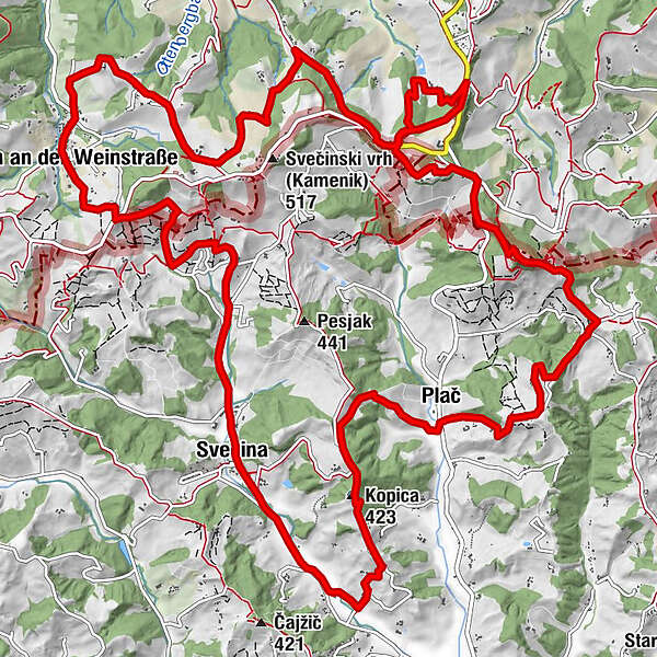
Witschein (388 m)Kopica (423 m)2.9 kmPlatsch4.8 kmPlatsch (510 m)8.0 kmZieregg9.2 kmMagnothek & Wirtshaus am Zieregg9.2 kmKarmeliterkapelle9.2 kmGraßnitzberg10.6 kmBuschenschank Gallunder12.3 kmBuschenschank-Weingut Firmenich-Steinberghof13.0 kmRatscher Landhaus14.8 kmUrbanikapelle17.3 kmRatsch an der Weinstraße17.4 kmWitschein (388 m)21.7 km
- Best season
-
JanFebMarAprMayJunJulAugSepOctNovDec
- Highest point
- 505 m
- Endpoint
-
Sportplatz Svecina
- Height profile
-
 © outdooractive.com
-

-
AuthorThe tour Nordic Walking Vinotour - Orange Strecke is used by outdooractive.com provided.
GPS Downloads


General info
Refreshment stop
A lot of view
Other tours in the regions