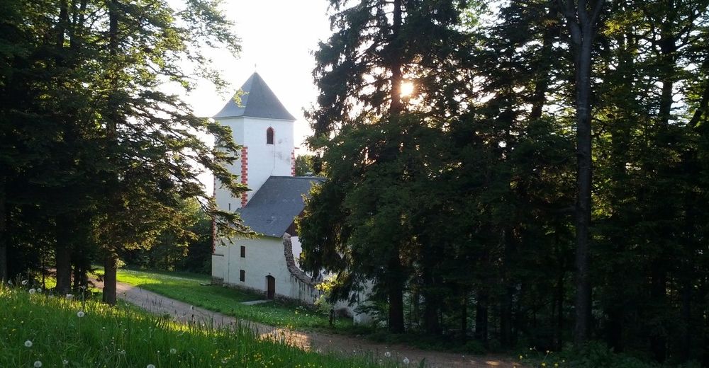
© Mitja Koren
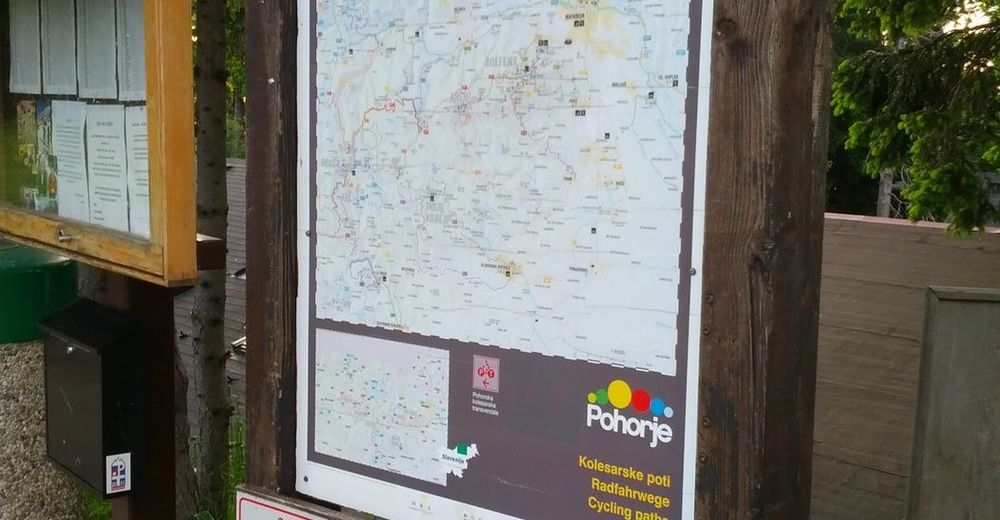
© Mitja Koren
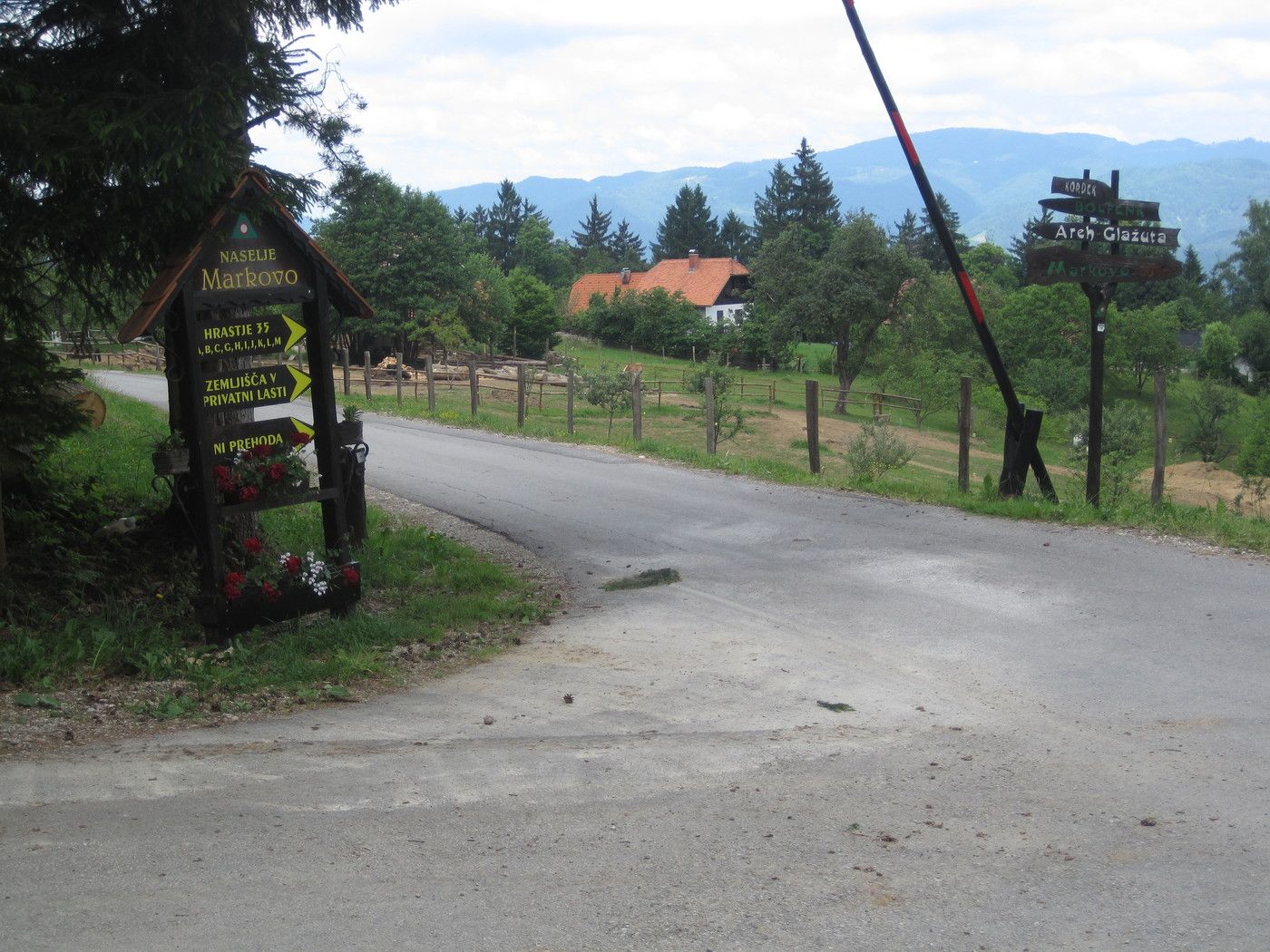
© Mitja Koren
© Mitja Koren
© Mitja Koren
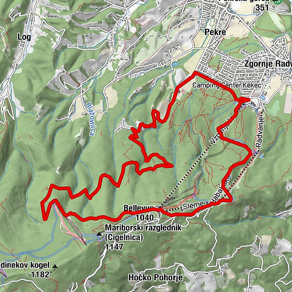
Tour data
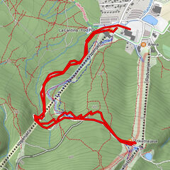
15.99km
321
- 1,042m
709hm
02:30h
- Brief description
-
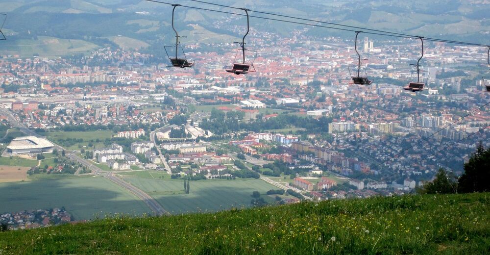
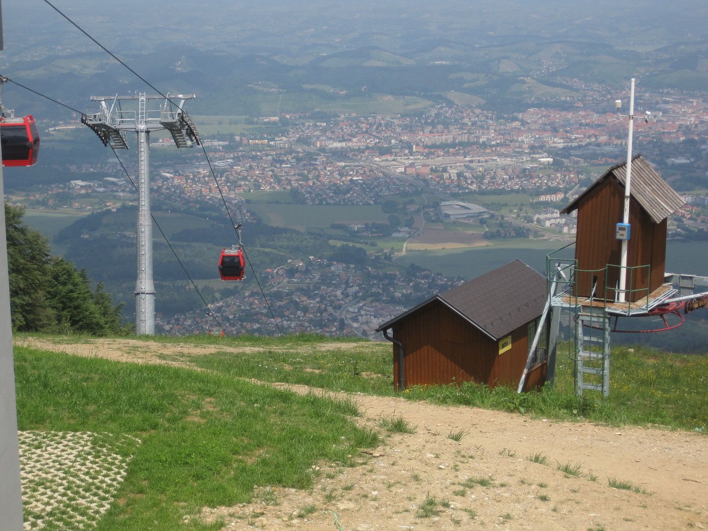
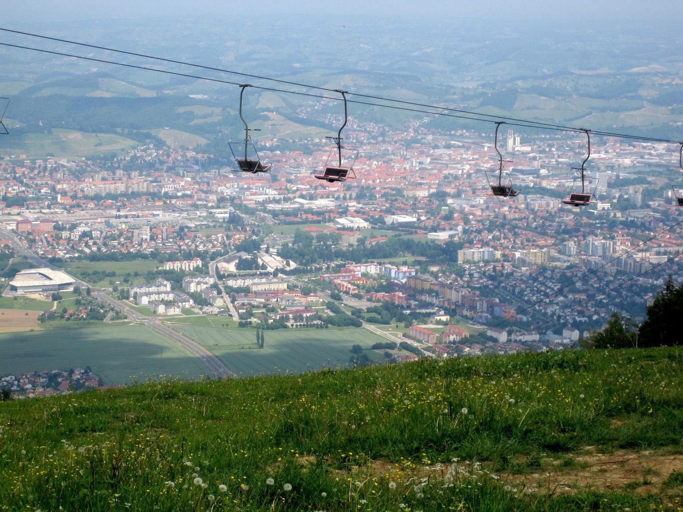
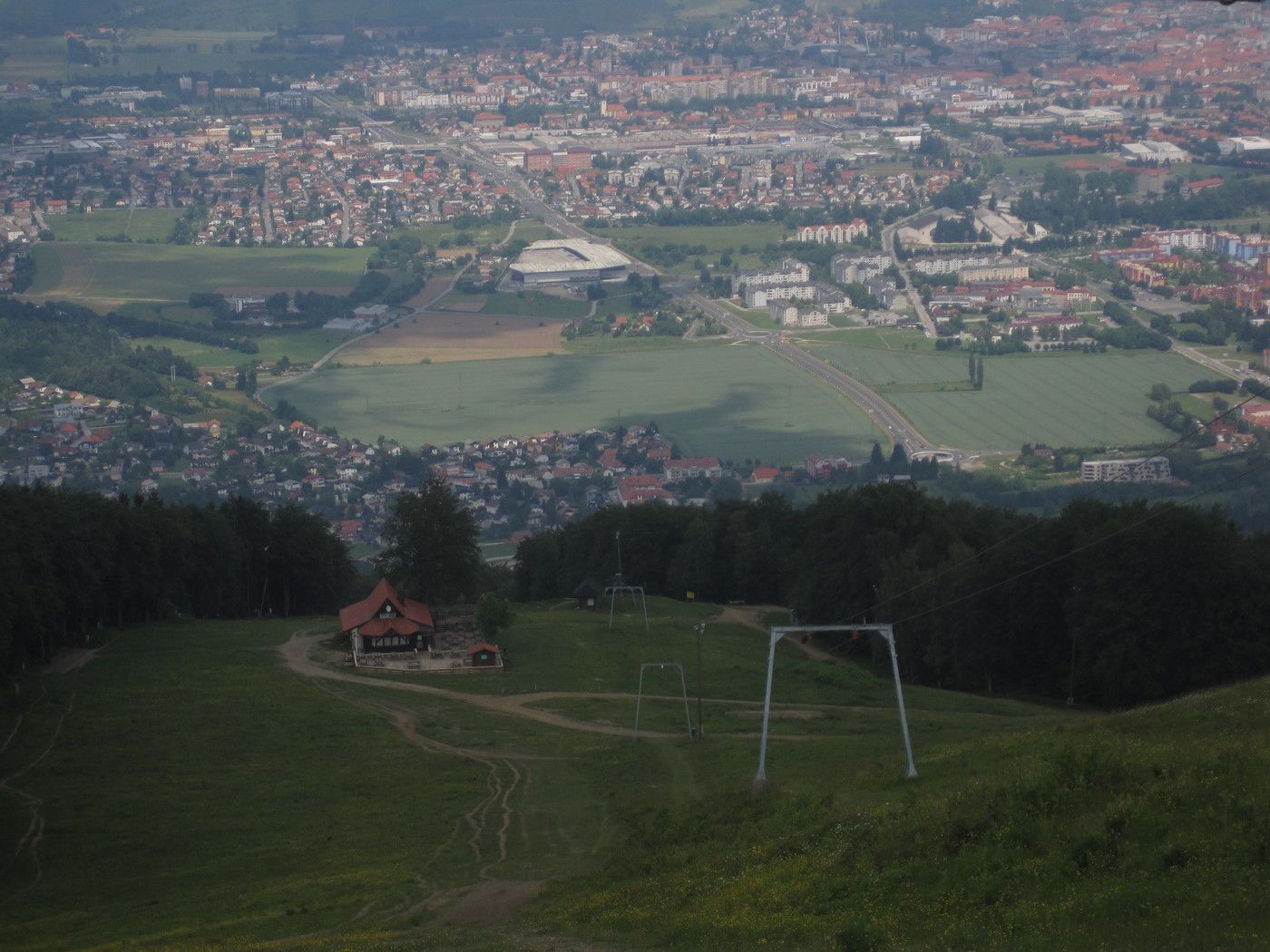
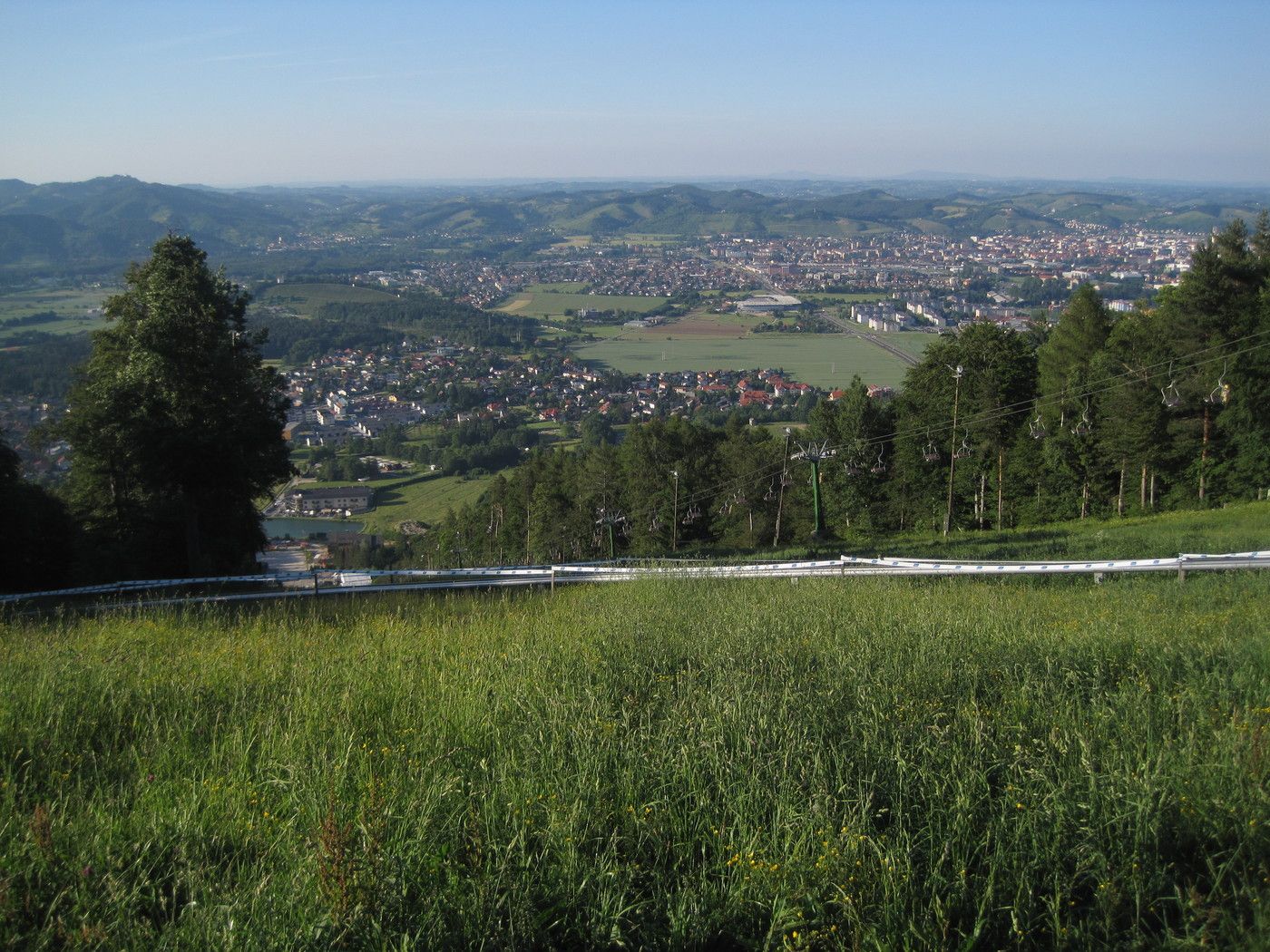
Eine sehr feine Tour auf Pohorje, den Berg am Fuße von Maribor, das gleichzeitig auch eins der größten Skigebiete Sloweniens darstellt - Mariborsko Pohorje.
- Difficulty
-
medium
- Rating
-
- Starting point
-
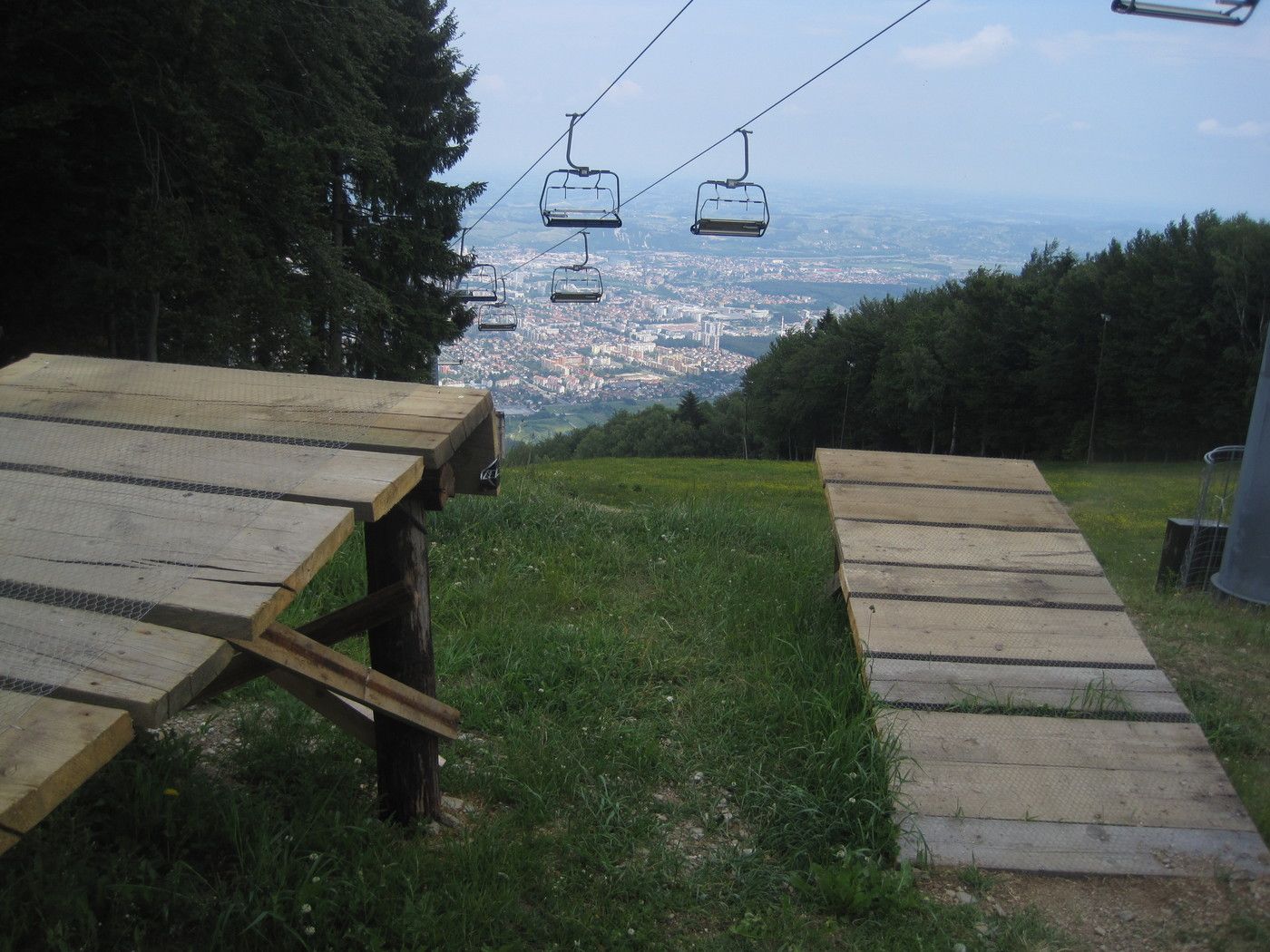
Parkplatz bei der Gondelstation.
- Route
-
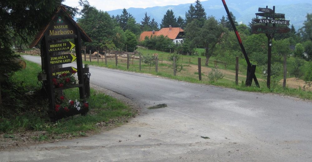
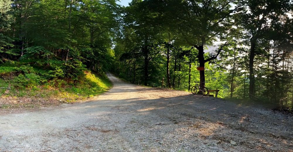
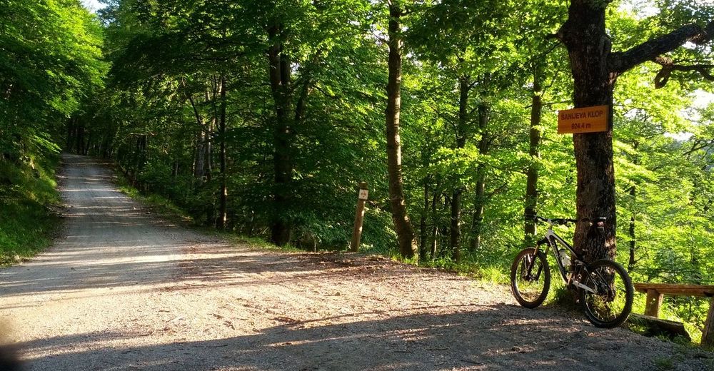
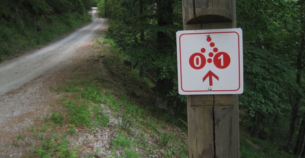
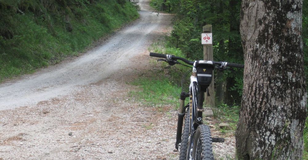
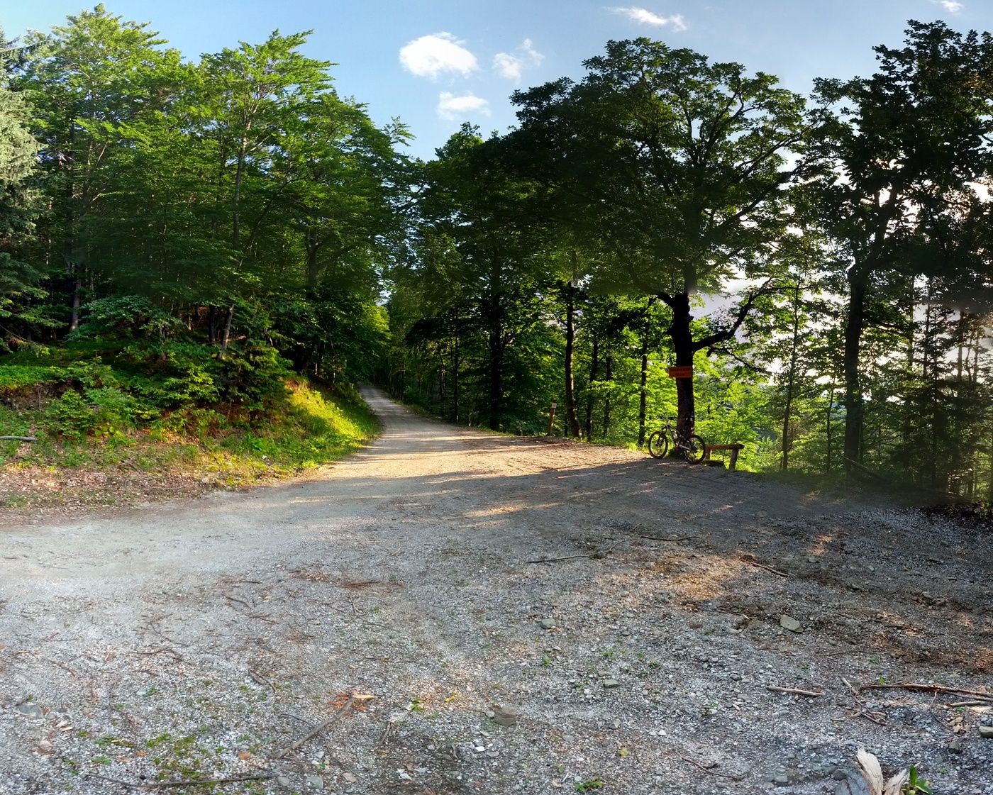
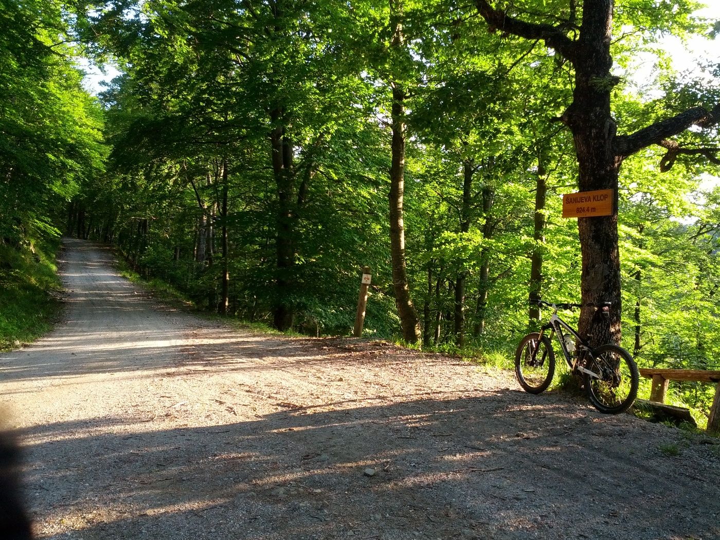
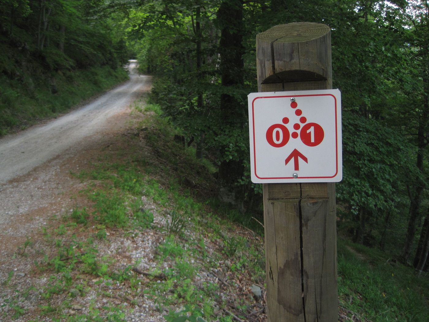
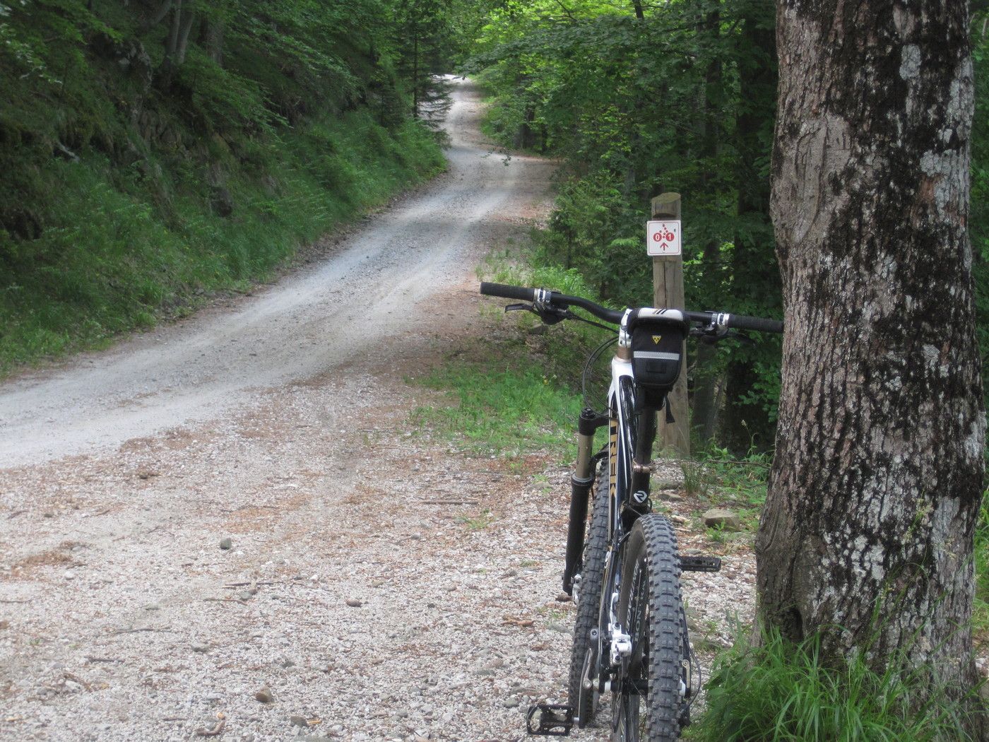
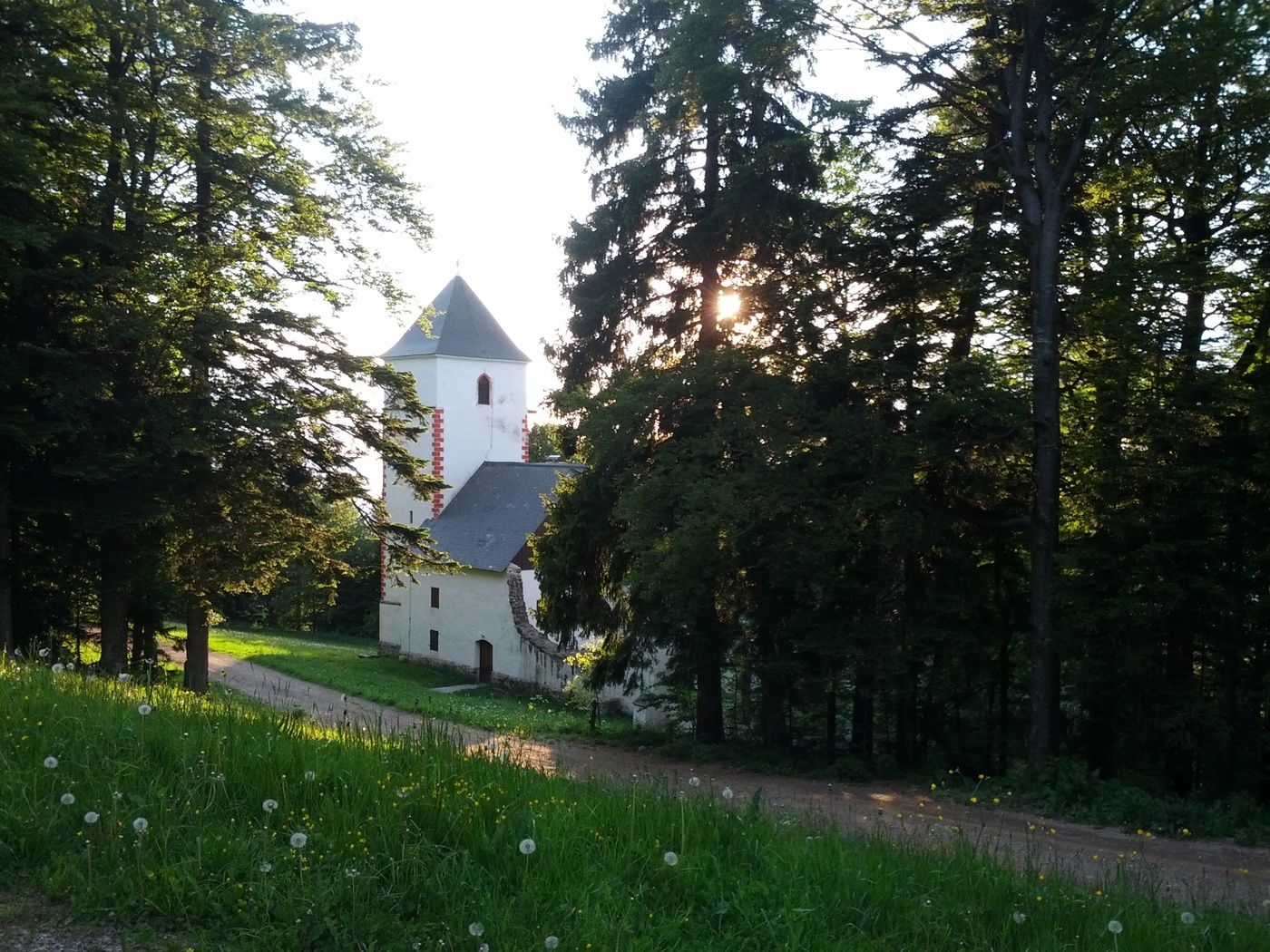
Kogel (400 m)1.4 kmMarkovo3.4 kmŠanijeva klop8.2 kmSv. Bolfenk11.3 kmMariborsko Pohorje (1,042 m)11.4 kmBellevue (1,040 m)11.5 kmMariborsko Pohorje11.6 kmKoča11.6 km
- Best season
-
JanFebMarAprMayJunJulAugSepOctNovDec
- Highest point
- 1,042 m
- Endpoint
-
Bellevue (obere Gondelstation) des Skigebiets.
- Rest/Retreat
-
Am Bellevue bzw. am Ziel gibt es mehrere Hotels und Cafés, in denen man exzellent Essen und trinken kann.
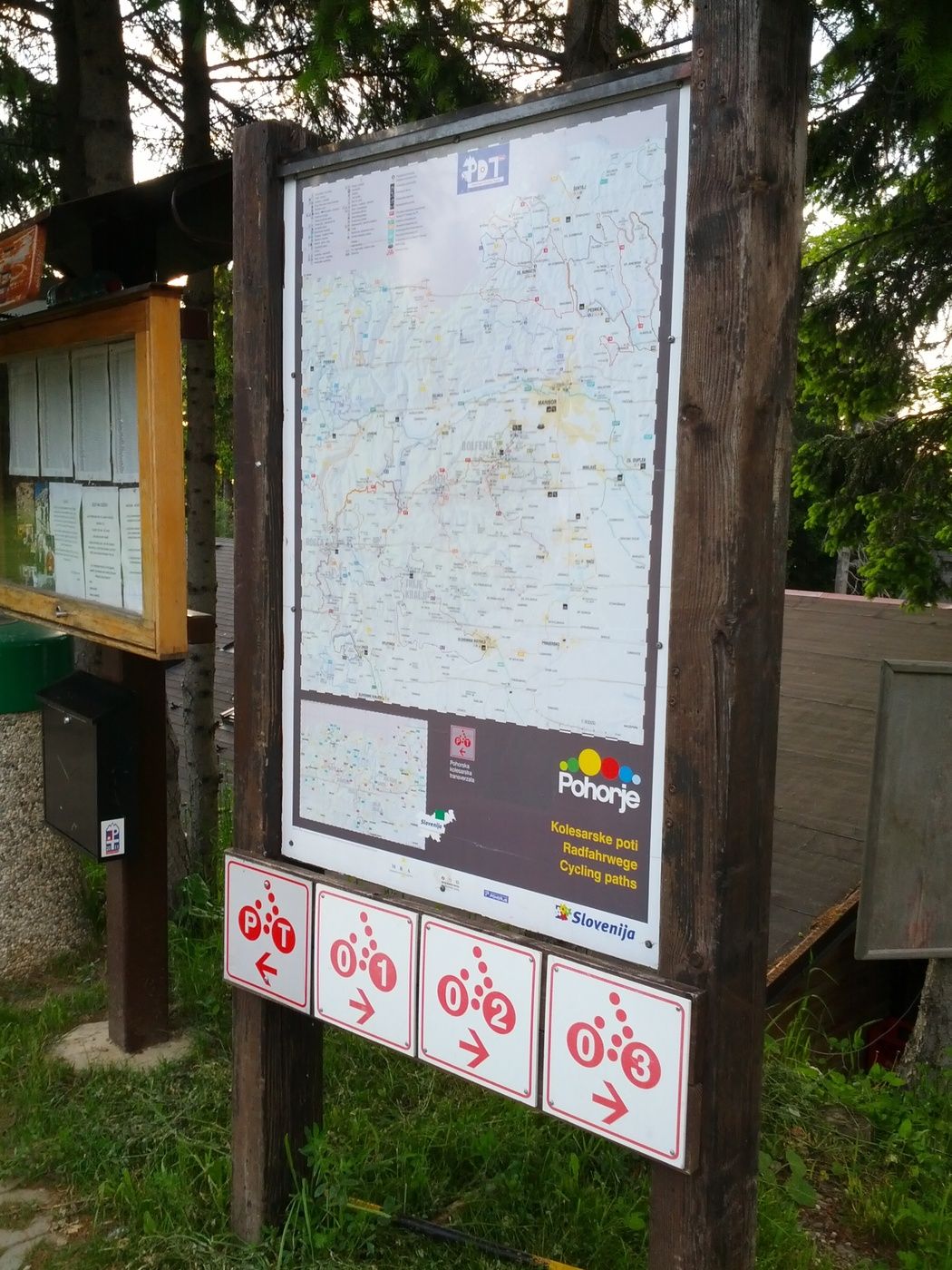


GPS Downloads


Surfaces
Asphalt
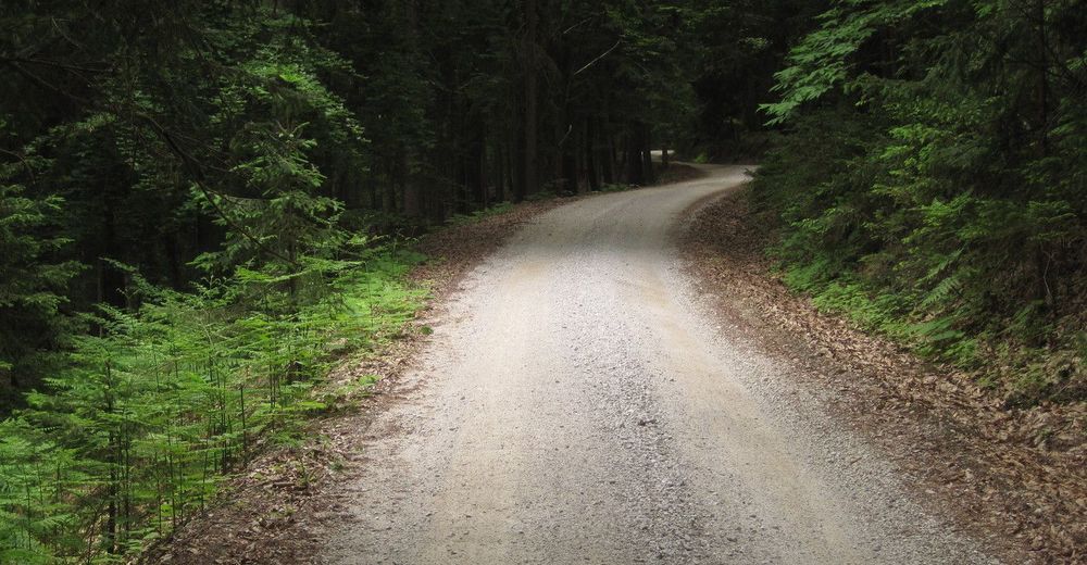
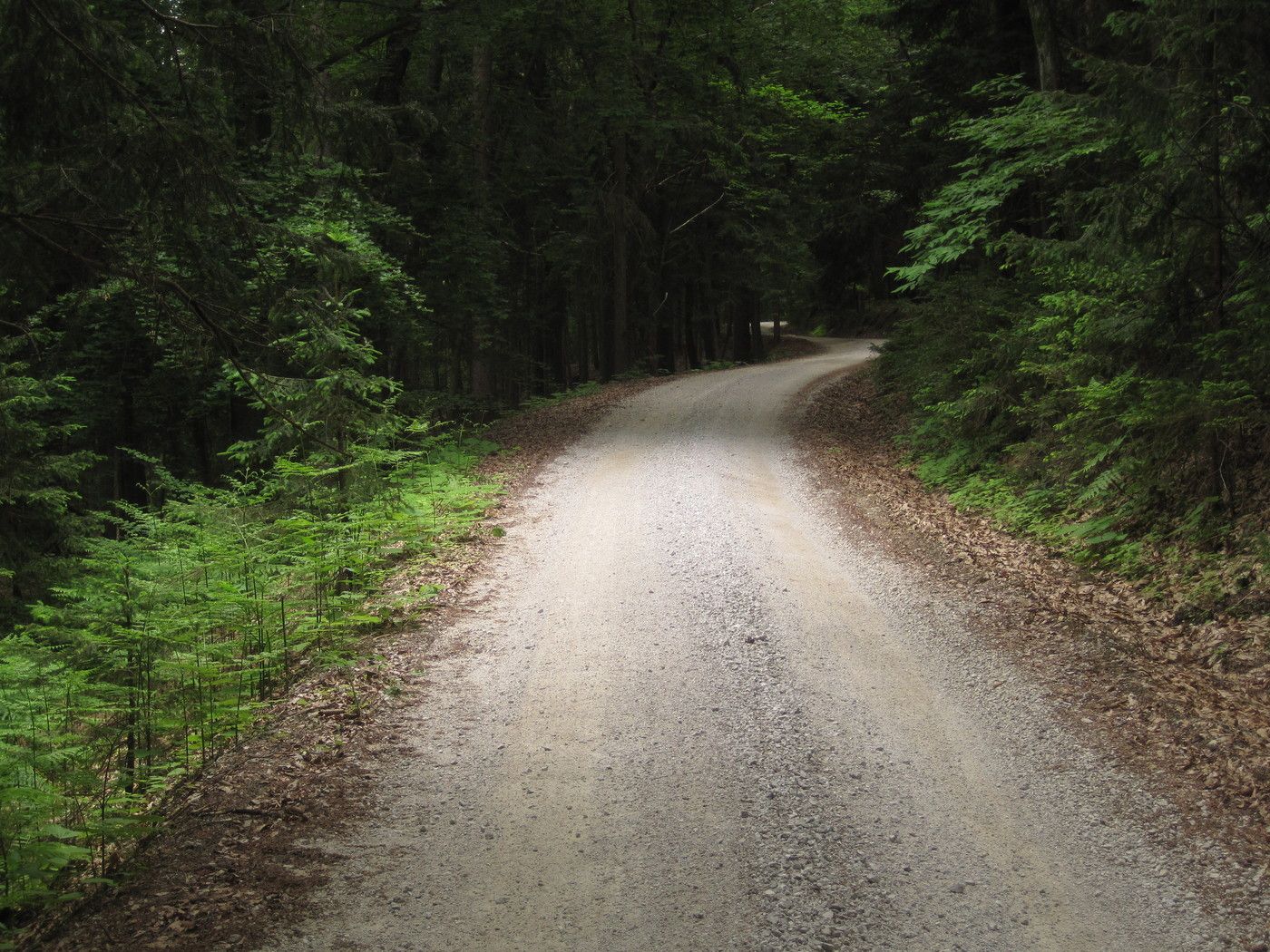
Gravel
Forest
Mountain paths
Single trails
Trial
Traffic
Other tours in the regions
-
Südsteiermark
138
-
Maribor-Pohorje
46
-
Maribor
8