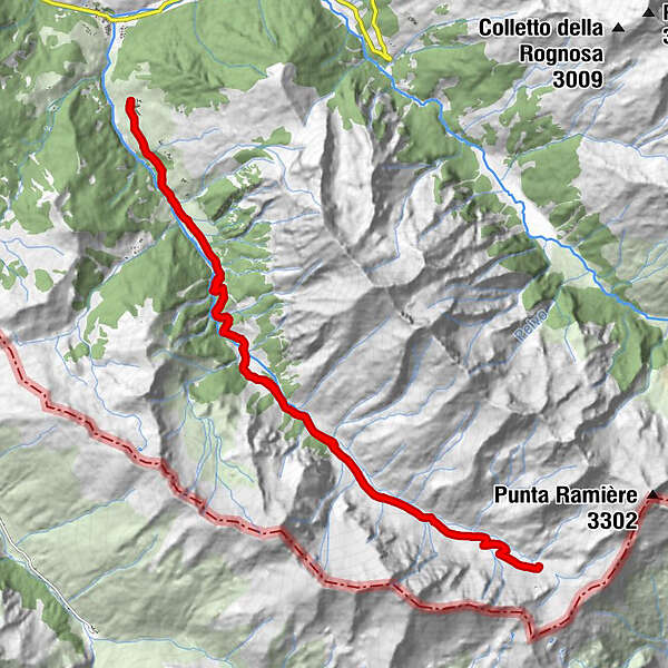
Tour data
26.07km
1,632
- 2,546m
943hm
942hm
03:33h
- Brief description
-
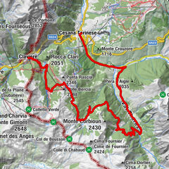
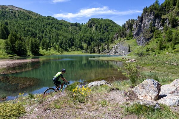
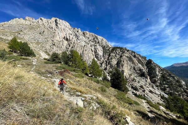
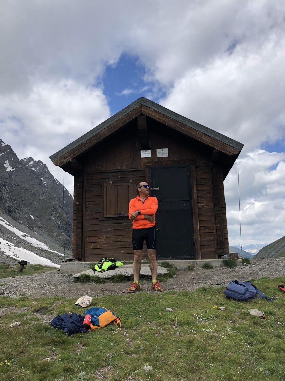
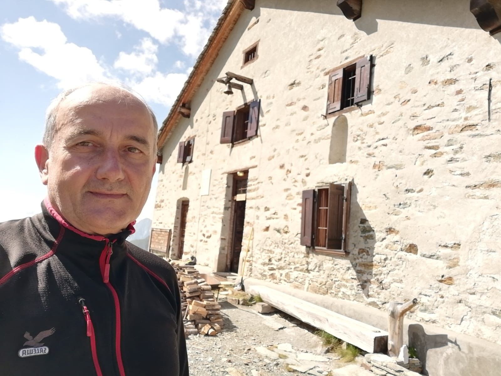
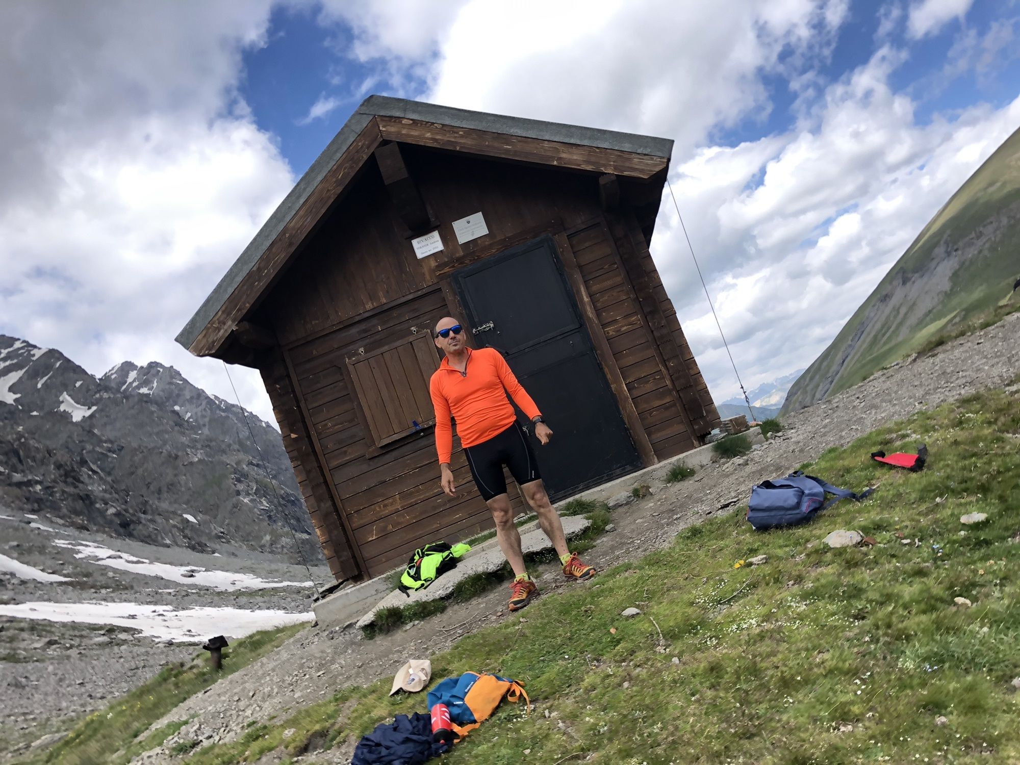
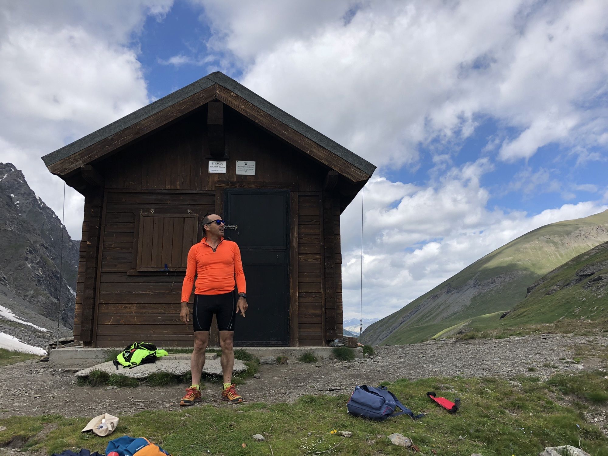
Il percorso si sviluppa lungo tutta la Valle di Thures, arrivando poco sotto a Col Bousson su una mulattiera a tratti molto “pietrosa”. In complesso molto bella.
- Difficulty
-
easy
- Rating
-
- Route
-
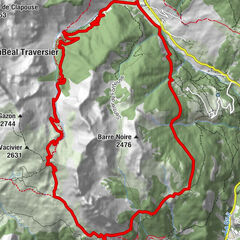
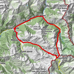
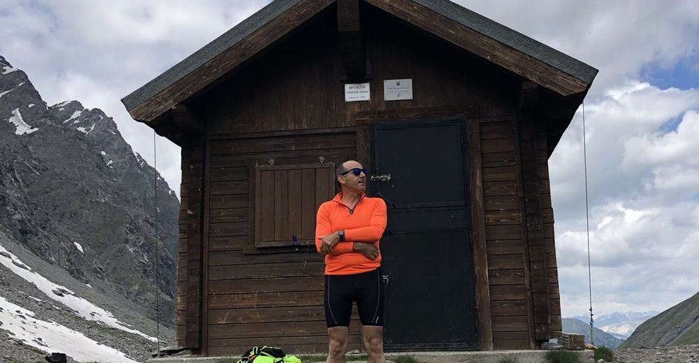
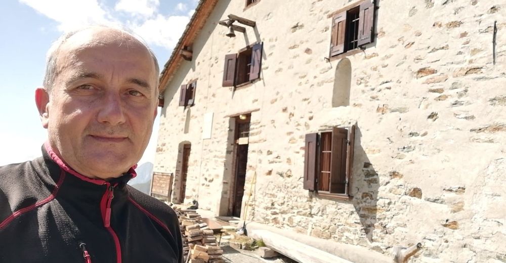
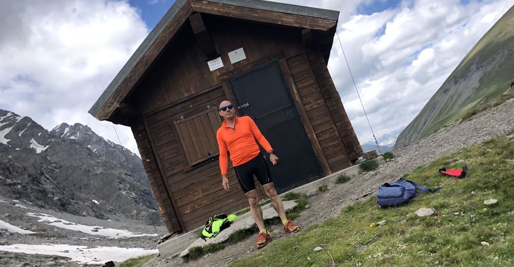
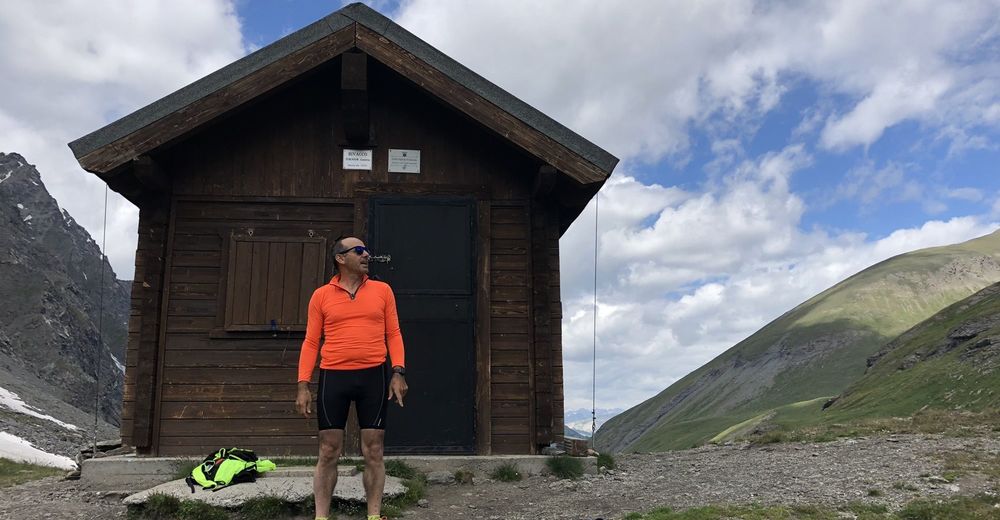
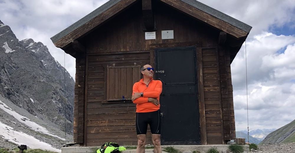
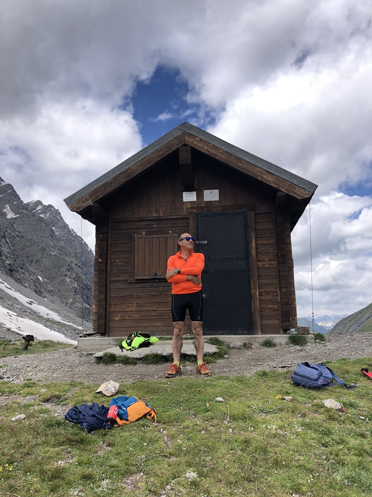
ThuresRhuilles1.9 kmNostra Signora du Lau4.6 kmCappella degli Alpini5.5 kmGrange Thuras superiori7.4 kmRicoveri 74 Batteria7.6 kmBivouac Andrea Tornior13.1 kmRicoveri 74 Batteria18.6 kmGrange Thuras superiori18.9 kmCappella degli Alpini20.6 kmNostra Signora du Lau21.5 kmRhuilles24.1 kmThures26.0 km
- Best season
-
JanFebMarAprMayJunJulAugSepOctNovDec
- Highest point
- 2,546 m
GPS Downloads


Other tours in the regions