


Tour data
12.7km
3,259
- 4,554m
1,309hm
1,309hm
06:30h
- Brief description
-
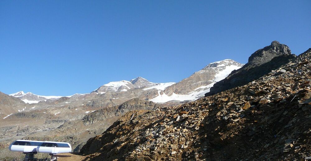
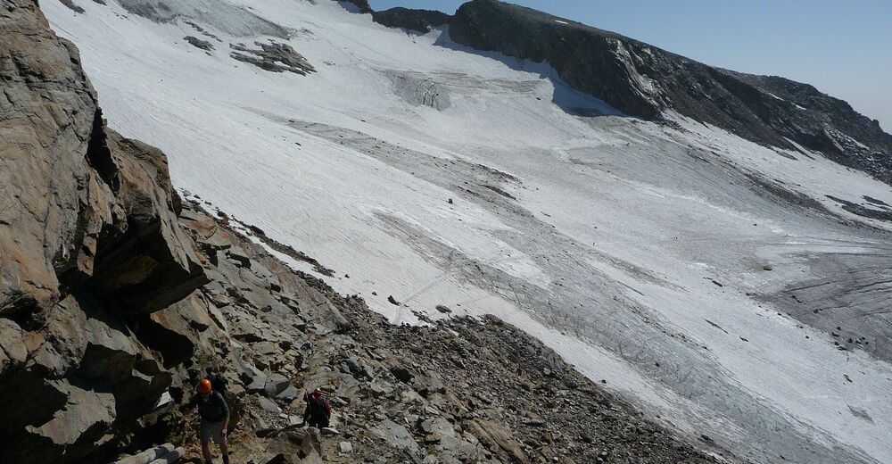
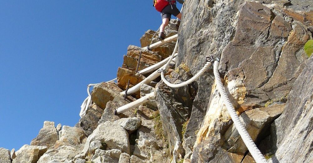
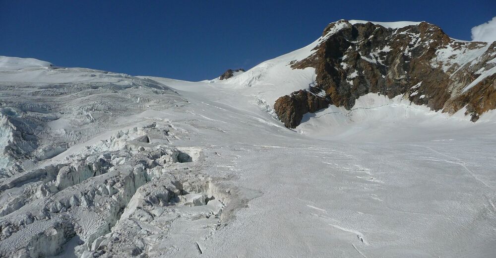
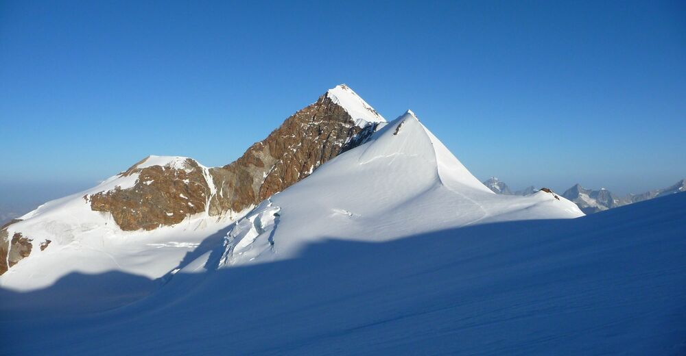
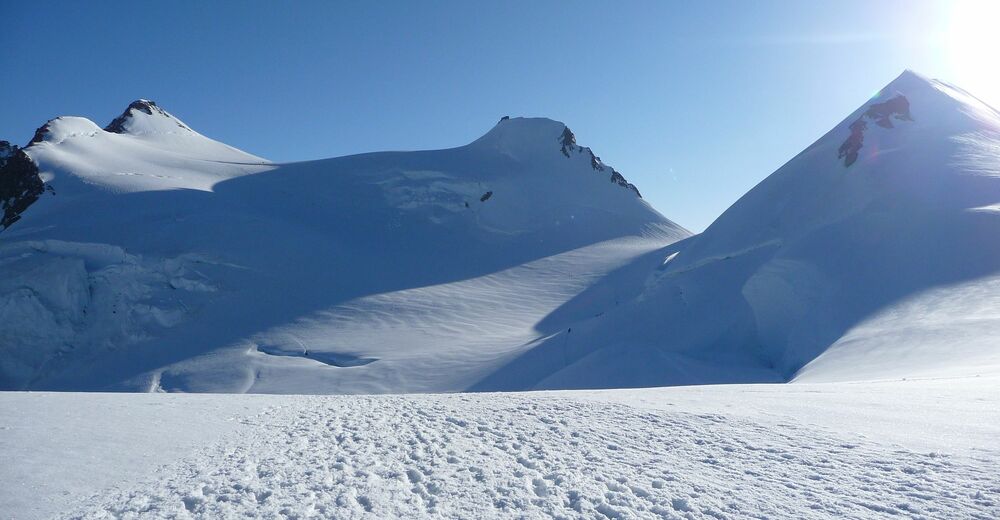
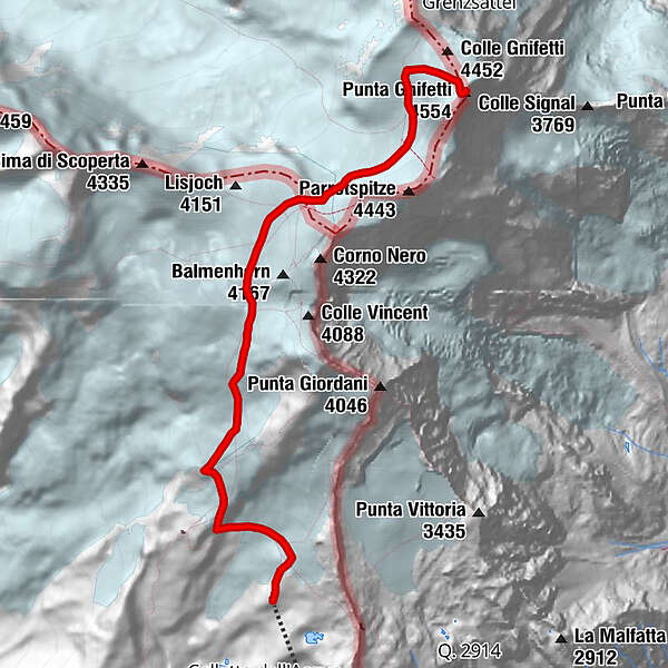
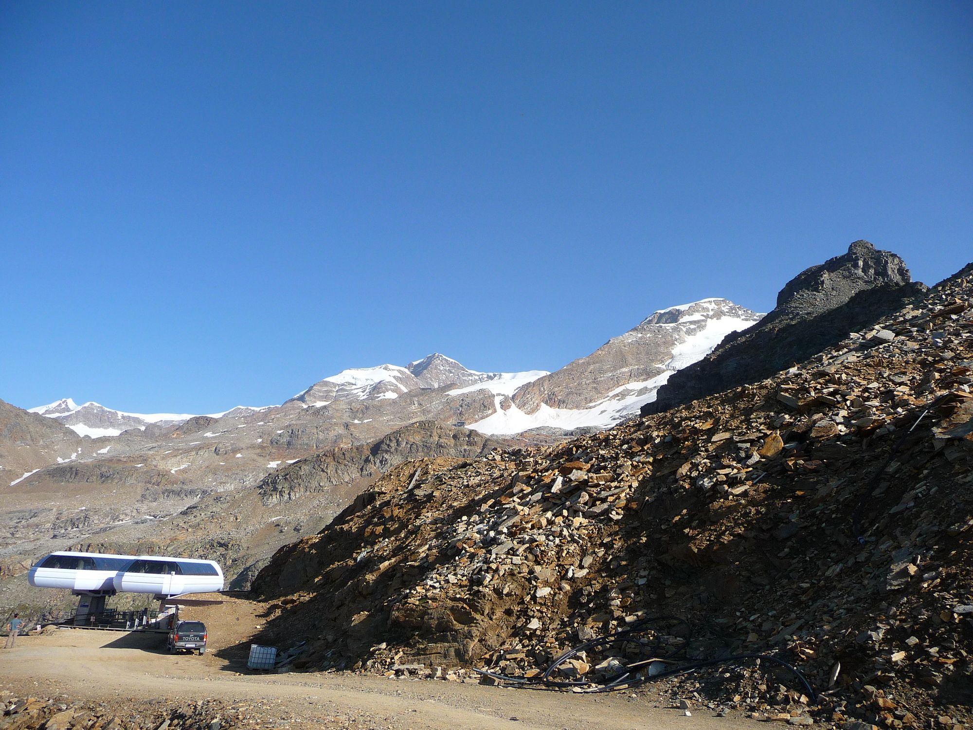
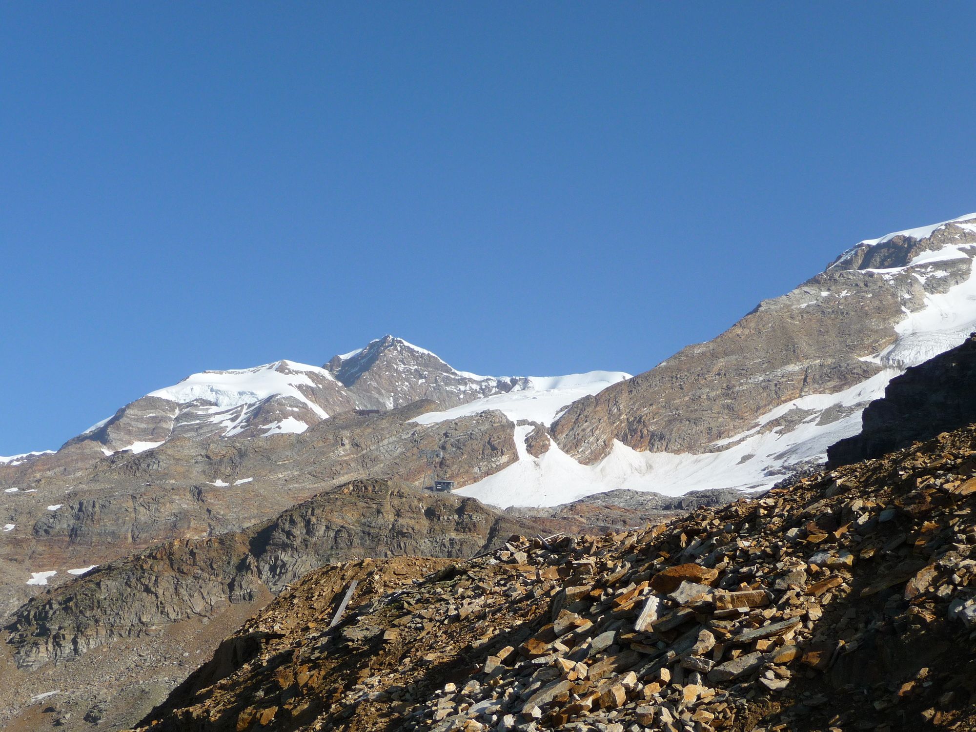
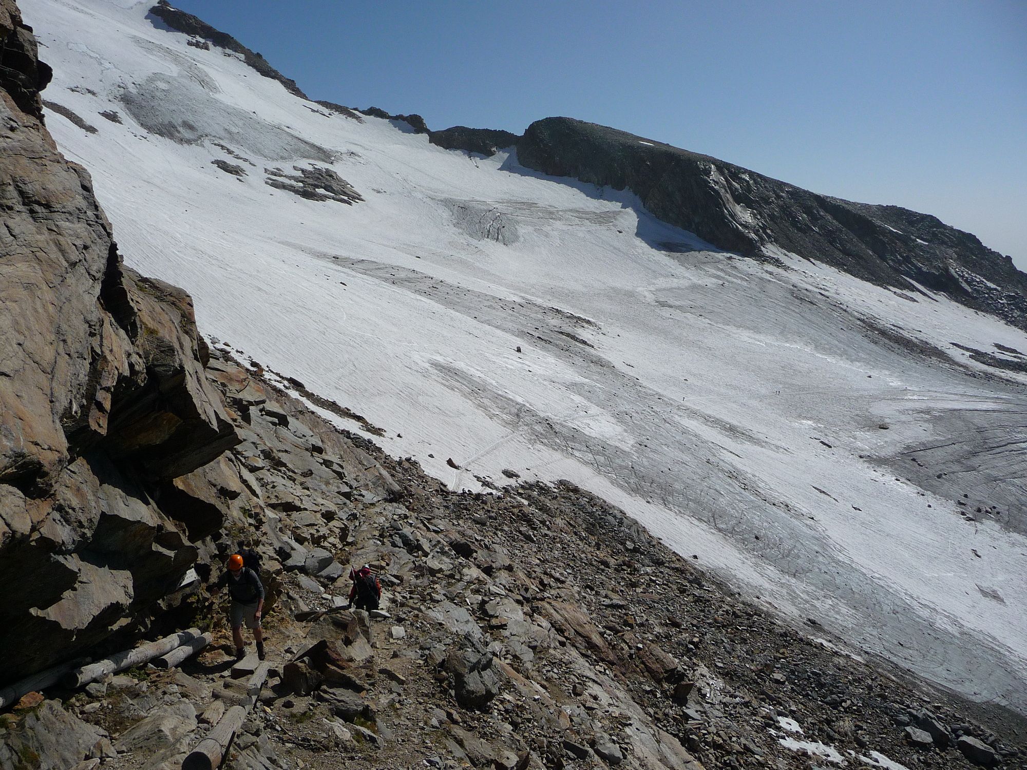
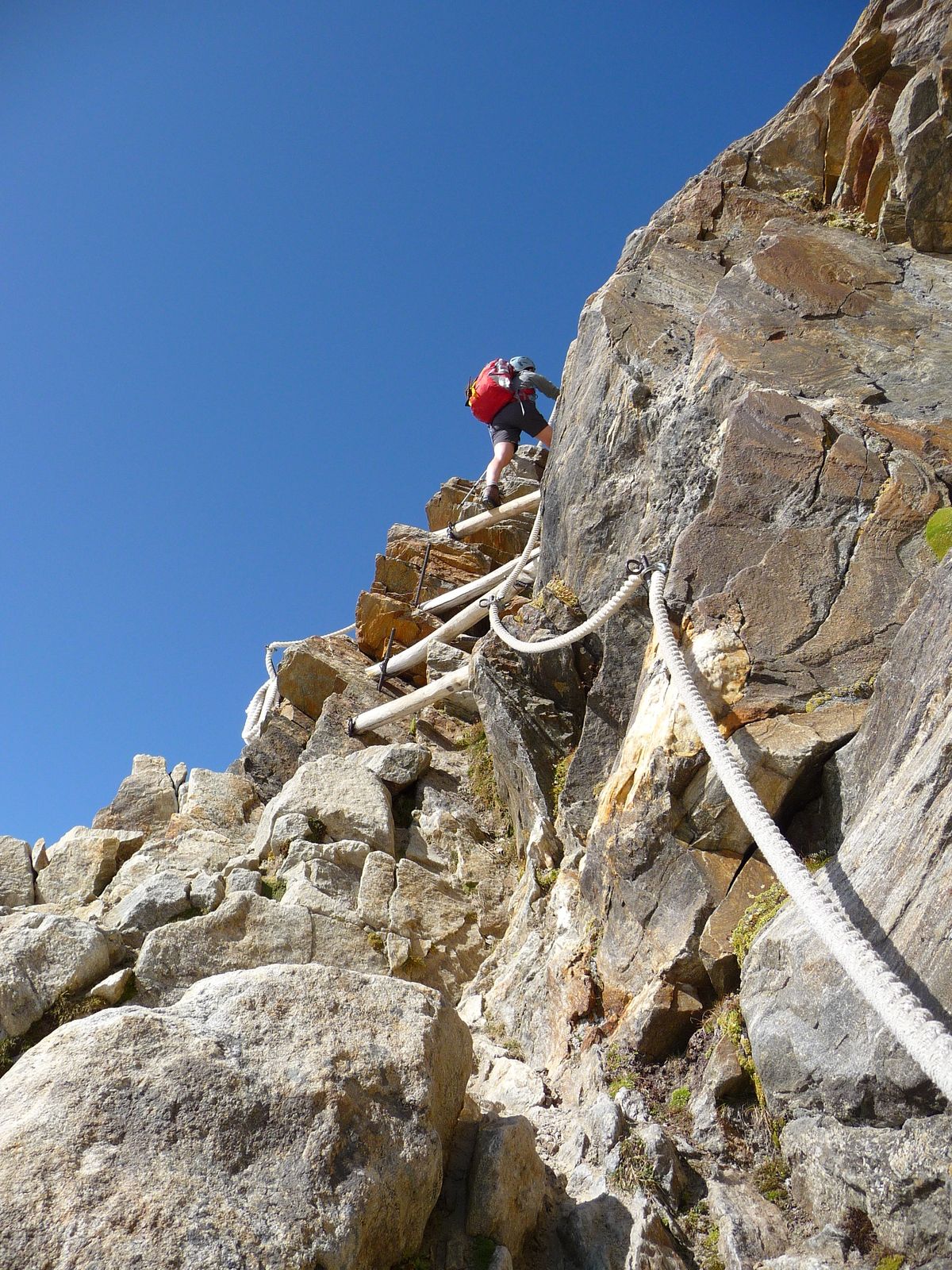
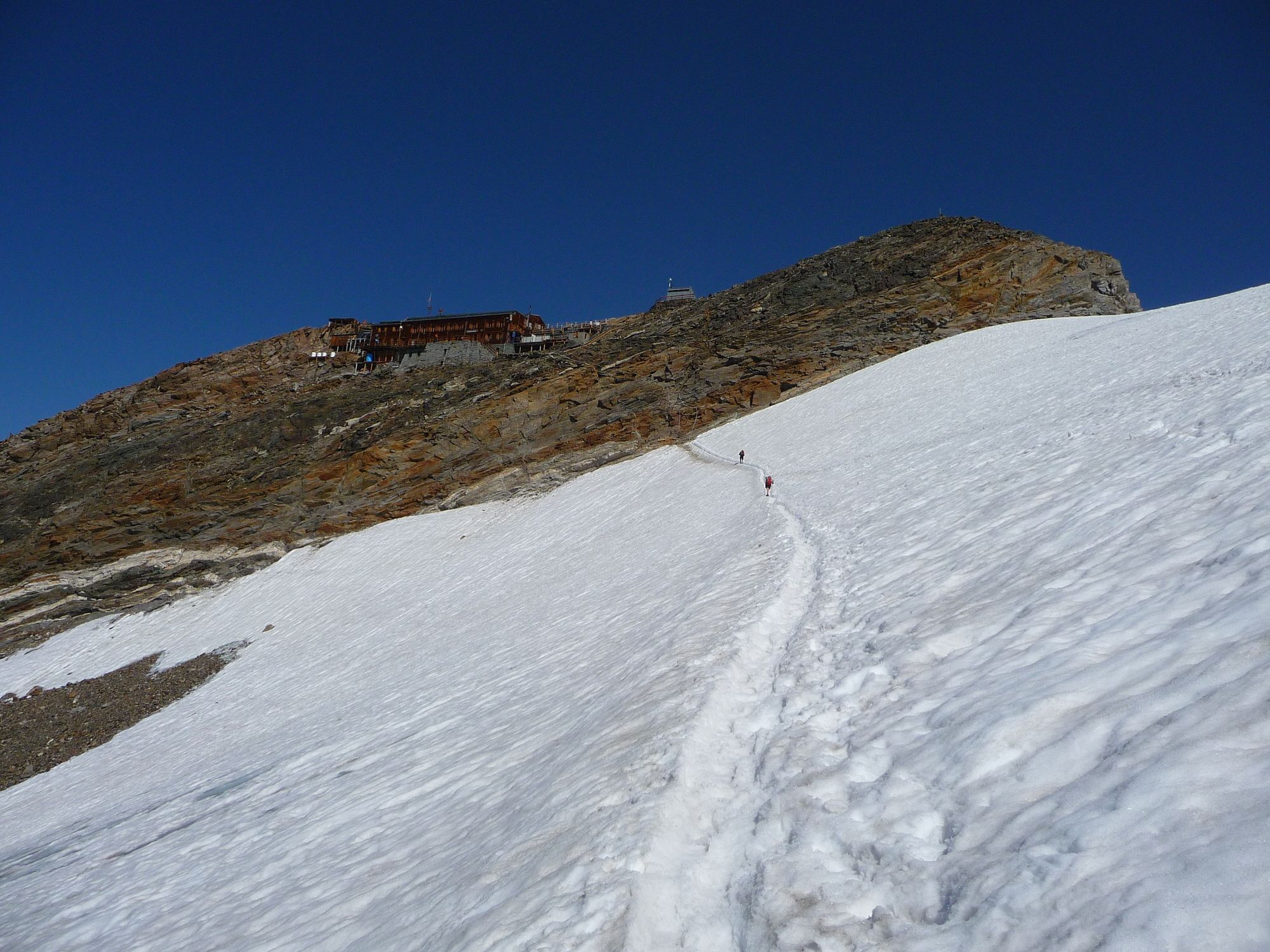
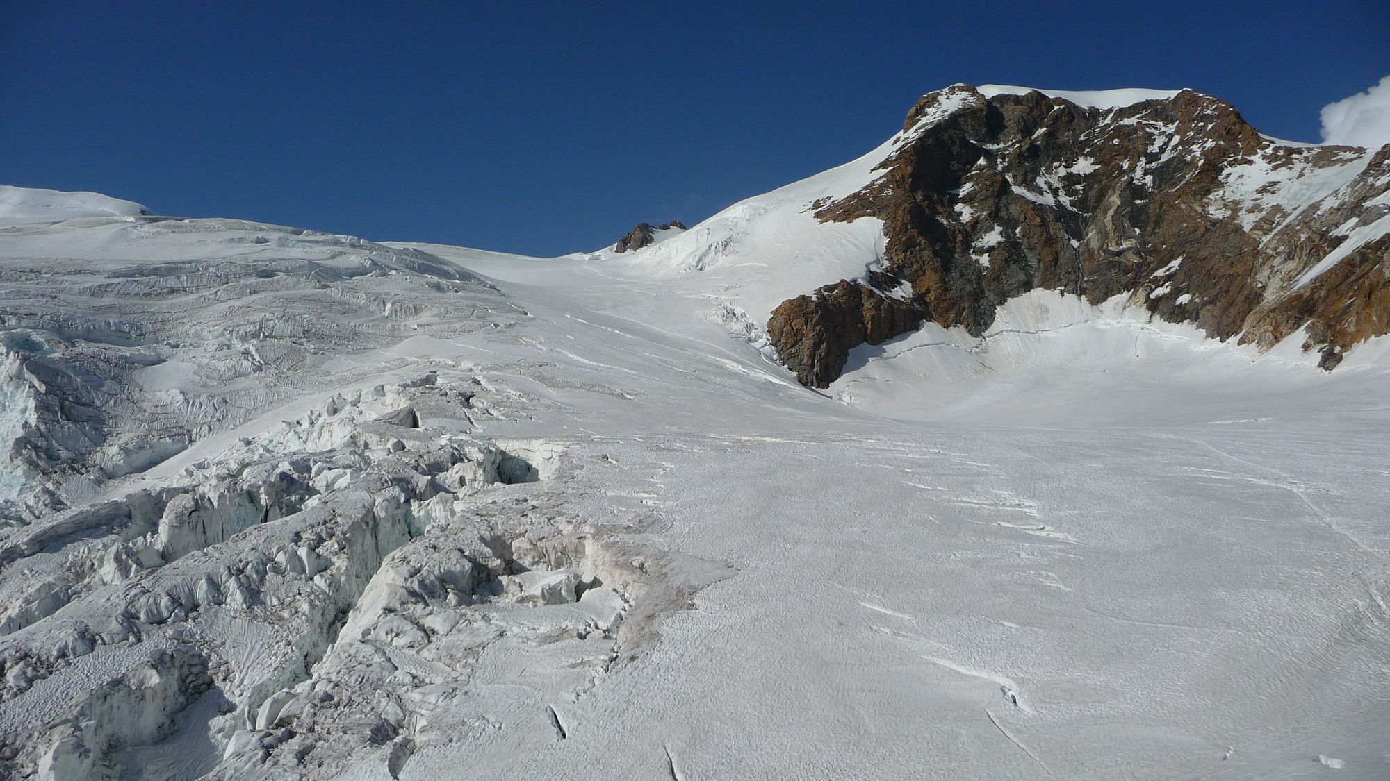
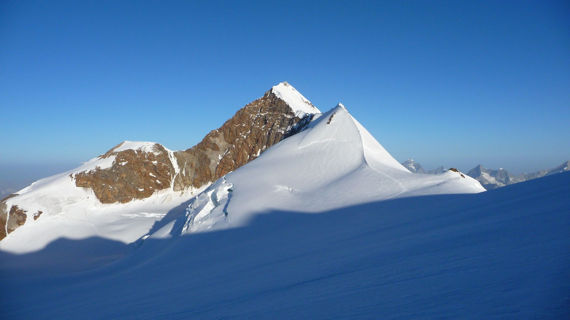
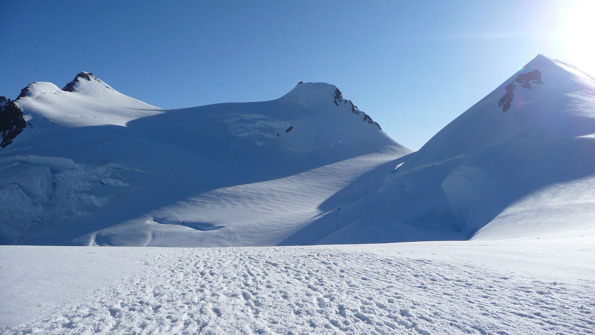
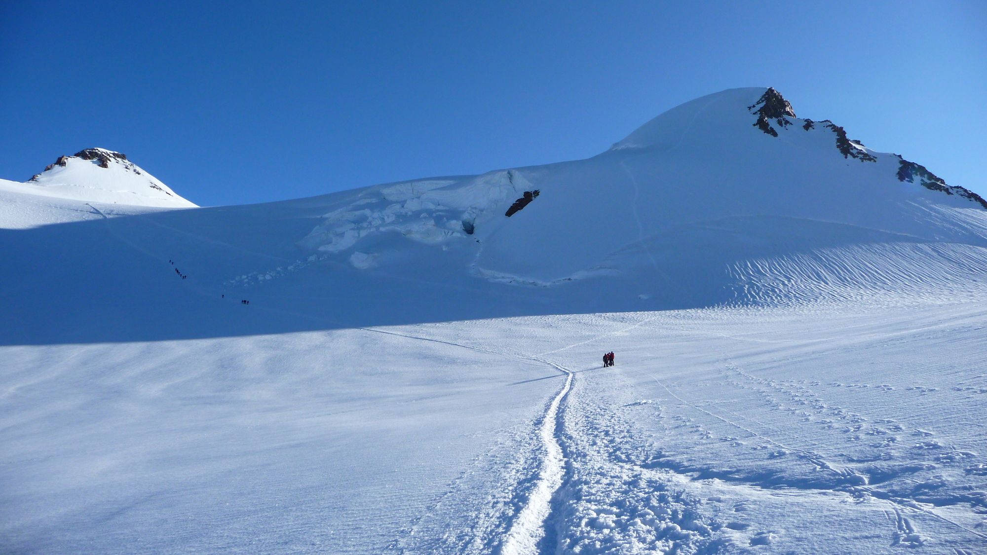
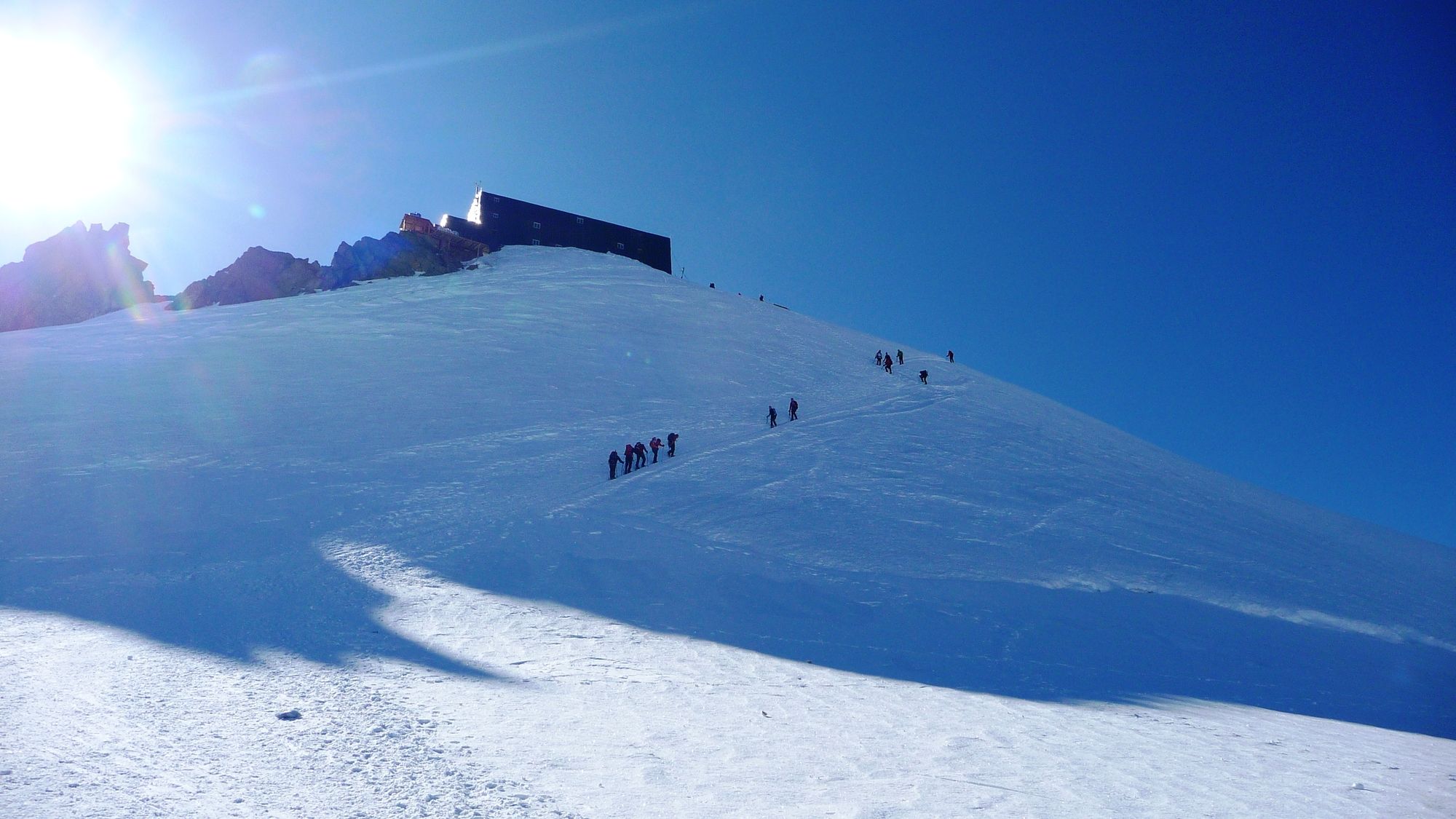
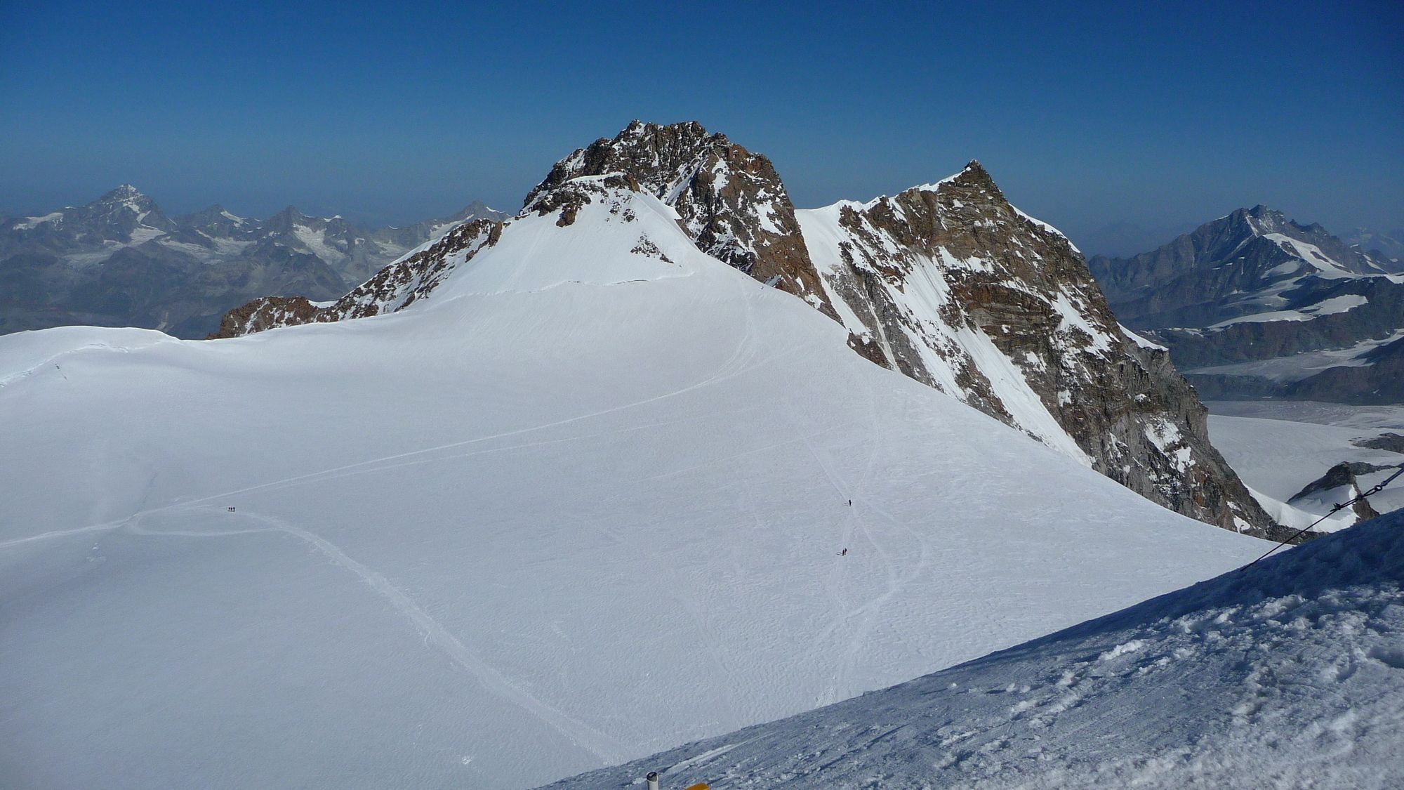
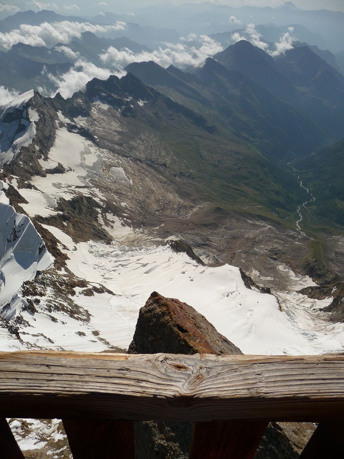
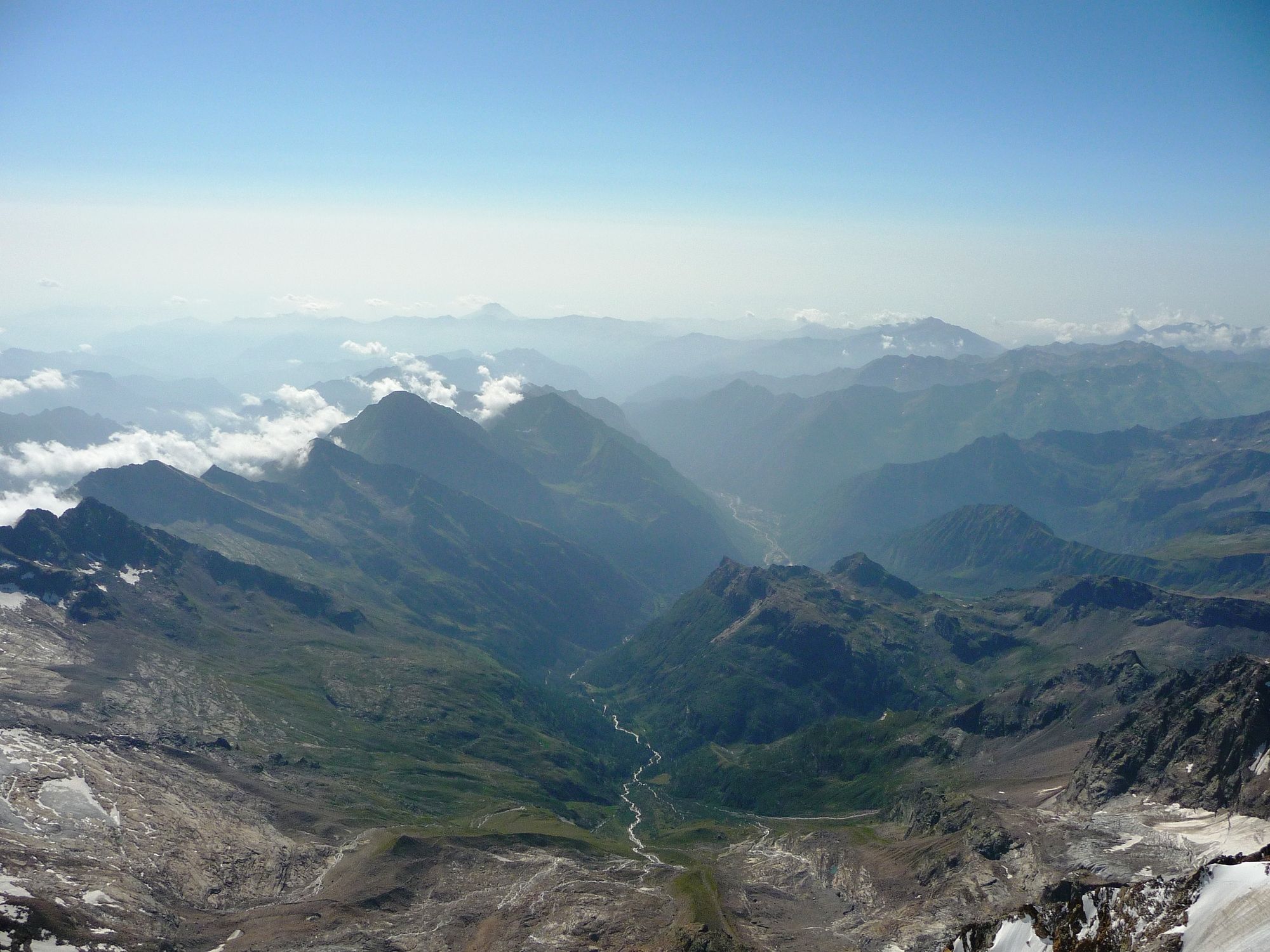
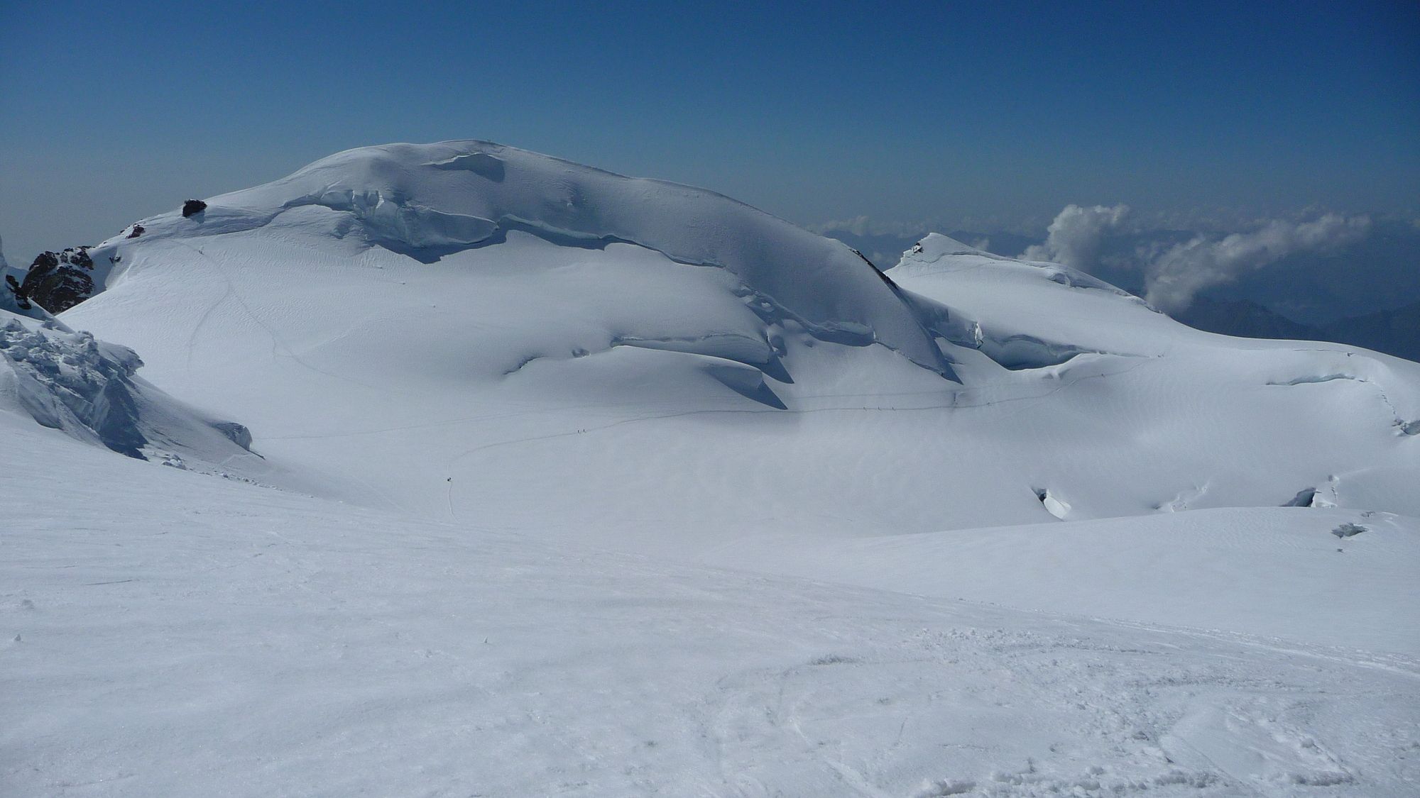
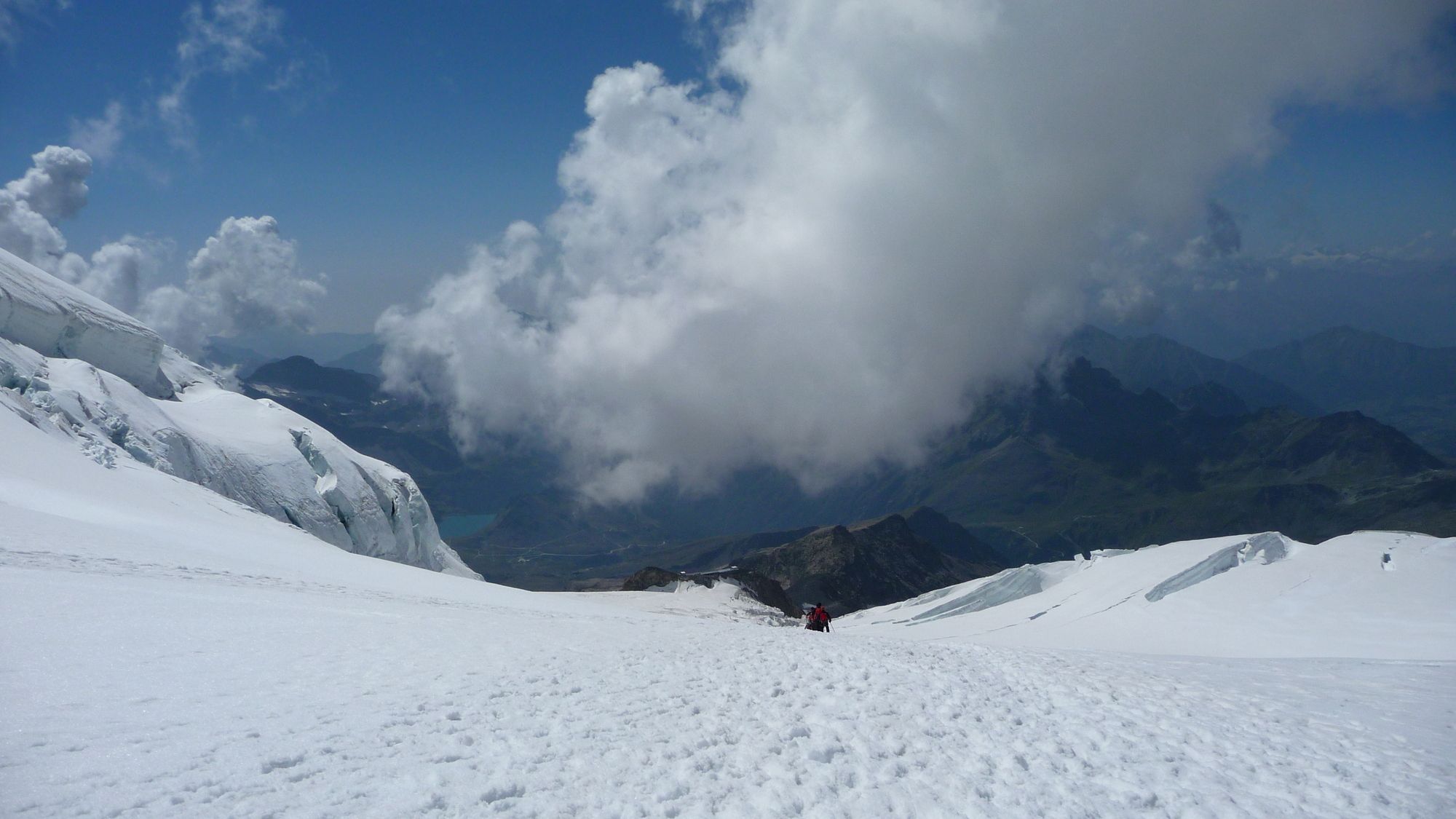
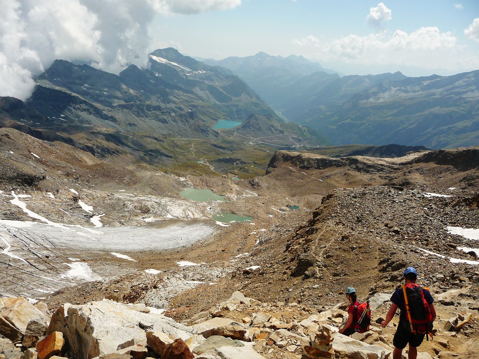
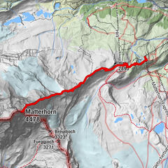
Von Alagna Valsesia (1190m) mit der Seilbahn zum Punta Indren (3260m) und weiter über Capanna Gnifetti (3625m) auf die Signalkuppe / Punta Gnifetti (4554 m) und zurück.
- Difficulty
-
medium
- Rating
-
- Starting point
-
Alagna Valsesia / Seilbahnstation Punta Indren
- Route
-
Pointe Gnifetti (4,554 m)6.3 kmMargheritahütte6.3 km
- Best season
-
JanFebMarAprMayJunJulAugSepOctNovDec
- Highest point
- 4,554 m
- Endpoint
-
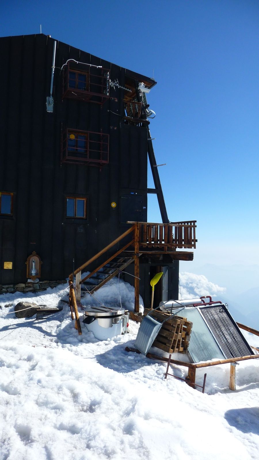
Signalkuppe / Punta Gnifetti (4554m)
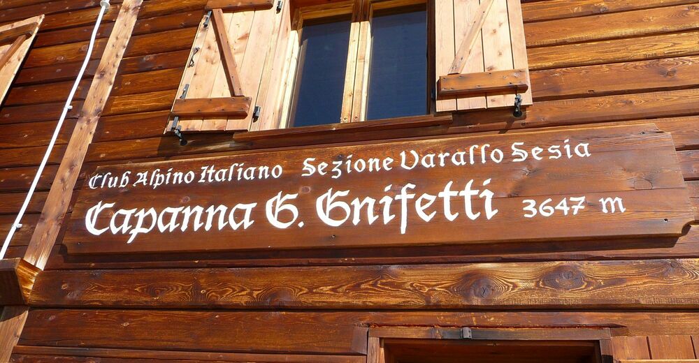
- Rest/Retreat
-
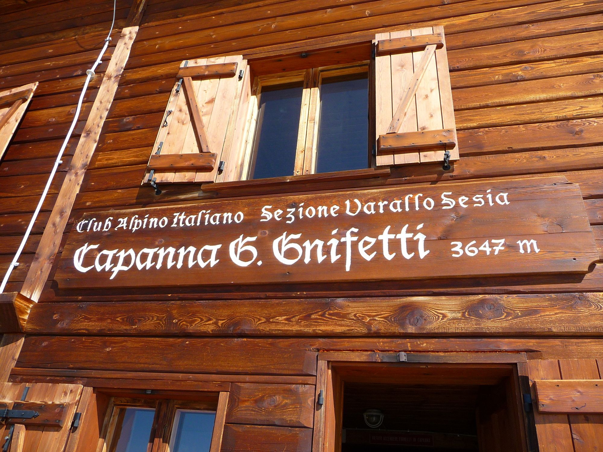
Capanna Gnifetti (3625m)
- Ticket material
-
IGC Italien 1 : 25 000 Wanderkarte 109 Monte Rosa
GPS Downloads


Other tours in the regions
-
Unterwallis
23
-
Mattertal
25
-
Gressoney La Trinité
5


, Nordwand und Zmuttgrat (rechts).")
