© Appenzellerland Tourismus AR - Celina Bernhart
© Appenzellerland Tourismus AR - Jana Bacher
© Appenzellerland Tourismus AR - Jana Bacher
- Brief description
-
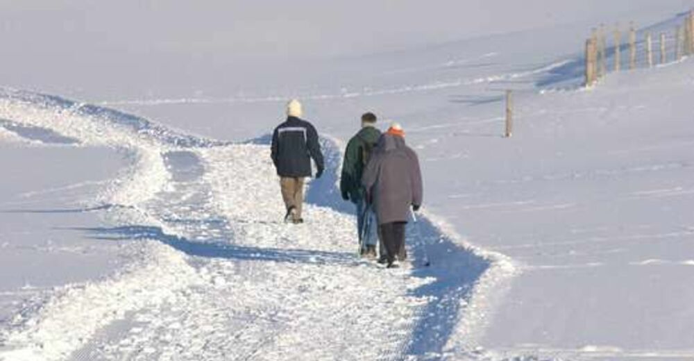
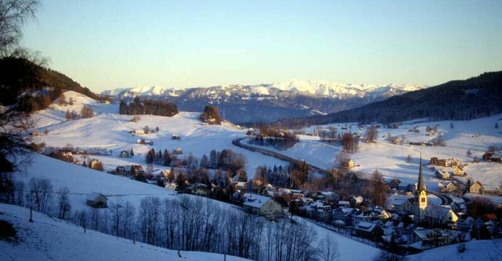
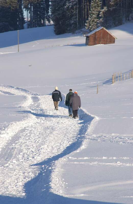
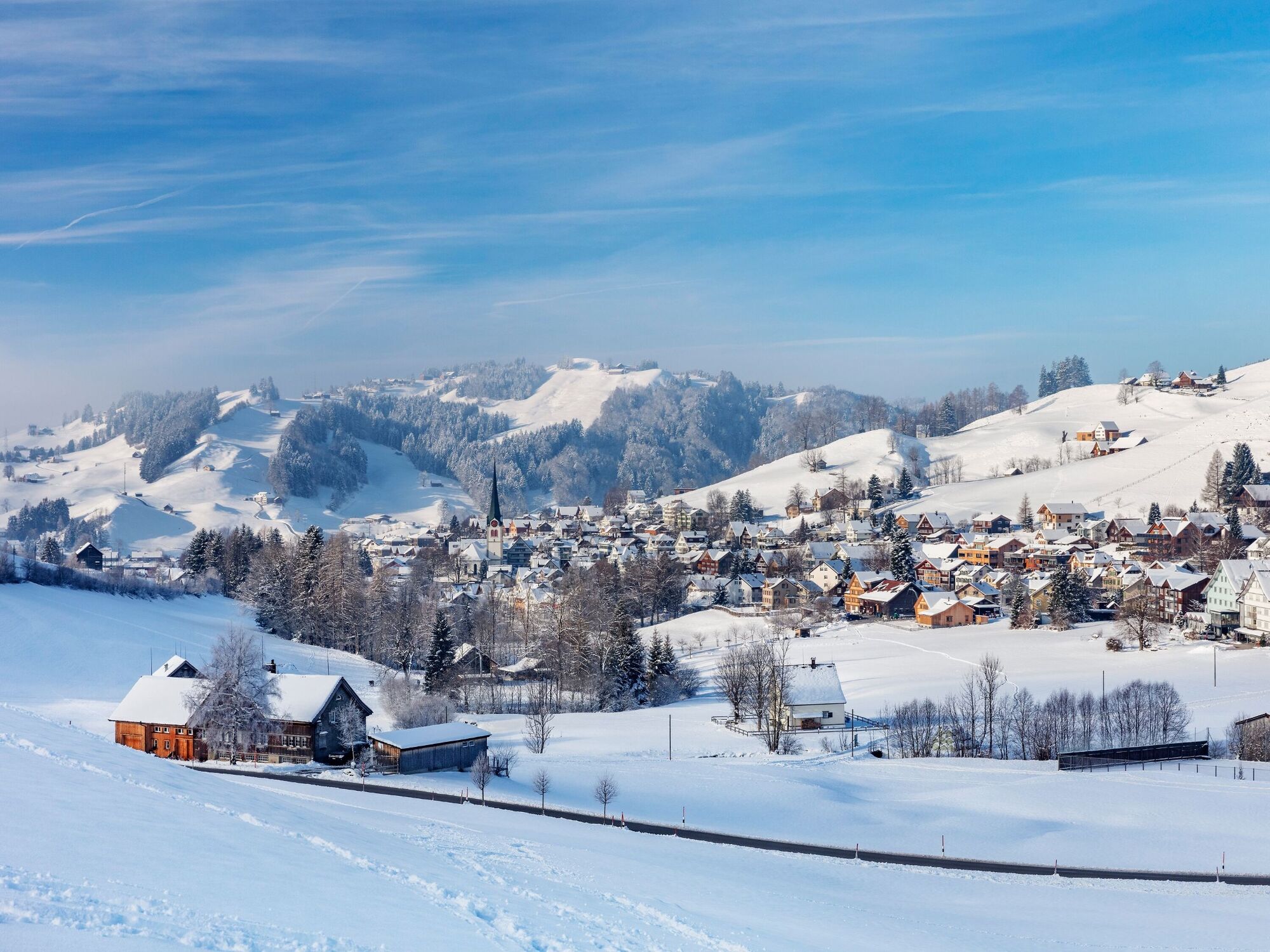
Hike through (hopefully) snow-covered forests and meadows in Gais and enjoy the great views.
- Difficulty
-
medium
- Rating
-
- Starting point
-
Gais, village
- Route
-
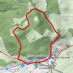
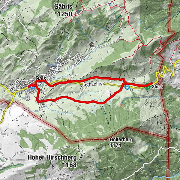
Gais (915 m)0.1 kmZwislen (914 m)0.6 kmSchlachtkapelle4.1 kmDecktenbrunnen5.6 kmGais (933 m)7.8 kmReformierte Kirche Gais7.8 kmFalken7.9 kmHotel zur Krone8.0 kmPfarrei St. Michael8.2 kmGais (915 m)8.3 km
- Best season
-
AugSepOctNovDecJanFebMarAprMayJunJul
- Description
-
This looped trail leads along the yellow-marked hiking trail from the village via Zwislen to Oberzwislen – Hackbühl Fohren – Rietli to Stoss and offers fantastic views of the region. Continue hiking to the Stoss monument (Battle of Stoss). From the monument the trail leads back via Rietli – Schmiedgasse – Hebrig station (AB) – Buchen to the village square.
- Directions
-
Gais - Zwislen - Hackbühl Fohren - Rietli - Stoss - Rietli - Hebrig - Buchen - Gais
- Highest point
- 992 m
- Endpoint
-
Gais, village
- Height profile
-
 © outdooractive.com
 - Equipment
-
Good footwear, hiking or trekking shoes
- Tips
-
A visit to the Stoss restaurant.
- Additional information
- Parking
-
Parking is available at Gais village centre.

- Author
-
The tour Food for thought and a feast for the eyes is used by outdooractive.com provided.
GPS Downloads


General info
Refreshment stop
A lot of view
Other tours in the regions
-
St. Gallen - Bodensee
115
-
Appenzell Innerrhoden
49
-
Gais
14